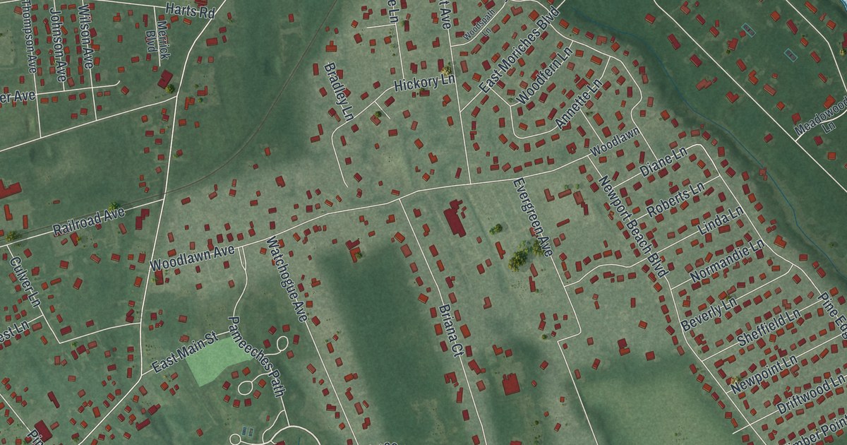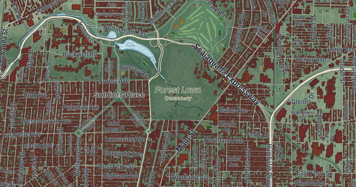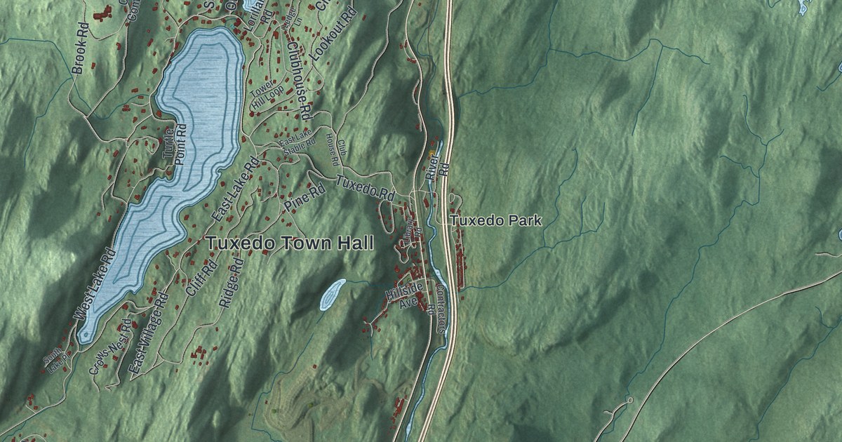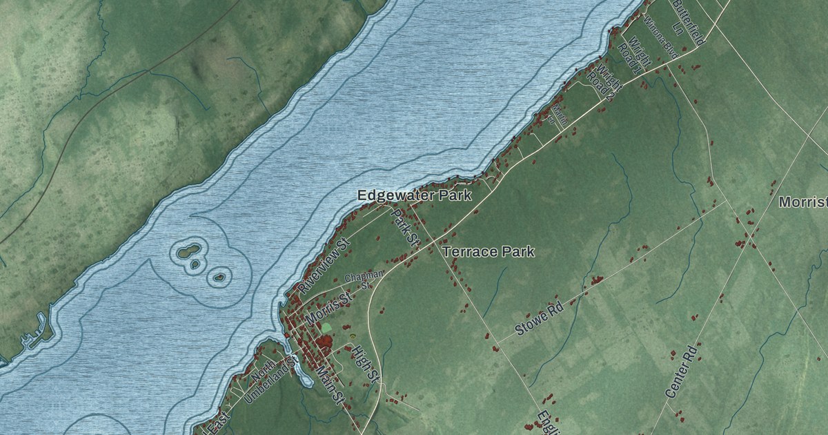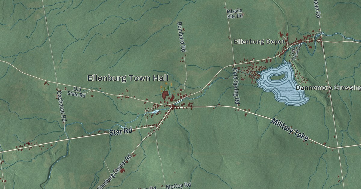
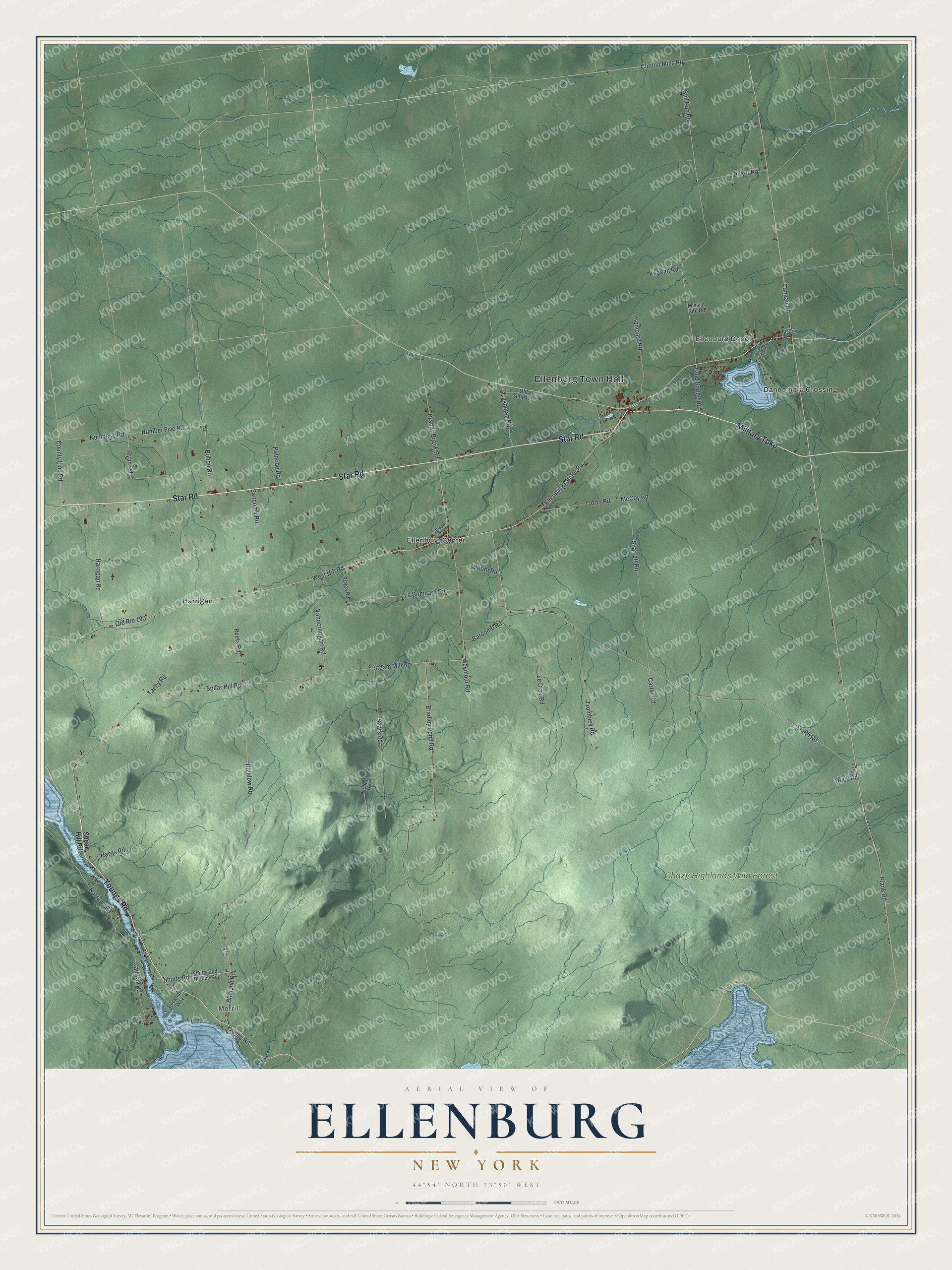
This beautifully detailed map of Ellenburg, New York was created in 2026 using aerial imagery combined with modern topographical, census, street and landmark data. It’s a one-of-a-kind view of Ellenburg that combines accurate data with a vintage aesthetic. The map shows every building in its true location, many of the roads carry their names, and the shaded topographic relief shows the shape of the land.
Explore an aerial view of Ellenburg, New York
On the map you’ll find Ellenburg Town Hall, Merrill, Ellenburg Depot, Dannemora Crossing, Ellenburg Center, Harrigan, and Chazy Highlands Wild Forest, along with Military Turnpike, Youngs Road, Star Road, Bigelow Road, and more. If you look closely you can even find your house accurately drawn in its correct location. Zoom in on the preview to look for yours.
Did You Know?
Ellenburg takes its name from Ellen Murray, daughter of landowner John R. Murray. Settlers first arrived around 1800, and the town was formed from part of Mooers in 1830. During the Cold War, two Atlas missile silos stood here. They were run from Plattsburgh Air Force Base and stayed in service from 1962 to 1965.
Take a closer look at the Ellenburg map
Names on this map
These names are printed on this map.
Places: Ellenburg Town Hall, Merrill, Ellenburg Depot, Chazy Highlands Wild Forest, Dannemora Crossing, Ellenburg Center and Harrigan.
Streets and roads: Military Turnpike, Youngs Road, Star Road, Bigelow Road, Ellenburg Center Road, Shutts Road, Spear Hill Road, Canaan Road, Plank Road, Steam Mill Road, Old Route 190, West Hill Road.
More street names, A to Z
Arno Road, Baker Road, Barcomb Road, Blanche Road, Bohon Road, Bombard Road, Booth Road, Boyea Road, Bradley Pond Road, Brandy Brook Road, Buckhorn Way, Bull Run Road, Carlson Street, Carter Road, Cashman Road, Clinton Mills Road, Cold Spring Road, County Line Road, Gadway Road, Harrigan Road, Harris Road, Keegan Road, La Bombard Road, Lake Roxanne Road, Le Clair Road, McCoy Road, Missile Site Road, Narrows Road, Nichols Road, Number 5 Road, Number Five Road, Old State Road, Patnode Road, Peets Road, Rock Road, Ryan Road, Sancomb Road, Saxe Way, Sears Road, Seymour Road, Sharrett Road, Shutts and Blanch Road, Smith Road, Tacey Road, Trombley Road, Vanderbogart Road.
See it on a wall
The Ellenburg map as a framed print. Swipe for more.


This beautifully detailed map of Ellenburg makes an attractive addition to your office, library, or den, and it can even be used to teach children the geography and history of the area. It also makes a great gift for anyone with Ellenburg roots. When you’re done exploring, click here to get your copy of the Ellenburg map.