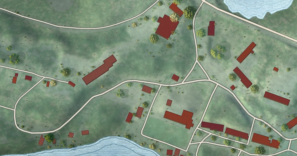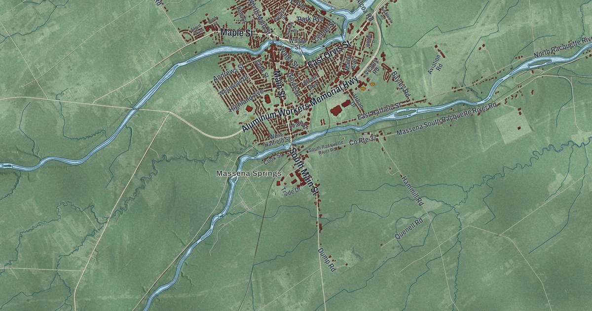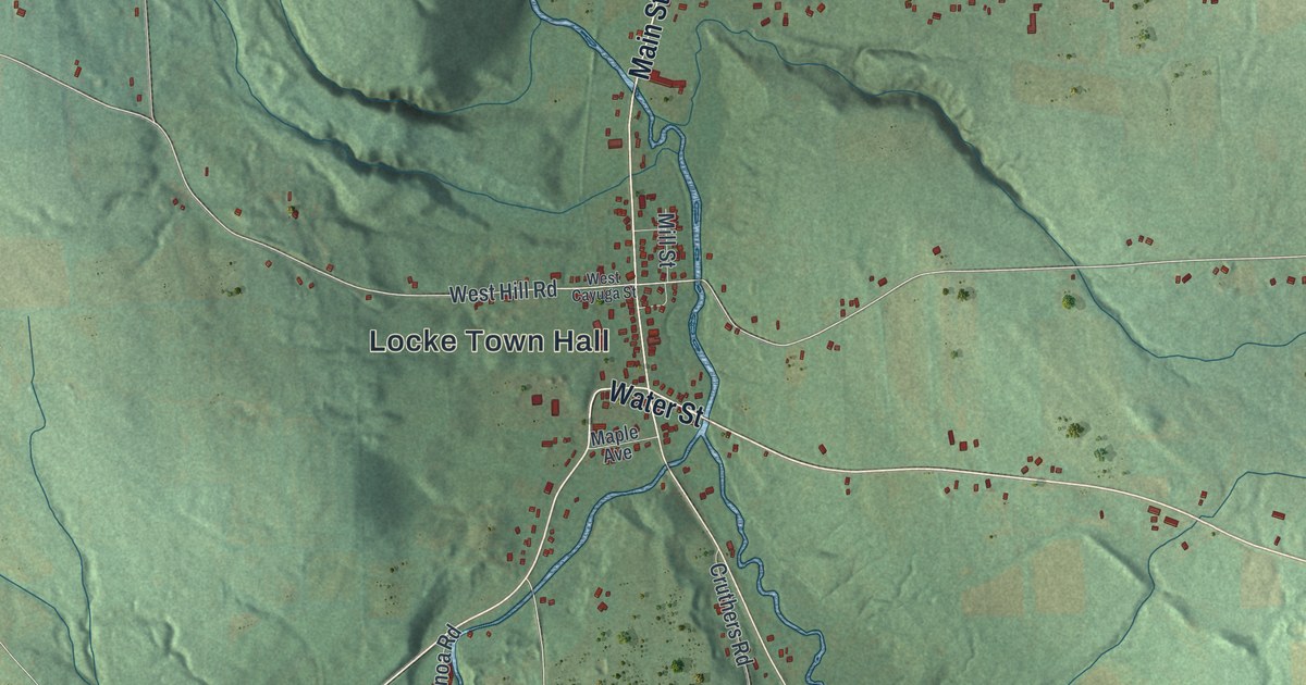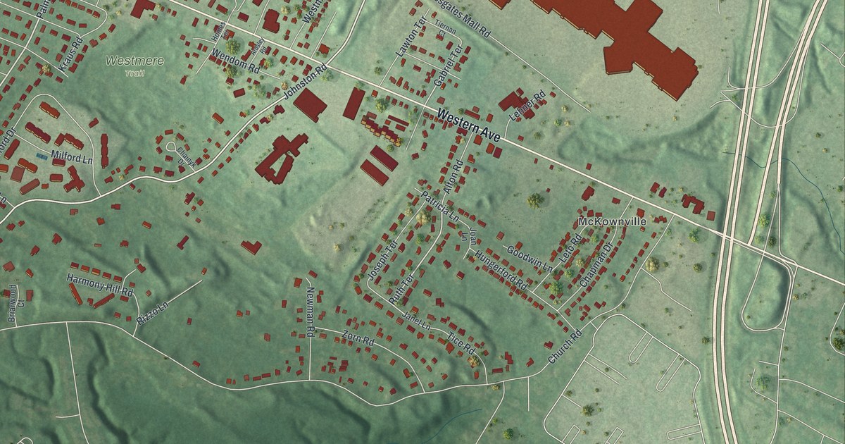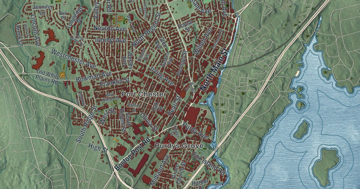
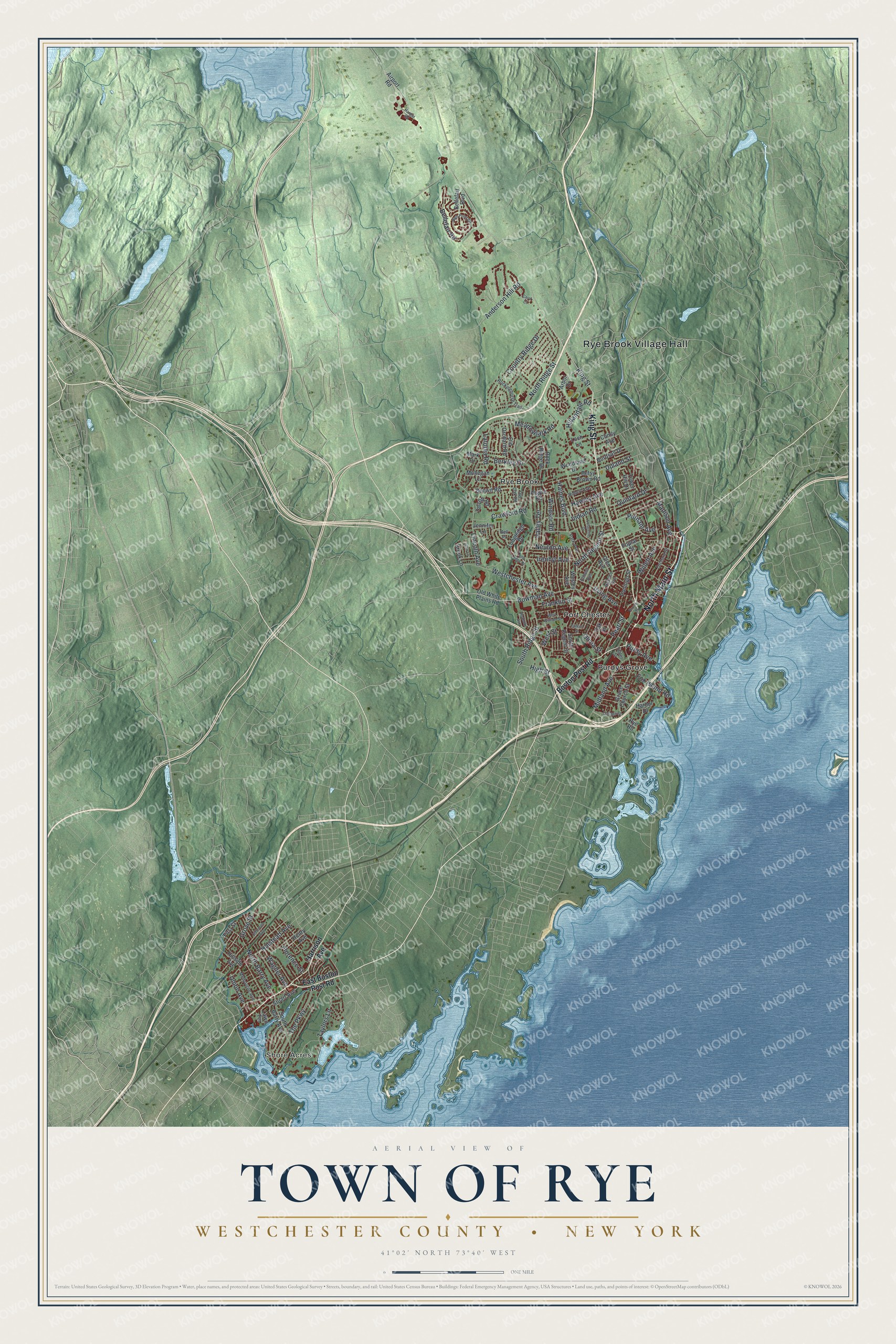
This beautifully detailed map of the Town of Rye, Westchester County, New York was created in 2026 using aerial imagery combined with modern topographical, census, street and landmark data. It’s a one-of-a-kind view of the Town of Rye that combines accurate data with a vintage aesthetic. The map shows every building in its true location, many of the roads carry their names, and the shaded topographic relief shows the shape of the land.
Explore an aerial view of the Town of Rye, Westchester County, New York
On the map you’ll find Rye Brook Village Hall, Shore Acres, Port Chester, Purdys Grove, and Rye Brook, along with Main Street, King Street, Boston Post Road, Harrison Avenue, and more. If you look closely you can even find your house accurately drawn in its correct location. Zoom in on the preview to look for yours.
Take a closer look at the Town of Rye, Westchester County map
Names on this map
These names are printed on this map.
Places: Rye Brook Village Hall, Shore Acres, Port Chester, Purdys Grove and Rye Brook.
Streets and roads: North Main Street, King Street, North Regent Street, Putnam Avenue, Pearl Street, Willett Avenue, Bowman Avenue, Anderson Hill Road, South Ridge Street, North Ridge Street, Westchester Avenue, The Parkway.
More street names, A to Z
Airport Road, Arbor Drive, Argyle Road, Bellefair Boulevard, Bellefair Road, Bell Place, Berkley Drive, Betsy Brown Road, Bonwit Road, Boston Post Road, Broad Street, Brook Lane, Burdsall Drive, Carol Court, Clinton Street, Comly Avenue, Cottage Street, Country Ridge Drive, Crawford Road, East Boston Post Road, Elmont Avenue, First Street, Florence Street, Fox Island Road, Franklin Street, Glen Avenue, Grace Church Street, Grove Street, Haines Boulevard, Halstead Avenue, Hangar Road, Harbor Drive, Harrison Avenue, Haseco Avenue, Hawley Avenue, Henry Avenue, High Point Circle, High Street, Hillandale Road, Hillside Avenue, Indian Road, Irenhyl Avenue, Irving Avenue, Jean Lane, Jefferson Avenue, Jennifer Lane, Lafayette Drive, Latonia Road, Lawn Terrace, Lincoln Avenue, Loch Lane, Longledge Drive, Long Ledge Drive, Madison Avenue, Mark Drive, Meadowlark Road, Melbourne Avenue, Midland Avenue, Mohegan Lane, Neuton Avenue, North Barry Avenue, Oak Street, Old Oak Road, Old Orchard Road, Old White Plains Road, Olivia Street, Orchard Street, Park Avenue, Poningo Street, Poplar Street, Purdy Avenue, Quintard Drive, Roanoke Avenue, Robert Avenue, Rockinghorse Trail, Rock Ridge Drive, Rye Road, Slater Street, South Barry Avenue, South Regent Street, Stuart Avenue, Talcott Road, Taylors Lane, Tower Hill Drive, Union Avenue, Upland Street, Valley Terrace, Wagner Avenue, Wesley Avenue, West Street, West William Street, Windsor Road, Woodland Drive.
See it on a wall
The Rye, Westchester County map as a framed print. Swipe for more.


This beautifully detailed map of the Town of Rye, Westchester County makes an attractive addition to your office, library, or den, and it can even be used to teach children the geography and history of the area. It also makes a great gift for anyone who grew up in the Town of Rye or moved away. When you’re done exploring, click here to get your copy of the Town of Rye, Westchester County map.