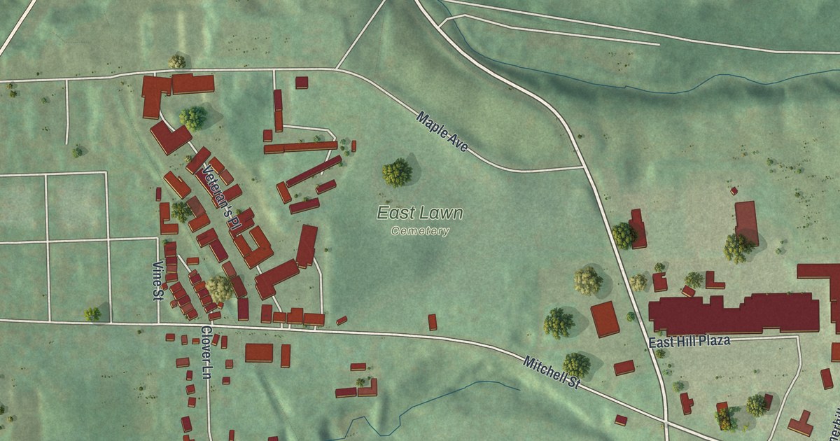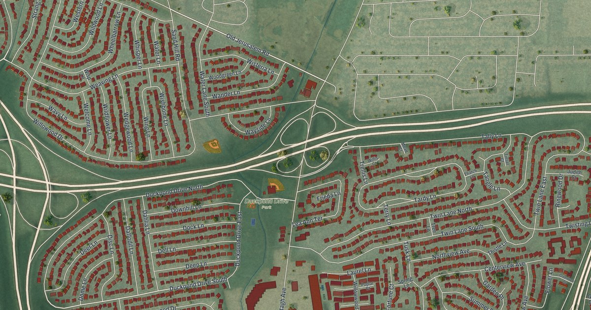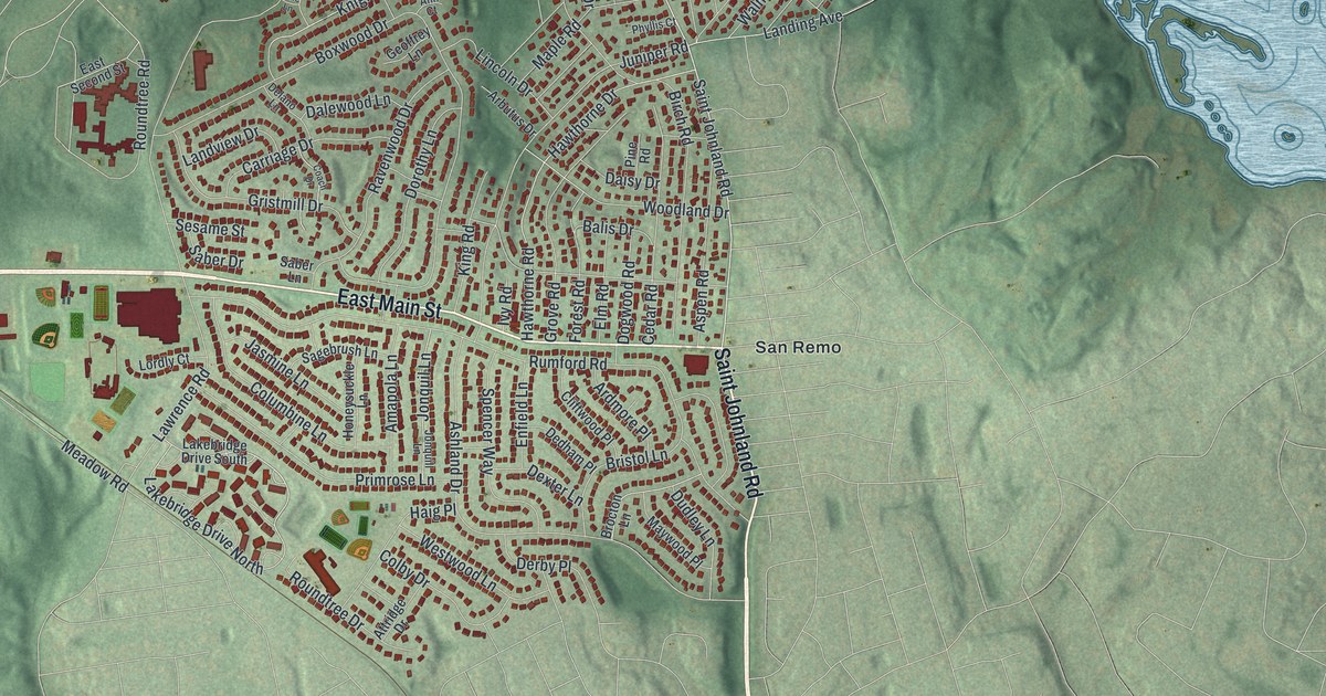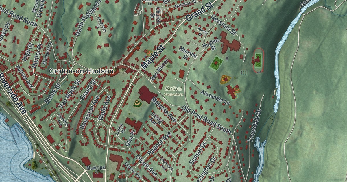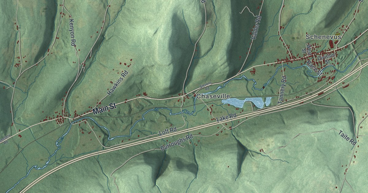
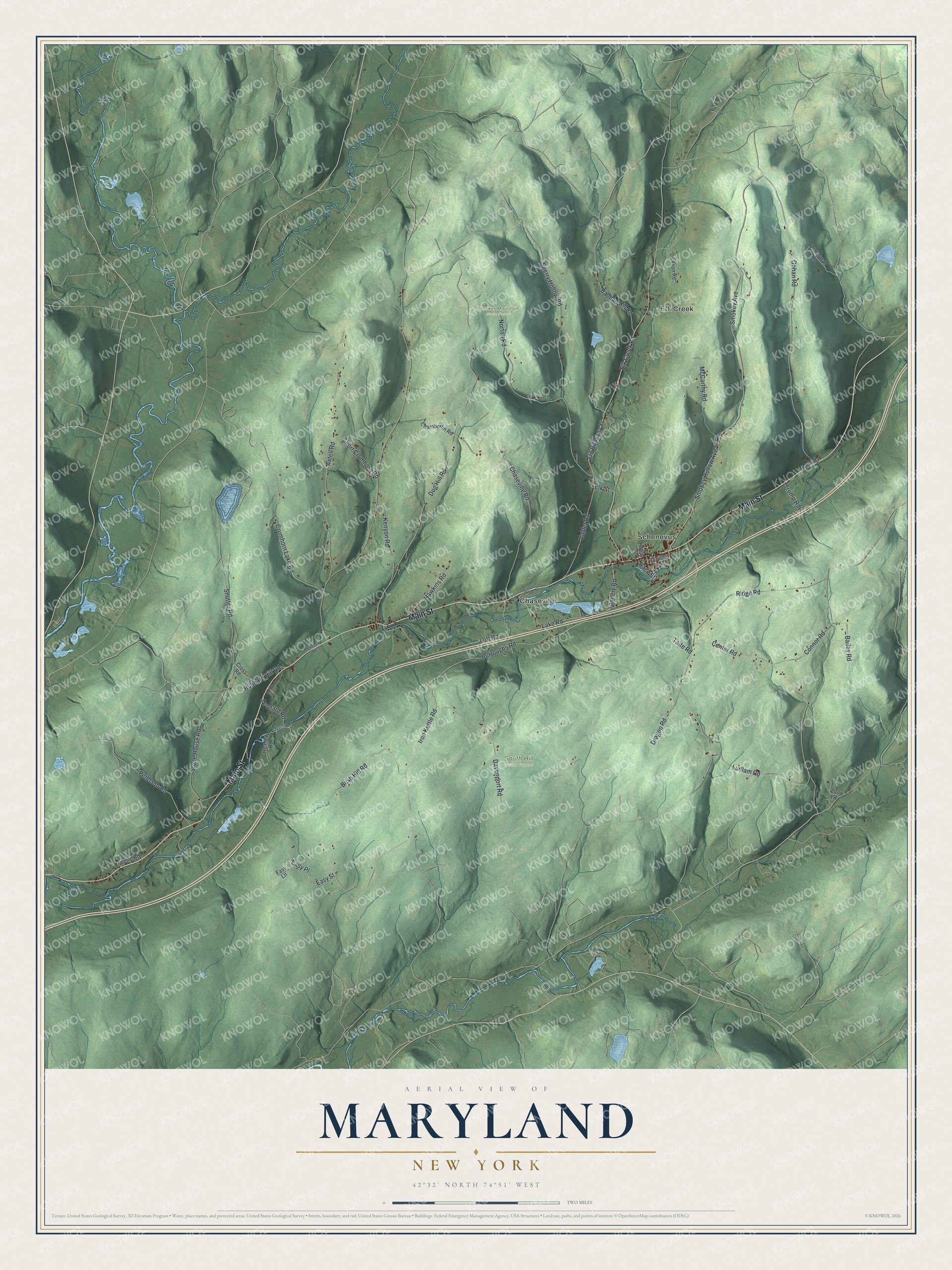
This beautifully detailed map of Maryland, New York was created in 2026 using aerial imagery combined with modern topographical, census, street and landmark data. It’s a one-of-a-kind view of Maryland that combines accurate data with a vintage aesthetic. The map shows every building in its true location, many of the roads carry their names, and the shaded topographic relief shows the shape of the land.
Explore an aerial view of Maryland, New York
On the map you’ll find Chaseville, Elk Creek, Schenevus, Hooker Mountain State Forest, and South Hill State Forest, along with Main Street, Easy Street, Loft Road, Elk Street, Iron Kettle Road, and more. If you look closely you can even find your house accurately drawn in its correct location. Zoom in on the preview to look for yours.
Did You Know?
This Otsego County town takes its name from the state of Maryland. Settlers first arrived around 1790 in its southwest corner. In 1808 it was split off from Worcester. From about 1909 to 1912, Emmons L. Peck of Carbondale, Pennsylvania, ran a big lumber operation here with a steam tramway.
Take a closer look at the Maryland map
Names on this map
These names are printed on this map.
Places: Hooker Mountain State Forest, South Hill State Forest, Chaseville, Elk Creek and Schenevus.
Streets and roads: Main Street, Easy Street, Loft Road, Elk Street, Iron Kettle Road, Dog Hill Road, Smokey Avenue, Smokey Hollow Avenue, County Highway 34, Gohan Road, Elk Creek Road, Center Road.
More street names, A to Z
Amo Avenue, Axtell Road, Badeau Hill Road, Bailey Road, Burroughs Road, Bush Hill Road, Cemetery Road, Chamberlin Road, Chaseville Road, Connor Road, Cross Road, Crumhorn Lake Road, Davenport Road, Dickson Road, Division Street, Dragoo Road, Easy Lane, Easy Place, Hawkins Road, Heaney Road, Hubbard Hill Road, Kenyon Road, Lake Road, Leonard Road, Ludlam Road, McCarthy Road, Moffre Road, Muehl Road, Norton Road, Peterson Road, Race Street, Ridge Road, Risch Road, Short Crumhorn Road, Shutter Road, Sperry Hollow Road, Stevens Road, Stone House Road, Taite Road, Tannery Road, Tromp Road, Valder Road, Waterman Road, West Street, Zuill Lane.
See it on a wall
The Maryland map as a framed print. Swipe for more.


This beautifully detailed map of Maryland makes an attractive addition to your office, library, or den, and it can even be used to teach children the geography and history of the area. It also makes a great gift for anyone with Maryland roots. When you’re done exploring, click here to get your copy of the Maryland map.