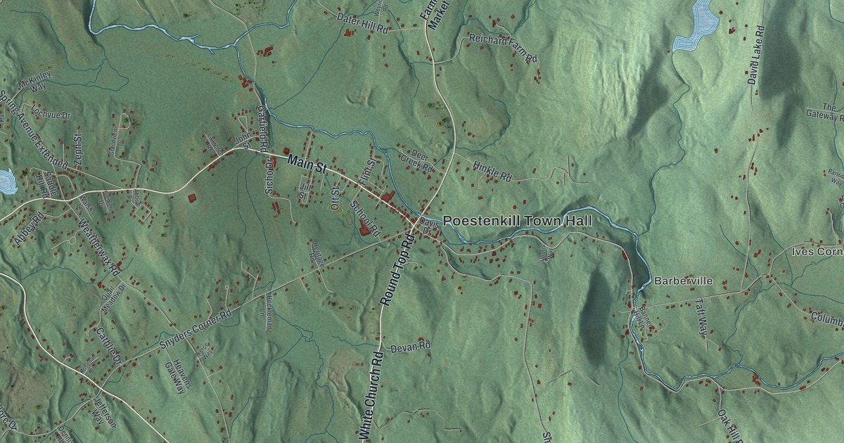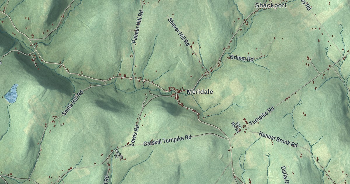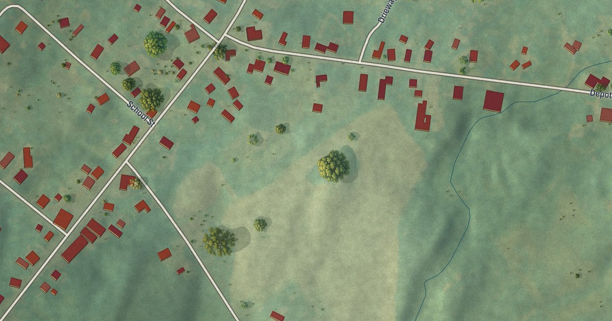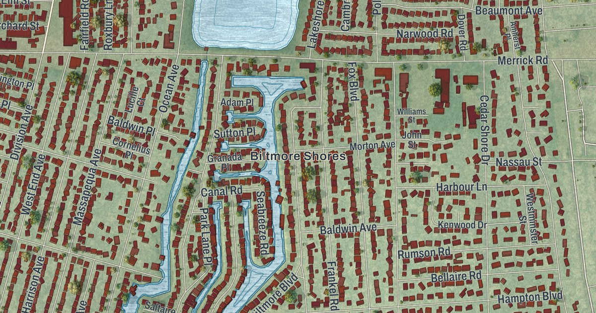
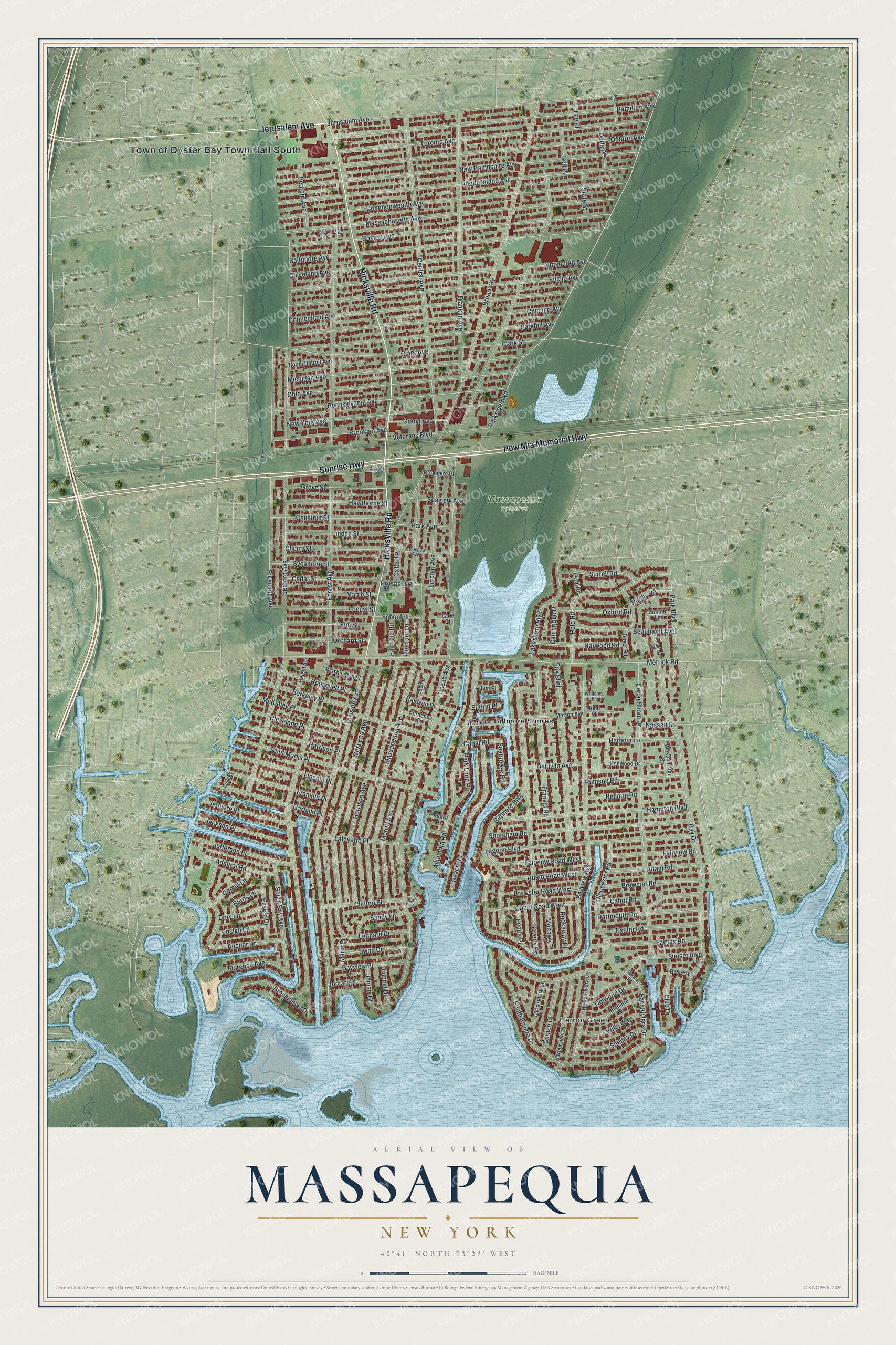
This beautifully detailed map of Massapequa, New York was created in 2026 using aerial imagery combined with modern topographical, census, street and landmark data. It’s a one-of-a-kind view of Massapequa that combines accurate data with a vintage aesthetic. The map shows every building in its true location, many of the roads carry their names, and the shaded topographic relief shows the shape of the land.
Explore an aerial view of Massapequa, New York
On the map you’ll find Biltmore Shores and Harbor Green, along with Sunrise Highway, Hicksville Road, Pow Mia Memorial Highway, Jerusalem Avenue, Parkside Boulevard, and more. If you look closely you can even find your house accurately drawn in its correct location. Zoom in on the preview to look for yours.
Did You Know?
Massapequa was once a small resort for visitors from Manhattan and Brooklyn. Its best known spot was the Massapequa Hotel, built in 1888 with 300 rooms for summer guests. Guests could golf, swim, boat, cycle and fish at Massapequa Lake. Business fell off in the early 1900s, and the hotel closed in 1914.
Take a closer look at the Massapequa map
Names on this map
These names are printed on this map.
Places: Town of Oyster Bay Town Hall South, Massapequa Preserve, Biltmore Shores and Harbor Green.
Streets and roads: Sunrise Highway, Hicksville Road, Pow Mia Memorial Highway, Jerusalem Avenue, Parkside Boulevard, East Riviera Drive, Ocean Avenue, Forest Avenue, Seaford Avenue, Broadway, Bayview Avenue, Massapequa Avenue.
More street names, A to Z
Adam Place, Adam Road, Adam Road West, Admiral Road, Alhambra Road, Amherst Place, Anchor Drive, Ash Place, Baldwin Avenue, Baldwin Place, Baltimore Avenue, Bay Drive, Bay Link, Bayview Place, Beach Road, Beaumont Avenue, Bedford Avenue, Bellaire Road, Bell Place, Berkeley Place, Berkshire Place, Beverly Road, Biltmore Boulevard, Bonnie Lane, Boston Avenue, Brewster Road, Brewster Road West, Brockmeyer Drive, Brooklyn Avenue, Burns Lane, Cabot Road, Cabot Road West, Cambridge Drive, Cameo Drive, Canal Road, Cedar Shore Drive, Cedar Street, Central Avenue, Cherry Street, Chestnut Street, Chicago Avenue, Clark Avenue, Clark Street, Clearview Lane, Cleveland Avenue, Cleveland Place, Clinton Place, Club Drive, Comet Lane, Commonwealth Avenue, Connecticut Avenue, Cornelius Place, Dartmouth Road, Division Avenue, Dolphin Drive, Doris Place, Dory Lane, Dover Road, Elm Street, Ensign Drive, Ensign Lane, Euclid Avenue, Exeter Road, Fairfax Road, Fairfield Road, Fairview Road, Fairview Road West, Fisk Place, Florence Avenue, Fox Boulevard, Frankel Road, Franklin Avenue, Franklin Place, Garfield Place, Gloucester Road, Granada Place, Grand Avenue, Grove Street, Haight Avenue, Hamilton Avenue, Hampton Boulevard, Harborview Drive, Harbour Lane, Harrison Avenue, Harrison Place, Hawthorne Street, Jackson Place, Jeanette Drive, Jefferson Place, Jetmore Place, John Street, Jomarr Court, Jomarr Place, Kenwood Drive, Killians Road, Lafayette Place, Lagoon Boulevard, Lake Court, Lakeshore Boulevard, Lakeview Avenue, Lee Place, Leonard Drive, Lincoln Avenue, Lincoln Place, Linden Street, Locust Street, Lucille Court, Maple Street, Marie Place, Massachusetts Avenue, McKinley Place, Merrick Road, Merritt Avenue, Michigan Avenue, Mohawk Place, Morton Avenue, Narwood Road, Nassau Street, New Hampshire Avenue, New York Avenue, Oak Place, Ocean Court, Ohio Avenue, Ontario Avenue, Orchard Street, Oxford Place, Oxford Road, Park Avenue, Park Boulevard, Parkhill Avenue, Park Lane Place, Pennsylvania Avenue, Pequa Place, Perth Road, Pittsburgh Avenue, Polo Road, Prospect Place, Reed Place, Rhode Island Avenue, Riverside Avenue, Riviera Drive, Rockaway Place, Roosevelt Place, Roxbury Lane, Rugby Road, Rumson Road, Saint Marks Place, Saltaire Place, Sandy Lane, School Street, Seabreeze Road, Seaview Avenue, Shelley Drive, Shoreham Road, South Bay Avenue, South Detroit Avenue, South Riviera Drive, State Street, Sunset Boulevard, Surrey Road, Sutton Place, Swan Drive, Sycamore Street, Tanwood Drive, Toronto Avenue, Veterans Boulevard, Washington Place, West End Avenue, Westminster Street, West Riviera Drive, Willa Way, Williams Street.
See it on a wall
The Massapequa map as a framed print. Swipe for more.


This beautifully detailed map of Massapequa makes an attractive addition to your office, library, or den, and it can even be used to teach children the geography and history of the area. It also makes a great gift for anyone with Massapequa roots. When you’re done exploring, click here to get your copy of the Massapequa map.