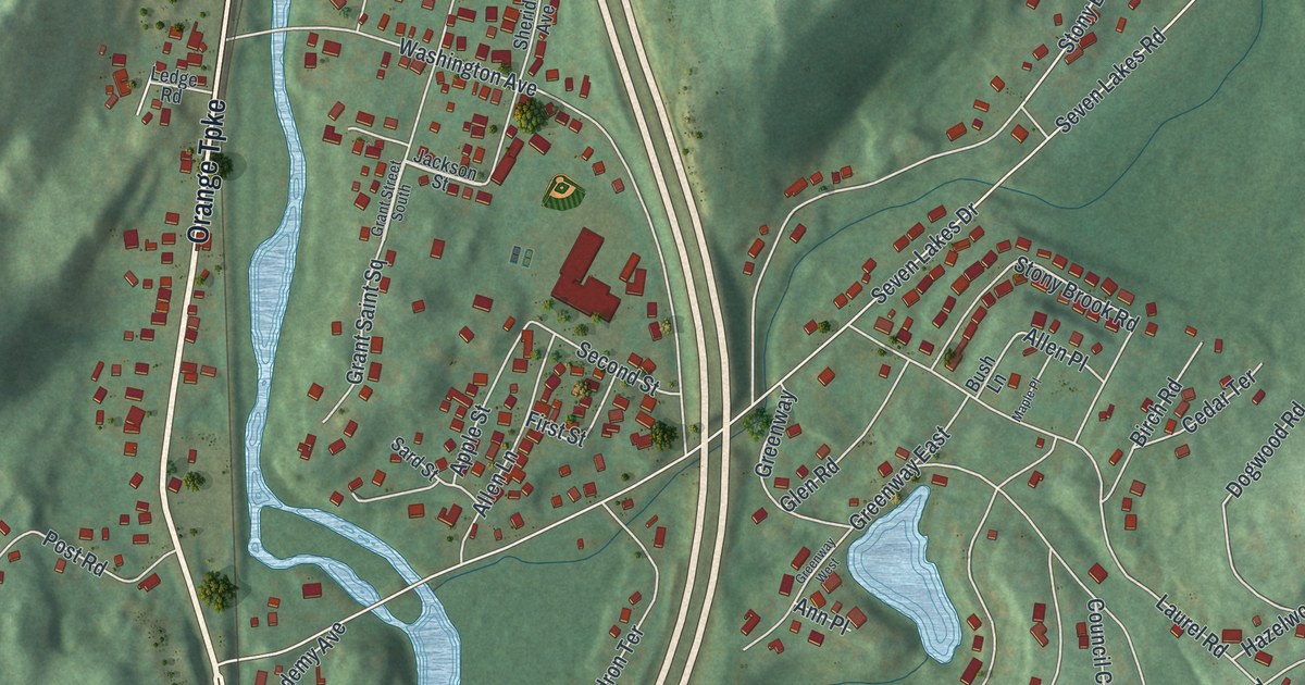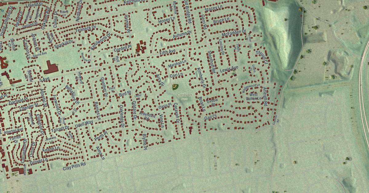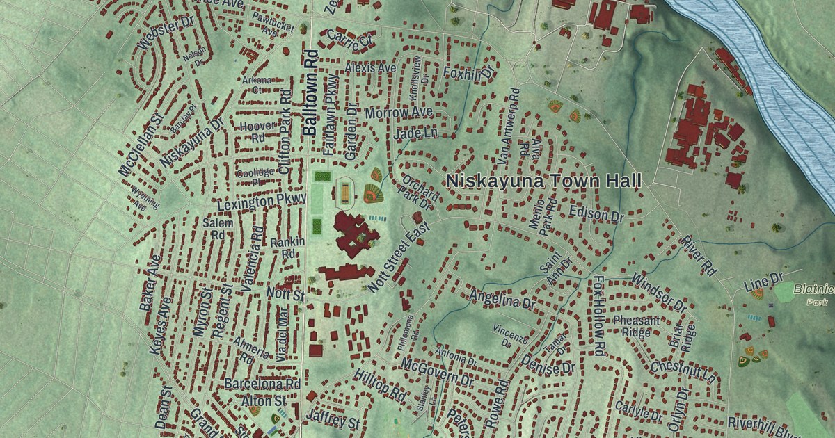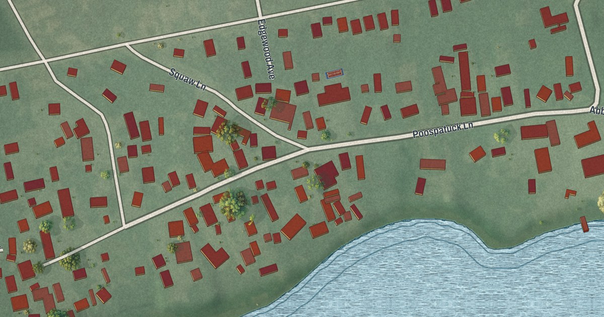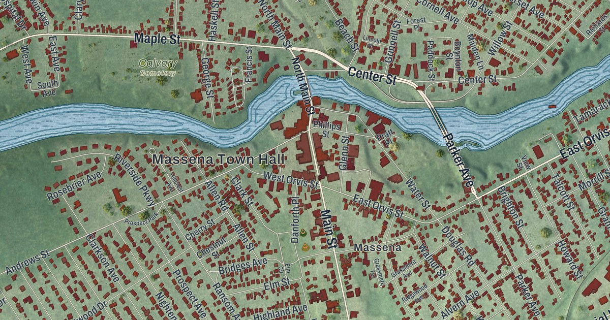
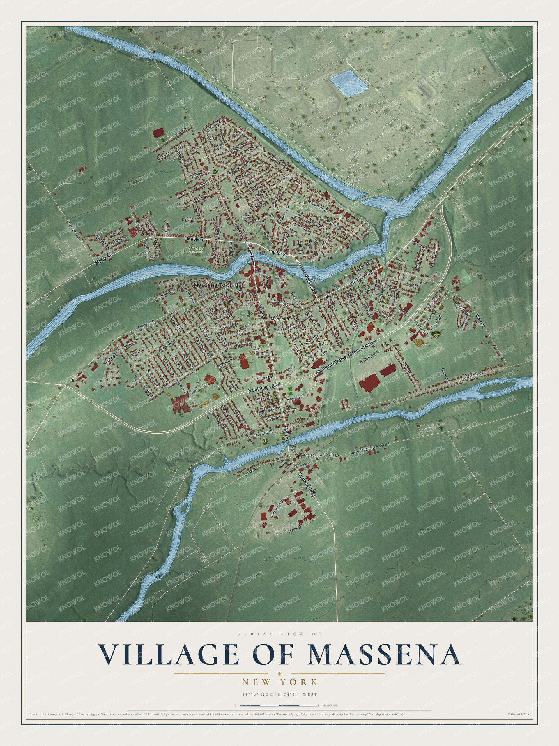
This beautifully detailed map of the Village of Massena, New York was created in 2026 using aerial imagery combined with modern topographical, census, street and landmark data. It’s a one-of-a-kind view of the Village of Massena that combines accurate data with a vintage aesthetic. The map shows every building in its true location, many of the roads carry their names, and the shaded topographic relief shows the shape of the land.
Explore an aerial view of the Village of Massena, New York
On the map you’ll find Massena Town Hall, Massena Springs, Alcoa Park, and Calvary Cemetery, along with Parker Avenue, Orvis Street, Center Street, Main Street, and more. If you look closely you can even find your house accurately drawn in its correct location. Zoom in on the preview to look for yours.
Did You Know?
Settlers came to Massena around 1803, and nearby medicinal springs helped it grow. The mid 1900s brought a boom, as crews built the Eisenhower locks and a power project named for Franklin D. Roosevelt. The locks helped link the Great Lakes to the Atlantic by way of the St. Lawrence. Alcoa and Reynolds Metals made Massena the county’s factory center.
Take a closer look at the Village of Massena map
Names on this map
These names are printed on this map.
Places: Massena Town Hall, Massena Springs, Alcoa Park, Calvary Cemetery, Massena, Highland Park and Prospect Park.
Streets and roads: Parker Avenue, East Orvis Street, Center Street, Main Street, Maple Street, Aluminum Workers Memorial Highway, Saint Regis Boulevard, South Main Street, Andrews Street, North Main Street, West Hatfield Street, East Hatfield Street.
More street names, A to Z
Alden Street, Allen Road, Allen Street, Alvern Avenue, Ames Street, Amherst Road, Ann Street, Ashbury Place, Ash Street, Baldwin Avenue, Barnhart Road, Bayley Road, Beach Street, Belmont Street, Bishop Avenue, Bowers Street, Boynton Street, Bridges Avenue, Brighton Street, Carney Place, Cecil Avenue, Chase Street, Cherry Street, Chestnut Street, Church Drive, Churchill Avenue, Claremont Avenue, Clarkson Avenue, Clark Street, Clary Street, Colgate Drive, Columbia Road, Commerce Drive, Cook Street, Cornell Avenue, Coventry Drive, Cummings Street, Curtis Avenue, Cutry Lane, Dana Street, Danforth Place, Depot Street, Dodge Street, Douglas Road, Dover Street, East Avenue, Elgin Avenue, Elizabeth Drive, Elm Circle, Elm Street, Erwin Avenue, Forest Place, Francis Street, Garfield Avenue, Garvin Avenue, George Street, Glenn Street, Grant Street, Grassmere Avenue, Grassmere Terrace, Grinnell Street, Grove Street, Haskell Street, Highland Avenue, Hillcrest Avenue, Hospital Drive, Howard Street, Isabel Street, James Street, Jefferson Avenue, Judith Street, Kathleen Street, Kennedy Circle, Kent Street, King Street, Lawrence Street, Leach Street, Liberty Avenue, Lincoln Place, Linden Street, Maiden Lane, Malby Avenue, Marie Street, Martin Street, McCluskey Avenue, McKinley Avenue, Middlebury Avenue, Monroe Parkway, Morrill Street, Nightengale Avenue, Nightengale High School, Northview Drive, Ober Street, Orchard Road, Owl Avenue, Paddock Street, Park Avenue, Perkins Road, Phillips Street, Pine Street, Pleasant Street, Pratt Place, Prospect Avenue, Prospect Circle, Railroad Street, Randall Drive, Ransom Avenue, Reed Drive, Richards Street, Ridgewood Avenue, Riverside Parkway, Robinson Road, Robinson Street, Romeo Avenue, Roosevelt Street, Rosebrier Avenue, Russell Road, School Street, Serra Lane, Sharon Drive, Sherwood Drive, Somerset Avenue, South Avenue, South Racquette River Road, South Raquette River Road, South Street, Spruce Street, Stearns Street, Stephenville Street, Stoughton Avenue, Sycamore Street, Talcott Street, Tamarack Street, Temple Street, Town Line Road, Tracy Street, Trade Drive, Urban Drive, Victory Road, View Street, Walnut Street, Warren Avenue, Washington Street, Water Street, Wellington Drive, Wells Street, West Avenue, West Orvis Street, Westwood Drive, Williams Street, Willow Street, Wilson Avenue, Windsor Road, Woodlawn Avenue.
See it on a wall
The Massena map as a framed print. Swipe for more.


This beautifully detailed map of the Village of Massena makes an attractive addition to your office, library, or den, and it can even be used to teach children the geography and history of the area. It also makes a great gift for someone who left the Village of Massena and still calls it home. When you’re done exploring, click here to get your copy of the Village of Massena map.