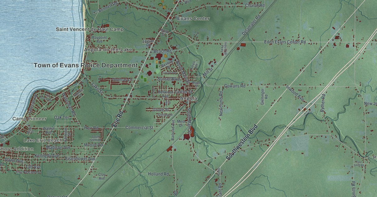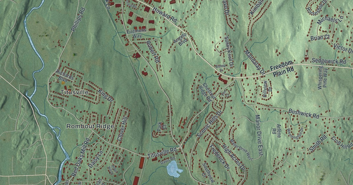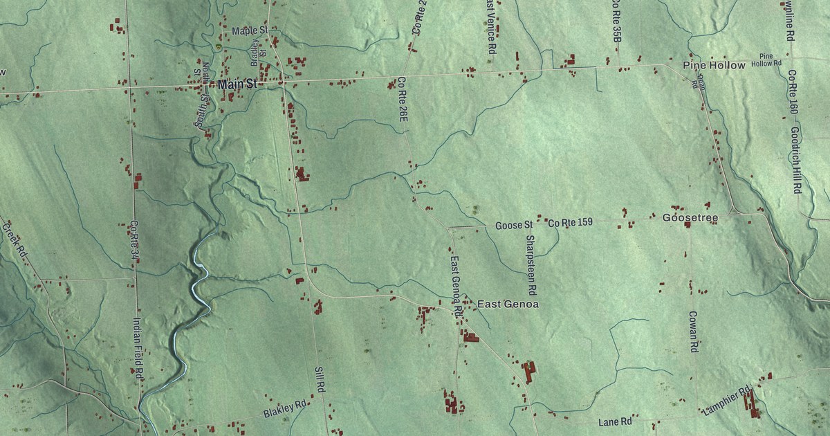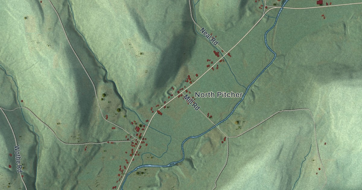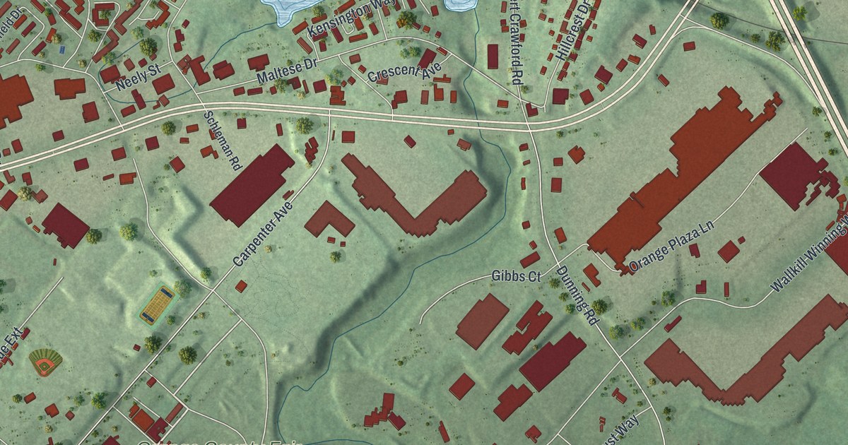
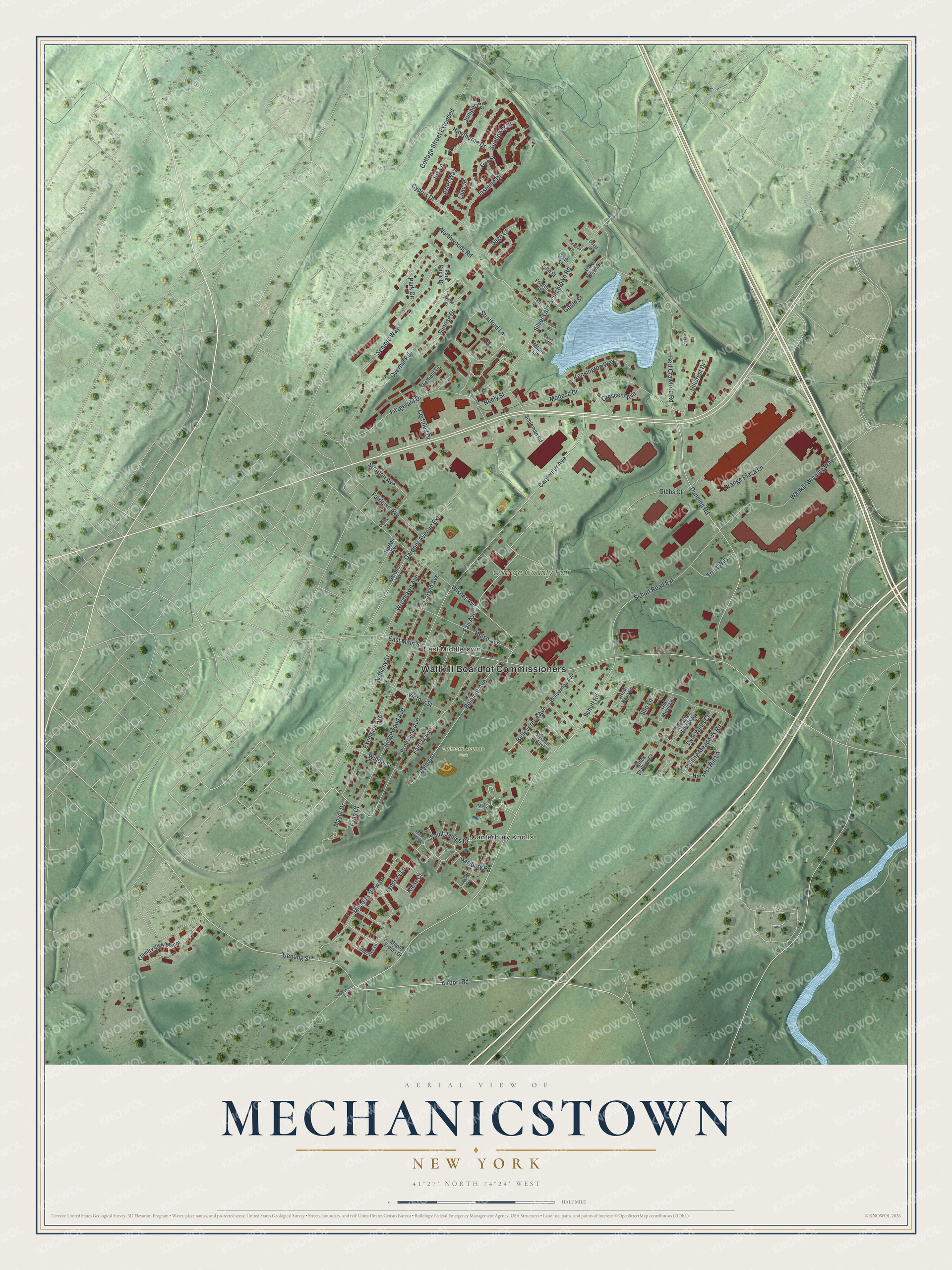
This beautifully detailed map of Mechanicstown, New York was created in 2026 using aerial imagery combined with modern topographical, census, street and landmark data. It’s a one-of-a-kind view of Mechanicstown that combines accurate data with a vintage aesthetic. The map shows every building in its true location, many of the roads carry their names, and the shaded topographic relief shows the shape of the land.
Explore an aerial view of Mechanicstown, New York
On the map you’ll find Wallkill Board of Commissioners, Canterbury Knolls, East Middletown, and Belmont Avenue Park, along with Genung Street, Airport Road, Schutt Road, Kless Court, and more. If you look closely you can even find your house accurately drawn in its correct location. Zoom in on the preview to look for yours.
Take a closer look at the Mechanicstown map
Names on this map
These names are printed on this map.
Places: Wallkill Board of Commissioners, Canterbury Knolls, East Middletown, Belmont Avenue Park and Orange County Fair.
Streets and roads: Genung Street, Airport Road, Schutt Road, Kless Court, Mayer Drive, East Main Street, Rolling Meadows Road, Carpenter Avenue, Dunning Road, Silver Lake Scotchtown Road, Bert Crawford Road, Wisner Avenue.
More street names, A to Z
Anthony Street, Aster Way, Avenue East, Bellevernon Avenue, Bellvernon Avenue, Belmont, Belmont Avenue, Black Stallion Court, Brookline Avenue, Carrie Street, Certified Drive, Cherry Street, Clark Street, Corwin Avenue, Cottage Street Extended, Country View Manor, Crescent Avenue, Cyprus Drive, David Street, Dolsontown Road, Evan Court, Excelsior Avenue, Fair Avenue, Fairfax Avenue, Fairlawn Avenue, Fern Street, Fifth Street, Fitzgerald Drive, Fourth Street, Gardner Avenue, Gardner Avenue Extension, Gibbs Court, Gould Street, Harvest Hill Lane, Hawthorne Drive, Hillcrest Drive, Horton Avenue, Hulse Avenue, Iris Lane, Jasmine Drive, Juniper Circle, Kensington Way, Lake Ridge Drive, Lakeview Street, Lawrence Avenue, Lilac Street, Lindentree Lane, Lyndsey Lane, Maltese Drive, Maple Fields Drive, Maple Lane, Meadow View Drive, Neely Street, Northwoods Road, Old Anvil Lane, Orange Plaza Lane, Overhill Road, Park Circle, Park Circle Drive, Red Barn Lane, Regency Court, Ridgewood Avenue, Russell Mews, Sage Court, Saint James Drive, Salsbury Road, Schleman Road, Schutt Road Extension, Seniors Way, Seventh Street, Sheffield Drive, Silo Lane, Sixth Street, Stratford Lane, Stratton Avenue, Sunflower Street, Sunrise Court, Sunrise Drive, Third Street, Trust Way, Twin Wells Court, Victory Street, Wallkill Winning Way, Weather Vane Way, Willow Street, Woodlawn Avenue.
See it on a wall
The Mechanicstown map as a framed print. Swipe for more.


This beautifully detailed map of Mechanicstown makes an attractive addition to your office, library, or den, and it can even be used to teach children the geography and history of the area. It also makes a great gift for anyone with Mechanicstown roots. When you’re done exploring, click here to get your copy of the Mechanicstown map.