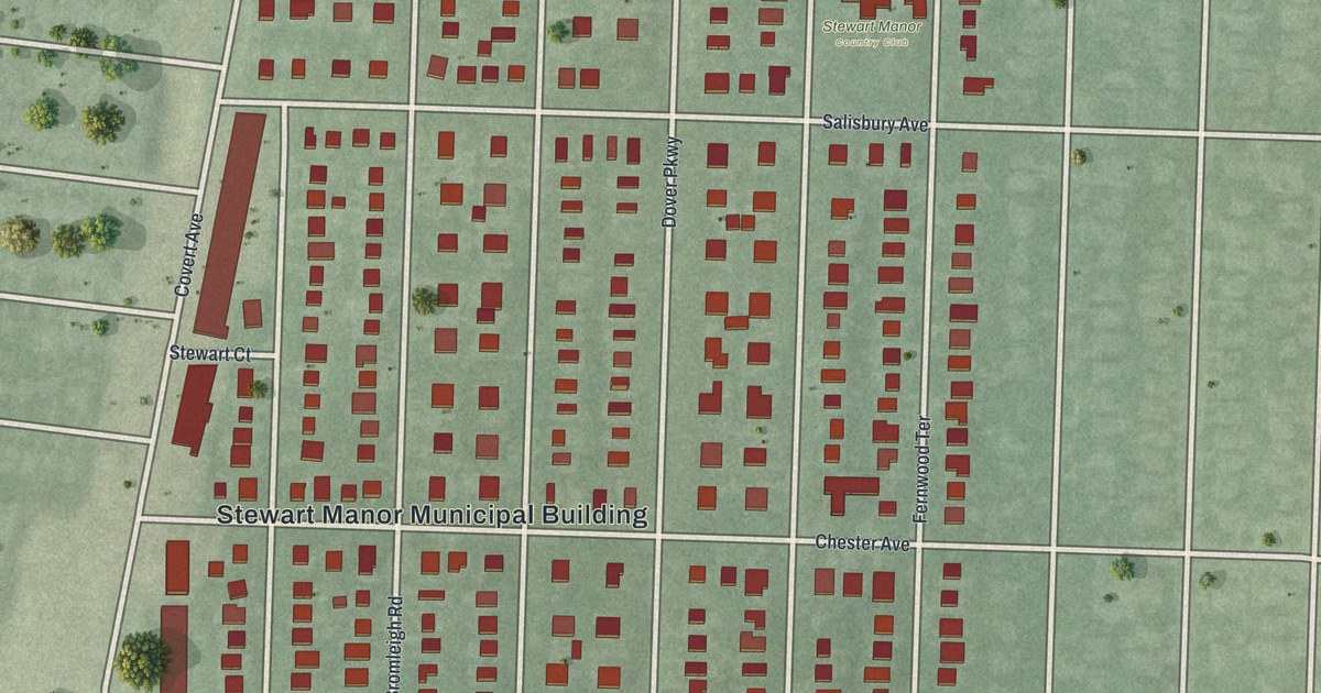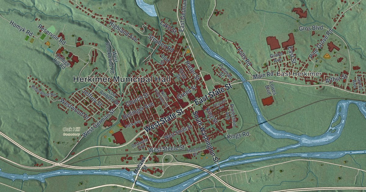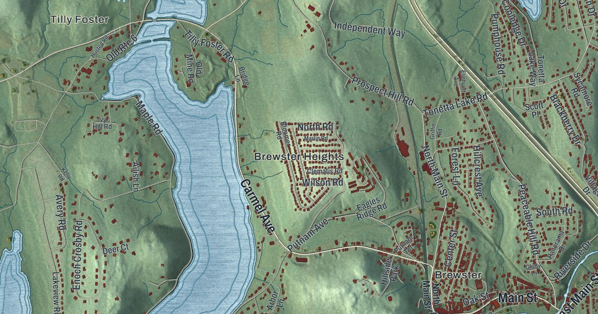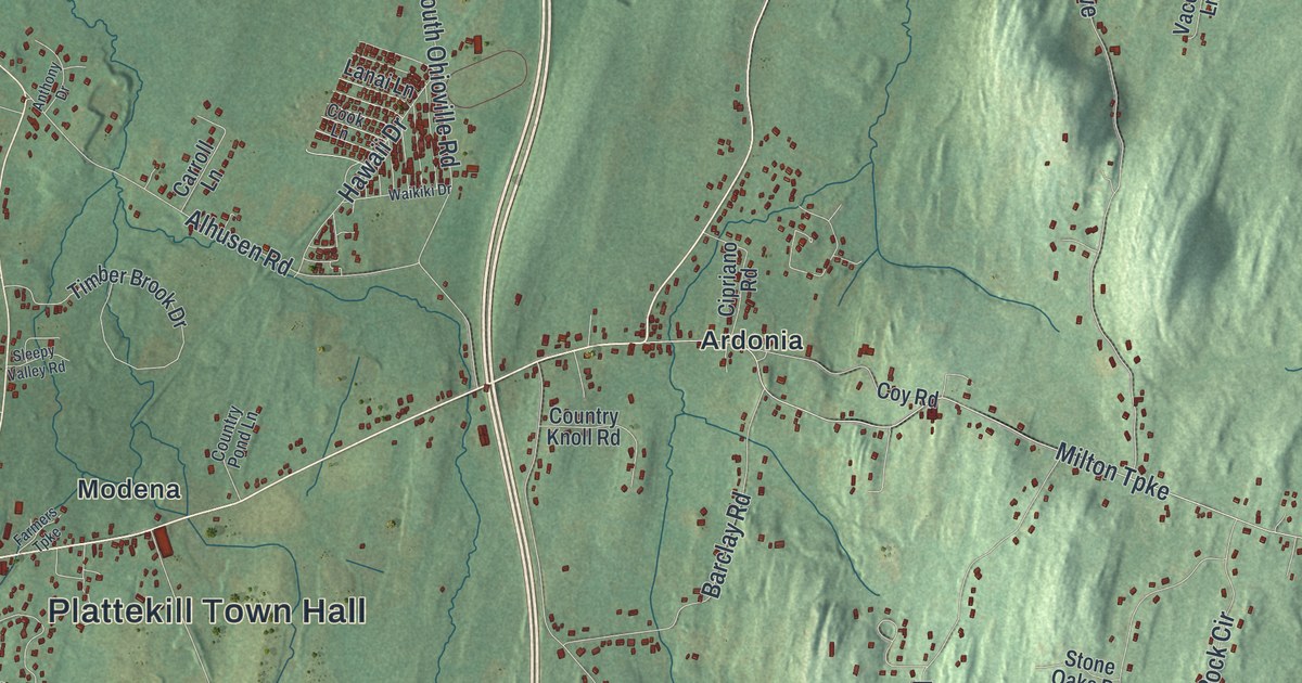
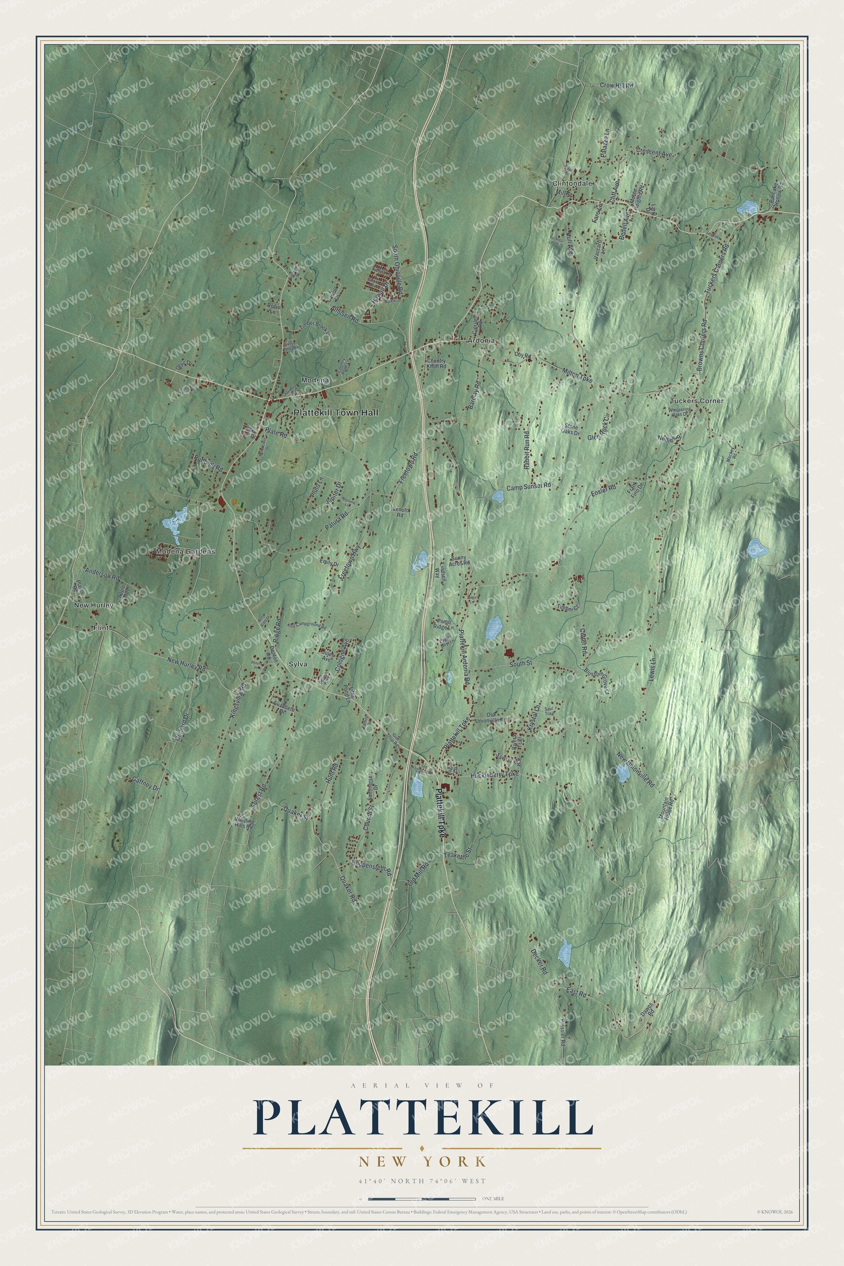
This beautifully detailed map of Plattekill, New York was created in 2026 using aerial imagery combined with modern topographical, census, street and landmark data. It’s a one-of-a-kind view of Plattekill that combines accurate data with a vintage aesthetic. The map shows every building in its true location, many of the roads carry their names, and the shaded topographic relief shows the shape of the land.
Explore an aerial view of Plattekill, New York
On the map you’ll find Plattekill Town Hall, Ardonia, Clintondale, Flint, Modena, and Modena Gardens, along with Plattekill Turnpike, Huckleberry Turnpike, East Road, Tuckers Corners Road, and more. If you look closely you can even find your house accurately drawn in its correct location. Zoom in on the preview to look for yours.
Did You Know?
Plattekill takes its name from a stream called the Platte Kill. European families settled here early in the 1700s. The Shuart-Van Orden Stone House in the town dates to 1740. The town was carved out of Marlborough in 1800.
Take a closer look at the Plattekill map
Names on this map
These names are printed on this map.
Places: Plattekill Town Hall, Ardonia, Clintondale, Flint, Modena, Modena Gardens, New Hurley, Sylva, Tuckers Corner and Depew Park.
Streets and roads: Plattekill Turnpike, Huckleberry Turnpike, East Road, Tuckers Corners Road, Plattekill Ardonia Road, South Street, Orchard Drive, Freetown Highway, Milton Turnpike, New Unionville Road, New Hurley Road, Fosler Road.
More street names, A to Z
Alhusen Road, Anderson Road, Anthony Drive, Apple Tree, Barclay Road, Bedell Avenue, Bella Vista Drive, Blossom Grove Court, Browns Corners Road, Camp Sunset Road, Carroll Lane, Church Street, Cipriano Road, Cliff Avenue, Cologne Avenue, Cook Lane, Cotter Road, Country Knoll Road, Country Pond Lane, Coy Road, Crescent Avenue, Crow Hill Road, Dawes Road, Decker Road, Denton Road, Deyo Drive, Donato Farm Lane, Eagles Nest Lane, Elizabeth Drive, Emily Drive, Family Drive, Farmers Turnpike, Faro Lane, Forest Road, Fox Run Drive, Frank Fino Drive, Freetown Road, Gaffney Drive, Glen Rock Circle, Gun Shop Road, Hawaii Drive, Hoppenstedt Road, Hull Avenue, Hunt Road, Jenkins Lane, Jorge Lane, Jules Avenue, Jupiter Drive, Kingsview Road, Koa Campground Road, Krystal Lane, Lanai Lane, Larry Drive, Lewis Lane, Lindsell Way, Little Pond Lane, Lugo Lane, Mackey Road, Maple Avenue, Mill Street, Morse Heights Road, Mountain Ridge Road, Nellies Place, Neptune Lane, Old Firehouse Road, Old Mill Road, Old Unionville Road, Palazzo Lane, Pancake Hollow Road, Patura Road, Peters Place, Plains Road, Plate Road, Pluto Lane, Pomo Ridge Lane, Pressler Road, Quaker Road, Quaker Street, Rabbit Run Road, Ridge Road, Rivera Trail, Rosio Lane, Rudolph Road, Saul Trail, Sawyer Way, Sleepy Valley Road, South Ohioville Road, Stone Oaks Drive, Summerset Drive, Sunny Acres Road, Teakettle Street, Timber Brook Drive, Timber Court, Tuckers Path, Vaccaro Lane, Venuto Road, Waikiki Drive, Whispering Oaks Drive, Winding Hills Road, Woodcrest Drive.
See it on a wall
The Plattekill map as a framed print. Swipe for more.


This beautifully detailed map of Plattekill makes an attractive addition to your office, library, or den, and it can even be used to teach children the geography and history of the area. It also makes a great gift for someone who left Plattekill and still calls it home. When you’re done exploring, click here to get your copy of the Plattekill map.