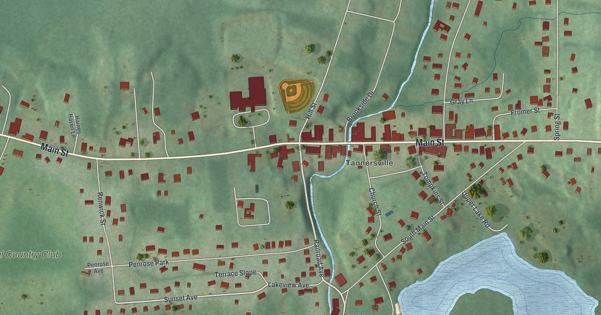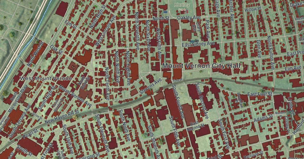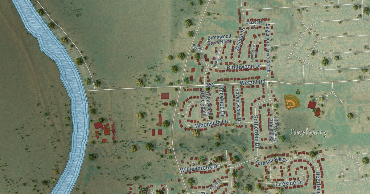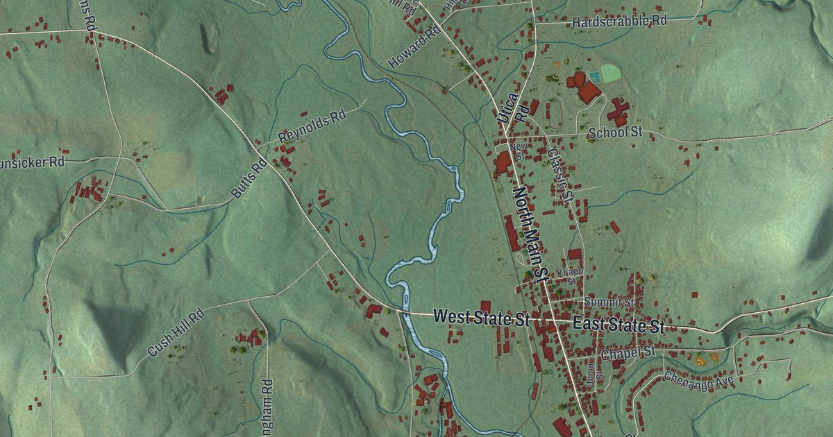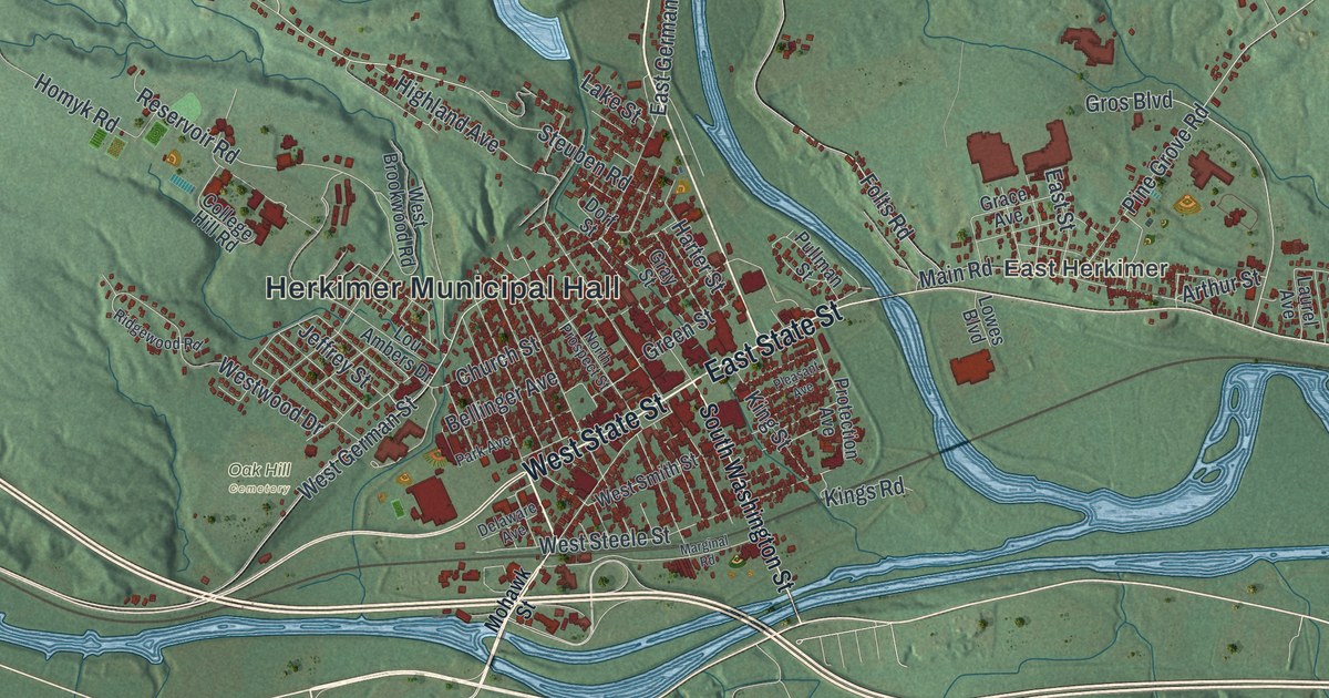
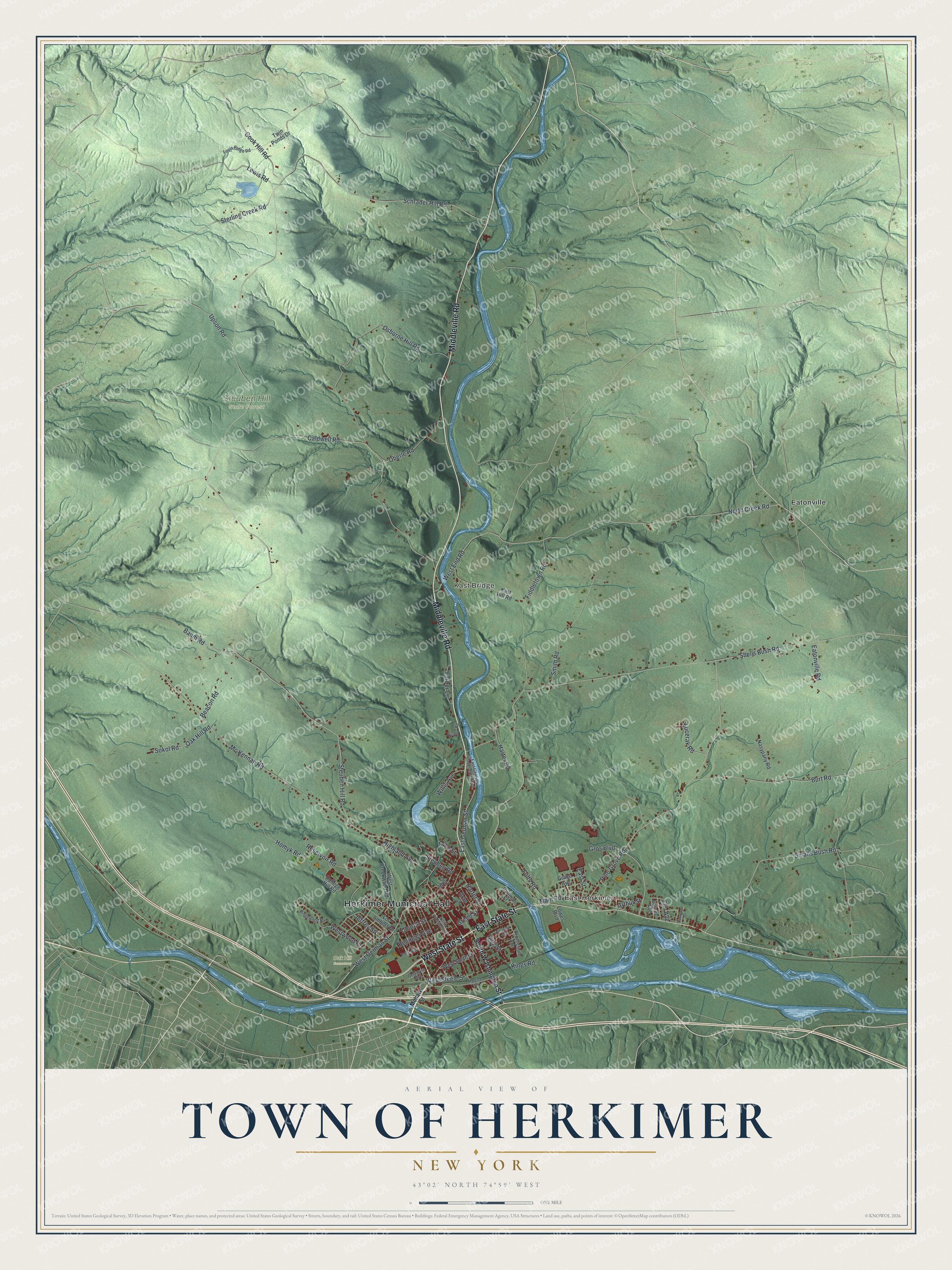
This beautifully detailed map of the Town of Herkimer, New York was created in 2026 using aerial imagery combined with modern topographical, census, street and landmark data. It’s a one-of-a-kind view of the Town of Herkimer that combines accurate data with a vintage aesthetic. The map shows every building in its true location, many of the roads carry their names, and the shaded topographic relief shows the shape of the land.
Explore an aerial view of the Town of Herkimer, New York
On the map you’ll find Herkimer Municipal Hall, East Herkimer, Kast Bridge, Eatonville, Oak Hill Cemetery, and Steuben Hill State Forest, along with Middleville Road, State Street, Washington Street, Mohawk Street, and more. If you look closely you can even find your house accurately drawn in its correct location. Zoom in on the preview to look for yours.
Did You Know?
Herkimer was first settled around 1722, mostly by German Palatine families. They called the spot Stone Ridge, and it is now the village of Herkimer. The town was incorporated in 1788 and named for Nicholas Herkimer. He was a militia captain who later fought in the Battle of Oriskany.
Take a closer look at the Town of Herkimer map
Names on this map
These names are printed on this map.
Places: Herkimer Municipal Hall, East Herkimer, Kast Bridge, Oak Hill Cemetery, Steuben Hill State Forest and Eatonville.
Streets and roads: Middleville Road, West State Street, East State Street, Upson Road, Steuben Hill Road, Steuben Road, Harter Street, Westwood Drive, West German Street, Osborne Hill Road, Shells Bush Road, Eatonville Road.
More street names, A to Z
Arthur Street, Baum Road, Beacon Road, Bellinger Avenue, Burt Road, Caldwell Road, Church Street, College Hill Road, Cook Hill Road, Delaware Avenue, Dorf Street, East German Street, East German Street Extended, East Street, Eastwood Drive, Elm Avenue, Farber Lane, Fiddletown Road, Folts Road, Grace Avenue, Gray Street, Green Street, Gros Boulevard, Harter Road, Highland Avenue, Homyk Road, Jeffrey Street, Kast Hill Road, Kings Road, King Street, Kucerak Road, Lake Street, Laurel Avenue, Lewis Road, Lou Ambers Drive, Louis Ridge Road, Lowes Boulevard, Main Road, Marginal Road, Mc Kennan Road, Mohawk Street, Nasypany Road, North Creek Road, North Prospect Street, Oak Hill Road, Oberle Road, Park Avenue, Pine Grove Road, Pleasant Avenue, Protection Avenue, Pullman Street, Quarry Road, Reservoir Road, Ridgewood Road, Schrader Hill Road, Smalls Bush Road, Smith Road, Sokol Road, South Washington Street, Sterling Creek Road, Twin Ponds Drive, West Brookwood Road, West End Road, West Smith Street, West Steele Street, Willis Avenue.
See it on a wall
The Herkimer map as a framed print. Swipe for more.


This beautifully detailed map of the Town of Herkimer makes an attractive addition to your office, library, or den, and it can even be used to teach children the geography and history of the area. It also makes a great gift for someone who left the Town of Herkimer and still calls it home. When you’re done exploring, click here to get your copy of the Town of Herkimer map.