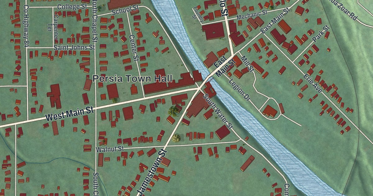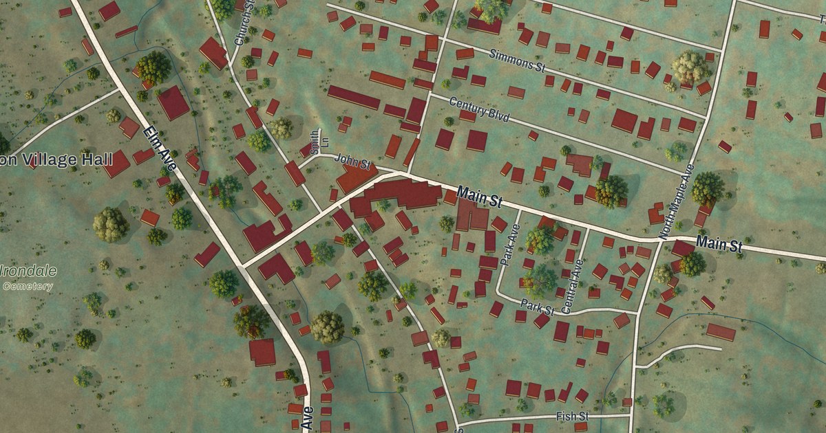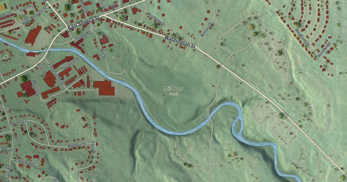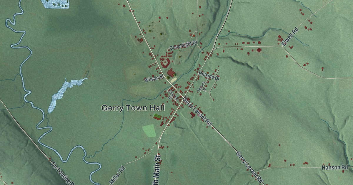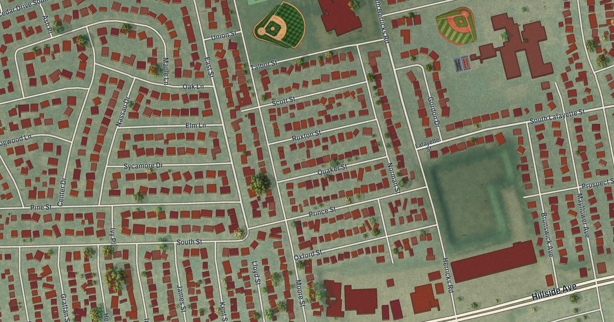
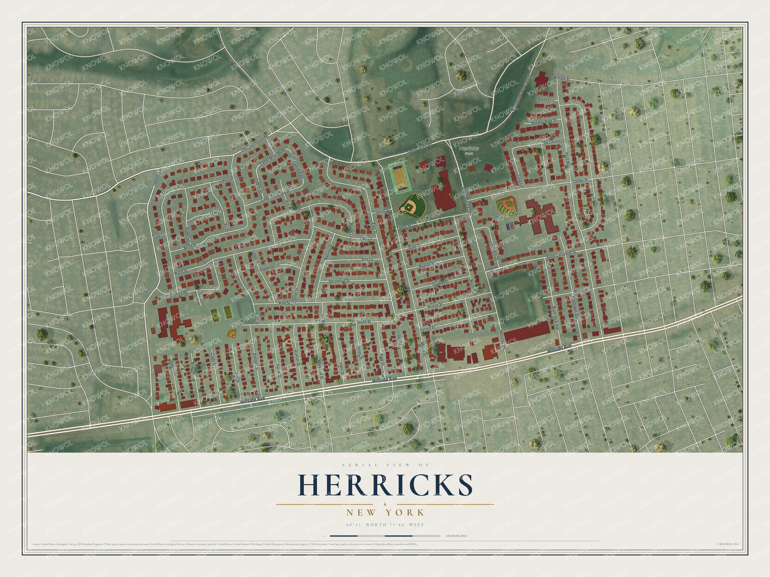
This beautifully detailed map of Herricks, New York was created in 2026 using aerial imagery combined with modern topographical, census, street and landmark data. It’s a one-of-a-kind view of Herricks that combines accurate data with a vintage aesthetic. The map shows every building in its true location, many of the roads carry their names, and the shaded topographic relief shows the shape of the land.
Explore an aerial view of Herricks, New York
On the map you’ll find Hillside Avenue, Shelter Rock Road, Old Courthouse Road, Denton Avenue, Herricks Road, and more. If you look closely you can even find your house accurately drawn in its correct location. Zoom in on the preview to look for yours.
Did You Know?
The hamlet takes its name from Herricks Path, a trail that crossed this ground as early as 1659. The local school opened in 1813, and few schools in Nassau County are older. By 1898 it was among the last one-room schools left in Queens County.
Take a closer look at the Herricks map
Names on this map
These names are printed on this map.
Places: Herricks Park.
Streets and roads: Hillside Avenue, Shelter Rock Road, Old Courthouse Road, Denton Avenue, South Herricks Road, South Lafayette Street, East Street, Cedar Drive North, Cedar Drive East, Foch Boulevard, Moore Street, Larch Drive.
More street names, A to Z
Allen Street, Ash Place, Aspen Lane, Birch Drive, Brian Street, Brunswick Avenue, Cedar Drive, Cedar Drive South, Center Drive, Center Street, Clyde Street, Clyde Street North, Dail Street, De Chiaro Lane, Dogwood Lane, Elm Lane, Emmett Street, Farrel Street, Fir Drive, Gordon Drive, Grattan Street, Herricks Road, Heywood Street, Hickory Road, Holiday Park Drive, Irwin Street, Ivy Place, James Street, Kent Street, Lafayette Street, Linden Street, Lipton Lane, Lloyd Street, Locust Lane, Maple Lane, Mayflower Avenue, Nassau Drive, Norman Street, North Street, Oak Lane, Olive Lane, Oxford Street, Pine Street, Prince Street, Prospect Street, Quaker Street, Ruxton Street, Scott Street, Searingtown Road South, South Street, Starfire Lane, Sycamore Drive, Talbot Street, Tulip Court, Tulip Lane, Union Street, West Street, William Street.
See it on a wall
The Herricks map as a framed print. Swipe for more.


This beautifully detailed map of Herricks makes an attractive addition to your office, library, or den, and it can even be used to teach children the geography and history of the area. It also makes a great gift for anyone with Herricks roots. When you’re done exploring, click here to get your copy of the Herricks map.