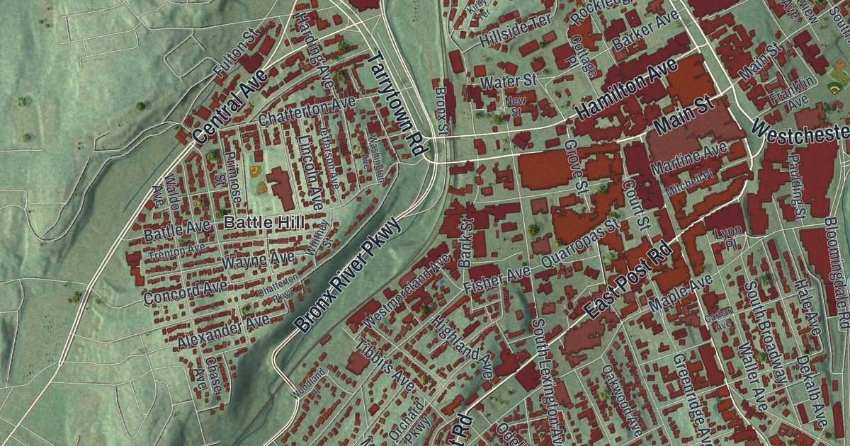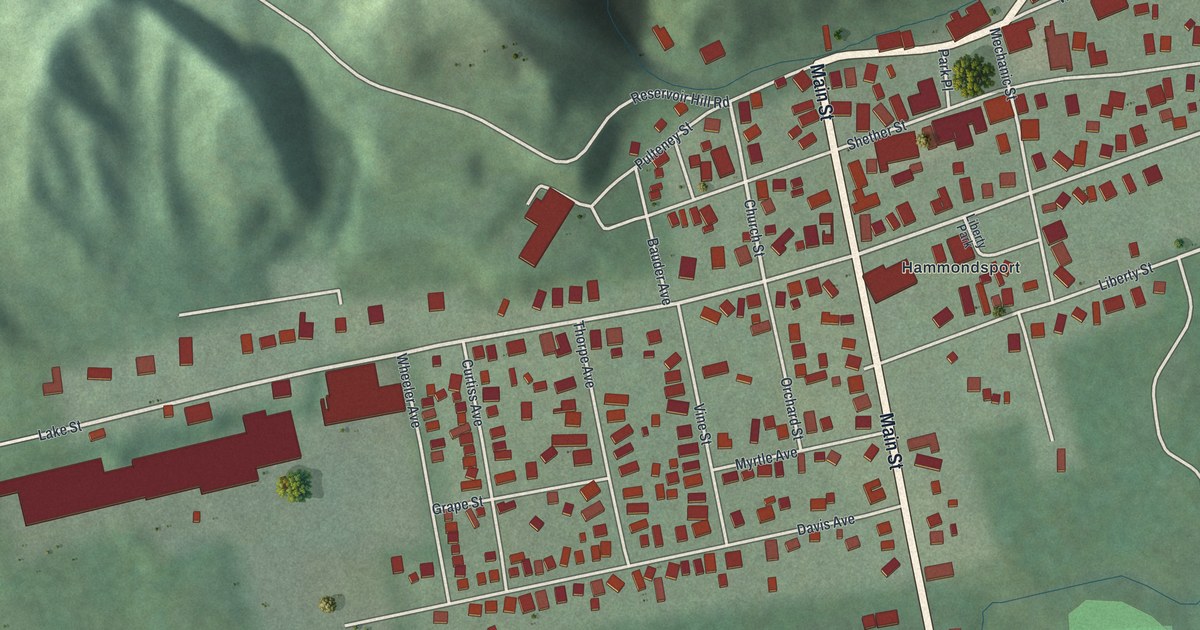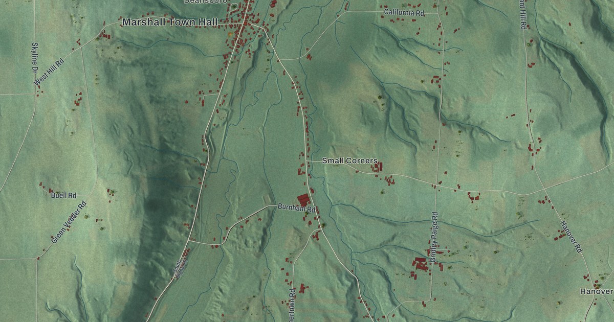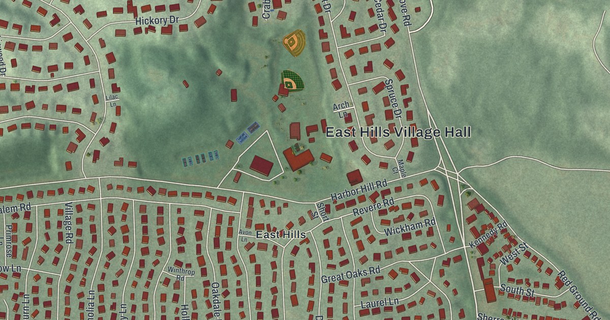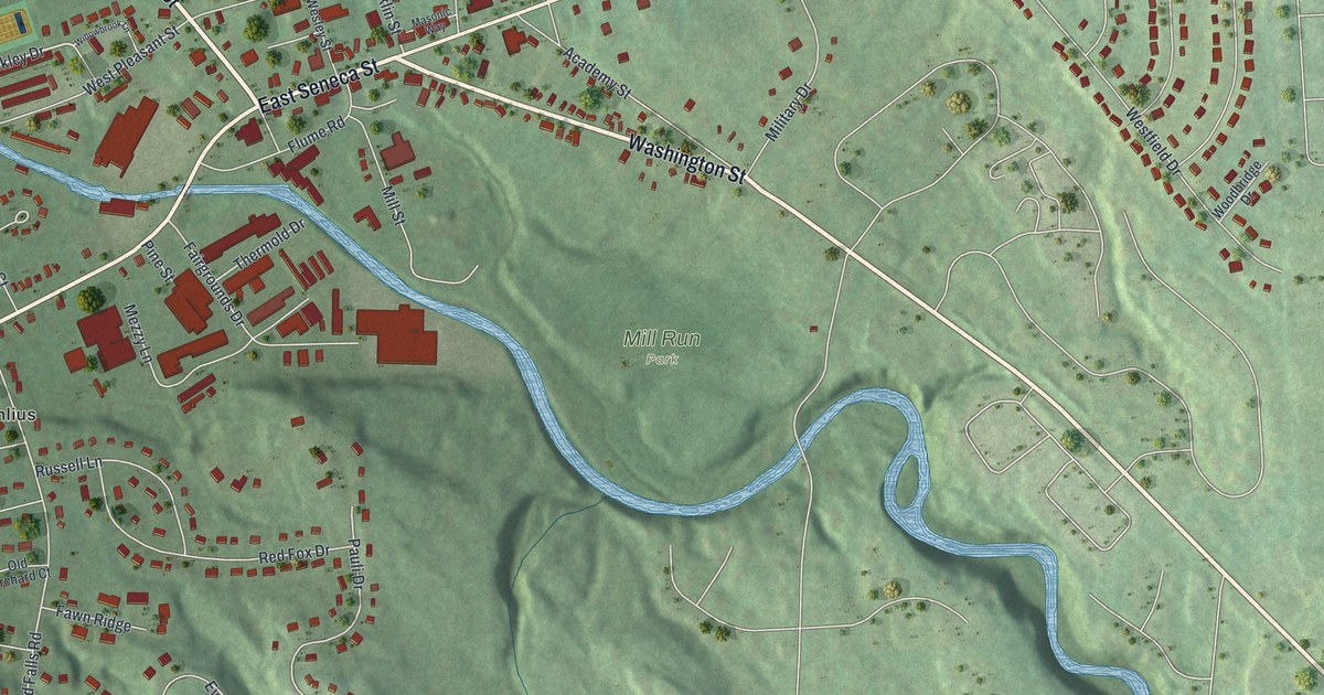
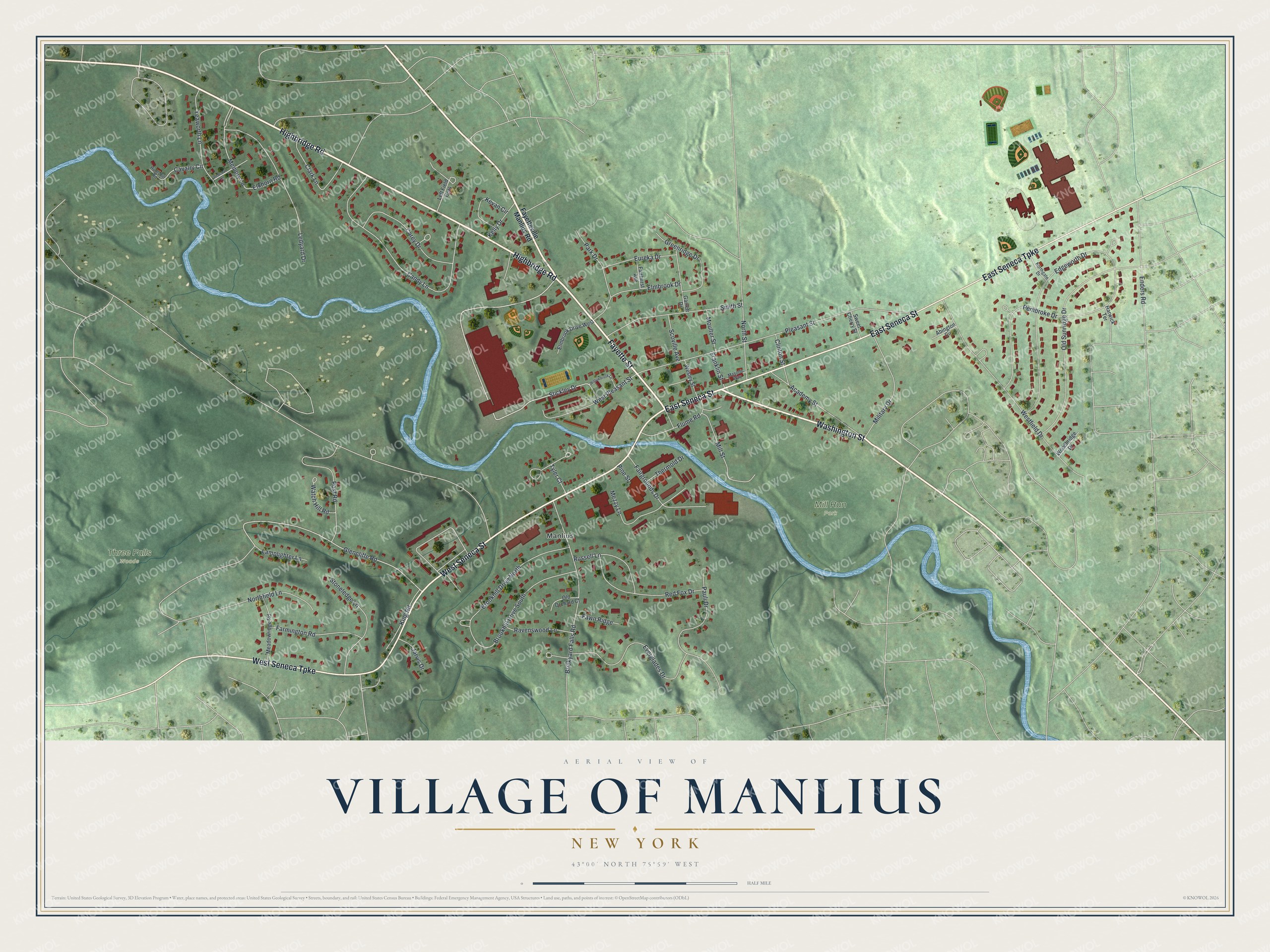
This beautifully detailed map of the Village of Manlius, New York was created in 2026 using aerial imagery combined with modern topographical, census, street and landmark data. It’s a one-of-a-kind view of the Village of Manlius that combines accurate data with a vintage aesthetic. The map shows every building in its true location, many of the roads carry their names, and the shaded topographic relief shows the shape of the land.
Explore an aerial view of the Village of Manlius, New York
On the map you’ll find Mill Run Park, along with Highbridge Road, Fayette Street, Seneca Street, Seneca Turnpike, Washington Street, and more. If you look closely you can even find your house accurately drawn in its correct location. Zoom in on the preview to look for yours.
Did You Know?
A German settler, John A. Shaeffer, settled the village in 1792. Its early post office was called Liberty Square, a name later changed to Manlius Square. In 1813 Manlius became Onondaga County’s first village. For twenty years it was the county’s biggest trading town, while Syracuse was still a swamp.
Take a closer look at the Village of Manlius map
Names on this map
These names are printed on this map.
Places: Mill Run Park, Three Falls Woods and Manlius.
Streets and roads: Highbridge Road, Fayette Street, West Seneca Street, East Seneca Street, West Seneca Turnpike, East Seneca Turnpike, Washington Street, Stickley Drive, Glencliffe Road, Cavalry Circle, Memory Lane, Pleasant Street.
More street names, A to Z
Abington Circle, Academy Street, Brickyard Falls Road, Brookhill Drive North, Brookhill Drive South, Candy Lane, Carey Drive, Clark Lane, Clinton Street, Edgeworth Drive, Elkhorn Road, Elmbrook Drive, Elmbrook Drive West, Enders Road, Eureka Drive, Everglades Drive, Fairgrounds Drive, Fairhurst Avenue, Farmington Road, Fawn Ridge, Fayetteville Manlius Road, Flume Road, Franklin Street, Garrett Drive, Greenridge Drive, Harwick Terrace, Huntshill Road, Jarvis Drive, Kelly Drive, Kevan Circle, King Road, Lamplighter Lane, Ledyard Drive, Left Field Cors, Masonic Way, Meadowridge Road, Mezzy Lane, Military Drive, Mill Street, Moulter Street, Northfield Lane, Northgate Drive, North Street, Old Orchard Court, Old Sunridge Drive, Park Drive, Pauli Drive, Pembroke Drive, Pine Street, Post Road, Ravenswood Lane, Redcoat Lane, Red Fox Drive, Russell Lane, Scoville Avenue, Smith Street, Stoneledge Lane, Sweet Cherry Street, Thermold Drive, Tyler Court, Watch Hill Road, Wesley Street, Westfield Drive, West Pleasant Street, Willowbrook Lane, Woodbridge Drive, Yeaworth Lane.
See it on a wall
The Manlius map as a framed print. Swipe for more.


This beautifully detailed map of the Village of Manlius makes an attractive addition to your office, library, or den, and it can even be used to teach children the geography and history of the area. It also makes a great gift for anyone who grew up in the Village of Manlius or moved away. When you’re done exploring, click here to get your copy of the Village of Manlius map.