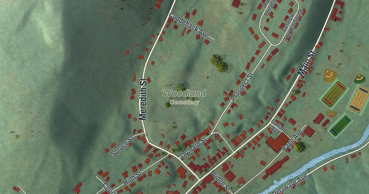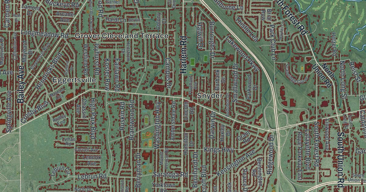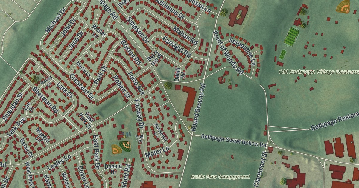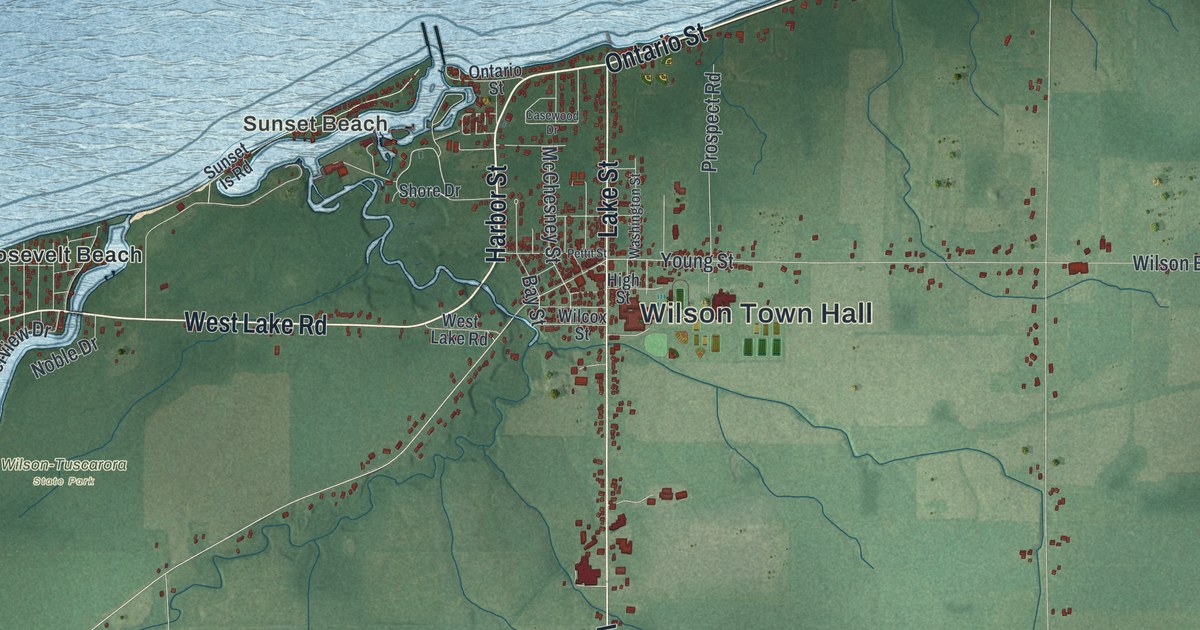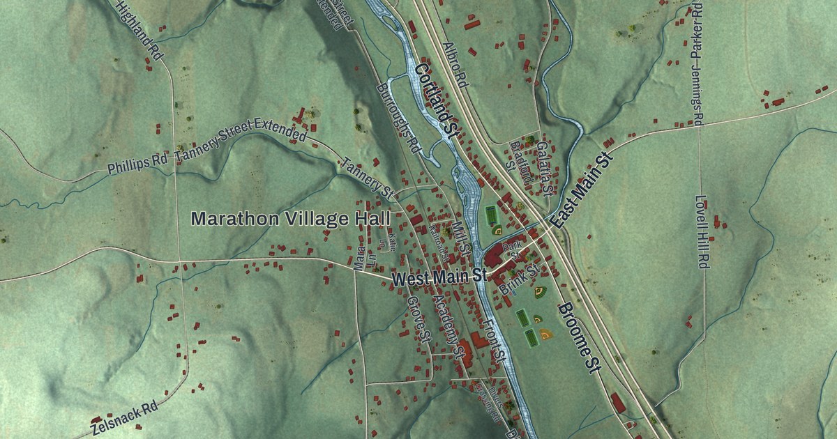
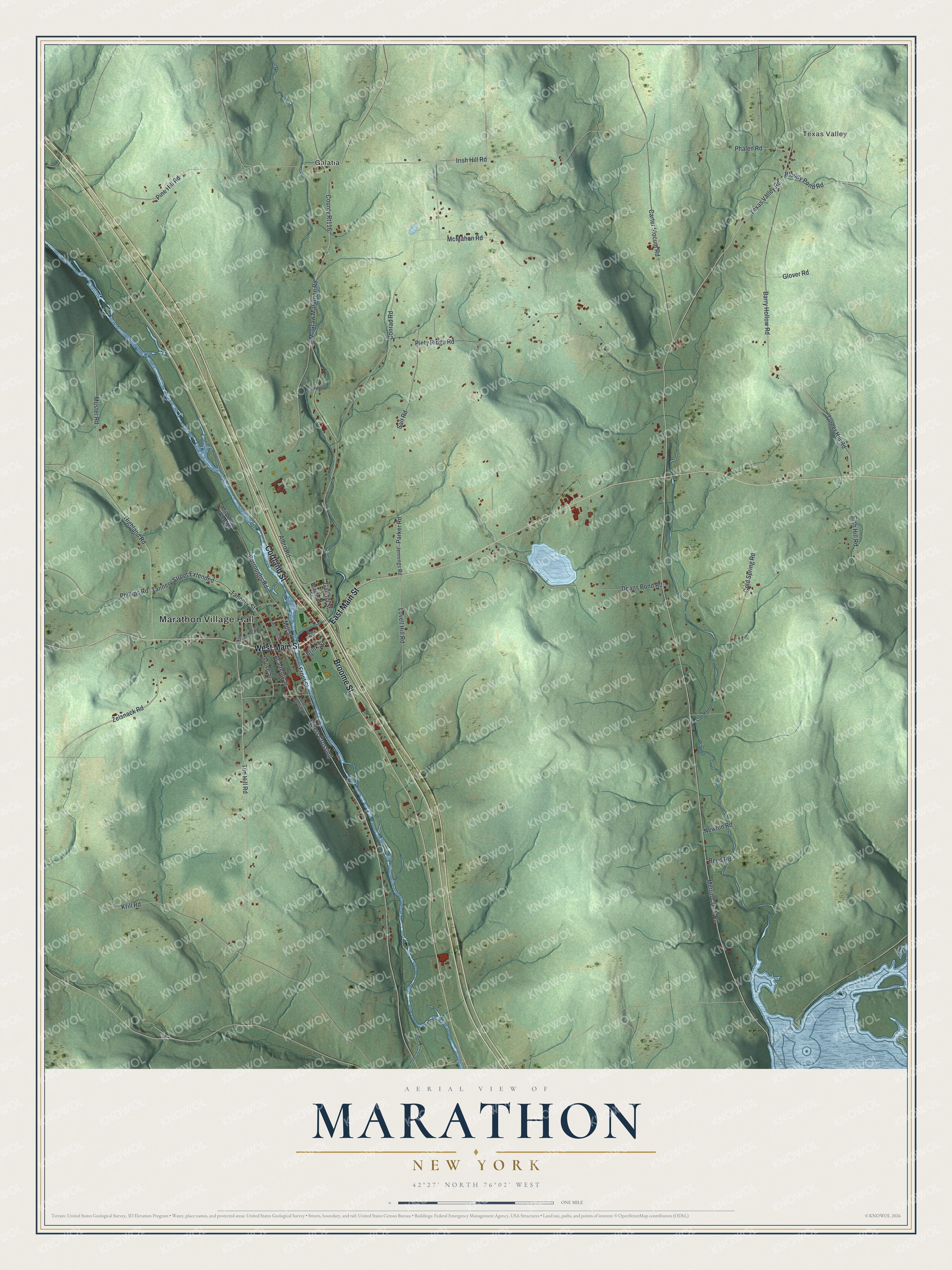
This beautifully detailed map of Marathon, New York was created in 2026 using aerial imagery combined with modern topographical, census, street and landmark data. It’s a one-of-a-kind view of Marathon that combines accurate data with a vintage aesthetic. The map shows every building in its true location, many of the roads carry their names, and the shaded topographic relief shows the shape of the land.
Explore an aerial view of Marathon, New York
On the map you’ll find Marathon Village Hall, Texas Valley, and Galatia, along with Main Street, Cortland Street, Broome Street, Tim Hill Road, and more. If you look closely you can even find your house accurately drawn in its correct location. Zoom in on the preview to look for yours.
Did You Know?
The first settlers came to Marathon in 1794. The town was formed in 1818 from part of Cincinnatus under the name Harrison. Another New York town already used that name. So the town took a new one, honoring the ancient Battle of Marathon.
Take a closer look at the Marathon map
Names on this map
These names are printed on this map.
Places: Marathon Village Hall, Texas Valley and Galatia.
Streets and roads: West Main Street, Cortland Street, Broome Street, East Main Street, Tim Hill Road, Tannery Street Extended, Texas Valley Road, Merrill Creek Road, Muster Road, Highland Road, Tannery Street, Divers Crossing.
More street names, A to Z
Academy Street, Albro Road, Barry Hollow Road, Bloody Pond Road, Bradford Street, Brink Street, Burroughs Road, Carter Slocum Road, Cold Spring Road, Conrad Road, County Rt116, Deans Pond Road, Divers Crossing Road, Fish Hill Road, Front Street, Galatia Street, Glover Road, Grove Street, Irish Hill Road, Jennings Road, Katie Lane, Krill Road, Lovell Hill Road, Mara Lane, McGraw Marathon Road, McMahon Road, Mill Street, Mill Street Extended, Newlon Road, Parker Road, Park Street, Phalen Road, Phillips Road, Piety Ridge Road, Pine Hill Road, Railroad Street, Reed Road, Salt Road, Turner Hill Road, Zelsnack Road.
See it on a wall
The Marathon map as a framed print. Swipe for more.


This beautifully detailed map of Marathon makes an attractive addition to your office, library, or den, and it can even be used to teach children the geography and history of the area. It also makes a great gift for anyone with Marathon roots. When you’re done exploring, click here to get your copy of the Marathon map.