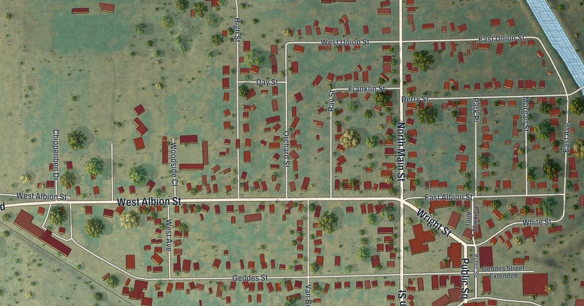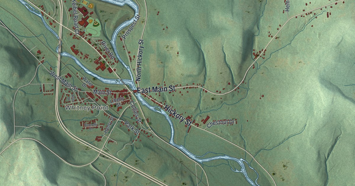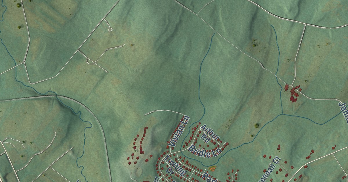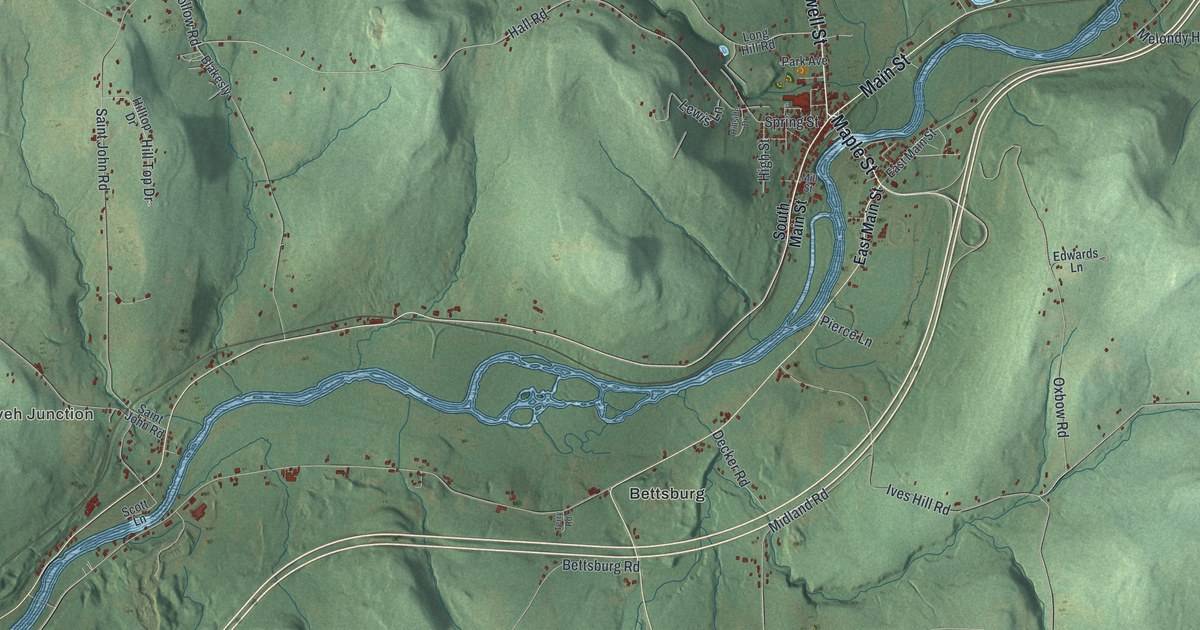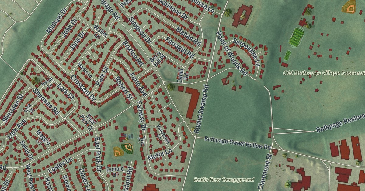
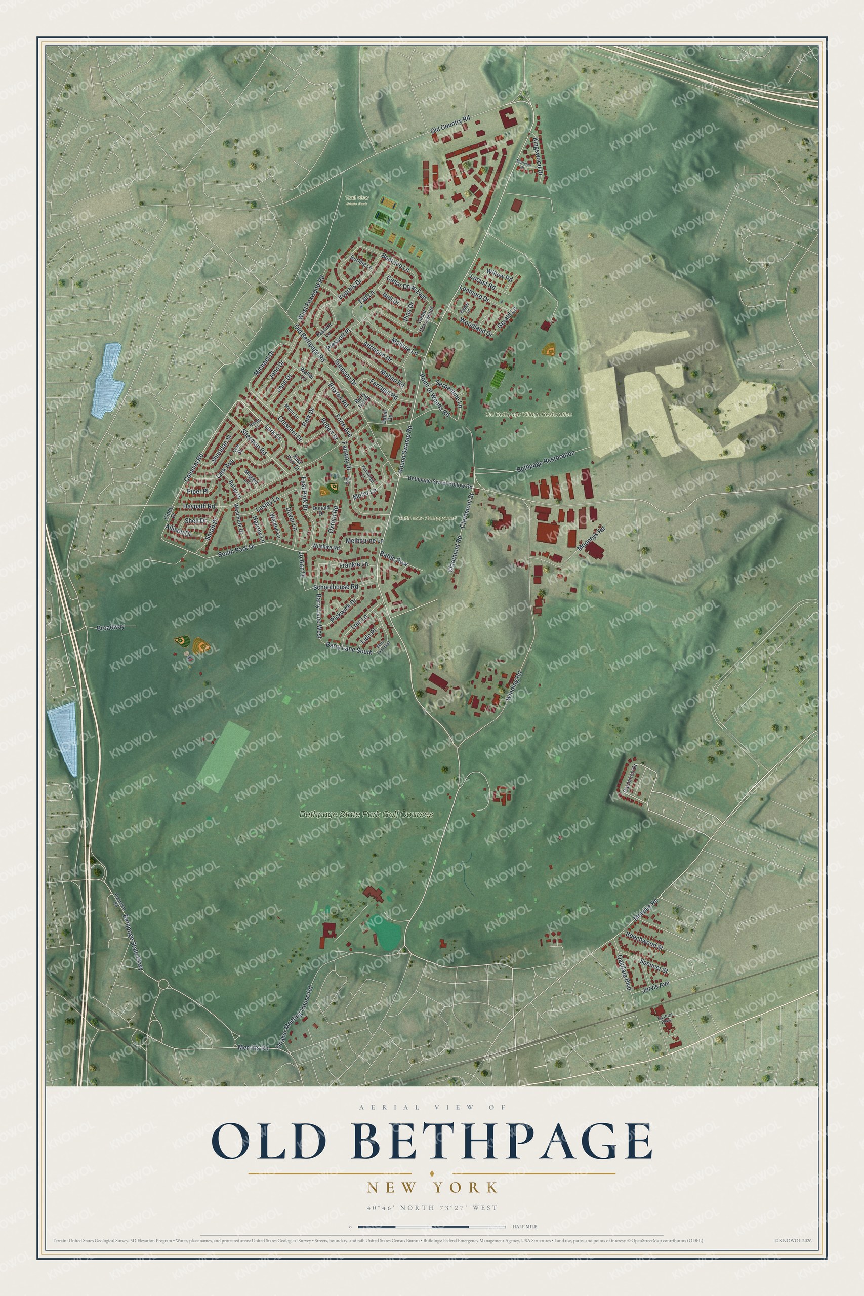
This beautifully detailed map of Old Bethpage, New York was created in 2026 using aerial imagery combined with modern topographical, census, street and landmark data. It’s a one-of-a-kind view of Old Bethpage that combines accurate data with a vintage aesthetic. The map shows every building in its true location, many of the roads carry their names, and the shaded topographic relief shows the shape of the land.
Explore an aerial view of Old Bethpage, New York
On the map you’ll find Trail View State Park, along with Round Swamp Road, Old Country Road, Colonial Road, Lark Court, Melville Road, and more. If you look closely you can even find your house accurately drawn in its correct location. Zoom in on the preview to look for yours.
Did You Know?
This hamlet was the original Bethpage. In 1936 its neighbor, Central Park, renamed itself Bethpage. The older village refused to merge with the newcomer. It won post office approval to call itself Old Bethpage, though it had no post office of its own until 1965.
Take a closer look at the Old Bethpage map
Names on this map
These names are printed on this map.
Places: Battle Row Campground, Old Bethpage Village Restoration, Trail View State Park and Bethpage State Park Golf Courses.
Streets and roads: Round Swamp Road, Old Country Road, Colonial Road, Lark Court, Melville Road, Winding Road, South Park Drive, East Park Drive, Barry Lane South, Haypath Road, Quaker Meeting House Road, Old Bethpage Road.
More street names, A to Z
Adrienne Drive, Allison Drive, Barry Lane East, Barry Lane West, Battle Row, Beatrice Lane, Beechwood Street, Belair Drive, Berry Hill Place, Bethpage-Sweet Hollow Road, Bethpage Restoration, Bethpage State Parkway, Brixton Road, Broadway, Burling Lane, Carnation Drive, Cedar Drive East, Cedar Drive South, Cindy Drive, Claremont Road, Claremont Street, Crescent Drive, Dahill Road, Donald Drive, Dover Lane, Eastern Parkway, East Park Court, Fairway Drive, Farragut Road, Forte Avenue, Frankie Lane, Gerald Lane, Harrow Lane, Haven Lane, Isabel Lane, Jane Drive, Jervis Avenue, Jo Ann Drive, John Drive, Kingswood Drive, Lark Avenue, Lee Place, Lenmore Drive, Lesley Lane, Lido Place, Locust Road, Lois Lane, Maggio Lane, Mahan Road, Martin Lane, Melbourne Lane, Melissa Lane, Merritts Road, Michael Drive, Mooneys Road, Morrison Drive, Motor Lane, Neil Drive, Oakdale Boulevard, Oxford Road, Park Drive, Pasture Lane, Pickwick Drive, Pine Drive, Piper Place, Plainview Road, Point of Woods Road, Prescott Place, Robert Street, Sarah Drive, Schoolhouse Road, Serpentine Lane, Sheli Drive, Sheridan Street, Sherman Road, Simpson Drive, Spencer Street, Tad Lane, Toll Place, Vanderbilt Lane, Voorhis Drive, Walter Lane, Weldon Lane, West Foxwood Road, West Park Drive, Willow Road, Wilshire Road, Woodland Drive.
See it on a wall
The Old Bethpage map as a framed print. Swipe for more.


This beautifully detailed map of Old Bethpage makes an attractive addition to your office, library, or den, and it can even be used to teach children the geography and history of the area. It also makes a great gift for someone who left Old Bethpage and still calls it home. When you’re done exploring, click here to get your copy of the Old Bethpage map.