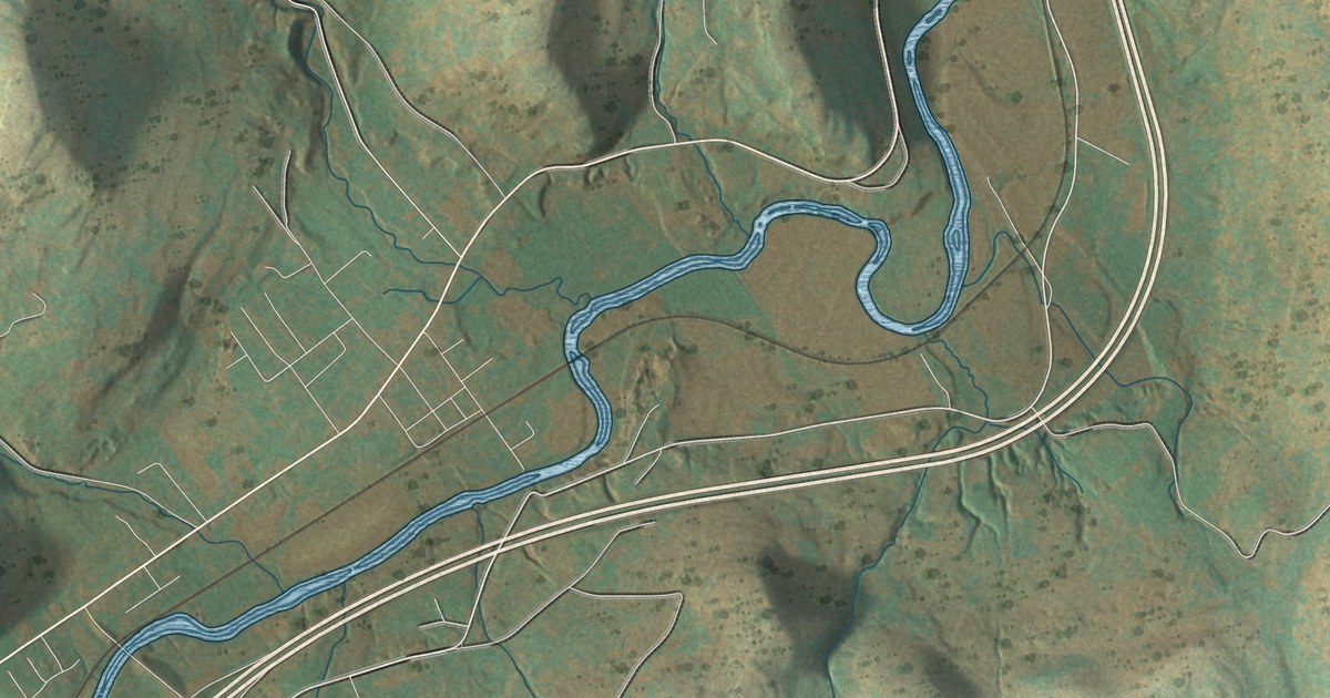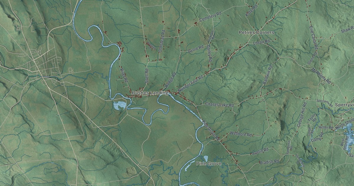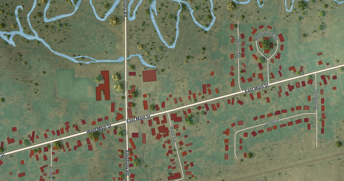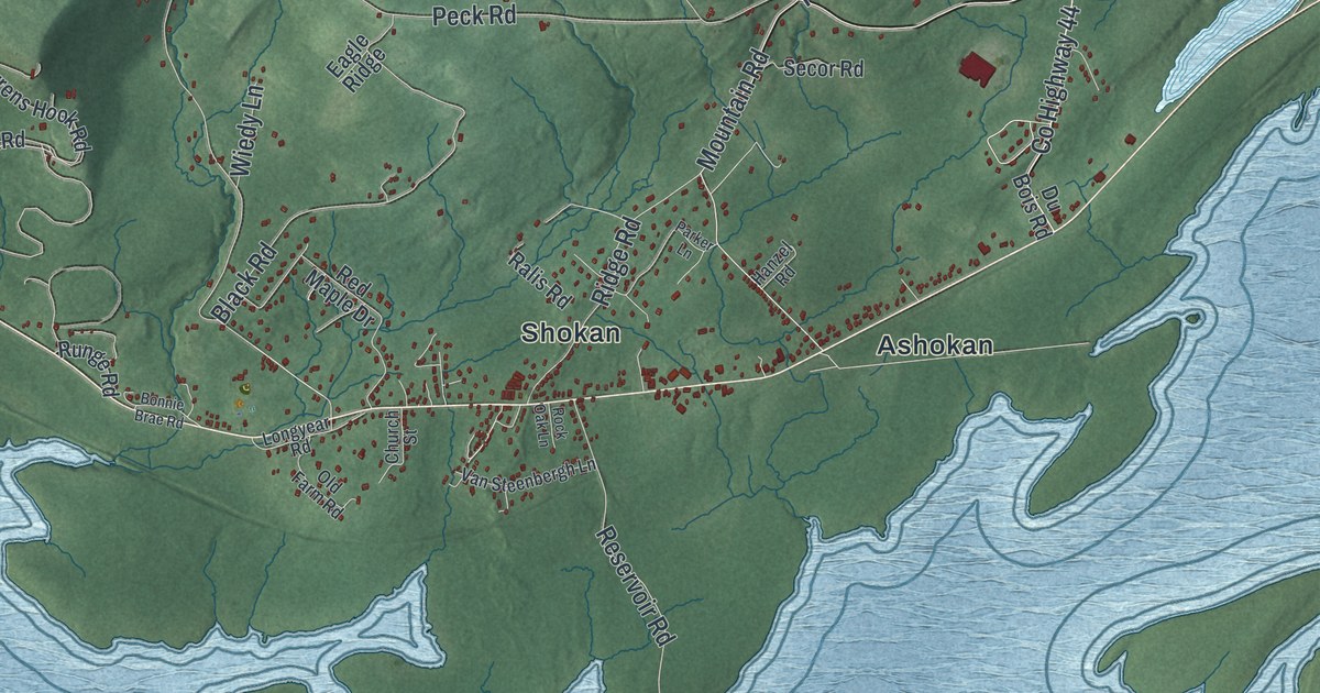
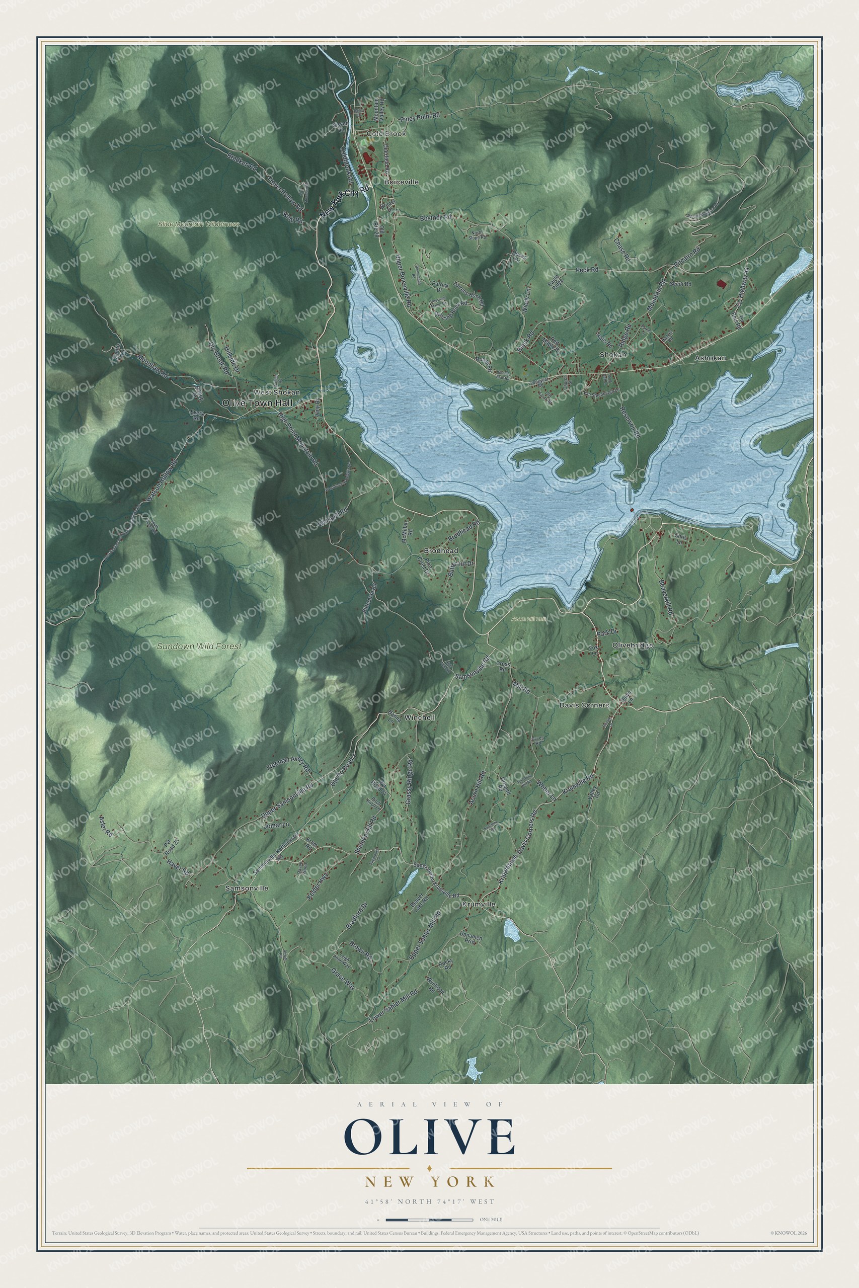
This beautifully detailed map of Olive, New York was created in 2026 using aerial imagery combined with modern topographical, census, street and landmark data. It’s a one-of-a-kind view of Olive that combines accurate data with a vintage aesthetic. The map shows every building in its true location, many of the roads carry their names, and the shaded topographic relief shows the shape of the land.
Explore an aerial view of Olive, New York
On the map you’ll find Olive Town Hall, Cold Brook, Ashokan, Boiceville, Brodhead, Davis Corners, and Sundown Wild Forest, along with New York City Road, Krumville Road, Watson Hollow Road, Kripplebush-Davis Corners Road, and more. If you look closely you can even find your house accurately drawn in its correct location. Zoom in on the preview to look for yours.
Did You Know?
Olive was created on April 15, 1823, from parts of Hurley, Marbletown and Shandaken. Its name came from a Bible verse. In it, Noah’s dove returned to the ark with an olive leaf in its mouth. In 1917 the Ashokan Reservoir covered several of the town’s communities.
Take a closer look at the Olive map
Names on this map
These names are printed on this map.
Places: Olive Town Hall, Cold Brook, Acorn Hill Unit, Slide Mountain Wilderness, Sundown Wild Forest, Ashokan, Boiceville, Brodhead, Davis Corners, Krumville, Olivebridge, Samsonville, Shokan, West Shokan and Winchell.
Streets and roads: New York City Road, Krumville Road, Old County Road 3, Watson Hollow Road, Kripplebush-Davis Corners Road, Samsonville Road, County Highway 44, Pitcairn Road, Piney Point Road, High Point Mountain Road, Bostock Road, Acorn Hill Road.
More street names, A to Z
Aster Road, Bailey Drive, Beaverkill Road, Beaver Lake Road, Birch Knoll Lane, Bitterman Road, Black Road, Bonnie Brae Road, Bradford Drive, Bradken Road, Brodhead Road, Brown Road, Brunel Drive, Burgher Road, Butternut Drive, Chase Road, Chris Lane, Church Street, Coldbrook Road, Crispell Road, Cross Road, Crosswell Manor Drive, Dancing Rock Road, Deerfield Road, Deseo Drive, Dewitt Road, Down Lane, Dry Brook Road, Du Bois Road, Eagle Ridge, Every Road, Fox Lane, Freeman Avery Road, Grace Way, Grassy Ridge Road, Gyves Road, Hanna Lane, Hanzel Road, Haver Road, High Point Road, Hillside Drive, Hilltop Drive, Jomar Lane, Kelder Highway, Kolb Road, Krom Road, Lang Road, Leigh Anne Way, Longyear Road, Lower Sahler Mill Road, McMillan Road, Mill Road, Moonhaw Road, Mountain Road, Mountain Valley Road, Nissen Lane, North Slope Road, Old Farm Road, Old Route 28, Park Drive, Parker Lane, Patrick Drive, Peck Road, Pine Crest Drive, Pitcairn Mountain Road, Private Lane, Pvt Road 24, Pvt Road 25, Ralis Road, Raven Wood, Red Maple Drive, Remontado Road, Reservoir Road, Ridge Road, Rock Oak Lane, Rocky Road, Runge Road, Samsonville-Kerhonkson Road, Samsonville-Krumville Road, Secor Road, Sheldon Hill Road, Shultis Lane, South Hollow Road, Sugarbush Lane, Sun Mountain Road, Sunstone Road, Ton Gone Kill Road, Torrens Hook Road, Traver Hollow Road, Unnamed Prrd, Upper Boiceville Road, Upper Sahler Mill Road, Upper Samsonville Road, Valley Road, Van Steenbergh Lane, Weber Lane, West Shokan-Peekamoose-Sundown Road, West Shokan Heights Road, Whispell Road, Wiedy Lane, Wynkoop Road.
See it on a wall
The Olive map as a framed print. Swipe for more.


This beautifully detailed map of Olive makes an attractive addition to your office, library, or den, and it can even be used to teach children the geography and history of the area. It also makes a great gift for anyone who grew up in Olive or moved away. When you’re done exploring, click here to get your copy of the Olive map.