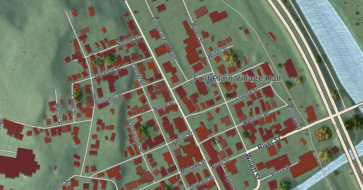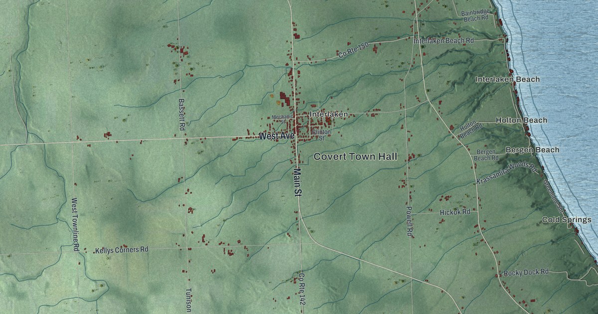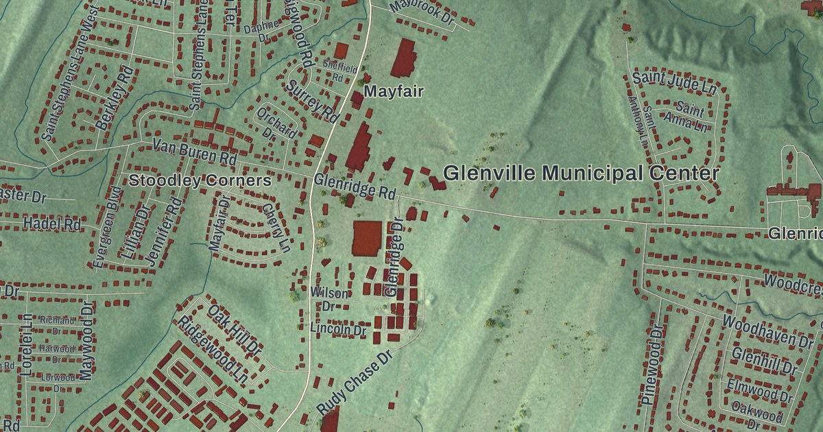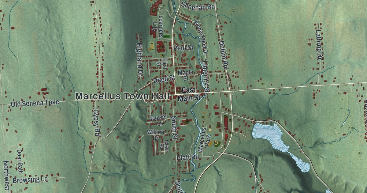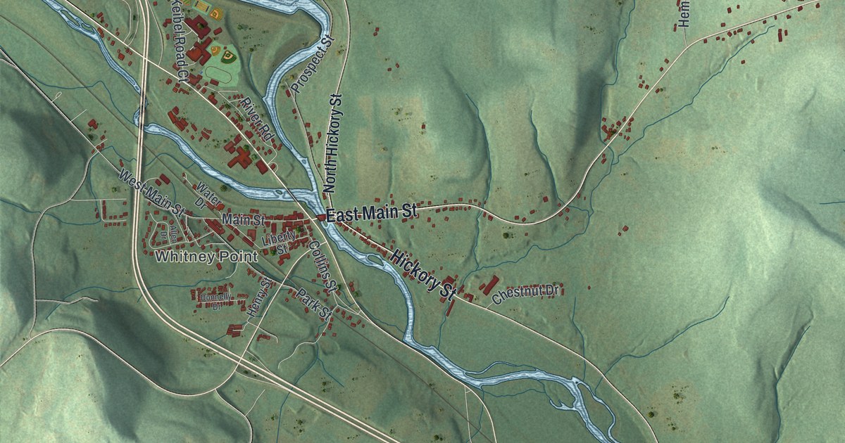
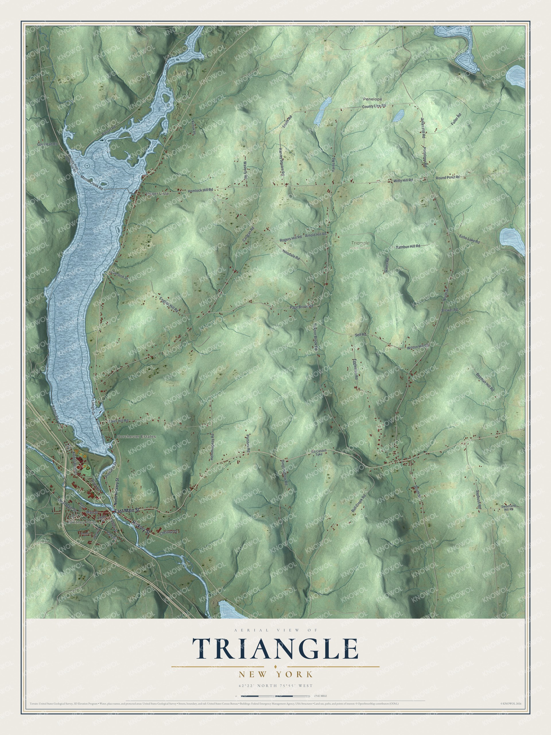
This beautifully detailed map of Triangle, New York was created in 2026 using aerial imagery combined with modern topographical, census, street and landmark data. It’s a one-of-a-kind view of Triangle that combines accurate data with a vintage aesthetic. The map shows every building in its true location, many of the roads carry their names, and the shaded topographic relief shows the shape of the land.
Explore an aerial view of Triangle, New York
On the map you’ll find Whitney Point, Penelope, and Upper Lisle, along with Hickory Street, Main Street, Page Brook Road, Carigan Road, Arnold Hill Road, and more. If you look closely you can even find your house accurately drawn in its correct location. Zoom in on the preview to look for yours.
Did You Know?
Settlers first came to this corner of Broome County around 1791. The area was long known as the Chenango Triangle. When it split from the town of Lisle in 1831, it kept the name Triangle. Whitney Point became a village inside the town in 1871.
Take a closer look at the Triangle map
Names on this map
These names are printed on this map.
Places: Whitney Point, Penelope, Dorchester Estates, Triangle State Forest and Upper Lisle.
Streets and roads: Hickory Street, East Main Street, Page Brook Road, Carigan Road, Arnold Hill Road, Hemlock Hill Road, Merrill Creek Road, Witty Hill Road, Rathbun Hill Road, Rogers Hill Road, Round Pond Road, County Line Road.
More street names, A to Z
Allen Drive, Basset Road, Beeman Hill Road, Brewer Road, Bull Creek Road, Chestnut Drive, Collins Street, Dings Hollow Road, Donnelly Drive, Echo Lake Road, Eggleston Road, English Hill Road, Fuller Road, Gates Road, Gay Head Road, Harvey Square Road, Hemmingway Road, Henry Street, Hinsdale Road, Julian Hill Road, Kales Hill Road, Keibel Road, Keibel Road Court, Kemak Road, Kloda Road, Lhhigh Drive, Liberty Street, Main Street, North Hickory Street, North Street, Old Catskill Turnpike, Overlook Drive, Park Street, Parsons Road, Penelope Road, Prospect Street, River Road, Sapbush Road, Self Road, Smith Road, South Street, Sweetland Hill Road, Ticknor Brook Road, Water Drive, Waverly Road, West Main Street, Whitney Point Upper Lisle Road, Wilson Hill Road, Yarns Road.
See it on a wall
The Triangle map as a framed print. Swipe for more.


This beautifully detailed map of Triangle makes an attractive addition to your office, library, or den, and it can even be used to teach children the geography and history of the area. It also makes a great gift for someone who left Triangle and still calls it home. When you’re done exploring, click here to get your copy of the Triangle map.