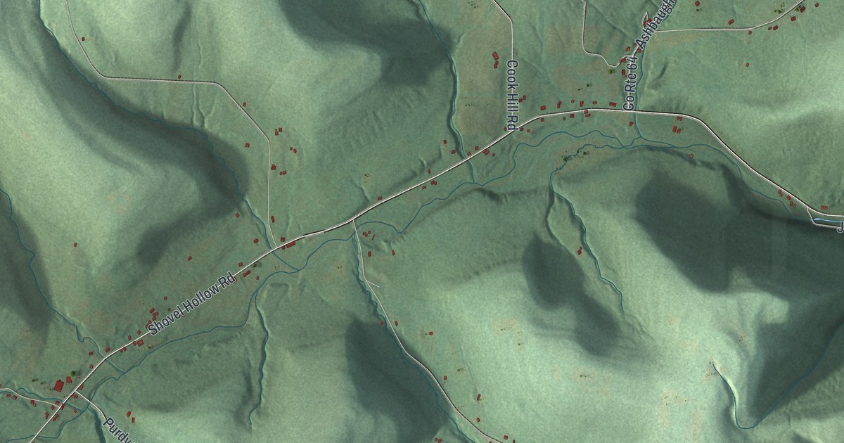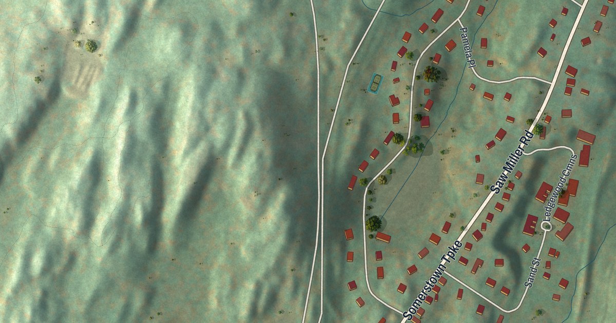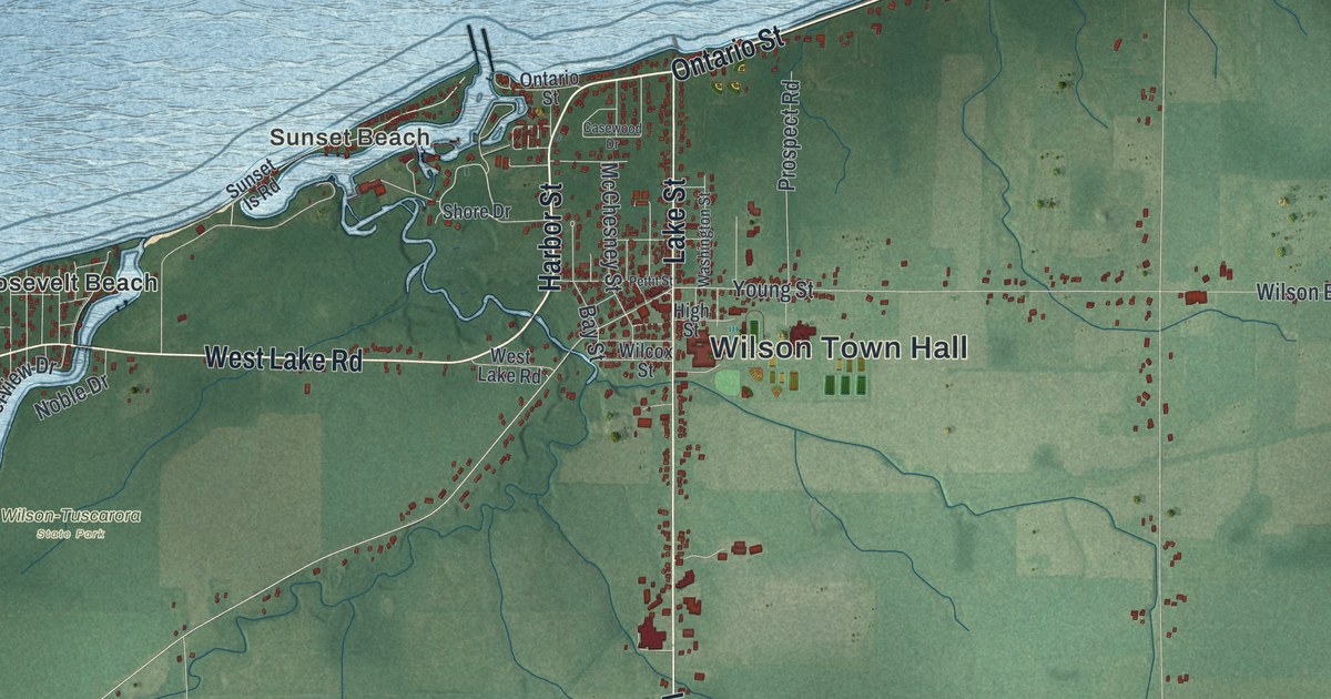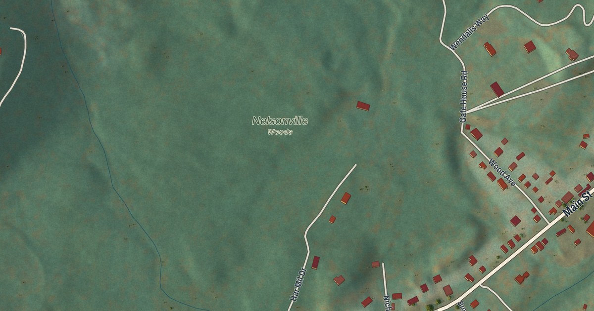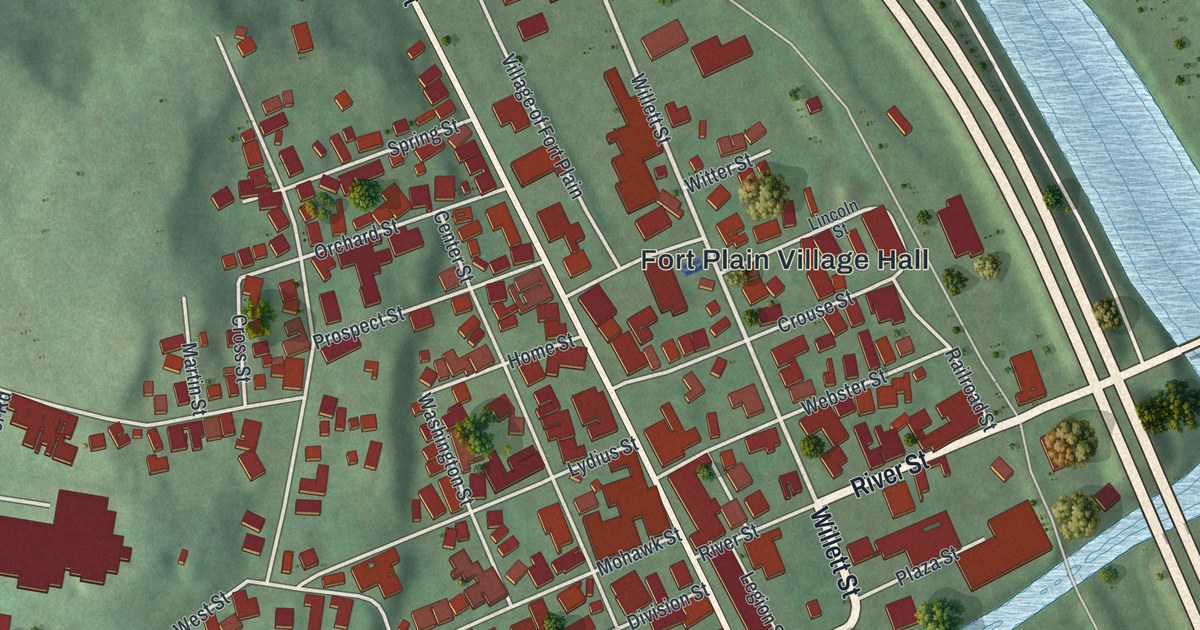
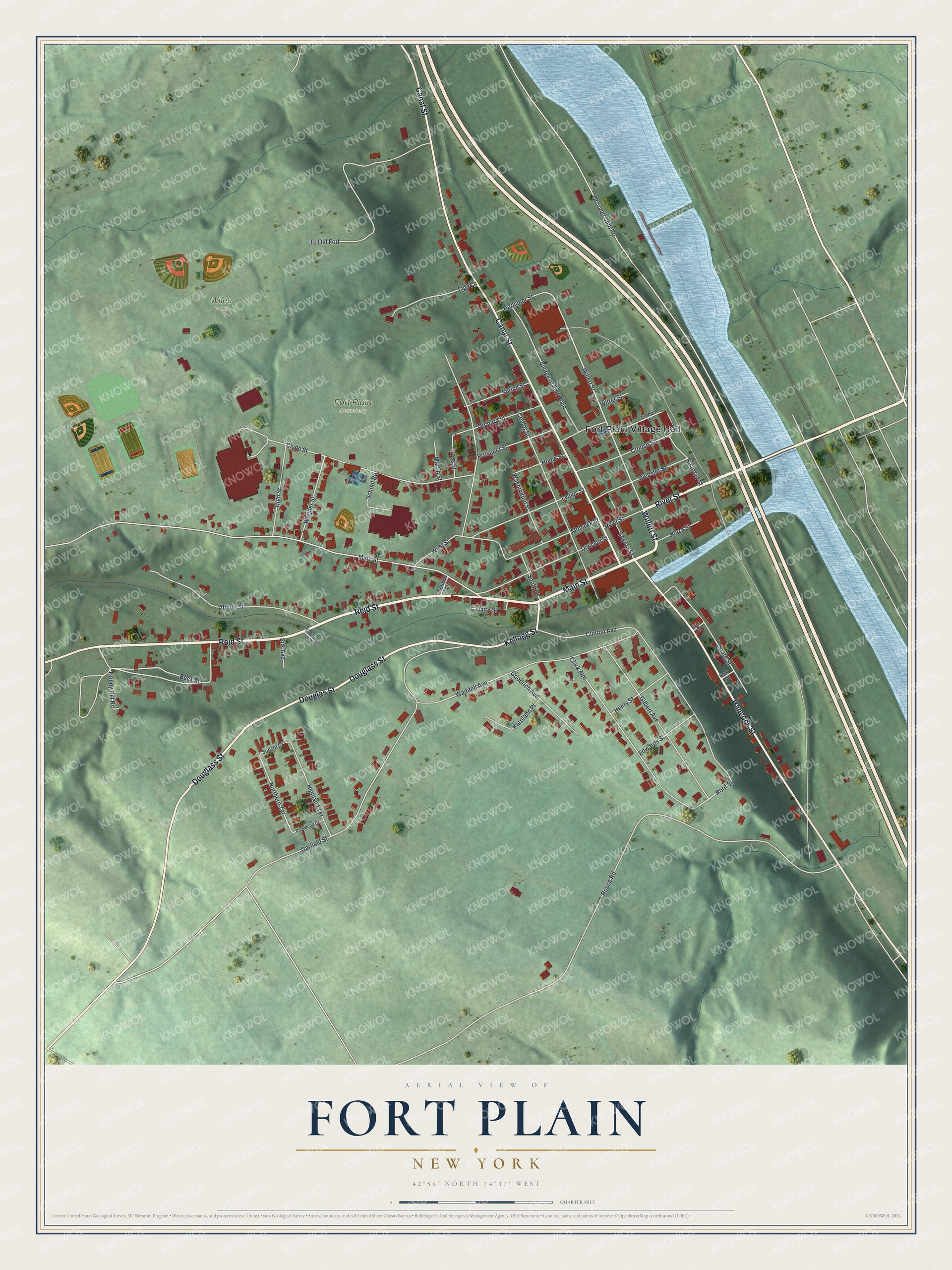
This beautifully detailed map of Fort Plain, New York was created in 2026 using aerial imagery combined with modern topographical, census, street and landmark data. It’s a one-of-a-kind view of Fort Plain that combines accurate data with a vintage aesthetic. The map shows every building in its true location, many of the roads carry their names, and the shaded topographic relief shows the shape of the land.
Explore an aerial view of Fort Plain, New York
On the map you’ll find Fort Plain Village Hall and Wiles Park, along with Main Street, Willett Street, River Street, Reid Street, and more. If you look closely you can even find your house accurately drawn in its correct location. Zoom in on the preview to look for yours.
Did You Know?
The village took its name from a fort built in 1776 during the American Revolution. A blockhouse there held soldiers for the whole war. With many local men away fighting, women dressed as men guarded the fort. They fought off the attacks.
Take a closer look at the Fort Plain map
Names on this map
These names are printed on this map.
Places: Fort Plain Village Hall, Fort Plain Cemetery and Wiles Park.
Streets and roads: Main Street, Willett Street, River Street, Reid Street, Douglass Street, Canal Street, Hancock Street, Douglas Street, Kellogg Street, Beck Street, Northern Terrace, Roof Street.
More street names, A to Z
Abbott Street, Center Street, Clark Avenue, Clinton Avenue, Clyde Street, Coitung Road, Conklin Lane, Cross Street, Crouse Street, Dairy Street, Division Street, Edwards Street, Erie Street, Garfield Street, Gilbert Avenue, Goodrich Avenue, Henry Street, Herkimer Street, Highland Terrace, High Street, Home Street, Honey Hill Road, Karolann Place, Legion Street, Lincoln Street, Lipe Lane, Lydius Street, Martin Street, Mohawk Street, Oak Street, Orchard Street, Otsuago Club Road, Parkwood Drive, Plaza Street, Prospect Street, Railroad Street, Rouse Road, School Road, Silk Avenue, South Street, Spring Street, State Street, Sunset Drive, To Old Fort, Village of Fort Plain, Waddell Avenue, Wagner Street, Washington Street, Webster Street, West Street, Witter Street.
See it on a wall
The Fort Plain map as a framed print. Swipe for more.


This beautifully detailed map of Fort Plain makes an attractive addition to your office, library, or den, and it can even be used to teach children the geography and history of the area. It also makes a great gift for anyone with Fort Plain roots. When you’re done exploring, click here to get your copy of the Fort Plain map.