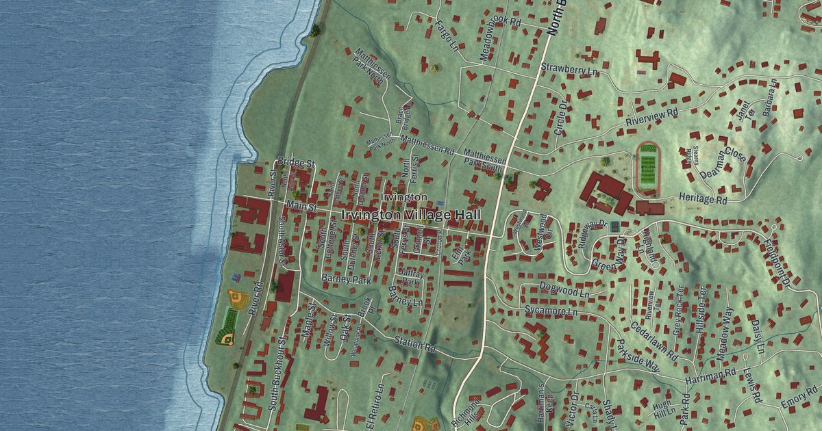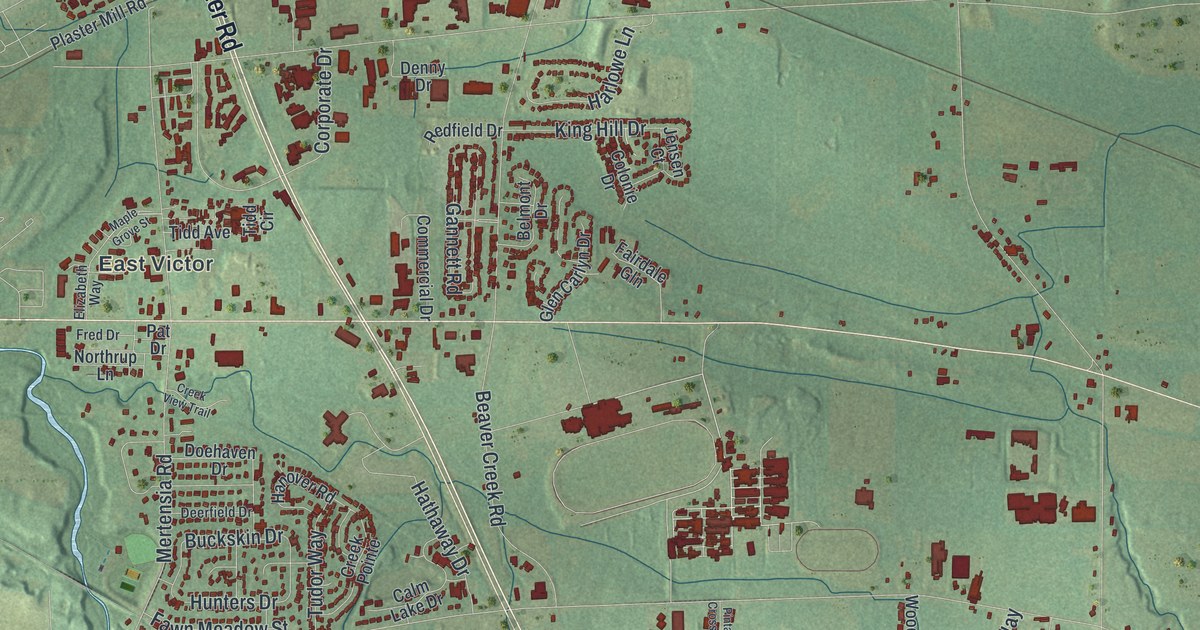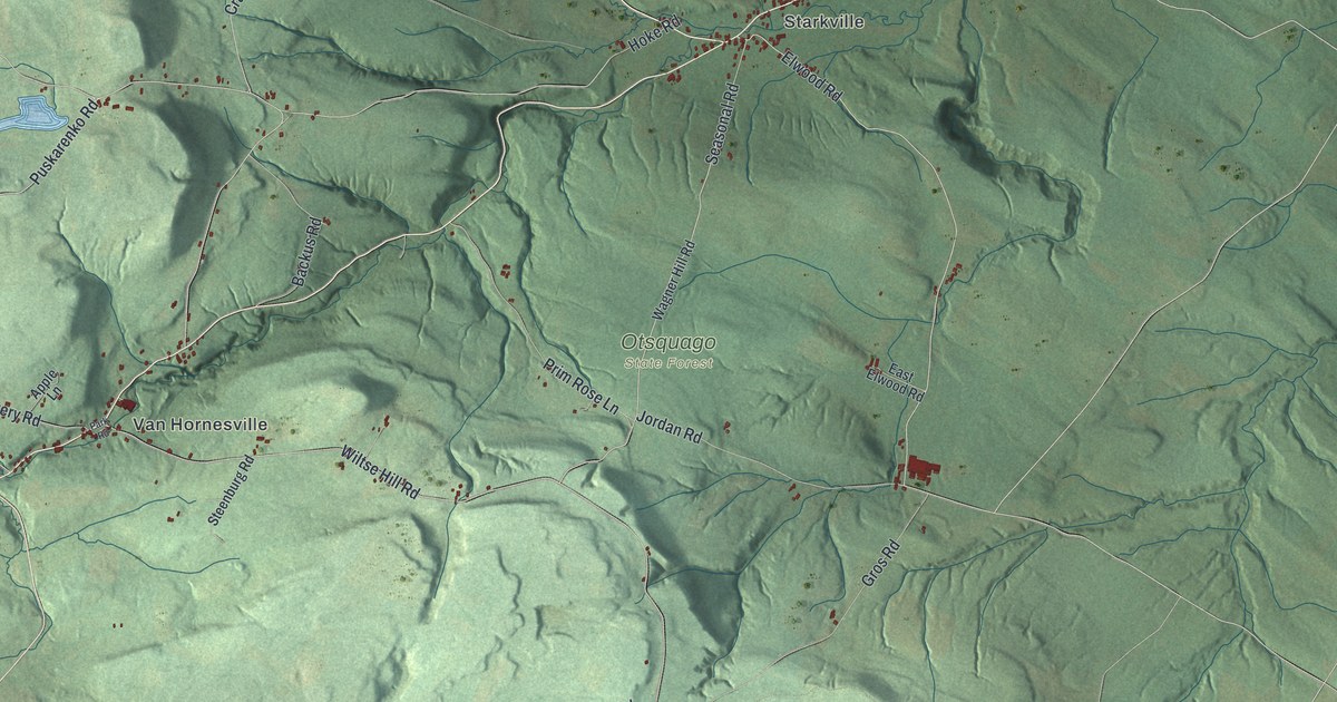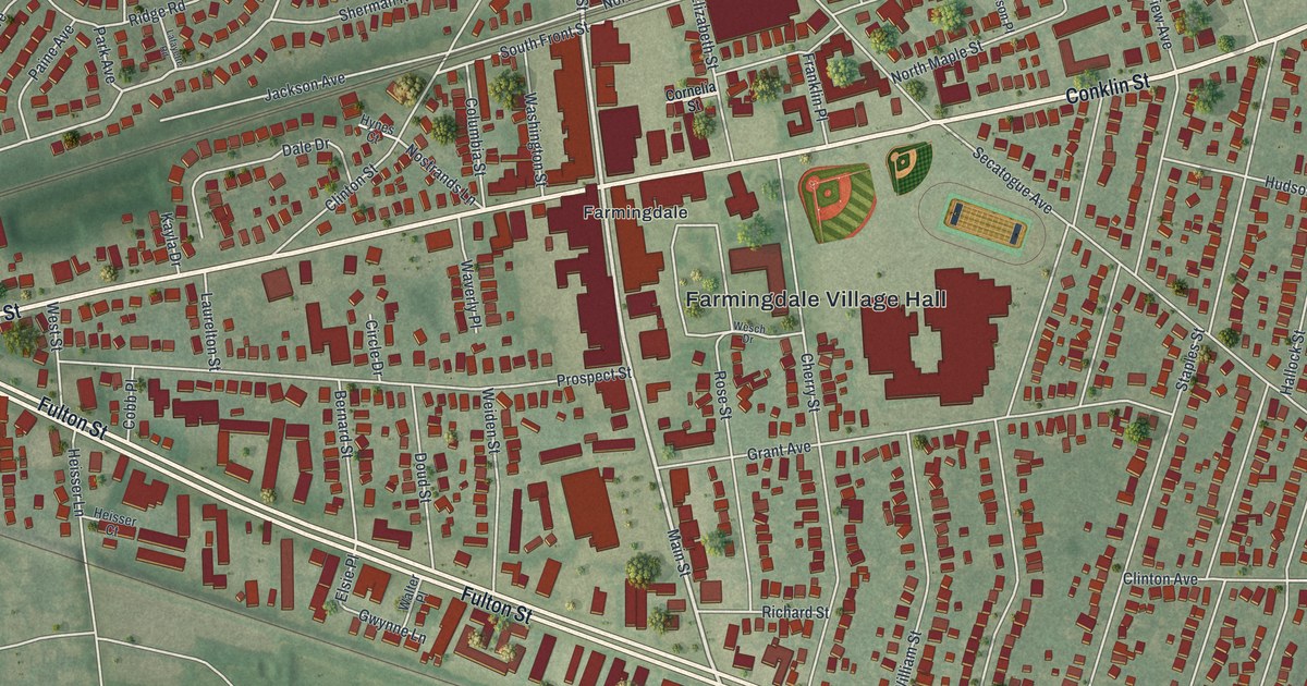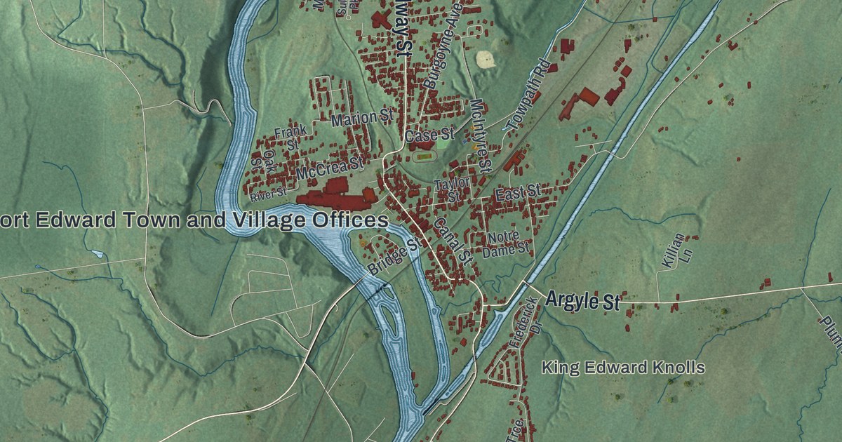
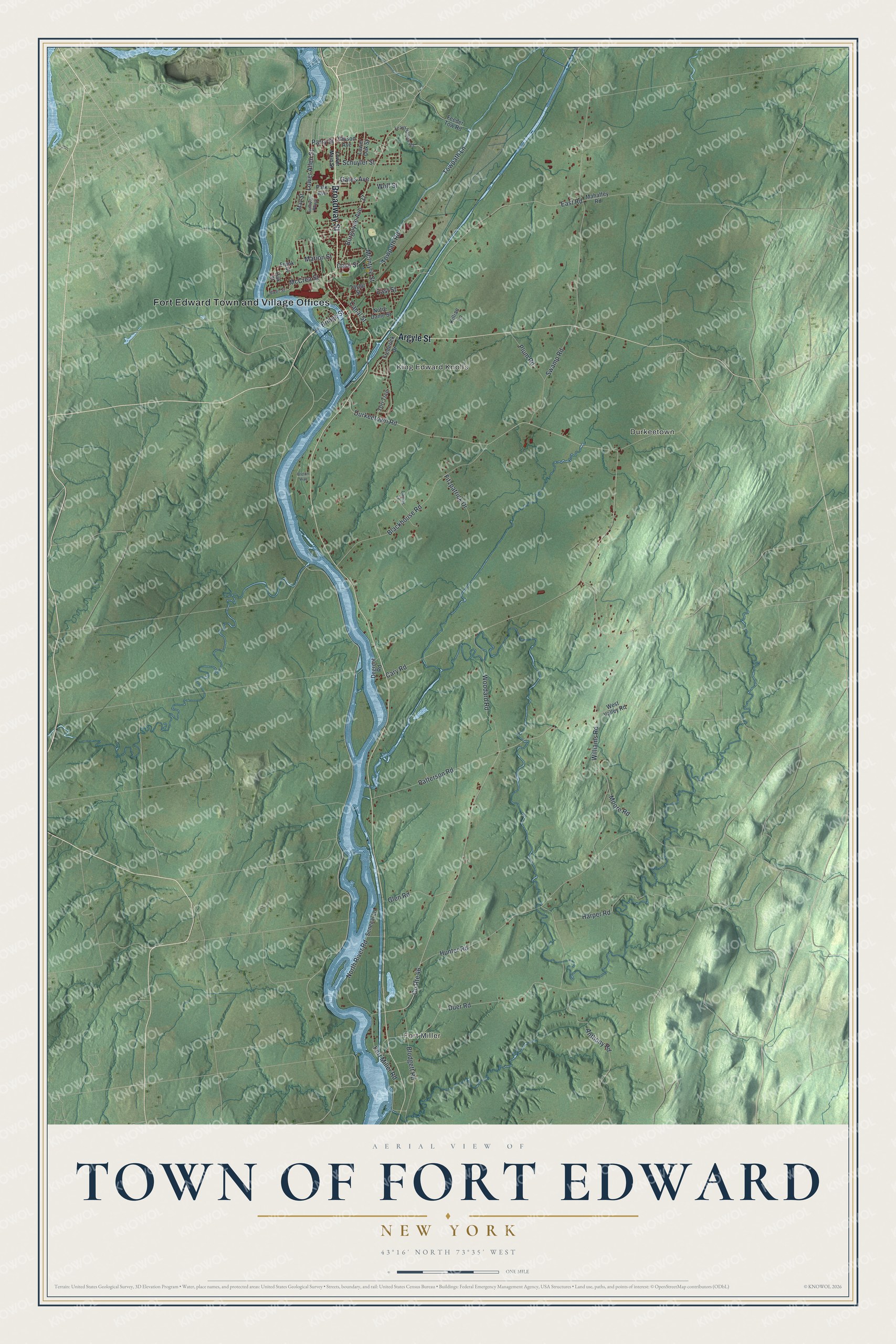
This beautifully detailed map of the Town of Fort Edward, New York was created in 2026 using aerial imagery combined with modern topographical, census, street and landmark data. It’s a one-of-a-kind view of the Town of Fort Edward that combines accurate data with a vintage aesthetic. The map shows every building in its true location, many of the roads carry their names, and the shaded topographic relief shows the shape of the land.
Explore an aerial view of the Town of Fort Edward, New York
On the map you’ll find Fort Edward Town and Village Offices, Fort Miller, King Edward Knolls, and Durkeetown, along with Broadway Street, Argyle Street, Lower Main Street, East Road, and more. If you look closely you can even find your house accurately drawn in its correct location. Zoom in on the preview to look for yours.
Did You Know?
The town sits at the Great Carrying Place, a portage around the Hudson falls used by Native Americans for thousands of years. General Phineas Lyman built Fort Lyman here in 1755. A year later William Johnson renamed it Fort Edward. The new name honored Prince Edward, grandson of King George II.
Take a closer look at the Town of Fort Edward map
Names on this map
These names are printed on this map.
Places: Fort Edward Town and Village Offices, Fort Miller, King Edward Knolls and Durkeetown.
Streets and roads: Broadway Street, Argyle Street, County Route 46, East Road, Towpath Lane, Lower Allen Street, Towpath Road, Duer Road, East Street, Hunter Road, Cary Road, Blackhouse Road.
More street names, A to Z
Anthony Road, Blodgett Road, Breton Way, Bridge Street, Burgoyne Avenue, Canal Street, Case Street, Degroot Road, Durkeetown Road, Feeder Tow Road, Fitzpatrick Drive, Fort Miller Road, Frank Street, Frederick Drive, Gates Avenue, Gibson Avenue, Glen Road, Harper Road, Killian Lane, Lamos Lane, Leavy Hollow Road, Lower Main Street, Lower Oak Street, Mahaffey Road, Marion Street, May Street, McCrea Street, McIntyre Street, Moore Road, North River Road, Notre Dame Street, Oak Street, Park Avenue, Parry Street, Patterson Road, Plum Road, River Street, Schuyler Street, Senecal Lane, Sullivan Parkway, Swamp Road, Taylor Street, Tori Trce, West Valley Road, Williams Road, Wolf Street, Woodard Road.
See it on a wall
The Fort Edward map as a framed print. Swipe for more.


This beautifully detailed map of the Town of Fort Edward makes an attractive addition to your office, library, or den, and it can even be used to teach children the geography and history of the area. It also makes a great gift for someone who left the Town of Fort Edward and still calls it home. When you’re done exploring, click here to get your copy of the Town of Fort Edward map.