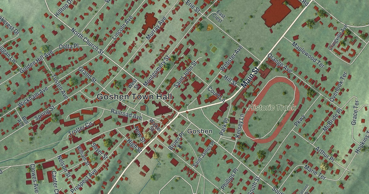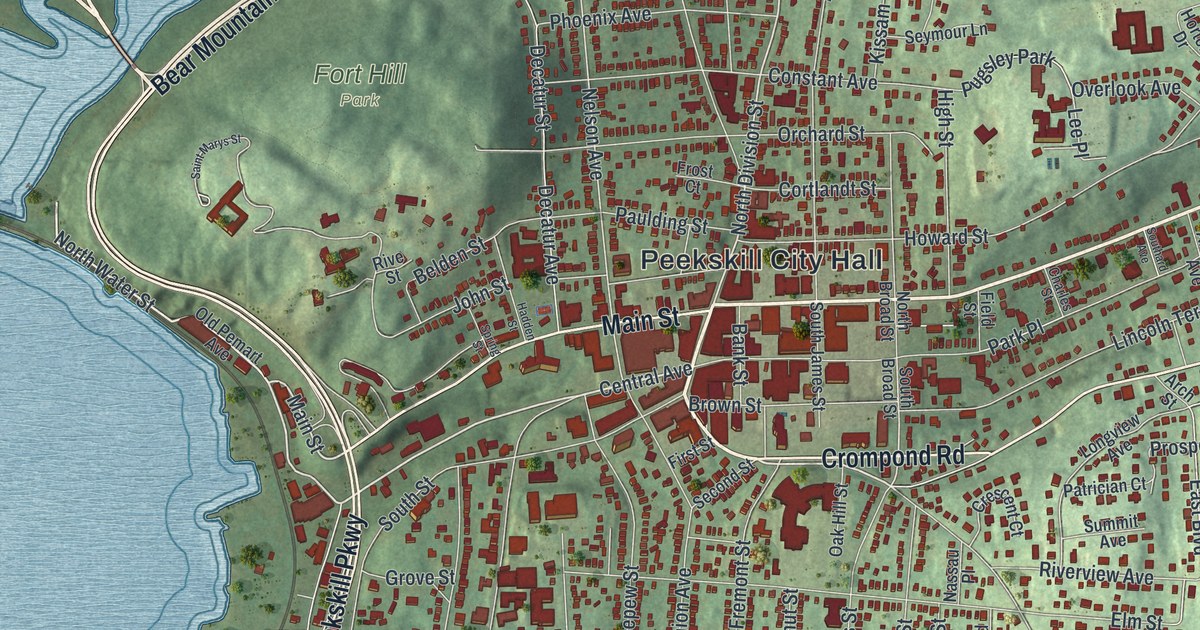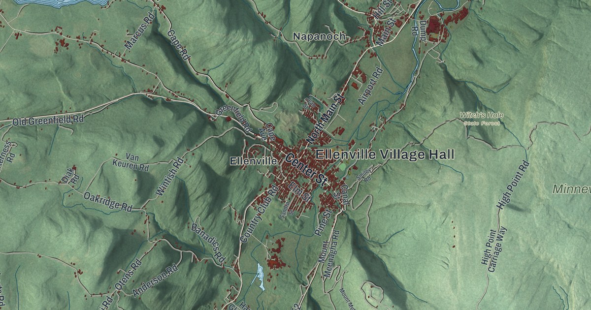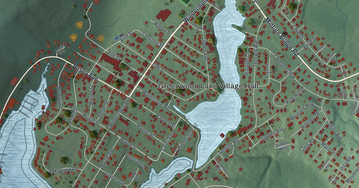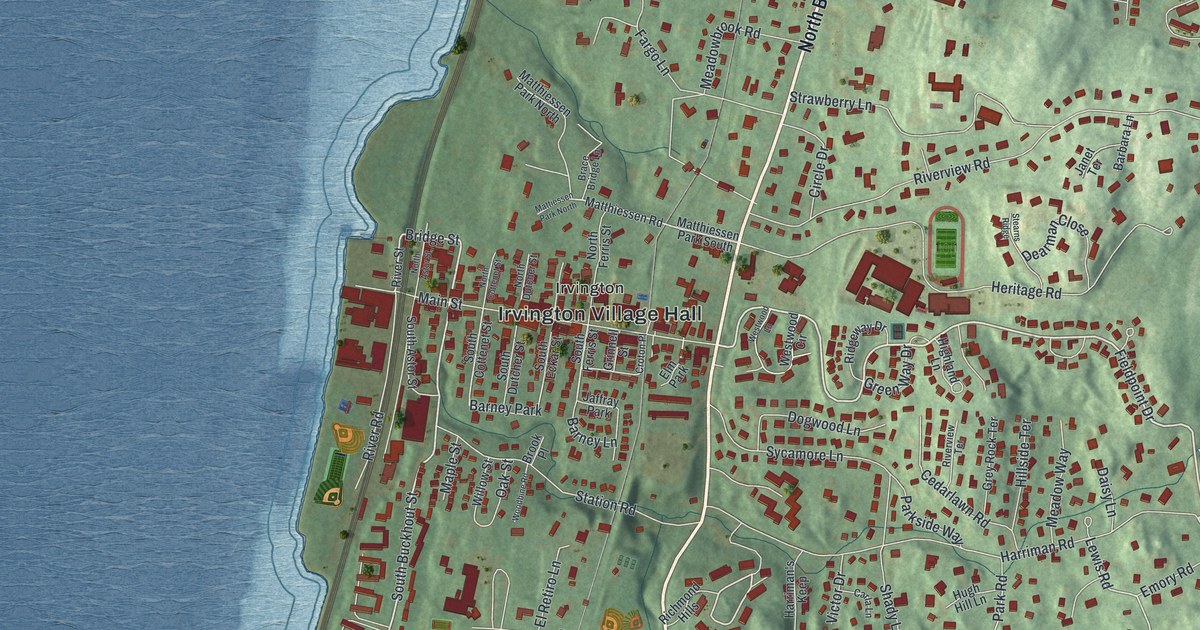
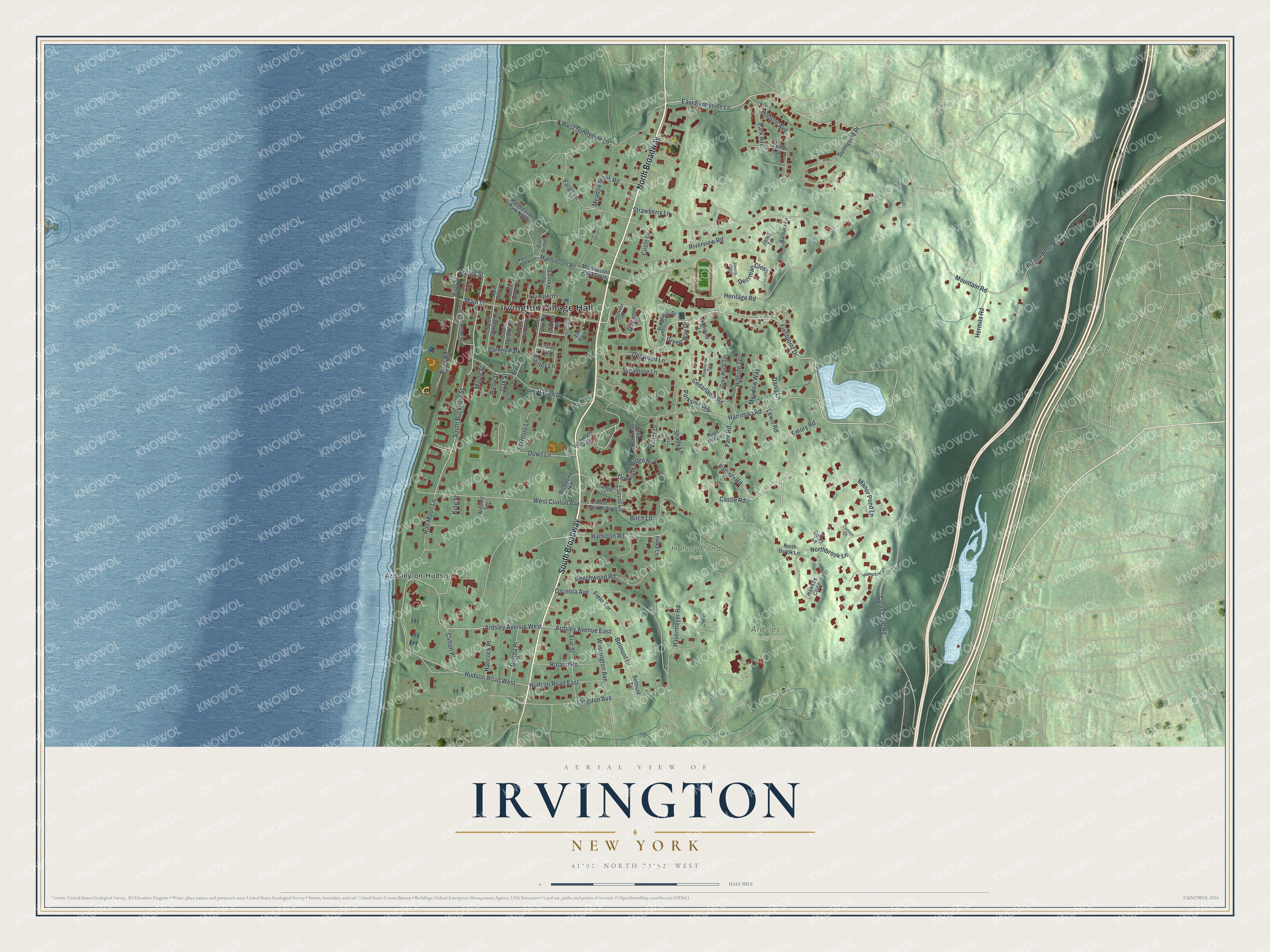
This beautifully detailed map of Irvington, New York was created in 2026 using aerial imagery combined with modern topographical, census, street and landmark data. It’s a one-of-a-kind view of Irvington that combines accurate data with a vintage aesthetic. The map shows every building in its true location, many of the roads carry their names, and the shaded topographic relief shows the shape of the land.
Explore an aerial view of Irvington, New York
On the map you’ll find Irvington Village Hall, South Broadway, North Broadway, Ardsley-on-Hudson, and Halsey Pond Park, along with Cyrus Field Road, Fieldpoint Drive, and more. If you look closely you can even find your house accurately drawn in its correct location. Zoom in on the preview to look for yours.
Did You Know?
In 1848 John Jay, grandson of the Founding Father, bought land here and laid out a village he named Dearman. In 1854 Dearman joined the hamlet of Abbotsford, and voters picked the name Irvington. It honored author Washington Irving, who was still alive and living at nearby Sunnyside.
Take a closer look at the Irvington map
Names on this map
These names are printed on this map.
Places: Irvington Village Hall, Ardsley Country Club, Halsey Pond Park, Ardsley-on-Hudson, Irvington, Barney Park, Jaffray Park and Elm Park.
Streets and roads: South Broadway, North Broadway, Cyrus Field Road, Fieldpoint Drive, East Sunnyside Lane, Palliser Road, Lewis Road, Sunnyside Place, South Buckhout Street, Hamilton Road, Bridge Street, Ardsley Avenue West.
More street names, A to Z
Ardsley Avenue East, Ardsley Terrace, Barbara Lane, Barney Lane, Beechwood Road, Belmont Drive, Belmont Terrace, Bertha Place, Birch Lane, Brace Bridge Lane, Brook Place, Carla Lane, Castle Road, Cedarlawn Road, Center Street, Circle Drive, Clifton Place, Connor Court, Croton Place, Daisy Lane, Dearman Close, Derby Lane, Dogwood Lane, Downing Court, Downing Ridge Road, Dows Lane, East Clinton Avenue, El Retiro Lane, Emory Road, Erie Street, Fargo Lane, Field Terrace, Green Way Drive, Grey Rock Terrace, Grinnell Street, Half Moon Lane, Hampden Lane, Hancock Place, Harriman's Keep, Harriman Road, Havermeyer Road, Hawkes Close, Heritage Road, Hermits Road, Highland Lane, Hillside Terrace, Hudson Avenue, Hudson Road East, Hudson Road West, Hugh Hill Lane, Ilinka Lane, Janet Terrace, King Street, Langdon Avenue, Locust Lane, Main Street, Manor Pond Lane, Maple Street, Matthiessen Park North, Matthiessen Park South, Matthiessen Road, Mattiessen Park North, Meadowbrook Road, Meadow Way, Mountain Road, North Astor Street, Northbrook Lane, North Brook Lane, North Cottenet Street, North Dutcher Street, North Ferris Street, Oak Street, Osceola Avenue, Park Avenue, Park Road, Parkside Way, Peter Bont Road, Richmond Hill, Richmond Hills, Ridgeway Drive, River Road, River Street, Riverview Road, Riverview Terrace, Roland Road, Shady Lane, South Astor Street, South Cottenet Street, South Dutcher Street, South Eckar Street, South Ferris Street, Station Road, Stearns Ridge, Strawberry Lane, Sycamore Lane, Victor Drive, Washington Avenue, West Clinton Avenue, West Sunnyside Lane, Westwood Circle, Westwood Lane, Willow Street, Woodbine Road.
See it on a wall
The Irvington map as a framed print. Swipe for more.


This beautifully detailed map of Irvington makes an attractive addition to your office, library, or den, and it can even be used to teach children the geography and history of the area. It also makes a great gift for anyone who grew up in Irvington or moved away. When you’re done exploring, click here to get your copy of the Irvington map.