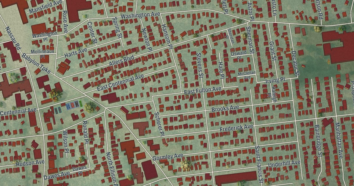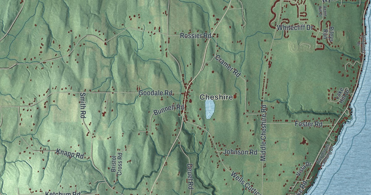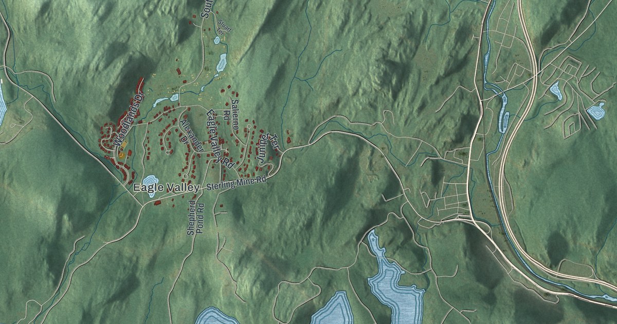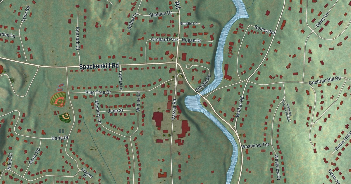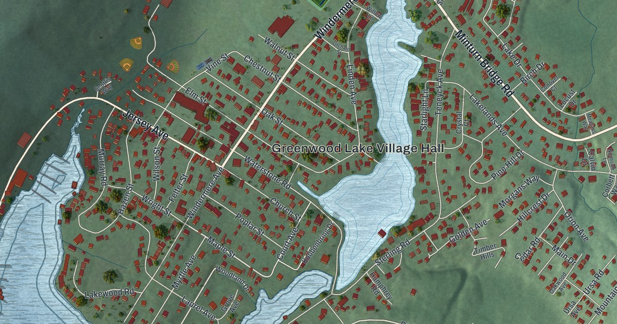
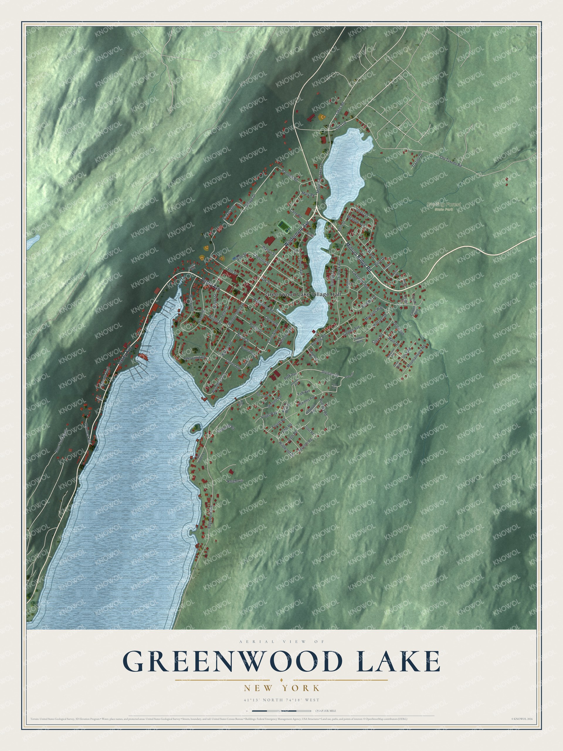
This beautifully detailed map of Greenwood Lake, New York was created in 2026 using aerial imagery combined with modern topographical, census, street and landmark data. It's a modern aerial view of Greenwood Lake in Orange County, New York, that combines modern data with a vintage aesthetic. The roads feature printed names, and if you look closely you can find your exact house accurately shown in its correct location.
Explore an aerial view of Greenwood Lake, New York
On this map you'll find Greenwood Lake Village Hall, Sterling Forest State Park, Minturn Bridge Road, Windermere Avenue, Jersey Avenue, Village Drive, Old 17A, Division Street, Woodbine Avenue, Maple Street, Parker Avenue, Sterling Road, and more. Each red shape is a building, so zoom in on the preview and look for yours.
Greenwood Lake is a village in Orange County. The Census Bureau counted 2,994 people here in 2020. Greenwood Lake sits about 4 miles southeast of Warwick, 4 miles west of Tuxedo Park and 6 miles west of Tuxedo. The map prints the town name in its title panel, with the coordinates below it.
Take a closer look at the Greenwood Lake map
Names on this map
These names are printed on this map.
Places: Greenwood Lake Village Hall and Sterling Forest State Park.
Streets and roads: Minturn Bridge Road, Windermere Avenue, Jersey Avenue, Village Drive, Division Street, Woodbine Avenue, Maple Street, Parker Avenue, Sterling Road, Edgemere Avenue, Old Tuxedo Road, Waterstone Road.
More street names, A to Z
Adams Street, Birch Drive, Brier Hill, Brook Court, Burr Avenue, Calvin Drive, Cane Road, Cascade Trail, Cedar Road, Chestnut Street, Church Street, Conover Court, Corbett Way, Court Avenue, Crystal Court, Deer Trail North, Elm Street, Felter Street, Fifth Road, Fillmore Avenue, Forest Drive, Fourth Road, Golden Avenue, Grove Avenue, Hazen Street, Hemlock Hill, Hillcrest Drive, Humphrey Road, Jefferson Avenue, Knight Circle, Kobbenbring Drive, Lake Drive, Lakelands Avenue, Lakes Road, Lakewood Road, Laurel Avenue, Linden Avenue, Locust Drive, Main Drive, Mary Road, McKinley Avenue, Meadow Avenue, Meagans Way, Morgans Way, Mountain Lakes Lane, Mountainview Road, Murray Road, Myrtle Avenue, Northside Lane, Oak Street, Oakwood Avenue, Orchard Street, Orion Avenue, Pine Hill Drive, Polk Avenue, Poplar Street, Random Road, Rumsey Road, Scottis Way, Second Road, Seventh Road, Shore Drive, Sixth Road, Starlight Lane, Taft Avenue, Teneyck Avenue, Timberhill Road, Timber Hills, Trazino Drive, Trout Road, Tyler Avenue, Ursa Avenue, Ursa Road, Van Orden Lane, Vine Street, Vogel Way, Wah-Ta-Wah Drive, Wah Ta Wah Drive, Walnut Street, Wildwood Drive, Willow Lane, Wilson Street, Woodland Drive, Wright Street.
See it on a wall
The Greenwood Lake map as a framed print. Swipe for more.


Created by KNOWOL in 2026. The buildings are small red shapes, the roads carry their printed names, and shaded relief shows the shape of the land. The title panel reads "AERIAL VIEW OF GREENWOOD LAKE, NEW YORK" with 41°13' NORTH 74°18' WEST.
Hang it in the hallway, the office or the cabin, or give it to someone who left Greenwood Lake and still calls it home. Open the preview and look for a street you know. See sizes and frames for the Greenwood Lake map.