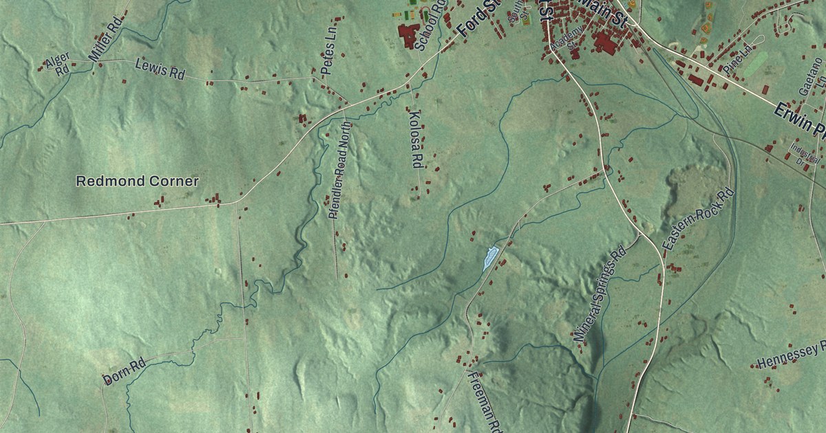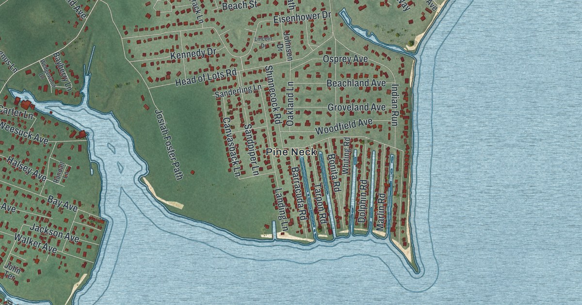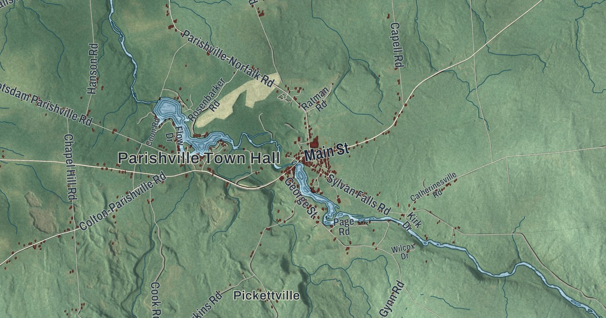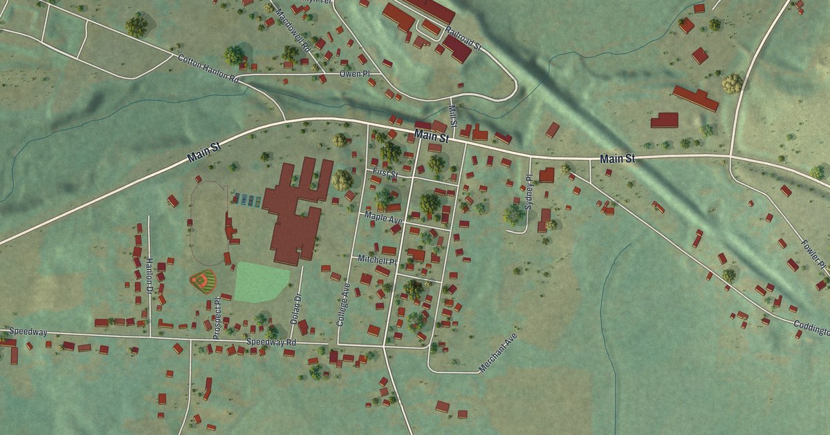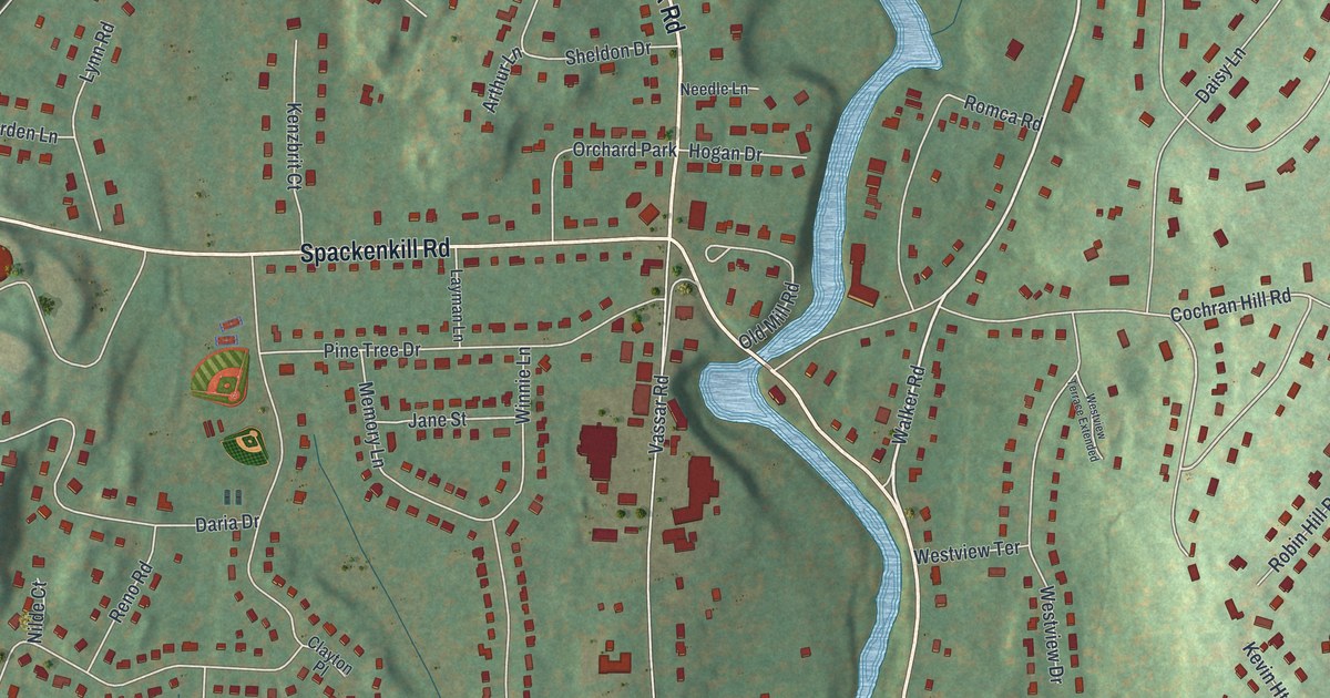
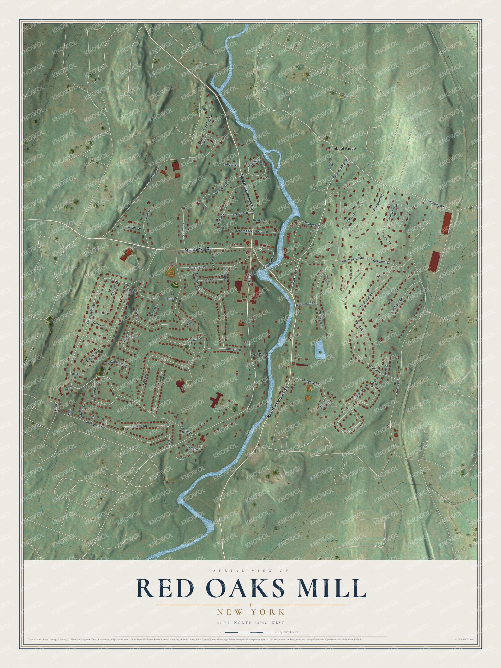
This beautifully detailed map of Red Oaks Mill, New York was created in 2026 using aerial imagery combined with modern topographical, census, street and landmark data. It's a modern aerial view of Red Oaks Mill in Dutchess County, New York, that combines modern data with a vintage aesthetic. The roads feature printed names, and if you look closely you can find your exact house accurately shown in its correct location.
Explore an aerial view of Red Oaks Mill, New York
On this map you'll find Rombout Ridge, New Hackensack Road, Spackenkill Road, Walker Road, Pleasant Ridge Drive, Macghee Road, Cochran Hill Road, Vassar Road, Daley Road, Cedar Valley Road, Alda Drive, Titusville Road, and more. Each red shape is a building, so zoom in on the preview and look for yours.
Red Oaks Mill is a community in Dutchess County. The Census Bureau counted 3,810 people here in 2020. Red Oaks Mill sits about 2 miles east of Spackenkill, 2 miles north of New Hackensack and 3 miles south of Vassar College. The map prints the town name in its title panel, with the coordinates below it.
Take a closer look at the Red Oaks Mill map
Names on this map
These names are printed on this map.
Places: Rombout Ridge and Orchard Park.
Streets and roads: New Hackensack Road, Spackenkill Road, Walker Road, Pleasant Ridge Drive, Macghee Road, Cochran Hill Road, Vassar Road, Daley Road, Cedar Valley Road, Alda Drive, Titusville Road, Red Oaks Mill Road.
More street names, A to Z
Alfred Drive, Arbor Hill Drive, Arden Lane, Arthur Lane, Brentwood Drive, Carmen Drive, Carnelli Court, Caudie Drive, Clayton Place, Cora Lane, Cortlandt Drive, Daisy Lane, Daria Drive, Donna Drive, Fair Oaks Drive, Four Winds Drive, Gale Drive, Gerry Road, Heathbrook Drive, Hemlock Road, High Court, Hogan Drive, Irwin Court, Jane Street, Jay Road, Kellerhause Drive, Kenzbrit Court, Kevin Heights, Kinry Road, Lakeview Court, Lakeview Road, Layman Lane, Lynn Road, Mainetti Drive, Mark Court, May Court, Memory Lane, Merry Hill Road, Micort Drive, Needle Lane, Nilde Court, North Drive, Oak Court, Old Mill Road, Panessa Drive, Partners Trce, Pat Drive, Pine Tree Drive, Pleasant Lane, Providence Way, Redondo Drive, Reno Road, Robin Hill Road, Romca Road, Sheldon Drive, Short Court, Sutton Park Road, Tree Top Lane, Vanek Road, Westview Drive, Westview Terrace, Westview Terrace Extended, Winnie Lane.
See it on a wall
The Red Oaks Mill map as a framed print. Swipe for more.


Created by KNOWOL in 2026. The buildings are small red shapes, the roads carry their printed names, and shaded relief shows the shape of the land. The title panel reads "AERIAL VIEW OF RED OAKS MILL, NEW YORK" with 41°39' NORTH 73°52' WEST.
It suits a den, a classroom or a front hall, and it makes a gift for anyone with Red Oaks Mill roots. Open the preview and find the block you know. See sizes and frames for the Red Oaks Mill map.