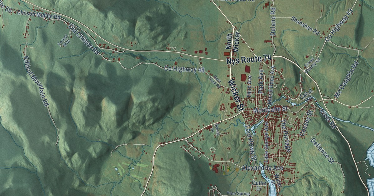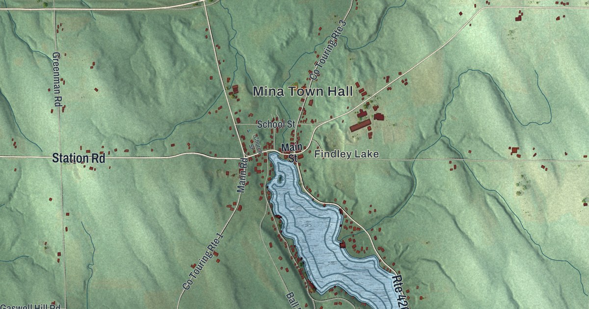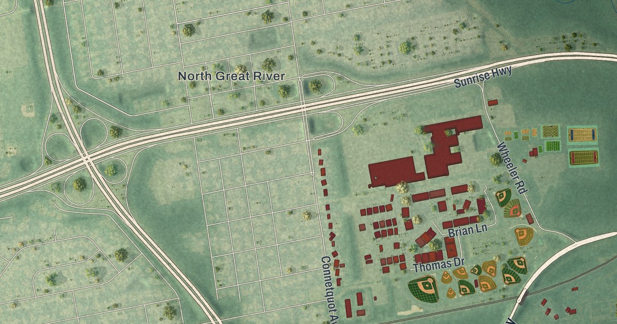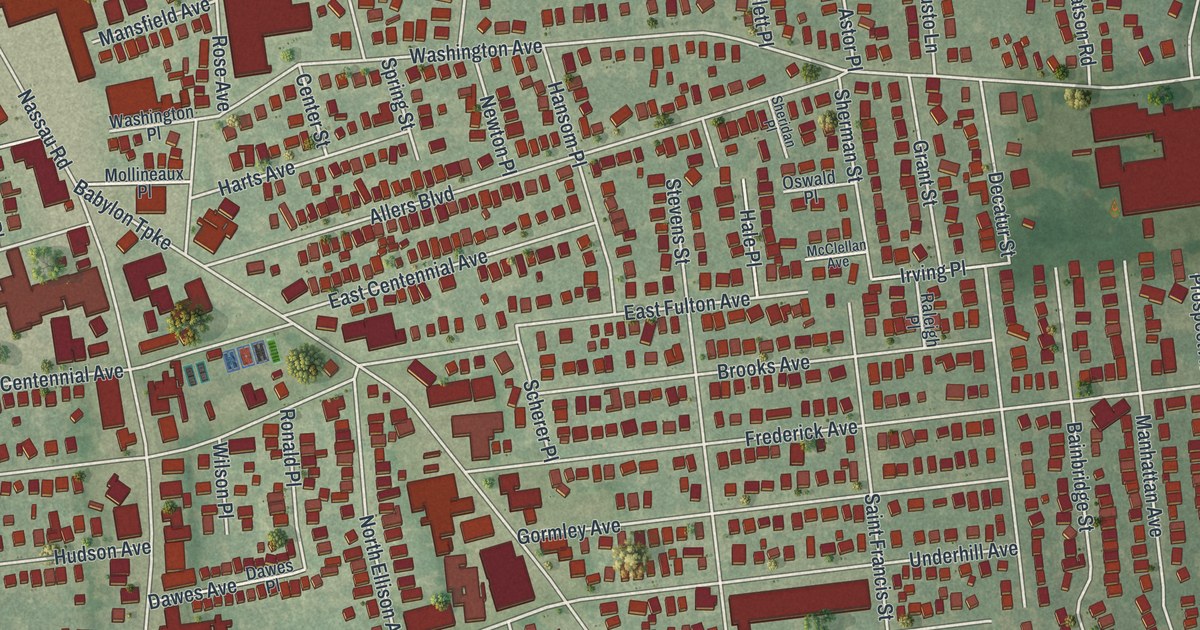
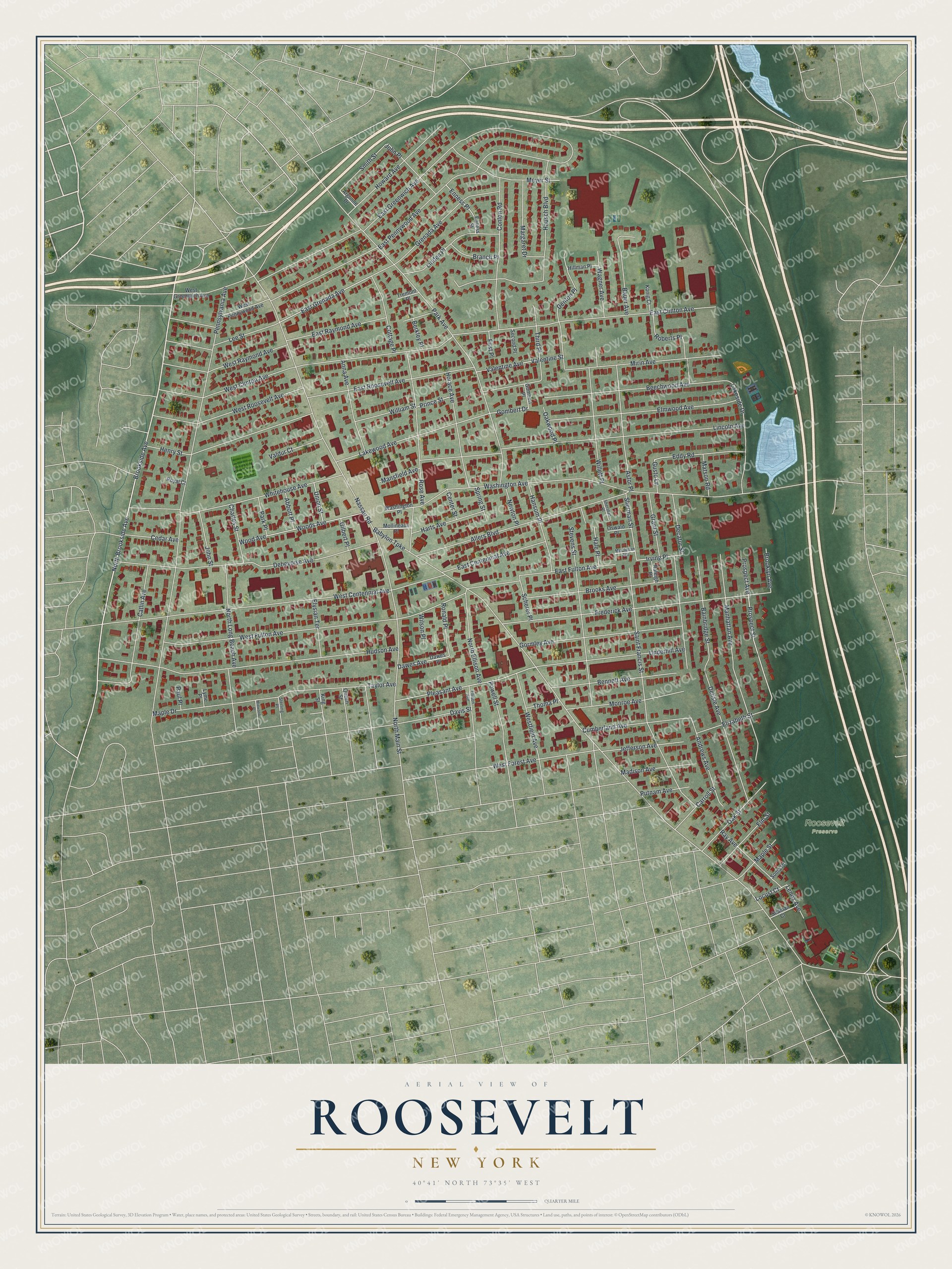
This beautifully detailed map of Roosevelt, New York was created in 2026 using aerial imagery combined with modern topographical, census, street and landmark data. It’s a one-of-a-kind view of Roosevelt that combines accurate data with a vintage aesthetic. The map shows every building in its true location, many of the roads carry their names, and the shaded topographic relief shows the shape of the land.
Explore an aerial view of Roosevelt, New York
On the map you’ll find Brookside Avenue, Pleasant Avenue, Gombert Drive, Babylon Turnpike, Nassau Road, and more. If you look closely you can even find your house accurately drawn in its correct location. Zoom in on the preview to look for yours.
Did You Know?
Roosevelt was once known as Greenwich and Rum Point. In the early 1900s it took the name of President Theodore Roosevelt. He was a Long Island neighbor. His Cove Neck home, Sagamore Hill, served as his Summer White House.
Take a closer look at the Roosevelt map
Names on this map
These names are printed on this map.
Places: Roosevelt Preserve.
Streets and roads: North Brookside Avenue, Brookside Avenue, Pleasant Avenue, Gombert Drive, Babylon Turnpike, Nassau Road, Washington Avenue, Pennsylvania Avenue, East Clinton Avenue, East Greenwich Avenue, Park Avenue, East Pennywood Avenue.
More street names, A to Z
Abbott Place, Allers Boulevard, Andrews Avenue, Anna Avenue, Argonne Drive, Astor Place, Bainbridge Street, Bauer Avenue, Beechwood Avenue, Bennett Avenue, Berkley Place, Branch Place, Brooklyn Avenue, Brooks Avenue, Carroll Street, Catlin Avenue, Cedar Avenue, Center Street, Charles Street, Conlon Road, Cottage Place, Cumberland Avenue, Davis Street, Dawes Avenue, Dawes Place, Debevoise Avenue, Decatur Street, Delisle Avenue, Denton Place, East Centennial Avenue, East Fulton Avenue, East Grenada Avenue, East Raymond Avenue, East Roosevelt Avenue, Eddy Road, Elizabeth Street, Ellison Avenue, Elm Street, Elmwood Avenue, Elysian Terrace, Enness Place, Enness Street, First Place, Frederick Avenue, Gilbert Place, Gombert Place, Gormley Avenue, Grant Street, Grenada Avenue, Gusto Lane, Hale Place, Hansom Place, Harts Avenue, Hausch Boulevard, Henry Street, Hillman Place, Horace Avenue, Howard Avenue, Hudson Avenue, Irving Place, Jefferson Avenue, John Place, John Street, King Street, Konig Court, Lakeside Drive, Lakewood Avenue, Lee Street, Lenox Avenue, Lincoln Avenue, Linden Place, Locust Court, Lyme Place, Madison Avenue, Manhattan Avenue, Mansfield Avenue, Maple Drive, Maple Street, Margaret Drive, Matson Road, McClellan Avenue, Meyer Street, Midwood Place, Mirin Avenue, Mollineaux Place, Monroe Avenue, Newton Place, North Ellison Avenue, North Long Beach Avenue, North Main Street, Oak Street, Oakwood Place, Oswald Place, Park Place, Paul Place, Powell Street, Prince Street, Prospect Avenue, Prospect Street, Putnam Avenue, Queen Street, Raleigh Place, Ray Avenue, Roberts Place, Ronald Place, Rose Avenue, Royal Court, Saint Francis Street, Scherer Place, Seaman Court, Second Place, Sheridan Place, Sherman Street, Smith Street, Soma Place, Spring Street, Sterling Place, Stevens Street, Taylor Avenue, Third Place, Thoma Place, Tremont Place, Underhill Avenue, Union Street, Valdur Court, Valentine Avenue, Valentine Street, Wagner Avenue, Washington Place, West Centennial Avenue, West Clinton Avenue, Westfield Avenue, West Forest Avenue, West Fulton Avenue, West Greenwich Avenue, West Pennywood Avenue, West Raymond Avenue, West Roosevelt Avenue, Whitehouse Avenue, Willett Place, William Street, Wilson Place, Wood Avenue, Woods Avenue.
See it on a wall
The Roosevelt map as a framed print. Swipe for more.


This beautifully detailed map of Roosevelt makes an attractive addition to your office, library, or den, and it can even be used to teach children the geography and history of the area. It also makes a great gift for anyone with Roosevelt roots. When you’re done exploring, click here to get your copy of the Roosevelt map.