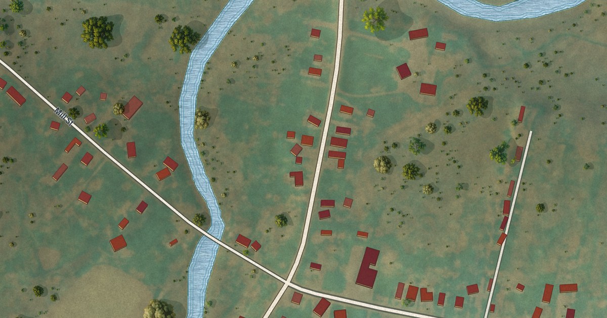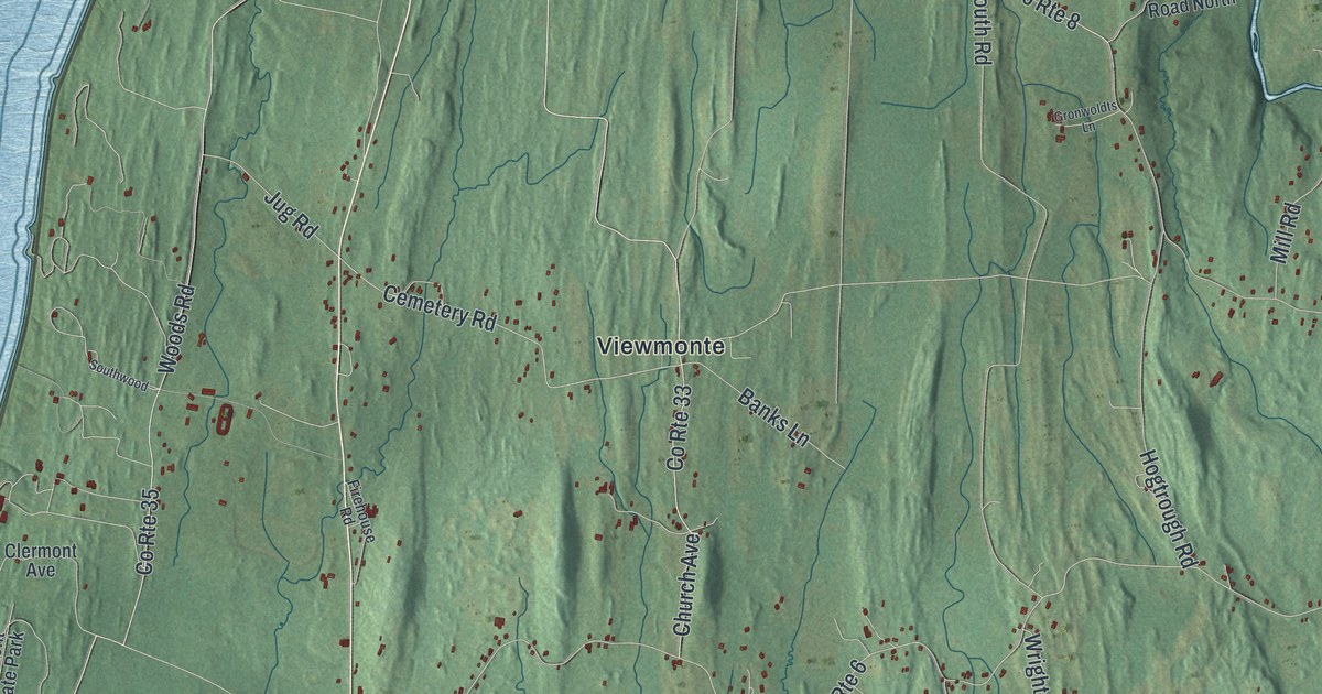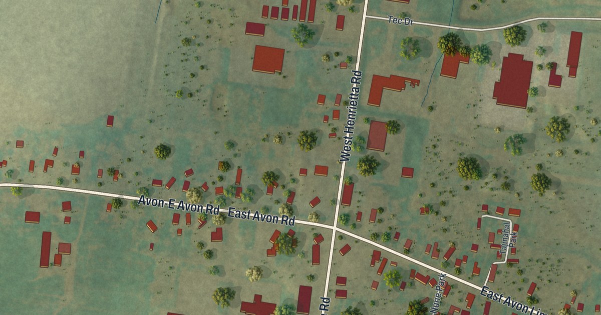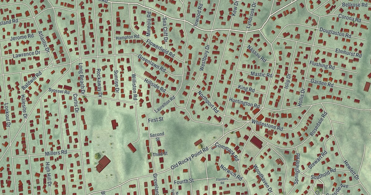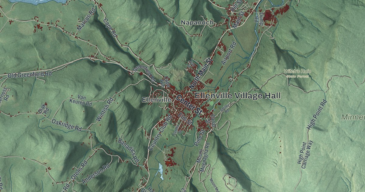
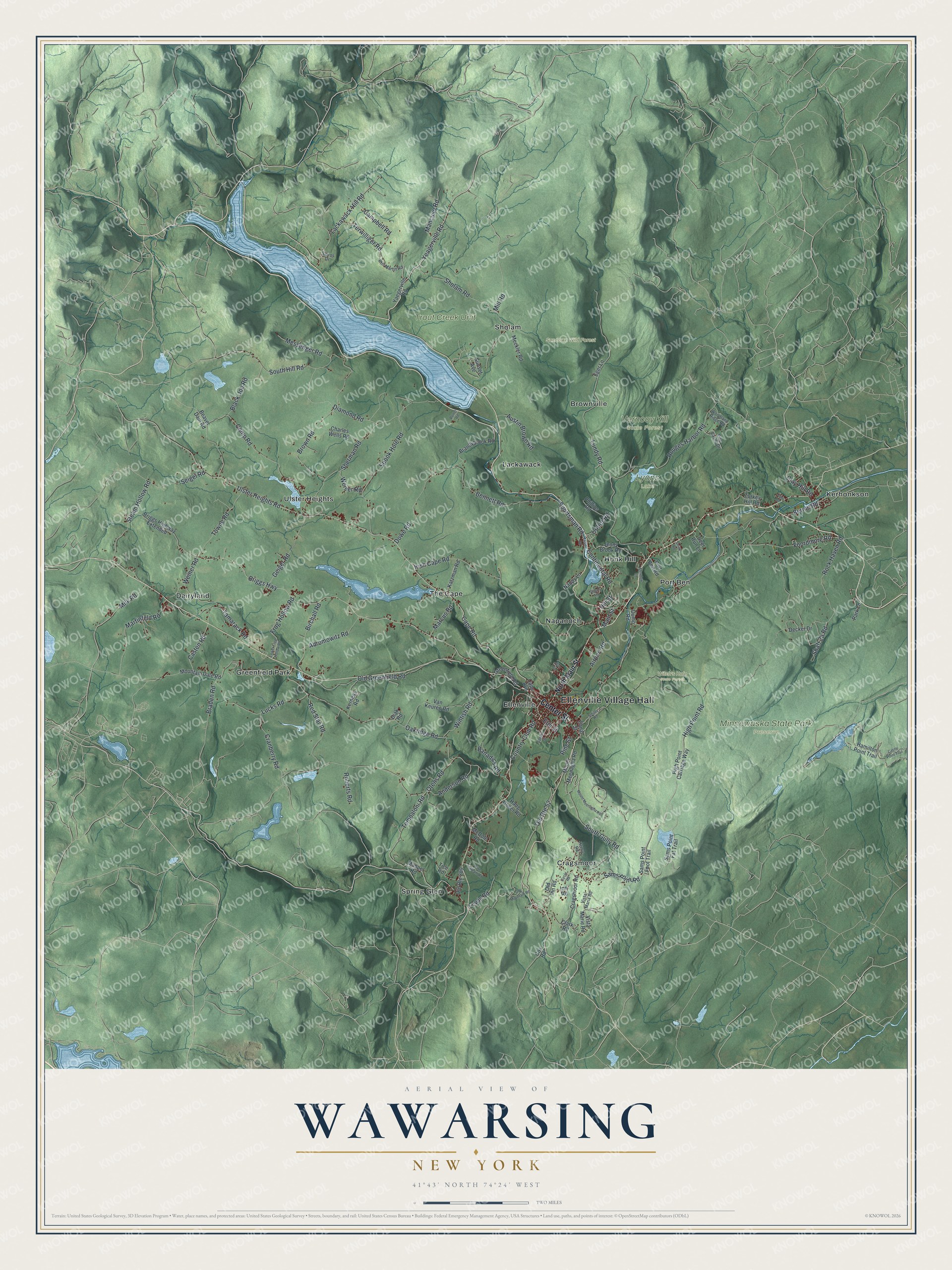
This beautifully detailed map of Wawarsing, New York was created in 2026 using aerial imagery combined with modern topographical, census, street and landmark data. It’s a one-of-a-kind view of Wawarsing that combines accurate data with a vintage aesthetic. The map shows every building in its true location, many of the roads carry their names, and the shaded topographic relief shows the shape of the land.
Explore an aerial view of Wawarsing, New York
On the map you’ll find Ellenville Village Hall, Brownville, Cragsmoor, Dairyland, Ellenville, Greenfield Park, Minnewaska State Park Preserve, Sundown Wild Forest, Vernooy Kill State Forest, and Witch’s Hole State Forest, along with Center Street, Yeagerville Road, Clay Hill Road, Cape Road, and more. If you look closely you can even find your house accurately drawn in its correct location. Zoom in on the preview to look for yours.
Did You Know?
In 1663 the Lenape attacked Wiltwyck and took captives. English militiamen led by Marten Crieger answered by burning the Lenape settlement at Wawarsing. In 1685 Warnaar Hoornbeek leased land there. He became known as its first European pioneer.
Take a closer look at the Wawarsing map
Names on this map
These names are printed on this map.
Places: Ellenville Village Hall, Lyons Lake, Minnewaska State Park Preserve, Sundown Wild Forest, Trout Creek Unit, Vernooy Kill State Forest, Witch's Hole State Forest, Brownville, Cragsmoor, Dairyland, Ellenville, Greenfield Park, Honk Hill, Kerhonkson, Lackawack, Napanoch, Port Ben, Sholam, Spring Glen, The Cape and Ulster Heights.
Streets and roads: Center Street, Yeagerville Road, Clay Hill Road, Cape Road, Campbell Road, Birchall Road, Ulster Heights Road, Berme Road, Briggs Highway, Lundy Road, Oakridge Road, Irish Cape Road.
More street names, A to Z
Abromowitz Road, Airport Road, Anderson Road, Austin Brown Road, Banadics Road, Beaver Dam Road, Bennett Road, Black Joe Road, Braden Road, Brandybrook Road, Briggs Highway Extended, Brown Road, Camp Road, Canal Street, Cape Avenue, Carlo Drive, Casten Road, Castle Point Trail, Charles Wells Road, Circle Road, Clark Road, Continental Road, Country Club Road, Cox Road, Cragsmoor Road, Cranberry Road, Cutler Road, Decker Drive, Deer Run Lane, Diak Road, Diamond Road, Dowe Road, Dump Road, Eger Lane, Elm Street, Foordmore Road, Frog Hollow Road, Front Road, Geiger Road, Greenfield Road, Hamilton Point Trail, Hang Glider Road, Henry Road, High Point Carriage Way, High Point Road, Hill Street, Inn Road, Jean Street, Jenny Brook Road, Katzman Road, Kerness Road, Lackawack Hill Road, Lewis Road, Lower Frog Hollow Road, Lucks Road, Main Street, Mancuso Road, Manpel Road, Marcus Road, Martinfeld Road, McDole Road, Meadow Lane, Meckler Road, Messenger Road, Milk Road, Mill Road, Mountain Dale Road, Mount Meenagha Road, Nappy Lane, North Main Street, Old Greenfield Road, Old Inn Road, Old Mountain Road, Old Route 52, Old Route 209, Otens Road, Park Lane, Phillips Road, Phil Martin Road, Pine Castle Drive, Pine Stream Road, Pine Street, Port Ben Road, Porter Road, Quarry Road, Red Star Road, Roberts Road, Rock Haven Road, Rouges Harbor Road, Sams Point Fat Trail, Sams Point Foot Trail, Sams Point Road, Sandra Street, Sarros Drive, Seigel Road, Sherman Road, Sholam Road, Smiley Road, Smith Road, South Gully Road, South Hill Road, Spook Hole Road, Sportsman Road, Steam Hollow Road, Sunset Avenue, Tamarack Road, Tempaloni Road, Terwilliger Road, Tice Road, Towne Road, Turkey Hill Road, Van Keuren Road, Vista Maria Road, Vista Marie Road, Weiner Road, Weiser Road, Wintish Road, Woodland Ridge Road, Yaegerville Road.
See it on a wall
The Wawarsing map as a framed print. Swipe for more.


This beautifully detailed map of Wawarsing makes an attractive addition to your office, library, or den, and it can even be used to teach children the geography and history of the area. It also makes a great gift for anyone with Wawarsing roots. When you’re done exploring, click here to get your copy of the Wawarsing map.