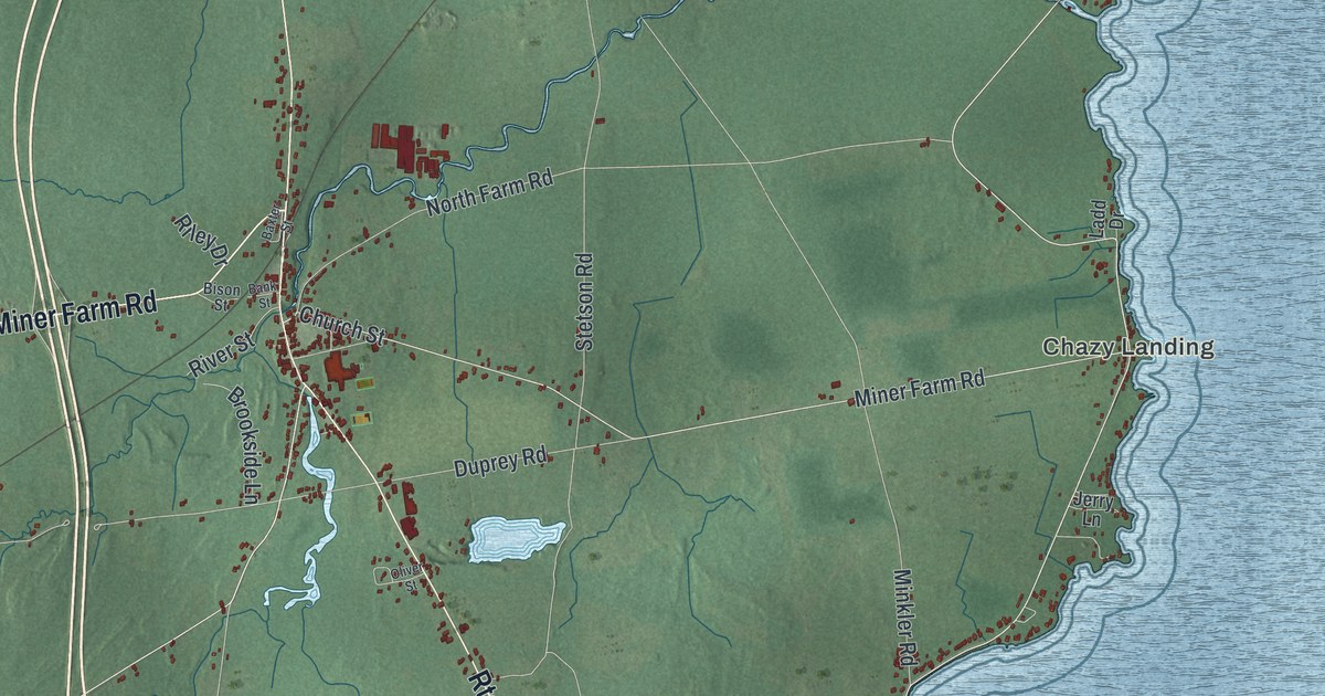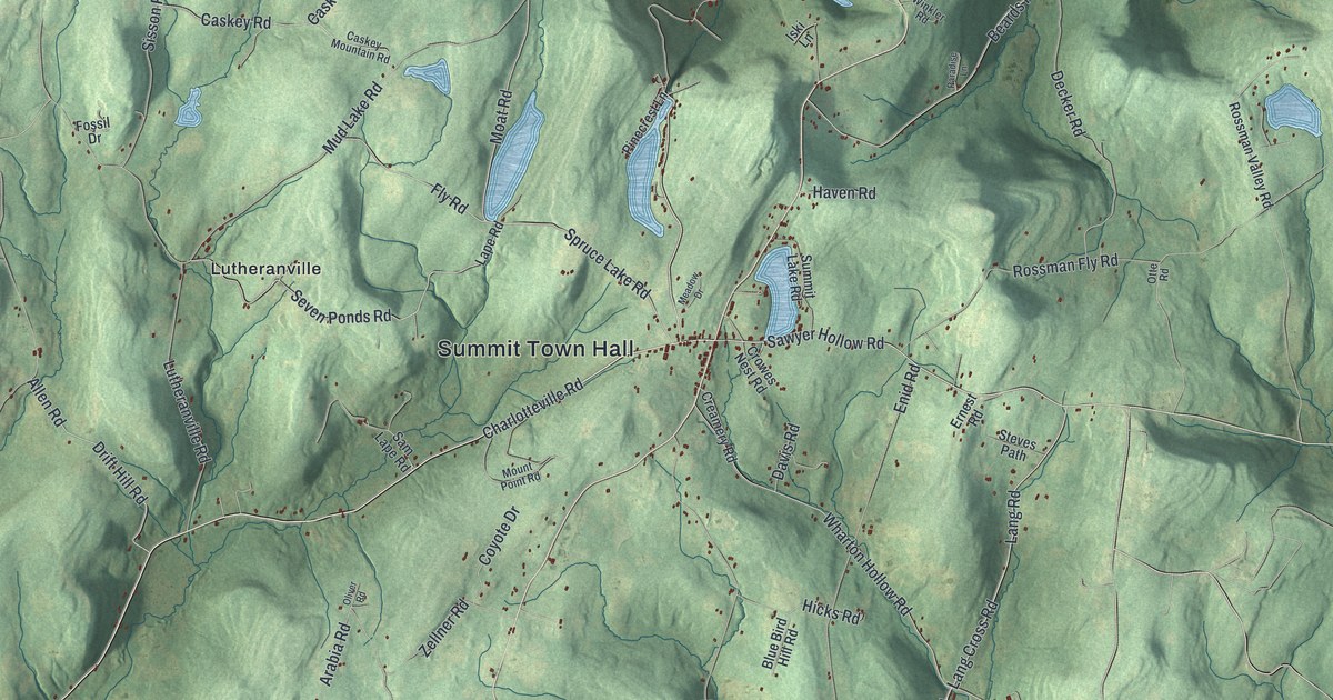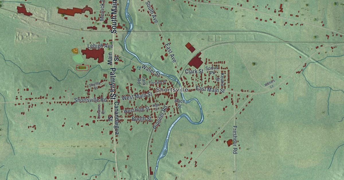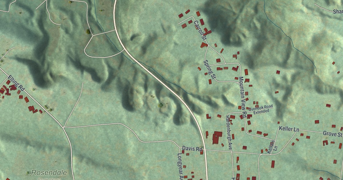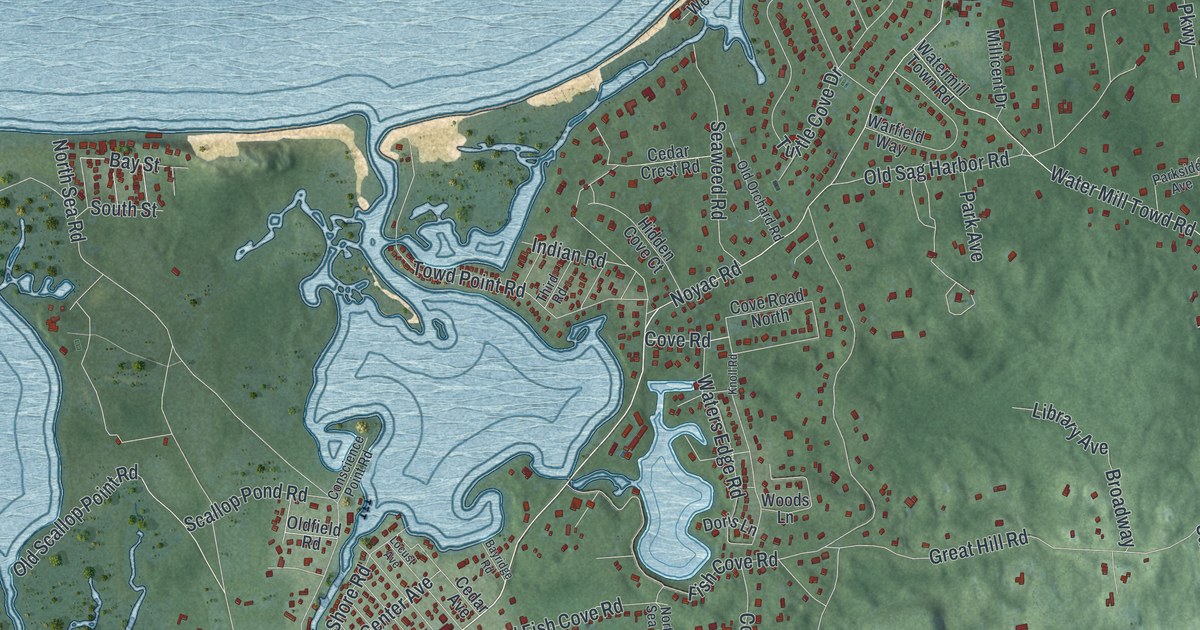
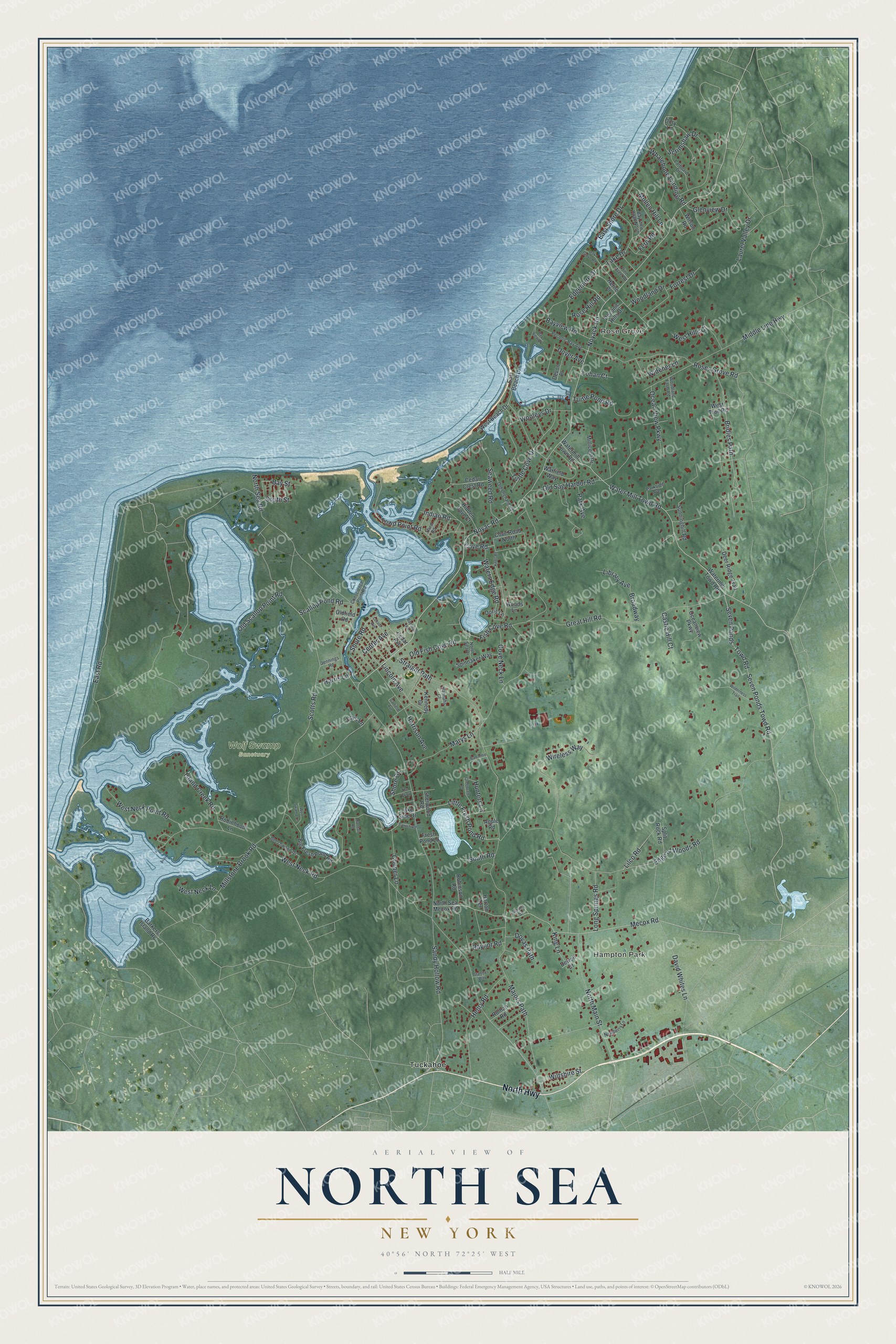
This beautifully detailed map of North Sea, New York was created in 2026 using aerial imagery combined with modern topographical, census, street and landmark data. It's a modern aerial view of North Sea in Suffolk County, New York, that combines modern data with a vintage aesthetic. The roads feature printed names, and if you look closely you can find your exact house accurately shown in its correct location.
Explore an aerial view of North Sea, New York
On this map you'll find Hampton Park, Rose Grove, Wolf Swamp Sanctuary, Tuckahoe, North Highway, Noyack Road, Sandy Hollow Road, Little Fresh Pond Road, Cove Road, Seven Ponds Towd Road, Bridies Path, North Sea Road, and more. Each red shape is a building, so zoom in on the preview and look for yours.
Every town has a first chapter, and North Sea is no exception. North Sea took its name from Peconic Bay, which early settlers called the North Sea to set it apart from the ocean, the South Sea. Tradition says the town's first settlers landed at Conscience Point, where one woman stepped ashore and exclaimed that for conscience' sake she was on dry land once more. It was the oldest village in the town after Southampton itself. While nearly everyone lived in Southampton, all goods and stores from abroad were landed at North Sea. That's from the History of Suffolk County.
North Sea is a community in Suffolk County. The Census Bureau counted 5,461 people here in 2020.
Take a closer look at the North Sea map
Names on this map
These names are printed on this map.
Places: Hampton Park, Rose Grove, Wolf Swamp Sanctuary and Tuckahoe.
Streets and roads: North Highway, Noyack Road, Sandy Hollow Road, Little Fresh Pond Road, Cove Road, Seven Ponds Towd Road, Bridies Path, North Sea Road, Noyac Road, Majors Path, Edge of Woods Road, Millstone Brook Road.
More street names, A to Z
Apple Road, Balcomie Lane, Barkers Island Road, Bayridge Road, Bay Street, Bay View Drive, Bayview Road, Bay View Road North, Beechwood Drive, Big Fresh Pond Road, Broadway, Castle Hill Court, Cedar Avenue, Cedar Crest Road, Center Avenue, Conscience Point Road, Cooper Lane, Cove Neck Lane, Cove Road North, David Whites Lane, Deer Ridge Trail, Devon Place, Deweil Drive, Doris Lane, Dory Lane, Dovas Path, Dover Avenue, East Beach Drive, East Road, East Shore Drive, Edgemere Drive, Fern Road, Fish Cove Road, Forrest Drive, Fresh Pond Lane, Garfield Avenue, Glenview Drive, Great Hill Road, Greenvale Lane, Hannahs Court, Harris Lane, Harrison Avenue, Henry Road, Herne Place, Hidden Cove Court, Horton Terrace, Hunters Lane, Indian Road, Island Creek Road, Jennings Road, Kennedy Drive, King Lane, Knoll Road, Lake Drive, Lake Side Drive, Larboard Drive, Laurel Valley Drive, Library Avenue, Lilco Road, Lincoln Avenue, Locust Avenue, Lohan Court, Lois Lane, Long Springs Road, Marys Lane, Mecox Road, Middle Line Highway, Millicent Drive, Mullen Hill Lane, Newberry Lane, North Main Street, North Sea Drive, North Sea Mecox Road, Oak Grove Road, Ocean View Parkway, Oceanview Parkway, Oldfield Road, Old Fish Cove Road, Old Orchard Road, Old Sag Harbor Road, Old Scallop Point Road, Park Avenue, Parkside Avenue, Parrish Road, Peconic Bay Avenue, Peconic Hills Drive, Pine Tree Road, Randall Road, Raynor Road, Robinhood Lane, Robinson Road, Roman Road, Rose Hill Road, Roses Grove Road, Scallop Pond Road, Scotts Road, Scrimshaw Drive, Seaweed Road, Seven Ponds - Towd Road, Sherwood Road, Shore Drive, Shore Road, Simms Street, South Road, South Street, Spinnaker Way, Split Rock Road, Stanleys Way, Straight Path, Sunninghill Road, The Parkway, Third Road, Towd Point Road, Turtle Cove Drive, Turtle Pond Road, Warfield Way, Water Mill Towd Road, Watermill Towd Road, Watermill Town Road, Waters Edge Road, West Beach Drive, West Hills Court, West Neck Lane, West Neck Point Road, West Neck Road, West Trail Road, Whalebone Landing Road, Widener Lane, Wilderness Trail, Wilson Road, Wiltshire Street, Wireless Way, Wolf Swamp Lane, Woodland Drive, Woodland Farm Road, Woods Lane, Wooleys Drive.
See it on a wall
The North Sea map as a framed print. Swipe for more.


Created by KNOWOL in 2026. The buildings are small red shapes, the roads carry their printed names, and shaded relief shows the shape of the land. The title panel reads "AERIAL VIEW OF NORTH SEA, NEW YORK" with 40°56' NORTH 72°25' WEST.
Hang it in the hallway, the office or the cabin, or give it to someone who left North Sea and still calls it home. Open the preview and look for a street you know. See sizes and frames for the North Sea map.