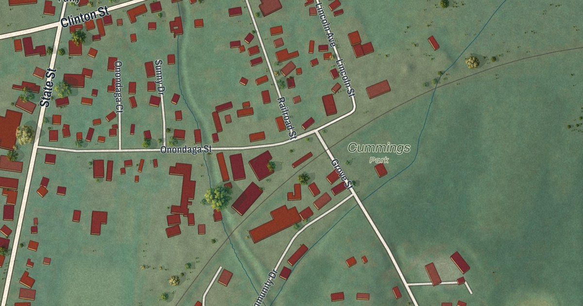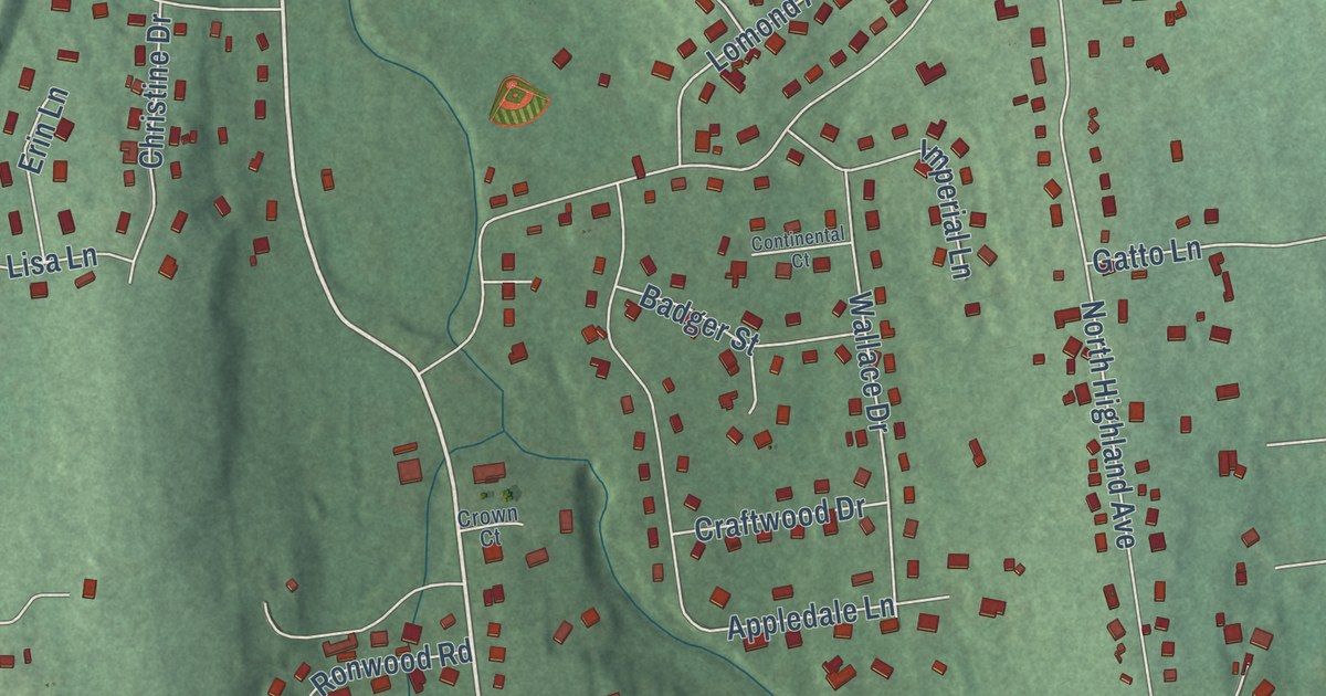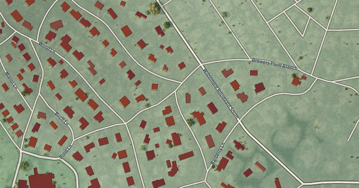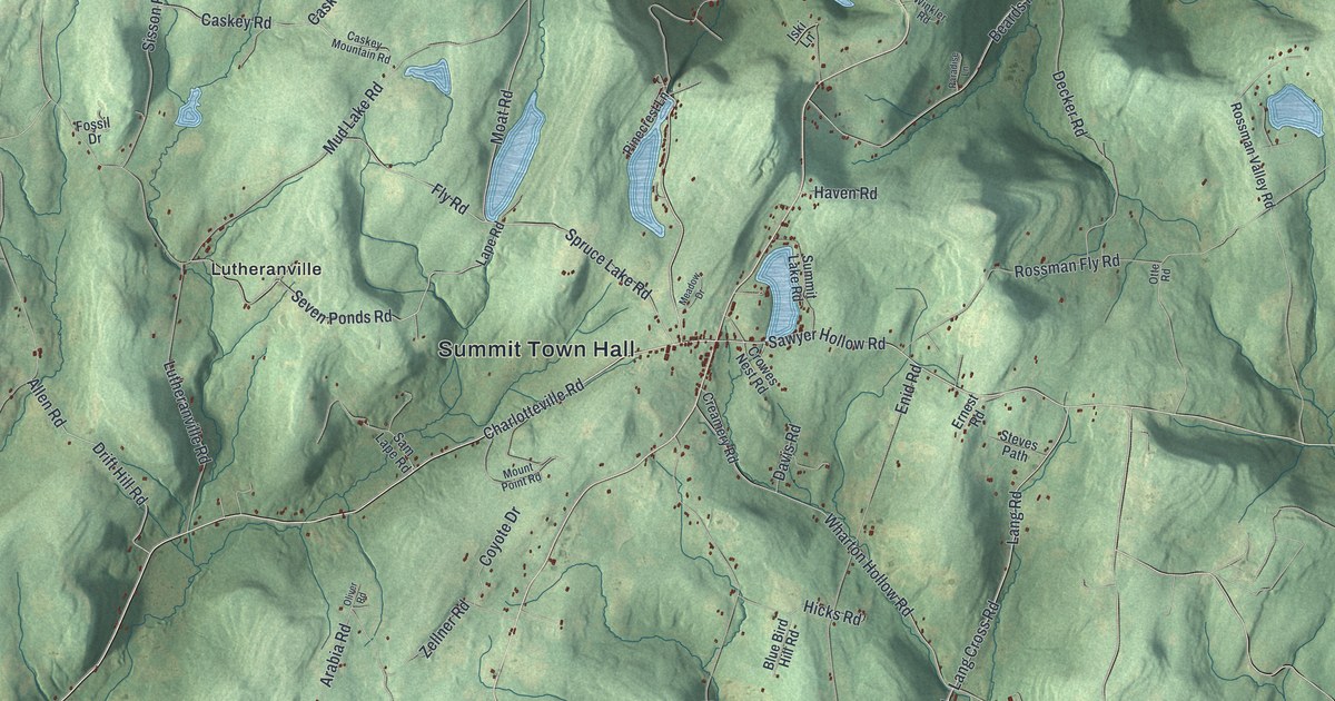
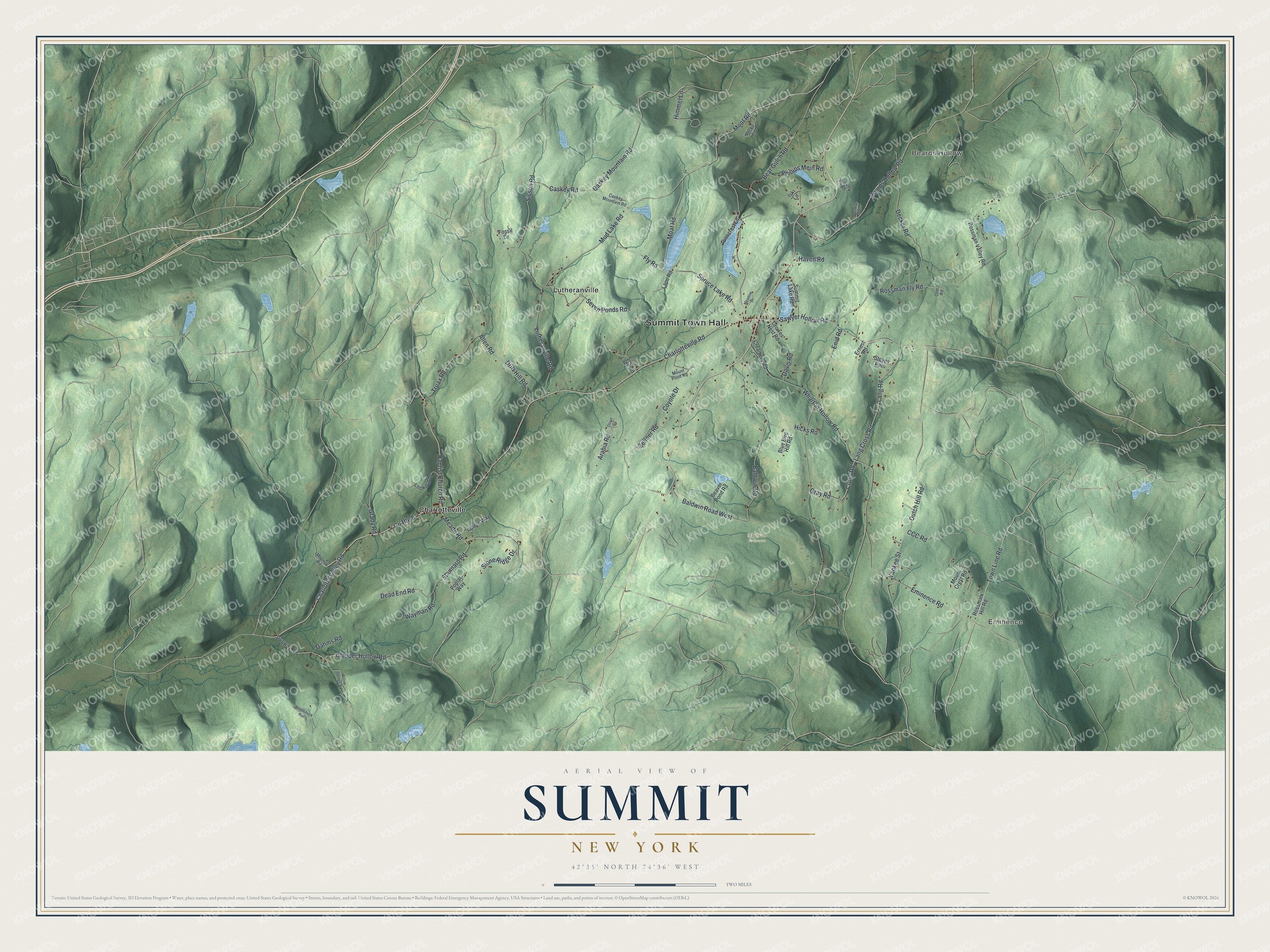
This beautifully detailed map of Summit, New York was created in 2026 using aerial imagery combined with modern topographical, census, street and landmark data. It’s a one-of-a-kind view of Summit that combines accurate data with a vintage aesthetic. The map shows every building in its true location, many of the roads carry their names, and the shaded topographic relief shows the shape of the land.
Explore an aerial view of Summit, New York
On the map you’ll find Summit Town Hall, Eminence, Beards Hollow, Charlotteville, Lutheranville, and Paulson Preserve, along with Moat Road, Town Line Road, Moot Road, Gray Road, and more. If you look closely you can even find your house accurately drawn in its correct location. Zoom in on the preview to look for yours.
Did You Know?
Summit takes its name from Mount Wharton, a peak once believed to be the highest point in Schoharie County. The first settlers arrived around 1794, after the Revolution ended. The town was created in 1819 from parts of Jefferson and Cobleskill.
Take a closer look at the Summit map
Names on this map
These names are printed on this map.
Places: Summit Town Hall, Eminence, Beards Hollow, Paulson Preserve, Charlotteville and Lutheranville.
Streets and roads: Charlotte Valley Road, Moat Road, Town Line Road, Moot Road, County Route 6, Gray Road, Charlotteville Road, Baptist Church Road, Lang Cross Road, Cross Road, Clapper Hollow Road, Lang Road.
More street names, A to Z
Adlers Way, Allen Road, Arabia Road, Baldwin Road, Baldwin Road West, Beards Hollow Road, Bear Gulch Road, Beaver Pond Road, Blue Bird Hill Road, Caskey Mountain Road, Caskey Road, CCC Road, Coyote Drive, Creamery Road, Crowes Nest Road, Dahms Road, Davis Road, Dead End Road, Decker Road, Drift Hill Road, Dugway Road, Dutch Hill Road, Eminence Road, Enid Road, Ernest Road, Fly Road, Fossil Drive, Grady Road, Haven Road, Hicks Road, Himmel Lane, Iski Lane, Lape Road, Lookout Drive, Lutheranville Road, Meade Road, Meadow Drive, Mooney Road, Mount Crest Road, Mount Point Road, Mud Lake Road, Oliver Road, Otte Road, Paradise Lane, Pecks Lane, Phillips Mein Road, Pinecrest Lane, Poplar Way, Rossman Fly Road, Rossman Hill Road, Rossman Valley Road, Sam Lape Road, Sawyer Hollow Road, Seven Ponds Road, Sisson Road, Spruce Lake Road, Stannard Road, Steves Path, Stone Ridge Drive, Summit Lake Road, Truax Road, Wayman Road, Wharton Hollow Road, Willow Springs Road, Winkler Road, Woodchuck Run, Yankee Street, Zellner Road.
See it on a wall
The Summit map as a framed print. Swipe for more.


This beautifully detailed map of Summit makes an attractive addition to your office, library, or den, and it can even be used to teach children the geography and history of the area. It also makes a great gift for anyone who grew up in Summit or moved away. When you’re done exploring, click here to get your copy of the Summit map.