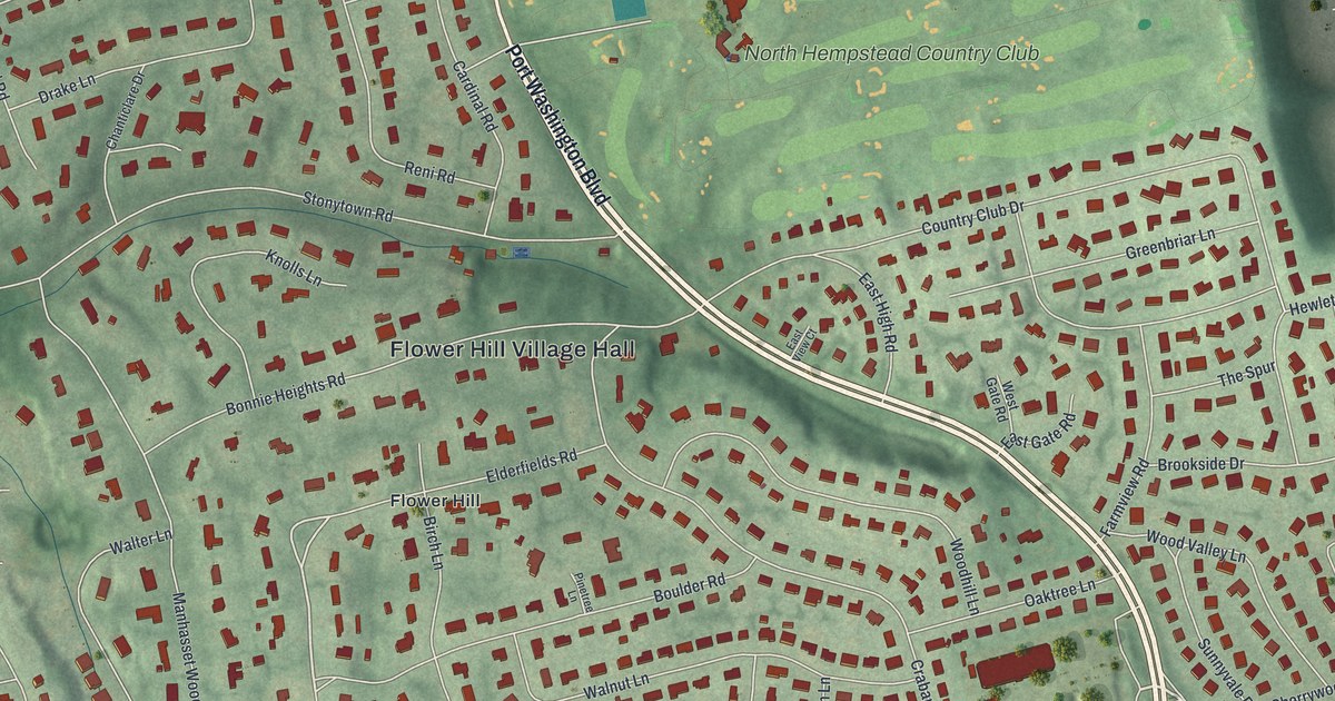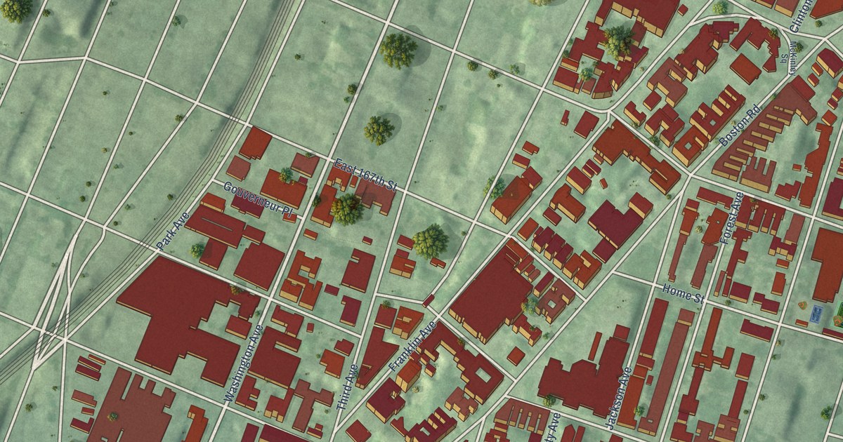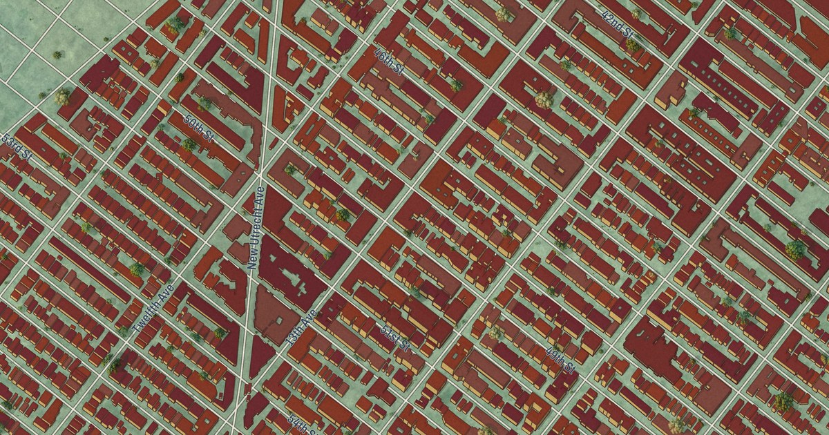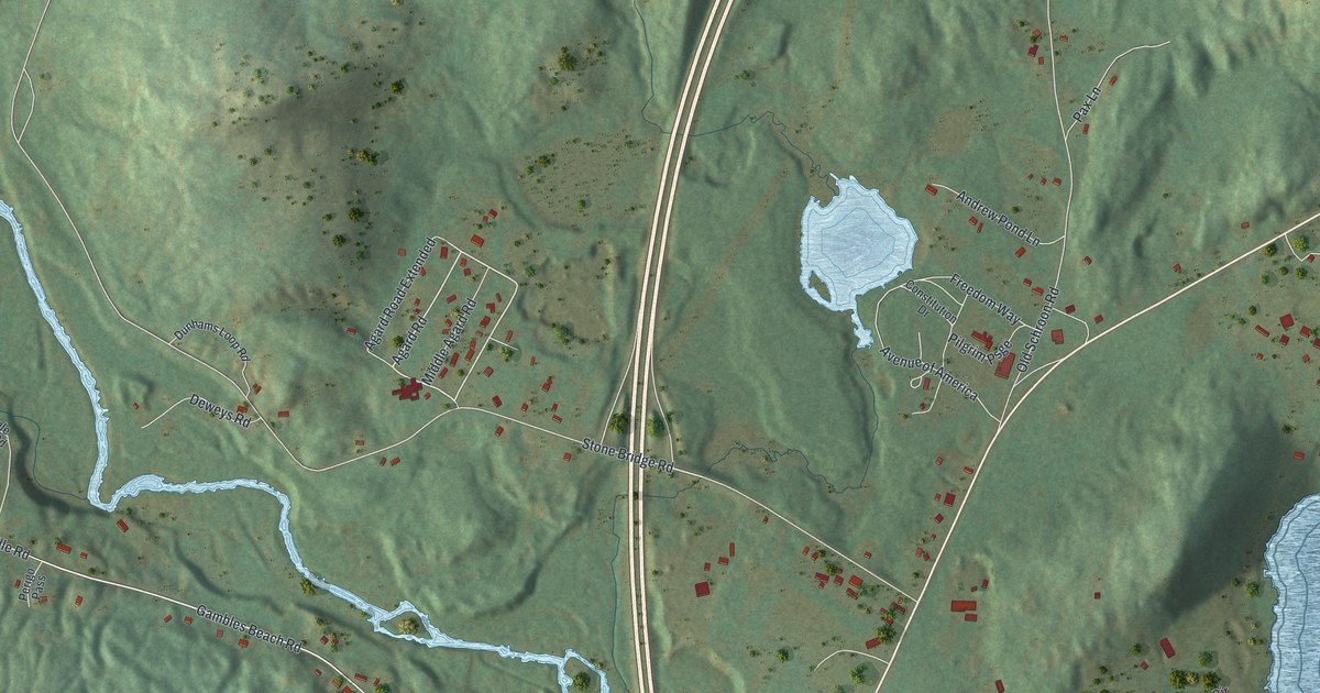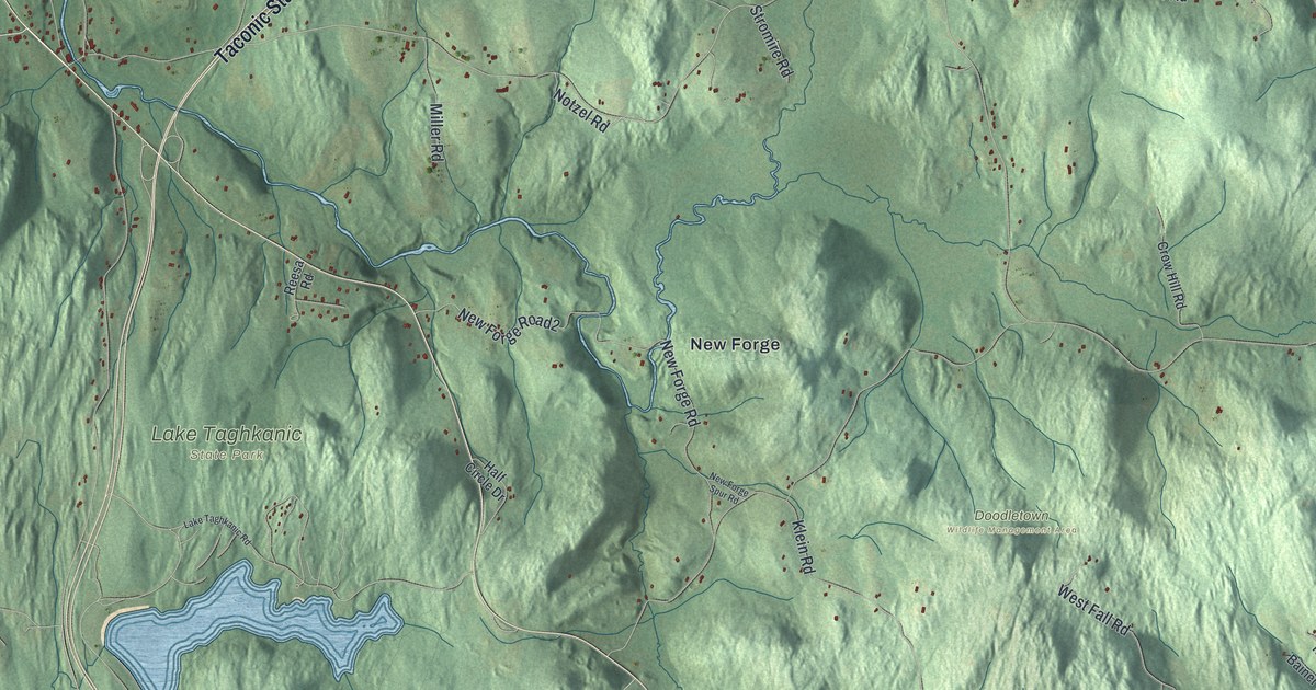
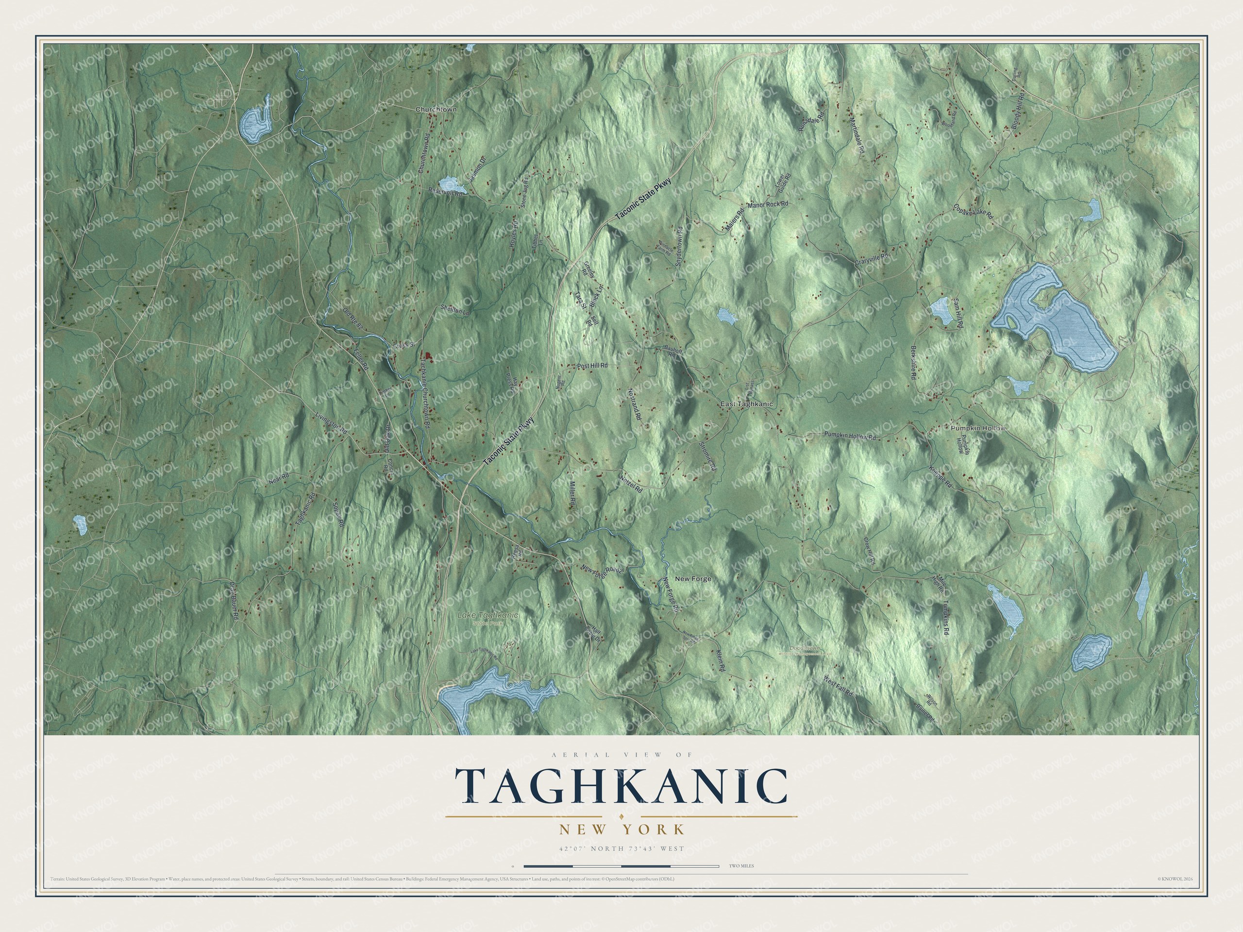
This beautifully detailed map of Taghkanic, New York was created in 2026 using aerial imagery combined with modern topographical, census, street and landmark data. It’s a one-of-a-kind view of Taghkanic that combines accurate data with a vintage aesthetic. The map shows every building in its true location, many of the roads carry their names, and the shaded topographic relief shows the shape of the land.
Explore an aerial view of Taghkanic, New York
On the map you’ll find Pumpkin Hollow, Churchtown, East Taghkanic, New Forge, Doodletown Wildlife Management Area, and Lake Taghkanic State Park, along with Taconic State Parkway, Maiers Road, Churchtown Road, Livingston Road, Old Oak Drive, and more. If you look closely you can even find your house accurately drawn in its correct location. Zoom in on the preview to look for yours.
Did You Know?
Taghkanic is an older way of spelling Taconic. Settlers arrived before 1700, when the land still belonged to Livingston Manor. The town split from Livingston in 1803. At first it was called Granger.
Take a closer look at the Taghkanic map
Names on this map
These names are printed on this map.
Places: Pumpkin Hollow, Doodletown Wildlife Management Area, Lake Taghkanic State Park, Churchtown, East Taghkanic and New Forge.
Streets and roads: Taconic State Parkway, Maiers Road, Churchtown Road, Livingston Road, Old Oak Drive, New Forge Road, Post Hill Road, Taghkanic Road, Martindale Road, Pumpkin Hollow Road, Snydertown Road, Old Route 82.
More street names, A to Z
Bainer Road, Bauhoff Road, Berkshire Road, Block Lane, Bloody Hill Road, Concra Road, Copake Lake Road, Craryville Road, Cross Street, Crow Hill Road, Darling Road, Dran Bauer Road, Feller Road, Greeley Road, Half Circle Drive, Hay Press Road, Hoyles Road, Jasmon Drive, Klein Road, Koeppe Road, Lake Taghkanic Road, List Bypass, Lower Gulde Road, Manor Rock Road, Mile High Road, Miller Road, Near Road, New Forge Road2, New Forge Spur Road, Nostrand Road, Notzel Road, Nugent Road, Pinnacle Farm Road, Reesa Road, Reservoir Road, Ronadale Road, Sam Hill Road, Self Road, Sheldon Lane, Sopok Road, Stone Jug Road, Stromire Road, Tachkanie Churchtown Road, Tara Street, Tibbet Lane, Timber Lane, Tompkins Road, West Fall Road, Wilson Road, Woodland Road.
See it on a wall
The Taghkanic map as a framed print. Swipe for more.


This beautifully detailed map of Taghkanic makes an attractive addition to your office, library, or den, and it can even be used to teach children the geography and history of the area. It also makes a great gift for someone who left Taghkanic and still calls it home. When you’re done exploring, click here to get your copy of the Taghkanic map.