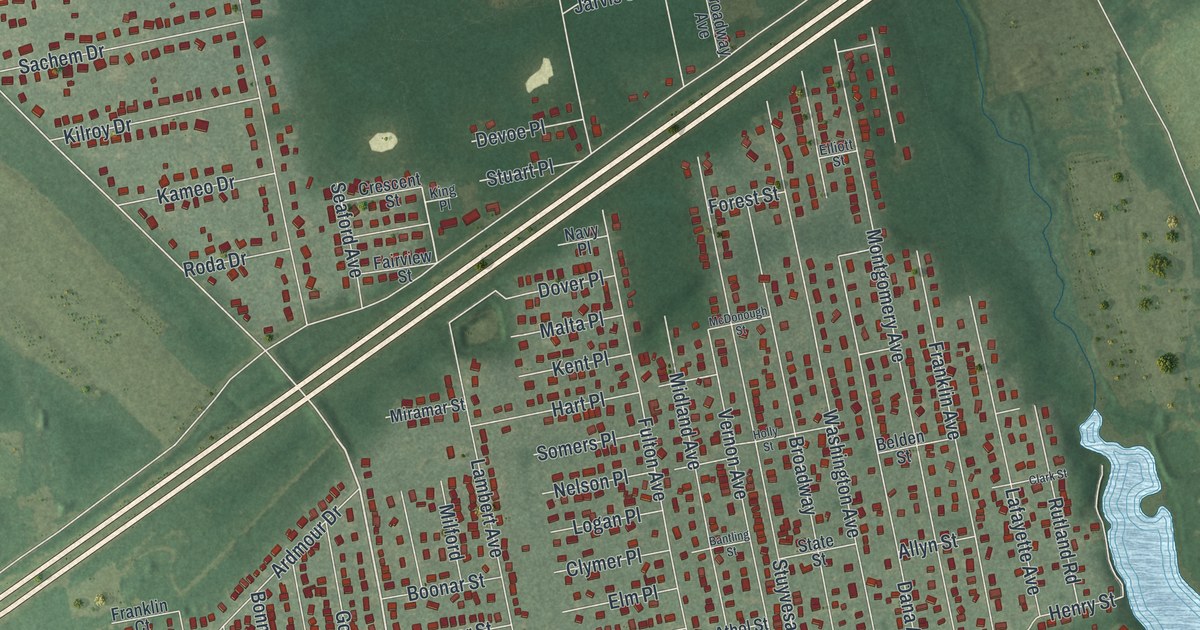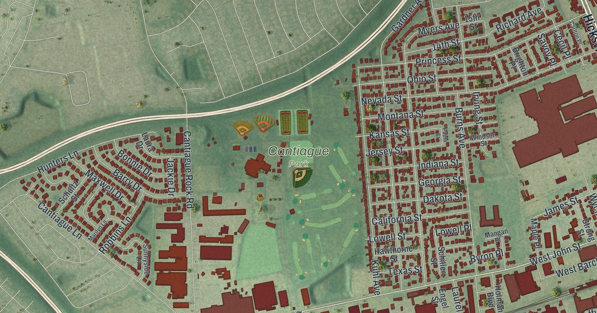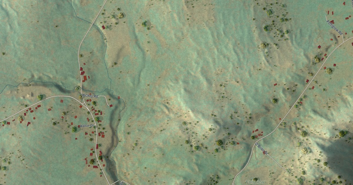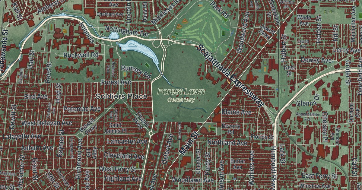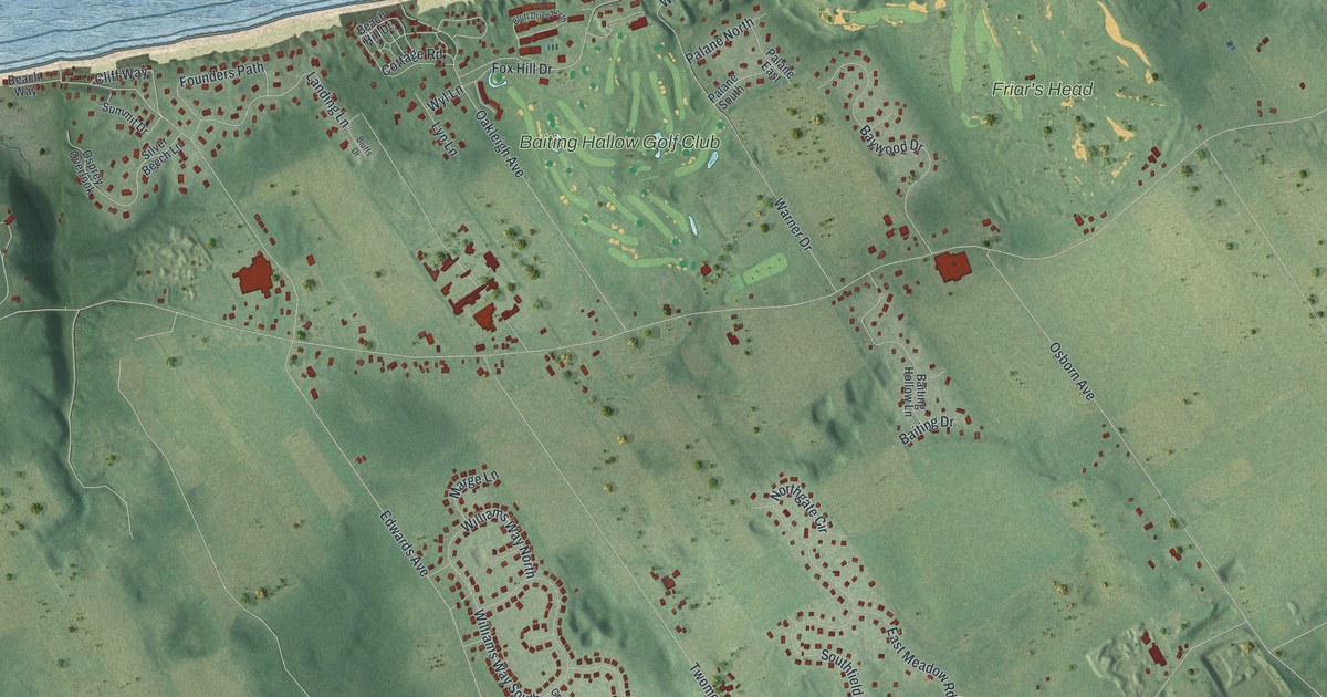
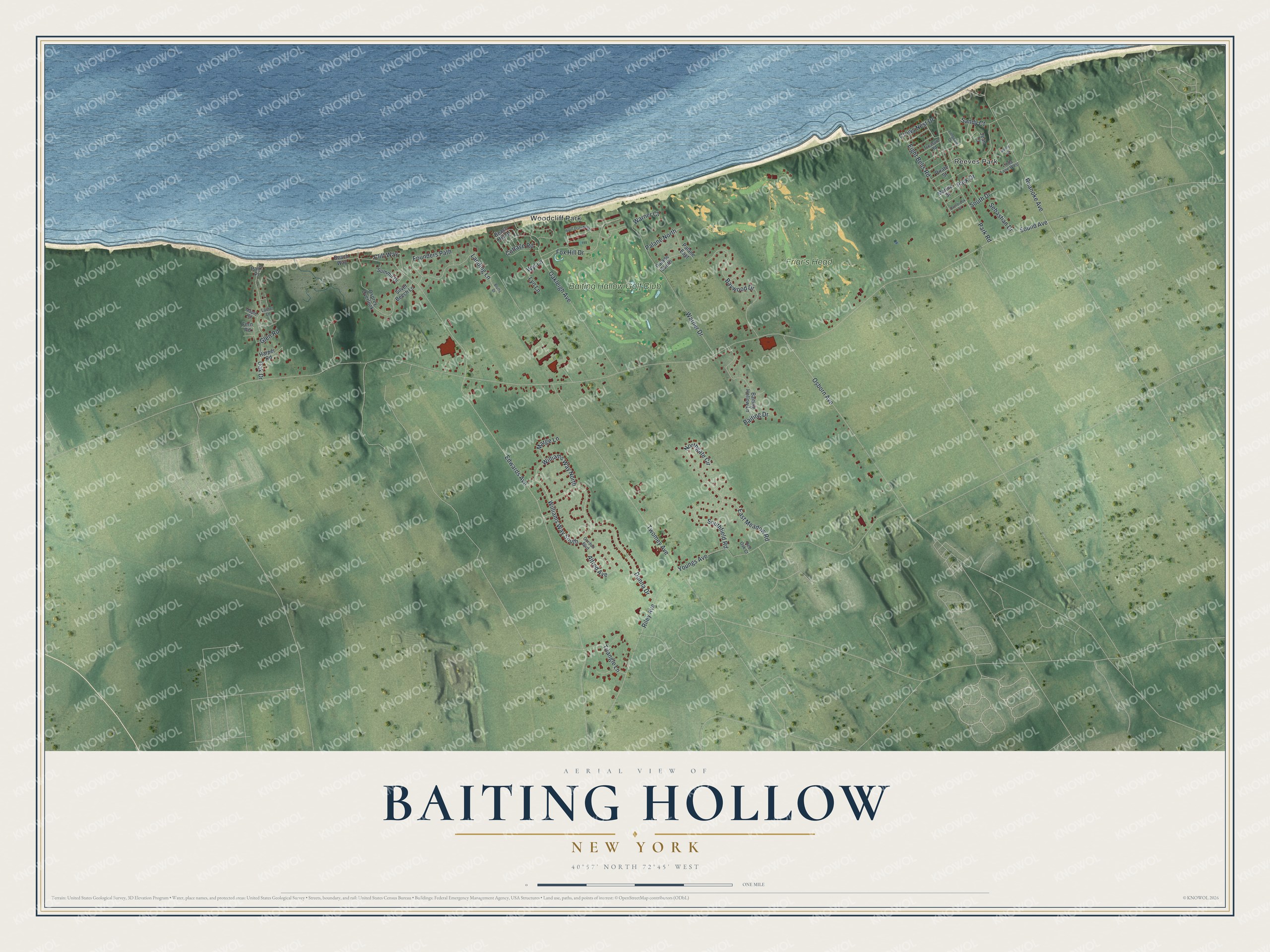
This beautifully detailed map of Baiting Hollow, New York was created in 2026 using aerial imagery combined with modern topographical, census, street and landmark data. It's a modern aerial view of Baiting Hollow in Suffolk County, New York, that combines modern data with a vintage aesthetic. The roads feature printed names, and if you look closely you can find your exact house accurately shown in its correct location.
Explore an aerial view of Baiting Hollow, New York
On this map you'll find Reeves Park, Woodcliff Park, Baiting Hallow Golf Club, Friar's Head, Sound Avenue, Oakleigh Avenue, Edwards Avenue, Youngs Avenue, Twomey Avenue, Osborn Avenue, Roanoke Avenue, Williams Way South, and more. Each red shape is a building, so zoom in on the preview and look for yours.
Every town has a first chapter, and Baiting Hollow is no exception. Baiting Hollow was once called Fresh Pond, and settlement there is thought to have begun as early as 1719. By the 1880s it was a farming place of sixty or more farmhouses scattered for three or four miles along the old north Country road, where people lived by farming and cutting firewood. Its Congregational church was organized in 1792 with seven or eight members. The first meeting house went up in 1803, and the present church was dedicated on March 13, 1862. That's from the History of Suffolk County.
Baiting Hollow is a community in Suffolk County. The Census Bureau counted 2,763 people here in 2020.
Take a closer look at the Baiting Hollow map
Names on this map
These names are printed on this map.
Places: Reeves Park, Woodcliff Park, Baiting Hallow Golf Club and Friar's Head.
Streets and roads: Sound Avenue, Oakleigh Avenue, Edwards Avenue, Youngs Avenue, Twomey Avenue, Osborn Avenue, Roanoke Avenue, Williams Way South, Southfield Road, Baywood Drive, Park Road, Warner Drive.
More street names, A to Z
Alfred Avenue, Baiting Drive, Baiting Hollow Lane, Beach Hill Drive, Beach Way, Bluff Drive North, Bluffs Drive, Cliff Way, Cottage Road, Crows Nest Drive, Donna Drive, East Meadow Road, Eight Bells Road, Fern Road, Founders Path, Fox Hill Drive, Glen Road, Gordon Boulevard, Harper Road, Jean Court, Landing Lane, Laurel Lane, Linda Lane West, Longview Drive, Lyn Lane, Maple Road, Marge Lane, Marine Street, Nancy Court, Northgate Circle, Oak Drive, Osprey Overlook, Overbrook Street, Palane East, Palane North, Palane South, Park Drive, Park Place, Pirate Street, Red Oak Court, Riley Avenue, Sandy Court, Sebastian Drive, Silver Beech Lane, South Drive, Summit Drive, Treasure Road, Triangle Lane, Warner Court, Williams Way North, Wyl Lane.
See it on a wall
The Baiting Hollow map as a framed print. Swipe for more.


Created by KNOWOL in 2026. The buildings are small red shapes, the roads carry their printed names, and shaded relief shows the shape of the land. The title panel reads "AERIAL VIEW OF BAITING HOLLOW, NEW YORK" with 40°57' NORTH 72°45' WEST.
Hang it in the hallway, the office or the cabin, or give it to someone who left Baiting Hollow and still calls it home. Open the preview and look for a street you know. See sizes and frames for the Baiting Hollow map.