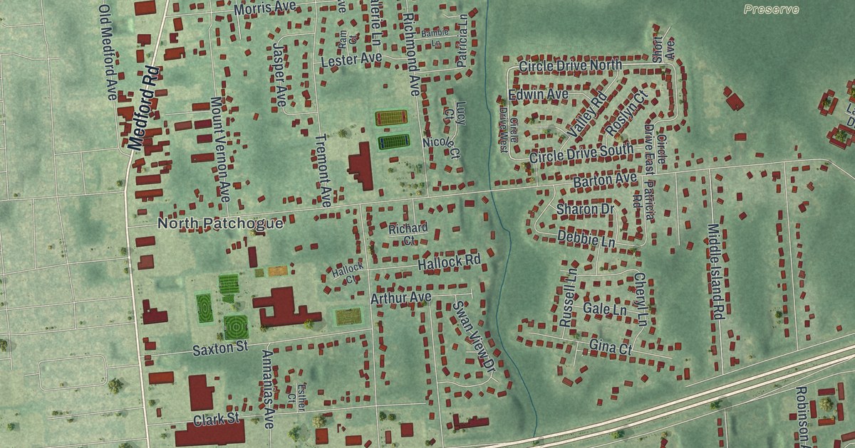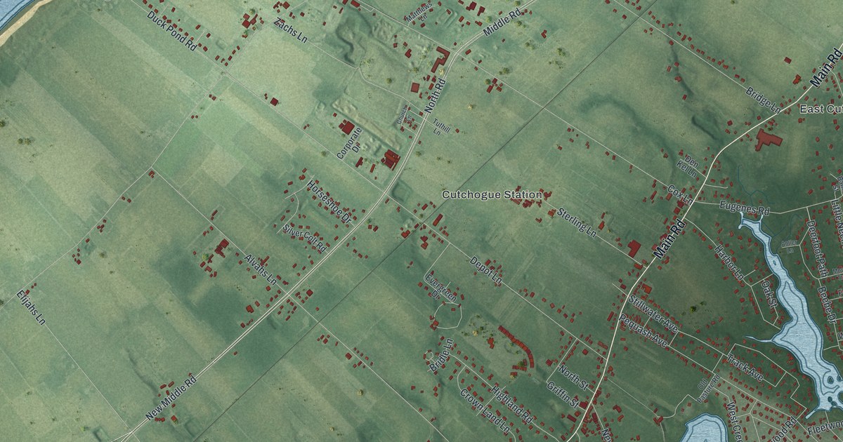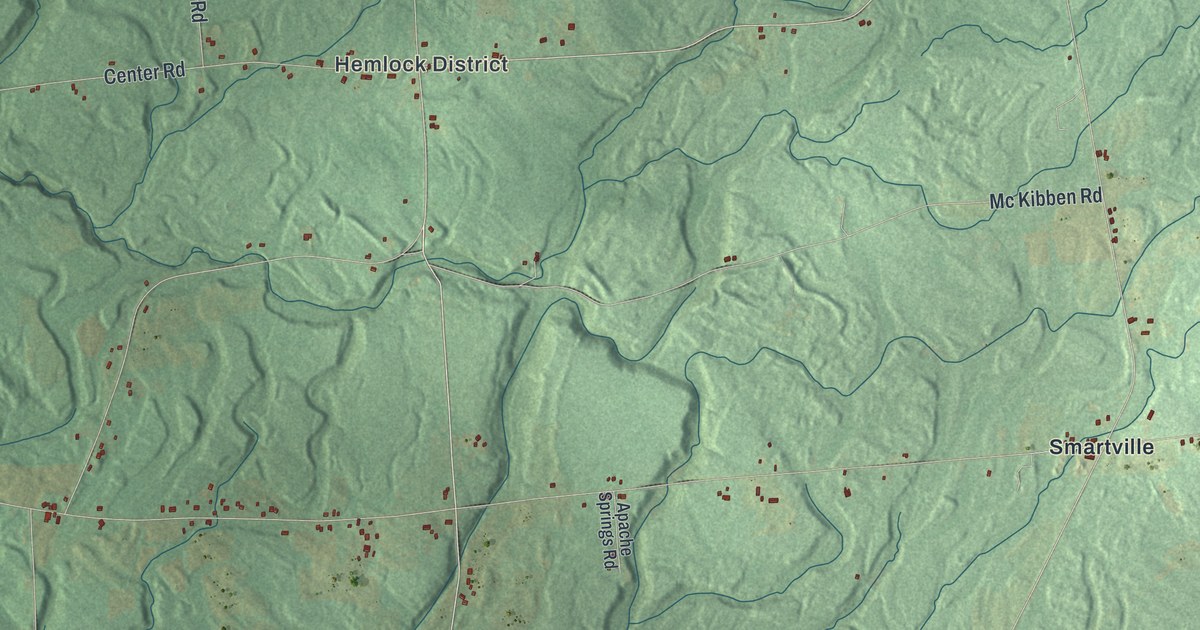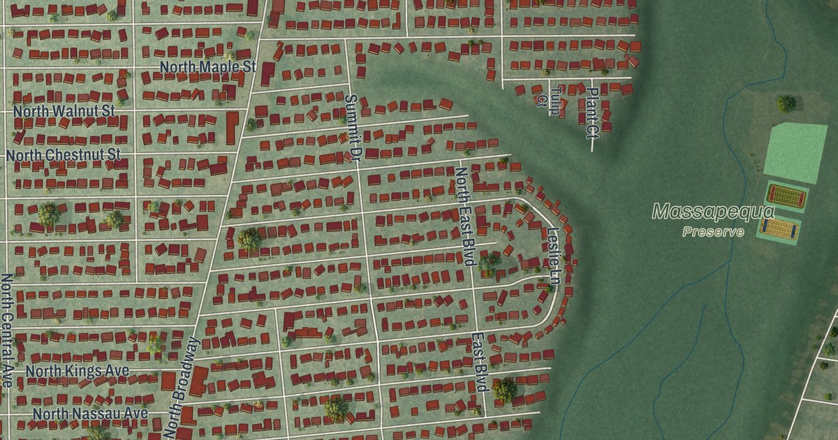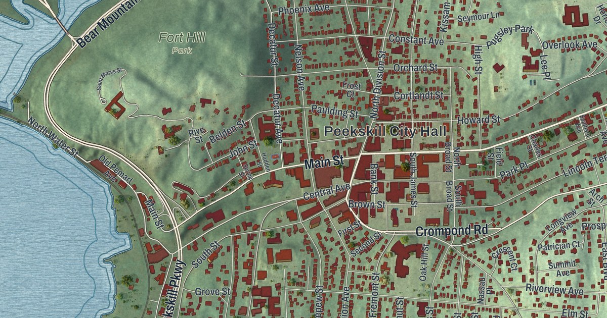
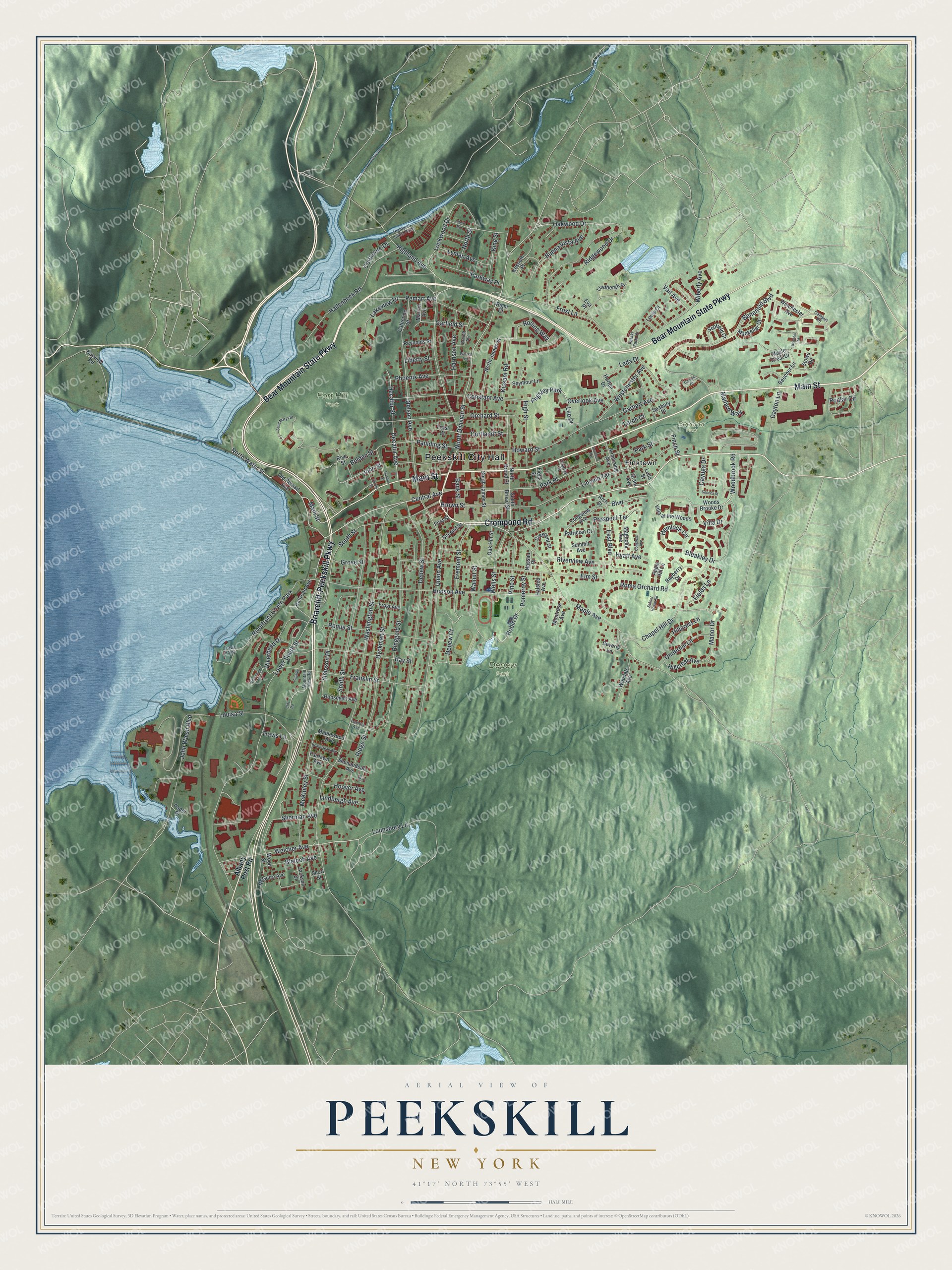
This beautifully detailed map of Peekskill, New York was created in 2026 using aerial imagery combined with modern topographical, census, street and landmark data. It’s a one-of-a-kind view of Peekskill that combines accurate data with a vintage aesthetic. The map shows every building in its true location, many of the roads carry their names, and the shaded topographic relief shows the shape of the land.
Explore an aerial view of Peekskill, New York
On the map you’ll find Peekskill City Hall, Finktown, Beecher Park, Depew Park, and Fort Hill Park, along with Main Street, Bear Mountain State Parkway, Briarcliff-Peekskill Parkway, Crompond Road, and more. If you look closely you can even find your house accurately drawn in its correct location. Zoom in on the preview to look for yours.
Did You Know?
Henry Hudson anchored the Half Moon here in September 1609. His first mate wrote in the log that it looked like a fine spot for a town. Later Jan Peeck of New Amsterdam traded with the Lenape people who lived here. The city’s name joins his surname with kil, the Dutch word for stream.
Take a closer look at the Peekskill map
Names on this map
These names are printed on this map.
Places: Peekskill City Hall, Beecher Park, Depew Park, Fort Hill Park, Finktown, Riverfront Green Park, Pugsley Park and Highland Indust Park.
Streets and roads: Main Street, Bear Mountain State Parkway, Briarcliff-Peekskill Parkway, Crompond Road, North Water Street, Central Avenue, North Division Street, Welcher Avenue, Robin Drive, Prospect Terrace, Woodbrook Road, Garfield Street.
More street names, A to Z
Albany Post Road, Albert Road, Apple Hill Lane, Arch Street, Armstrong Avenue, Bank Street, Bayberry Drive, Bay Street, Bayview Road, Beecher Lane, Beecher Road, Belden Street, Benefield Boulevard, Beverly Lane, Bleakley Drive, Bleloch Avenue, Boulevard, Brandt Avenue, Brown Street, Buena Vista Avenue, Campus Road, Carhart Avenue, Carlton Court, Catherine Street, Cayuga Drive, Chapel Hill Drive, Charles Street, Cliff Road, Congress Avenue, Constant Avenue, Corporate Drive, Cortlandt Street, Crescent Court, Dayton Lane, Decatur Avenue, Decatur Street, Depew Court, Depew Street, Dyckman Street, East Boulevard, Elm Street, Eva Place, Fairlawn Avenue, Fields Lane, Field Street, Finch Street, First Street, Franklin Street, Fremont Street, Frost Avenue, Frost Court, Frost Lane, Grant Avenue, Grove Street, Hadden Street, Hallenbeck Road, Halsted Avenue, Harrison Avenue, Hemlock Circle, Highland Avenue, High Street, Hillcrest Avenue, Hillcrest Lane, Homestead Avenue, Hoover Avenue, Horton Drive, Howard Street, Hudson Avenue, Hyatt Avenue, Jackson Street, John Street, John Walsh Boulevard, King Street, Kissam Road, Kossuth Place, Lakeview Drive, Larch Court, Leda Drive, Lee Place, Leila Street, Liberty Street, Lincoln Terrace, Lindbergh Avenue, Lindbergh Place, Lockwood Drive, Longview Avenue, Loomis Avenue, Louisa Street, Louis Court, Lounsbury Lane, Lower South Street, Lyle Court, Lyman Avenue, Mackellar Court, Magnolia Avenue, Mallard Way, Manor Drive, Maple Avenue, Maple Crest Drive, Maplewood Avenue, Marion Avenue, McGuire Avenue, McKinley Street, Montross Avenue, Mountain View Road, Nassau Place, Nelson Avenue, North Broad Street, North James Street, North Street, Oak Hill Street, Oakwood Drive, Old Pemart Avenue, Orchard Street, Overlook Avenue, Paper Place, Park Place, Park Street, Parkway Place, Pataki Farm Drive, Patrician Court, Paulding Street, Pemart Avenue, Phoenix Avenue, Pine Street, Pomeroy Street, Poplar Circle, Pugsley, Railroad Avenue, Requa Street, Reynolds Street, Ridge Street, Ridgewood Drive, Righi Court, Ringgold Street, Riverbend Drive, Riverview Avenue, Rive Street, Rolling Way, Roma Orchard Road, Roosevelt Avenue, Saint Marys Street, School House Road, Scofield Court, Seabury Place, Second Street, Seneca Street, Seymour Lane, Shenandoah Avenue, Sherman Avenue, Short Street, Simpson Place, Smith Street, Southard Avenue, South Broad Street, South James Street, South Street, Spring Street, Stowe Road, Summit Avenue, Travis Lane, Travis Point, Underhill Lane, Union Avenue, Vail Avenue, Viewpoint Terrace, Villa at the Woods, Villa Drive, Walnut Street, Warren Avenue, Washington Street, Wells Street, Westchester Avenue, Wiberly Avenue, Winchester Avenue, Woodale Avenue, Woods Brooke Drive, Wood Street.
See it on a wall
The Peekskill map as a framed print. Swipe for more.


This beautifully detailed map of Peekskill makes an attractive addition to your office, library, or den, and it can even be used to teach children the geography and history of the area. It also makes a great gift for anyone with Peekskill roots. When you’re done exploring, click here to get your copy of the Peekskill map.