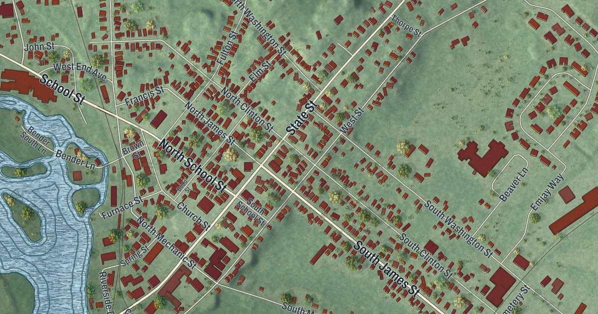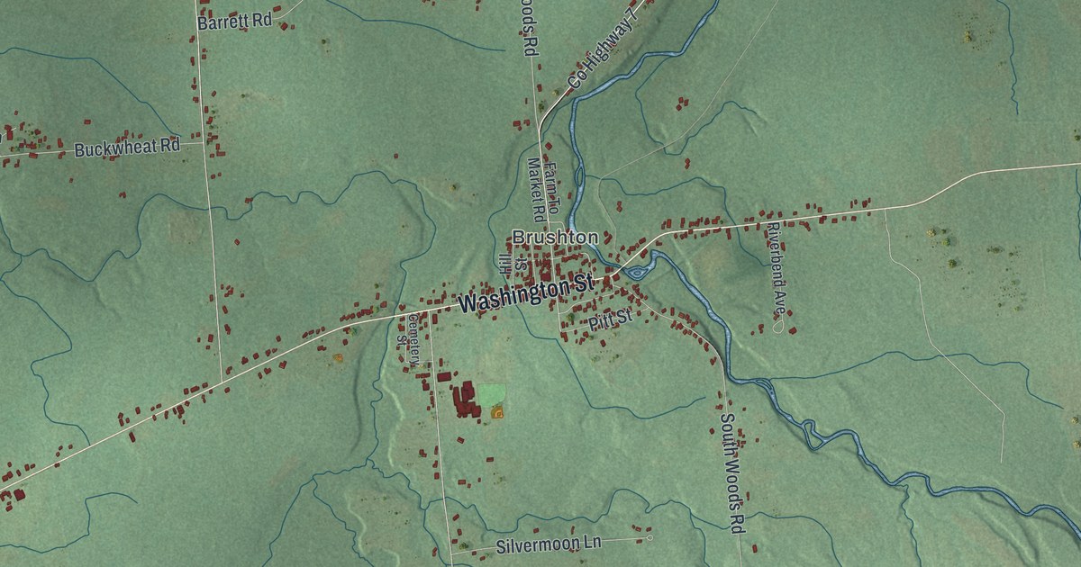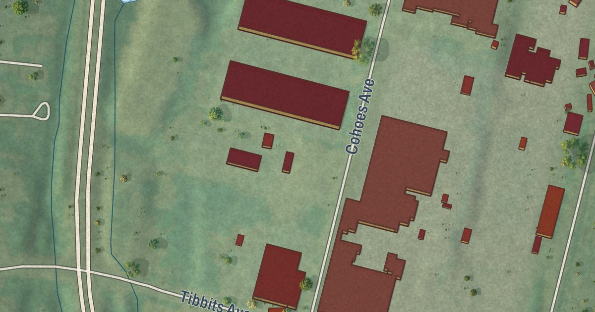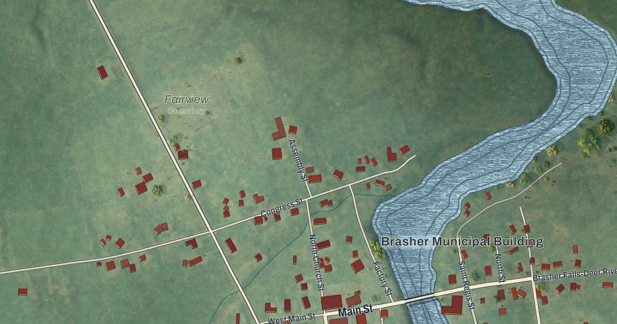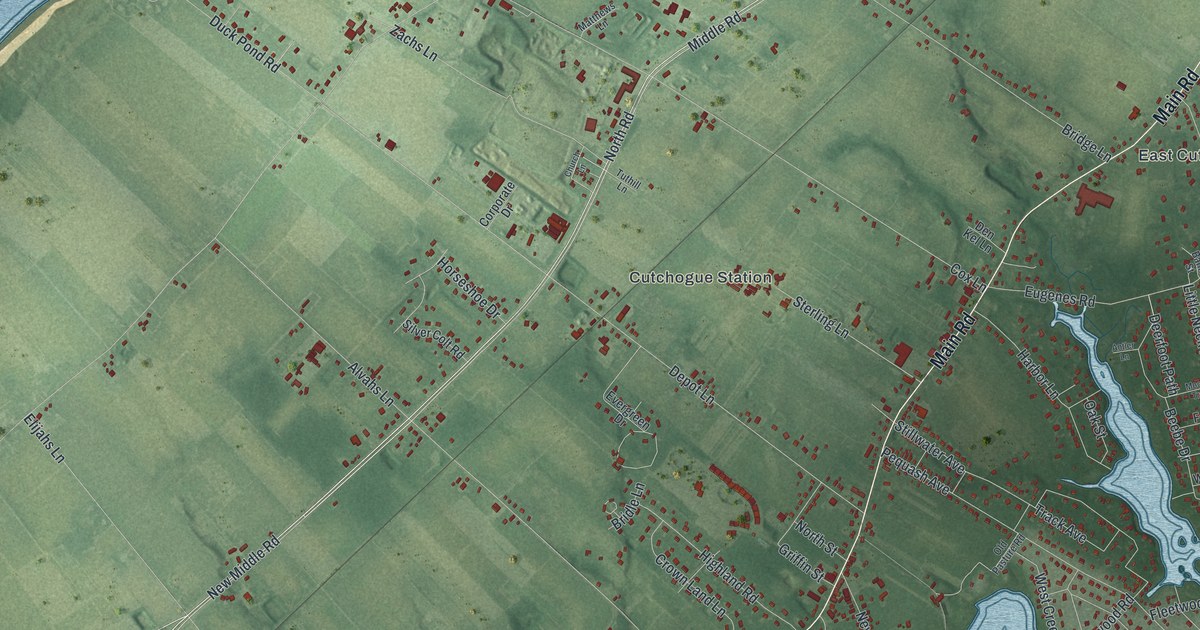
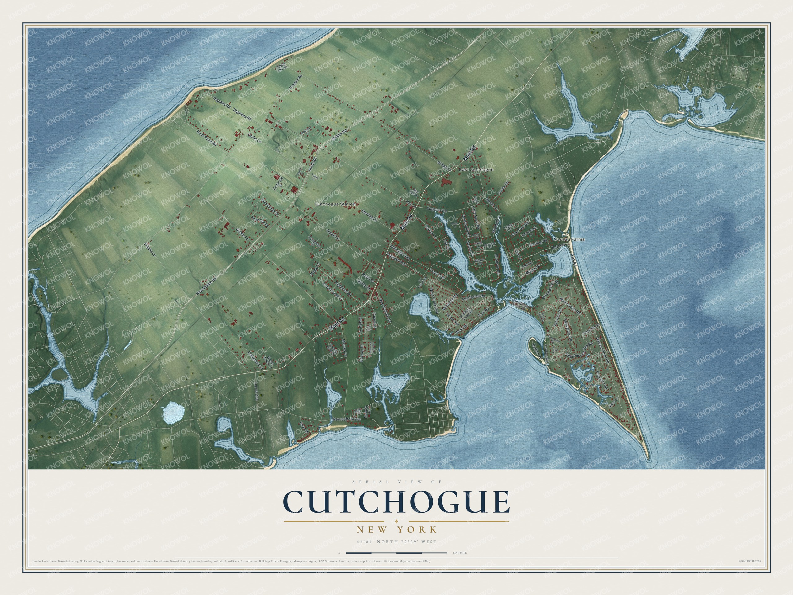
This beautifully detailed map of Cutchogue, New York was created in 2026 using aerial imagery combined with modern topographical, census, street and landmark data. It’s a one-of-a-kind view of Cutchogue that combines accurate data with a vintage aesthetic. The map shows every building in its true location, many of the roads carry their names, and the shaded topographic relief shows the shape of the land.
Explore an aerial view of Cutchogue, New York
On the map you’ll find Nassau Farms, East Cutchogue, and Cutchogue Station, along with Main Road, Bay Avenue, Park Road, Wunneweta Road, Bridge Lane, and more. If you look closely you can even find your house accurately drawn in its correct location. Zoom in on the preview to look for yours.
Did You Know?
Cutchogue’s name comes from an Algonquin word for principal place. Before English settlers arrived in 1640, many Native Americans made their home at Fort Corchaug. The Old House dates to about 1699. No older English-style house stands in the hamlet, and it is now a National Historic Landmark.
Take a closer look at the Cutchogue map
Names on this map
These names are printed on this map.
Places: Nassau Farms, East Cutchogue and Cutchogue Station.
Streets and roads: Main Road, Bay Avenue, Park Road, Wunneweta Road, Bridge Lane, Nassau Point Road, Middle Road, North Road, New Suffolk Avenue, New Middle Road, Oregon Road, Depot Lane.
More street names, A to Z
Aborn Lane, Alvahs Lane, Antler Lane, Banks Street, Bayberry Road, Bay Road, Beebe Drive, Bittersweet Lane, Bridle Lane, Broadwaters Road, Carpenter Road, Cases Lane, Cases Lane Extended, Castle Hill Road, Church Lane, Corporate Drive, Country Club Drive, Cox Lane, Crown Land Lane, Dean Drive, Deerfoot Path, Den Kel Lane, Digmans Road, Dignans Road, Duck Pond Road, East Road, Elijahs Lane, Eugenes Road, Evergreen Drive, Evergreen Lane, Fairway Drive, Fawn Lane, Fishermans Beach Road, Fleetwood Road, Griffin Street, Harbor Lane, Harbor Road, Haywaters Road, Highland Road, Holden Avenue, Horseshoe Drive, Horseshoe Road, Leslie Road, Lilac Lane, Little Neck Road, Little Peconic Bay Road, Locust Avenue, Lowland Road, Lupen Drive, Mason Drive, Matthews Lane, Meadow Lane, Midwood Road, Monsell Lane, Moores Lane, Moose Trail, New Suffolk Road, North Street, Norwood Road, Oak Drive, Oak Street, Old Pasture Road, Path Way, Pequash Avenue, Pine Tree Road, Praity Lane, Silver Colt Road, Skunk Lane, Southern Cross Road, Sterling Lane, Sterling Road, Stillwater Avenue, Strohson Road, Sunset Road, Track Avenue, Tuthill Lane, Vanston Road, Wagon Wheel Lane, West Cove Road, West Creek Avenue, West Road, Wilson Road, Zachs Lane.
See it on a wall
The Cutchogue map as a framed print. Swipe for more.


This beautifully detailed map of Cutchogue makes an attractive addition to your office, library, or den, and it can even be used to teach children the geography and history of the area. It also makes a great gift for someone who left Cutchogue and still calls it home. When you’re done exploring, click here to get your copy of the Cutchogue map.