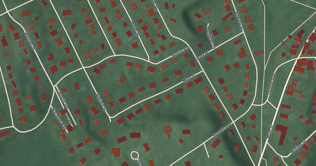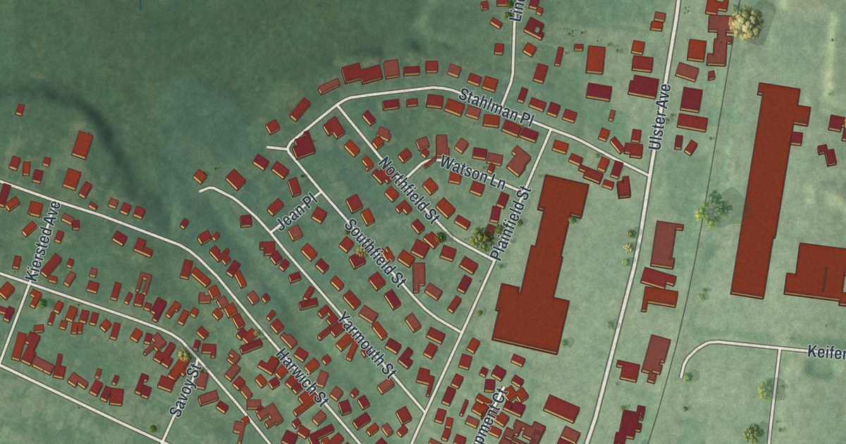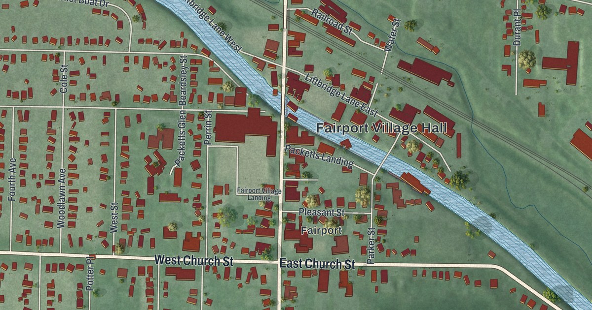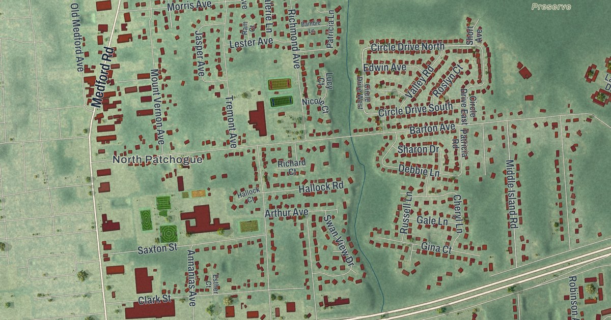
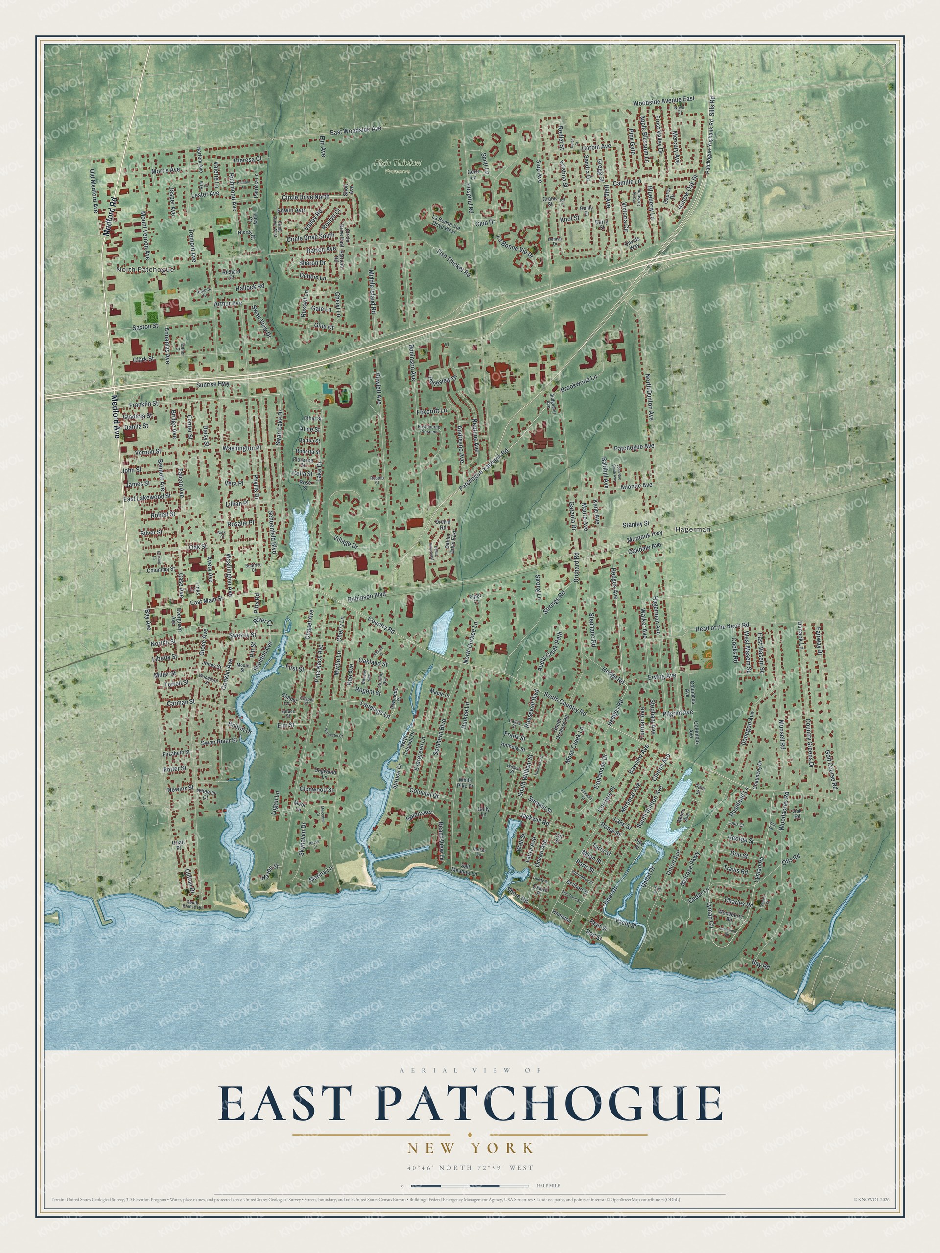
This beautifully detailed map of East Patchogue, New York was created in 2026 using aerial imagery combined with modern topographical, census, street and landmark data. It’s a one-of-a-kind view of East Patchogue that combines accurate data with a vintage aesthetic. The map shows every building in its true location, many of the roads carry their names, and the shaded topographic relief shows the shape of the land.
Explore an aerial view of East Patchogue, New York
On the map you’ll find North Patchogue, Hagerman, and Fish Thicket Preserve, along with Medford Road, Medford Avenue, Sills Road, Patchogue Yaphank Road, Lyman Road, and more. If you look closely you can even find your house accurately drawn in its correct location. Zoom in on the preview to look for yours.
Take a closer look at the East Patchogue map
Names on this map
These names are printed on this map.
Places: North Patchogue, Hagerman and Fish Thicket Preserve.
Streets and roads: Medford Road, Medford Avenue, Sills Road, Patchogue Yaphank Road, Lyman Road, Hedges Avenue, Tiber Drive, Circle Drive North, Hedges Road, Landings Lane, Lyman Circle, Franklin Street.
More street names, A to Z
Abets Creek Path, Alice Street, Andreano Avenue, Annanias Avenue, Anthony Street, Apple Blossom Lane, Arthur Avenue, Atlantic Avenue, Autumn Court, Avery Avenue, Baldhill Avenue, Bambie Lane, Barton Avenue, Bay Avenue, Bay Road, Bayview Avenue, Beach View Lane, Beatrice Court, Beck Court, Bellport Street, Bennett Avenue, Bertha Street, Beverly Avenue, Blueberry Lane, Blue Point Street, Bolton Drive, Bridge Avenue, Bridgeport Avenue, Brookwood Lane, Camille Lane, Carman Street, Case Avenue, Castle Street, Cedar Lane, Celia Street, Center Street, Chapel Avenue, Chapel Lane, Chapel Place, Charles Court, Charles Road, Chauncey Drive, Cherry Lane, Cheryl Lane, Circle Drive East, Circle Drive South, Circle Drive West, Clark Street, Clifton Drive, Clinton Avenue, Club Drive, Colombus Avenue, Colonial Drive, Columbia Street, Columbus Avenue, Columbus Street, Conklin Avenue, Cooks Road, Corbin Avenue, Corriere Place, Country Greens Drive, Country Road, Crane Street, Dahlia Drive East, Dahlia Drive West, Dahlia Street, Daisy Street, Davids Way, Debbie Lane, Denise Drive, Densing Lane, Derry Street, Dogwood Lane, Donack Lane, Donegan Avenue, Don Street, Durkee Lane, Dutch Court, Eastbourne Crescent, East Lakewood Street, East Main Street, East Masem Square, East Woodside Avenue, Edwin Avenue, Elizabeth Street, Elm Avenue, Elm Road, Elm Street, Erving Avenue, Esplanade Drive, Esther Court, Ethel Street, Evergreen Avenue, Evergreen Lane, Fairway Drive, Falcon Avenue, First Street, Fish Thicket Road, Florence Street, Foxcroft Lane, Frank Street, Frost Valley Drive, Furman Avenue, Gale Lane, Gazzola Drive, George Street, Gerri Lane, Gina Court, Gladiola Street, Glenwood Street, Golf Course Road, Gregg Street, Grove Avenue, Gwynedo Court, Hagerman Avenue, Haig Avenue, Hallock Court, Hallock Road, Hampton, Harlem Avenue, Haven Street, Head of the Neck Road, Hedge Road, Hewlett Avenue, Hollow Oak Drive, Holly Lane, Hospital Road, Jackwill Road, James Street, Jasper Avenue, Jeff Court, John Roe Smith Avenue, John Street, Jones Street, Kane Avenue, Knot Street, Kristina Street, La Bonne Vie Drive, La Bonne Vie Drive West, Lake Drive, Lake Street, Laura Avenue, Lester Avenue, Liberty Place, Liberty Street, Lillian Place, Links Court, Litt Street, Logan Lane, Louis Court, Lucy Court, Maple Avenue, Maple Drive, Marie Crescent, Marina Lane, Maure Avenue, Melrose Parkway, Mercedes Court, Mercury Avenue, Middle Island Road, Milan Street, Miller Street, Miramar Avenue, Montauk Highway, Moore Street, Moor Lane, Morris Avenue, Moss Creek Lane, Mount Vernon Avenue, Munsell Road, Myrtle Lane, Neptune Avenue, Newins Street, Nicole Court, North Colonial Drive, North Dunton Avenue, North Durkee Lane, Norton Street, Nova Court, Oakdale Avenue, Oakland Street, Oak Road, Oak Street, Ocean Avenue, Old Medford Avenue, Orchard Road, Orchid Road, Osprey Drive, Otis Road, Oxford Place, Paris Street, Parker Lane, Patchogue-Yaphank Road, Patchogue Avenue, Patricia Lane, Patricia Road, Phyllis Drive, Pike Street, Pilgrim Avenue, Pine Gate, Pine Neck Avenue, Pine Street, Piper Court, Pitts Road, Pitt Street, Pondview Drive, Potter Street, Ram Court, Redlef Street, Reel Street, Regent Street, Reilly Drive, Rezso Court, Richard Court, Richmond Avenue, River Court, Roberta Street, Robert Street, Robinson Avenue, Robinson Boulevard, Rod Street, Roe Avenue, Rome Street, Roosevelt Boulevard, Rosalie Place, Roseland Lane, Rose Street, Roslyn Court, Rupolo Court, Russell Lane, Salt Meadow Lane, Sandra Drive, Saxton Street, Schoenfeld Boulevard, Scott Lane, Sharon Drive, Sheldon Avenue, Shore Road, Short Avenue, Silver Street, Sipp Avenue, Skyhaven Drive, South Breeze Drive, South Country Road, South Dunton Avenue, Southern Boulevard, South Orchard Road, South William Street, Southwind Road, Spinnaker, Spruce Drive, Spruce Street, Stanley Street, Stephani Avenue, Stephano Road, Sterling Avenue, Strong Lane, Strongs Road, Summit Street, Sunrise Highway, Swan Lake Drive, Swan River Street, Swan View Drive, Swezey Street, Terrell Street, Theresa Court, Thompson Street, Travis Road, Tremont Avenue, Trout Street, Turin Street, Union Avenue, Union Drive, Uriah Place, Valencia Court, Valerie Lane, Valley Road, Vera Place, Vernon Street, Victoria Circle, Village Drive, Walker Avenue, Wall Street, Washington Avenue, Washington Place, West Masem Square, Wheeler Court, White Pike Drive, Wilson Street, Woodacres Road, Woodberry Road, Woodburn Street, Woodside Avenue East, Worcester Court, Yacht Street.
See it on a wall
The East Patchogue map as a framed print. Swipe for more.


This beautifully detailed map of East Patchogue makes an attractive addition to your office, library, or den, and it can even be used to teach children the geography and history of the area. It also makes a great gift for anyone with East Patchogue roots. When you’re done exploring, click here to get your copy of the East Patchogue map.