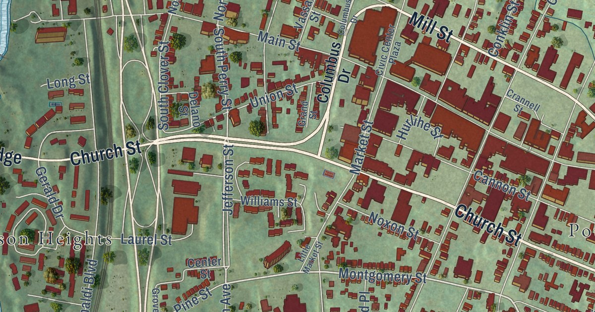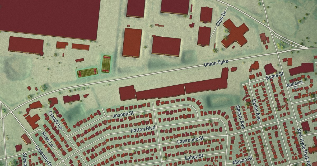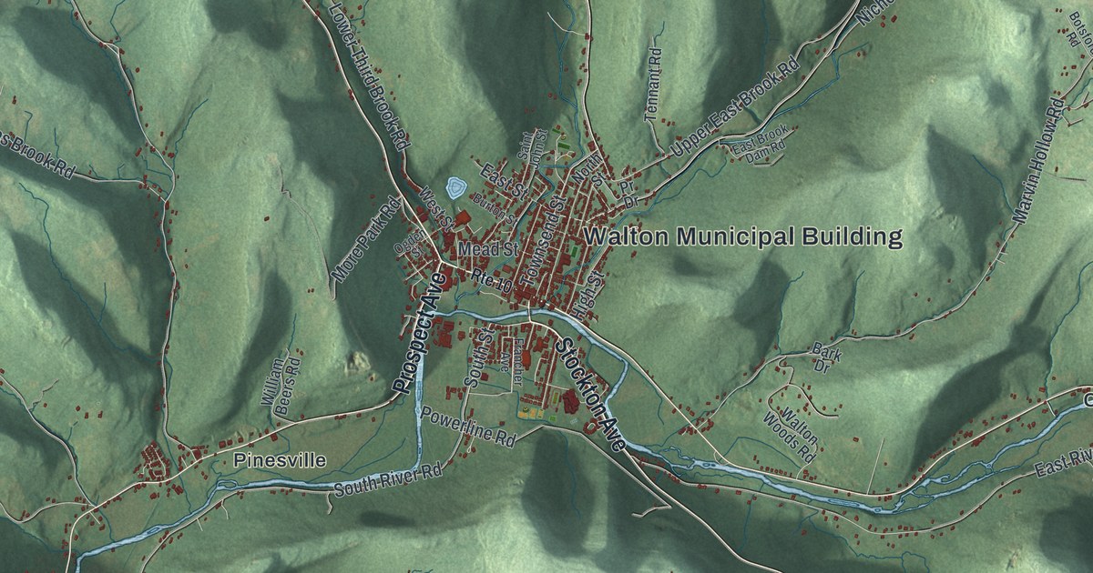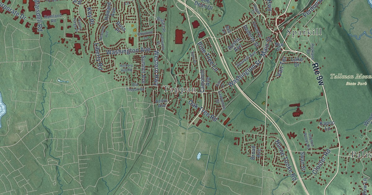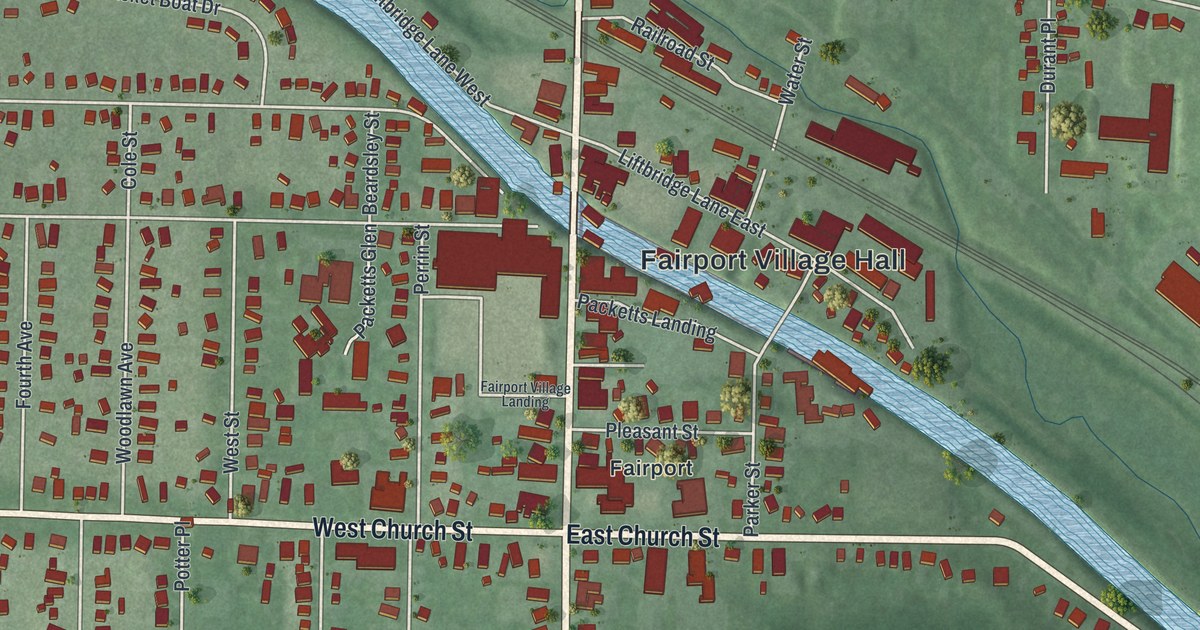
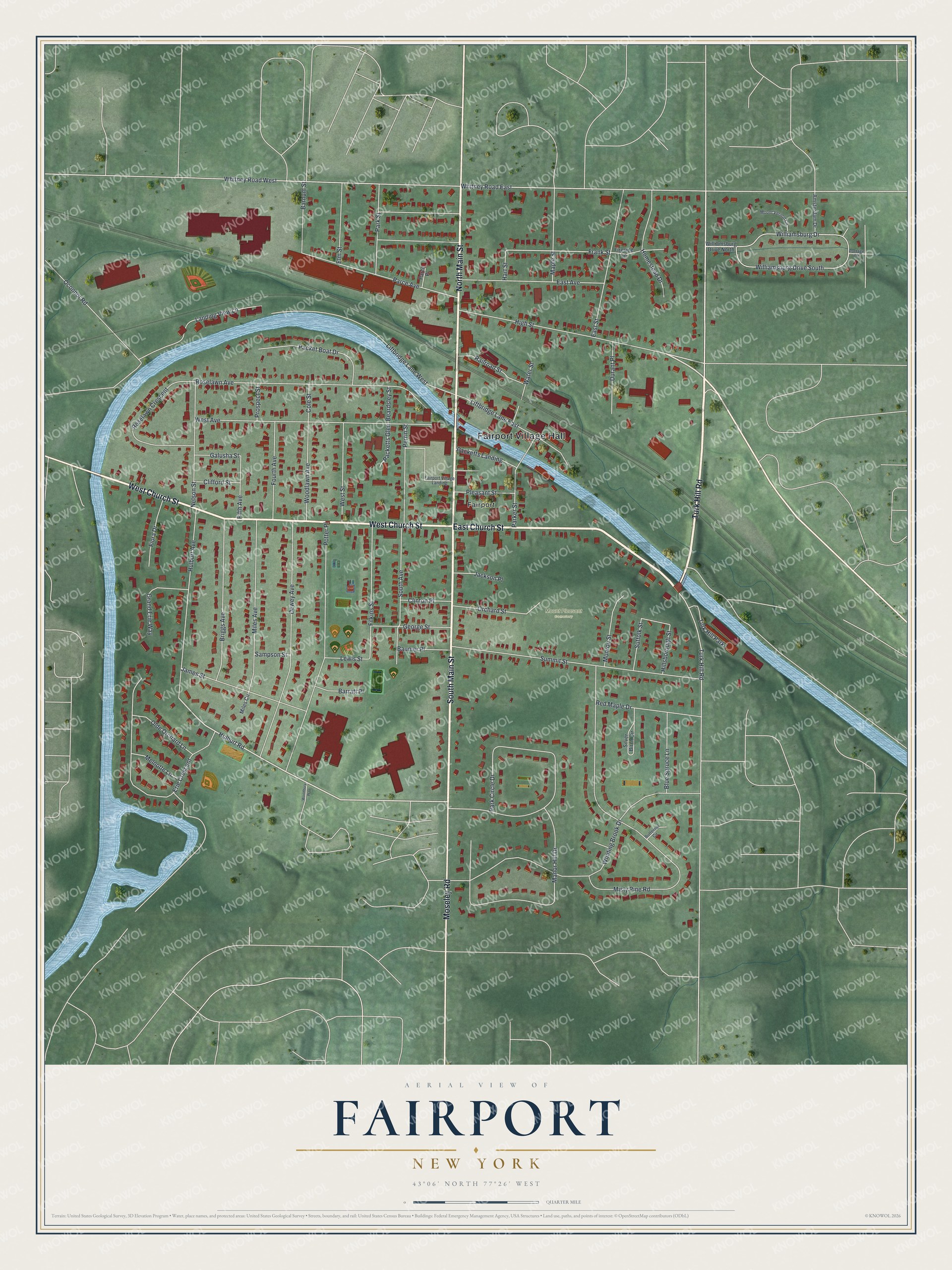
This beautifully detailed map of Fairport, New York was created in 2026 using aerial imagery combined with modern topographical, census, street and landmark data. It’s a one-of-a-kind view of Fairport that combines accurate data with a vintage aesthetic. The map shows every building in its true location, many of the roads carry their names, and the shaded topographic relief shows the shape of the land.
Explore an aerial view of Fairport, New York
On the map you’ll find Fairport Village Hall and Mount Pleasant Cemetery, along with East Church Street, Turk Hill Road, South Main Street, North Main Street, West Church Street, Moseley Road, High Street, Hulburt Road, Frank Street, and more. If you look closely you can even find your house accurately drawn in its correct location. Zoom in on the preview to look for yours.
Did You Know?
Fairport was a swamp until the Erie Canal drained it in the 1820s. The settlement, then called Perrinsville, quickly grew into a busy canal port. In the mid-1800s, a canal traveler at Mallett’s Tavern was overheard calling the village a fair port. The name stuck.
Take a closer look at the Fairport map
Names on this map
These names are printed on this map.
Places: Fairport Village Hall, Mount Pleasant Cemetery, Fairport and Turk Hill Park.
Streets and roads: East Church Street, Turk Hill Road, South Main Street, North Main Street, West Church Street, Moseley Road, High Street, Hulburt Road, Frank Street, Whitney Road East, Misty Pine Road, Winding Brook Drive.
More street names, A to Z
Amsterdam Drive, Barnum Street, Barratt Place, Baumer Place, Beardsley Street, Blue Spruce Lane, Briggs Avenue, Butternut Circle, Clifford Street, Clinton Place, Cole Street, Dewey Avenue, Durant Place, East Avenue, East Street, Elm Street, Erie Crescent, Fairport Village Landing, Fifth Avenue, Filkins Street, Fiora Drive, Fireside Lane, Fourth Avenue, Galusha Street, George Street, Grand Erie Way, Hart Street, Hillsborough Street, Homestead Drive, Hulburt Avenue, Jackson Place, James Street, Landing View Lane, Lewis Street, Liftbridge Lane East, Liftbridge Lane West, Manor Hill Drive, Maple Street, Melnotte Lane, Miles Avenue, Miles Circle, Monroe Street, Mount Vernon Circle, Nelson Street, Oconnor Road, Olde Orchard Lane, Orchard Street, Packet Boat Drive, Packetts Glen, Packetts Landing, Parce Avenue, Parce Place, Park Circle Drive, Parker Street, Park Street, Perrin Street, Pleasant Street, Portage Circle, Potter Place, Prospect Street, Railroad Street, Red Maple Drive, Roselawn Avenue, Roselawn Crescent, Sampson Street, Silver Birch Circle, South Avenue, Suffolk Street, Summit Street, Water Street, West Avenue, West Street, Whitney Road West, Williamsburg Drive, Williamsburg Drive North, Williamsburg Drive South, Woodbury Way, Woodlawn Avenue.
See it on a wall
The Fairport map as a framed print. Swipe for more.


This beautifully detailed map of Fairport makes an attractive addition to your office, library, or den, and it can even be used to teach children the geography and history of the area. It also makes a great gift for anyone who grew up in Fairport or moved away. When you’re done exploring, click here to get your copy of the Fairport map.