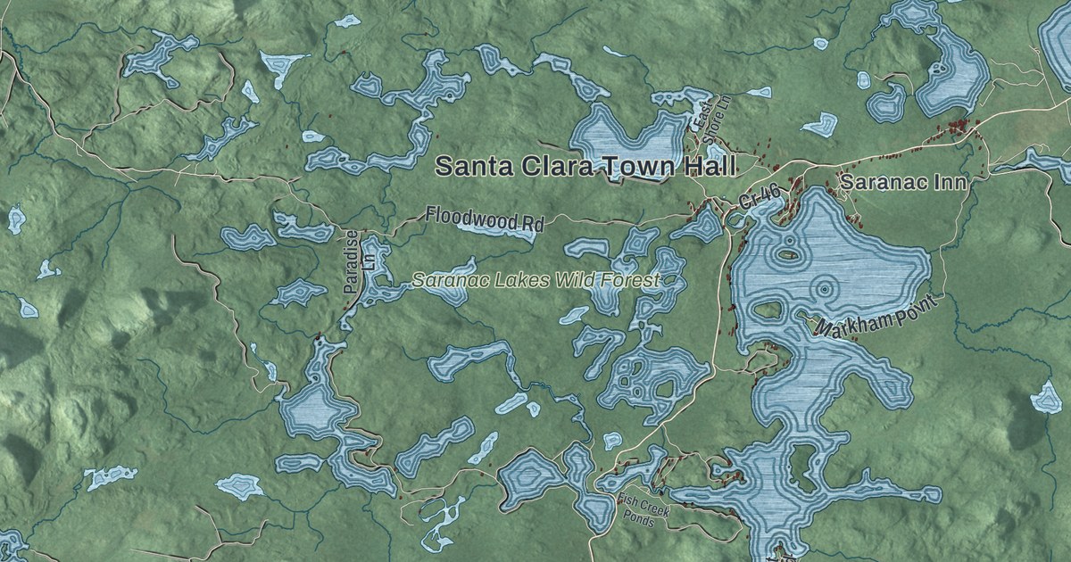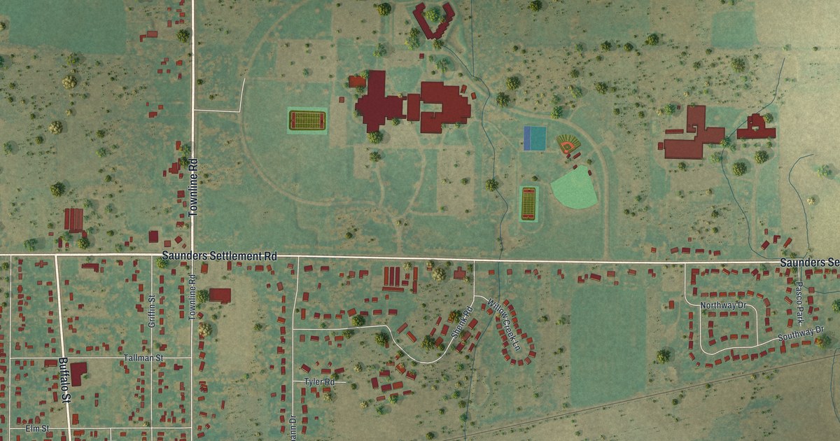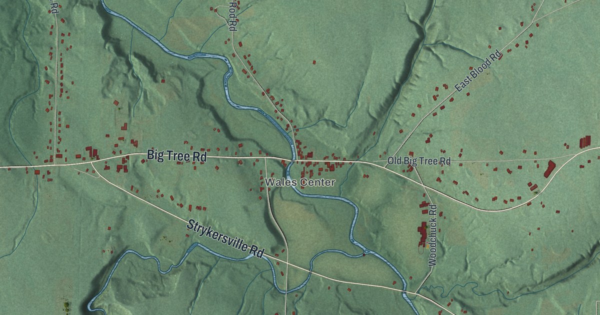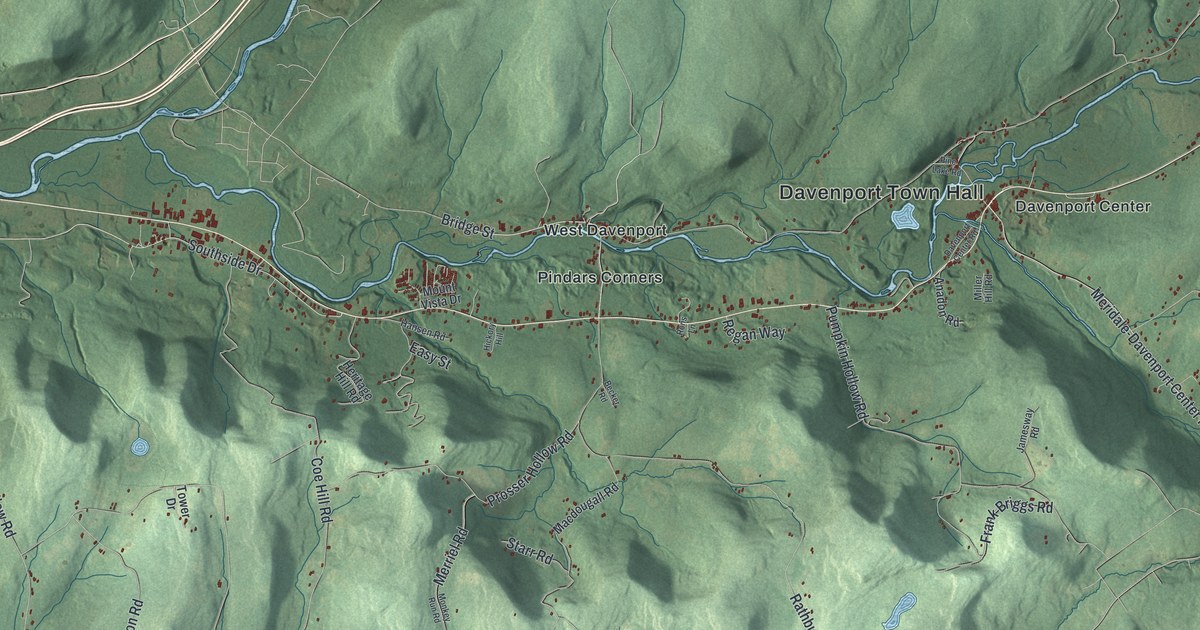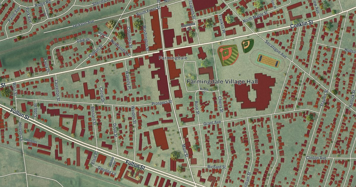
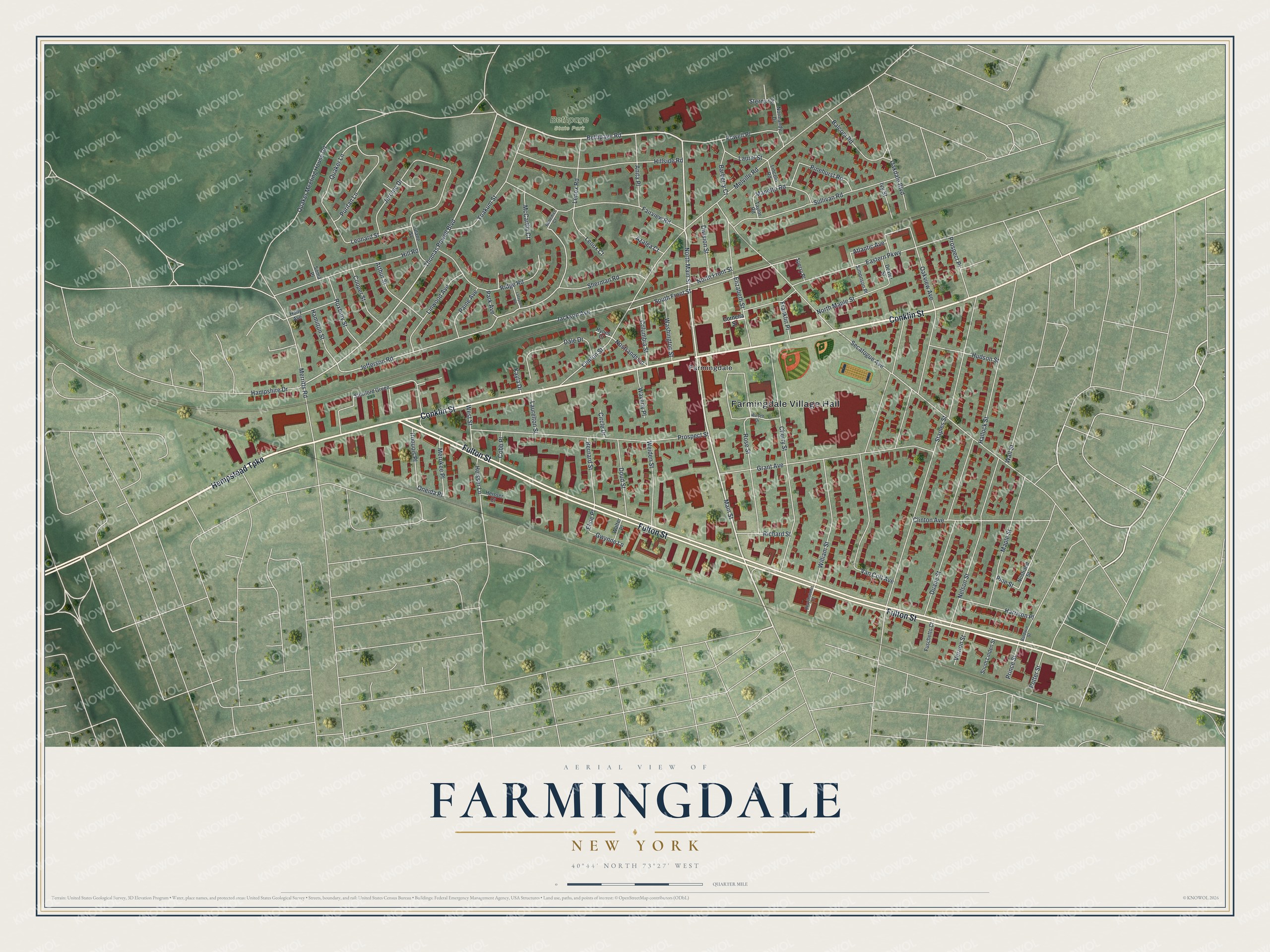
This beautifully detailed map of Farmingdale, New York was created in 2026 using aerial imagery combined with modern topographical, census, street and landmark data. It’s a one-of-a-kind view of Farmingdale that combines accurate data with a vintage aesthetic. The map shows every building in its true location, many of the roads carry their names, and the shaded topographic relief shows the shape of the land.
Explore an aerial view of Farmingdale, New York
On the map you’ll find Farmingdale Village Hall and Bethpage State Park, along with Hempstead Turnpike, Conklin Street, Fulton Street, Cornelia Street, and more. If you look closely you can even find your house accurately drawn in its correct location. Zoom in on the preview to look for yours.
Did You Know?
In the 1830s, land developer Ambrose George bought a big tract, expecting the Long Island Rail Road to be built. He opened a general store on the west side of his land and called it Farmingdale. When trains reached the area in October 1841, the railroad gave its new station the same name.
Take a closer look at the Farmingdale map
Names on this map
These names are printed on this map.
Places: Farmingdale Village Hall, Bethpage State Park and Farmingdale.
Streets and roads: Hempstead Turnpike, Conklin Street, Fulton Street, Main Street, Bethpage Road, North Main Street, Thomas Powell Boulevard, South Front Street, Leonard Street, Atlantic Avenue, Oneida Place, Jefferson Road.
More street names, A to Z
Anita Place, Arthur Street, Azalea Court, Balcom Road, Baldwin Street, Barberry Court, Benedict Court, Bernard Street, Cherry Street, Circle Drive, Clinton Avenue, Clinton Street, Cobb Place, Columbia Street, Cooper Street, Cornelia Street, Dale Drive, Dexter Street, Division Street, Doud Street, Duane Street, Eastern Parkway, Elizabeth Street, Elsie Place, Fairview Road, Franklin Place, Fuschetto Court, Grant Avenue, Gwynne Lane, Hallock Street, Hamilton Street, Hampshire Drive, Harrison Place, Hearthstone Court, Heisser Court, Heisser Lane, Hill Road, Hillside Road, Holly Avenue, Hudson Street, Hynes Court, Iroquois Place, Ivy Street, Jackson Avenue, Jerome Drive, Kayla Drive, Lafayette Road, Laurel Street, Laurelton Street, Lenox Court, Lenox Road, Lincoln Road, Linwood Avenue, Manetto Road, Maple Street, McCarthy Court, Melville Road, Merokee Place, Merritts Road, Nelson Street, Normandy Drive, North Front Street, North Maple Street, Nostrands Lane, Nostrand Street, Oakdale Boulevard, Oakview Avenue, Paine Avenue, Park Avenue, Pinehurst Road, Pine Street, Potter Street, Powell Place, Prince Street, Prospect Place, Prospect Street, Puritan Lane, Quaker Lane, Quaker Meeting House Road, Richard Street, Ridge Road, Rose Street, Roxbury Street, Secatogue Avenue, Sherman Road, Simonson Place, Soma Place, South Linden Street, Sperry Place, Staples Street, Sterns Court, Stratford Green, Sullivan Road, Taylor Road, Tulane Street, Van Cott Avenue, Vernon Street, Wall Street, Walter Place, Washington Street, Waverly Place, Weiden Street, Wesch Drive, West Street, William Street, Yoakum Street.
See it on a wall
The Farmingdale map as a framed print. Swipe for more.


This beautifully detailed map of Farmingdale makes an attractive addition to your office, library, or den, and it can even be used to teach children the geography and history of the area. It also makes a great gift for anyone who grew up in Farmingdale or moved away. When you’re done exploring, click here to get your copy of the Farmingdale map.