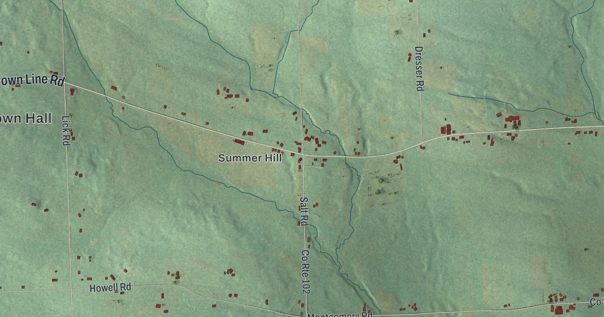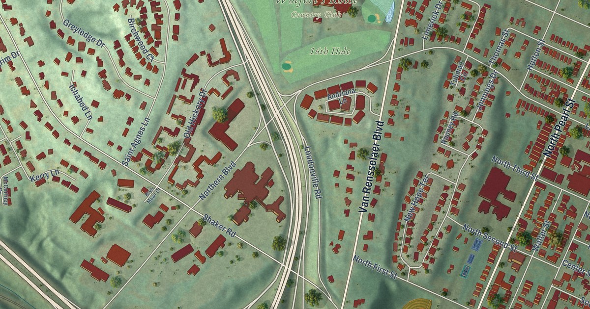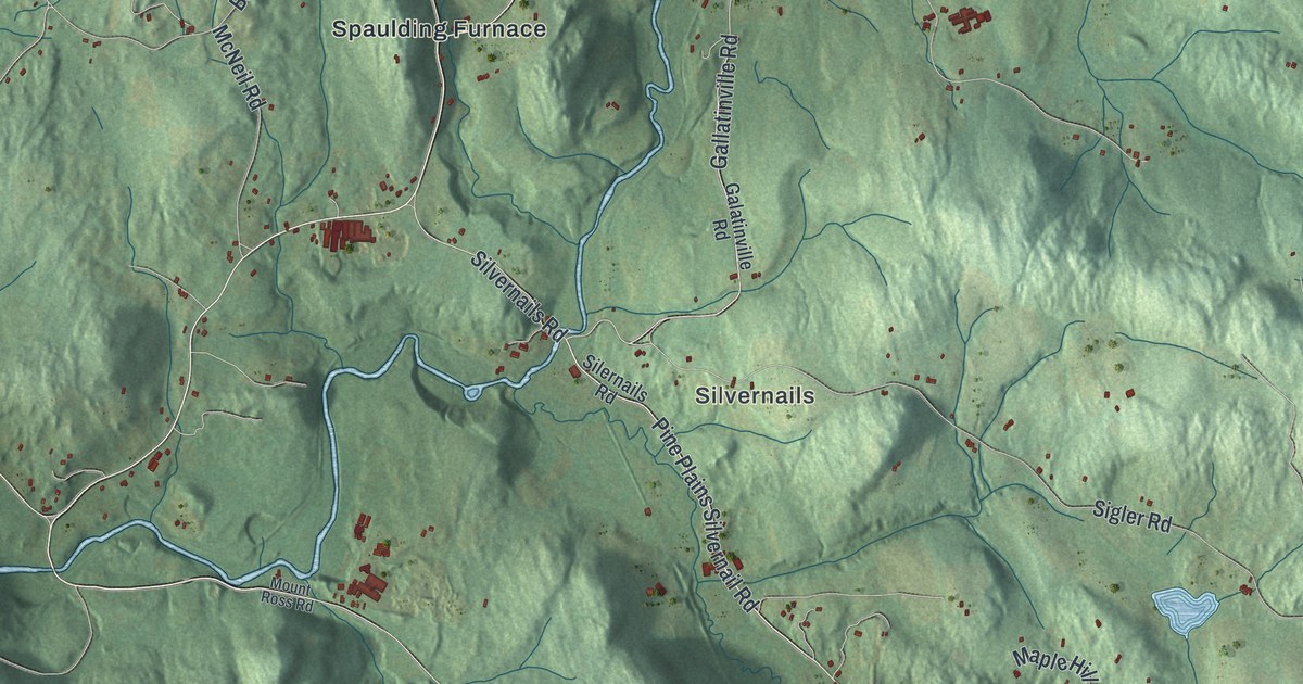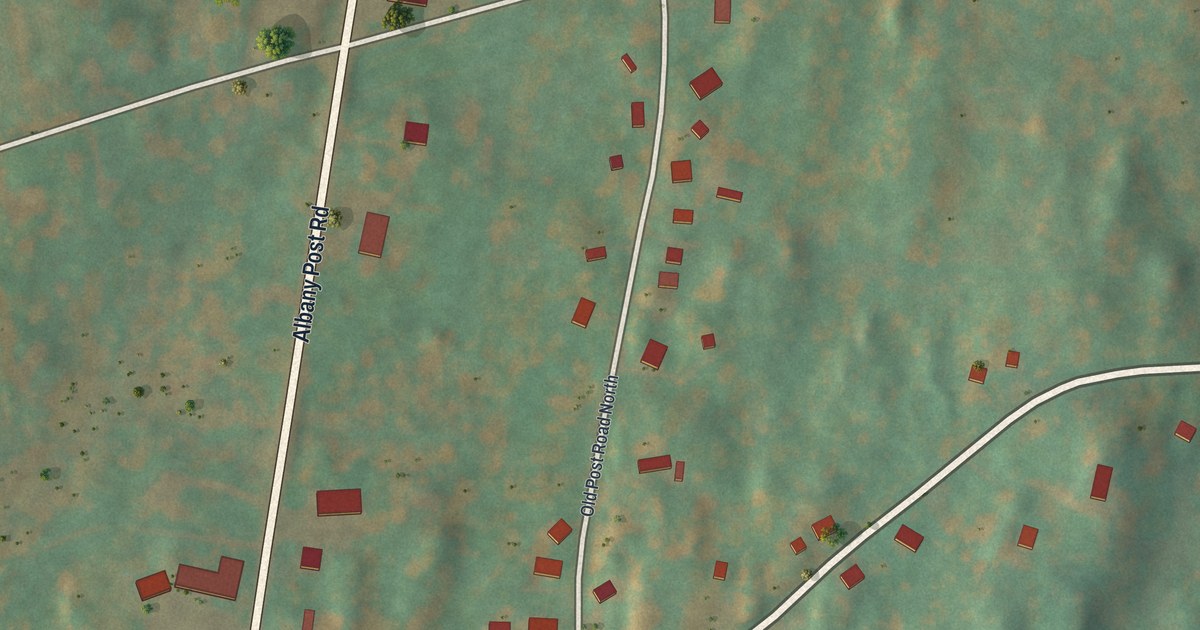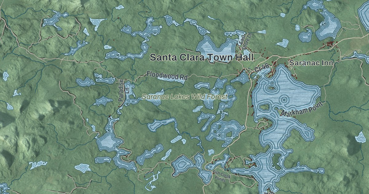
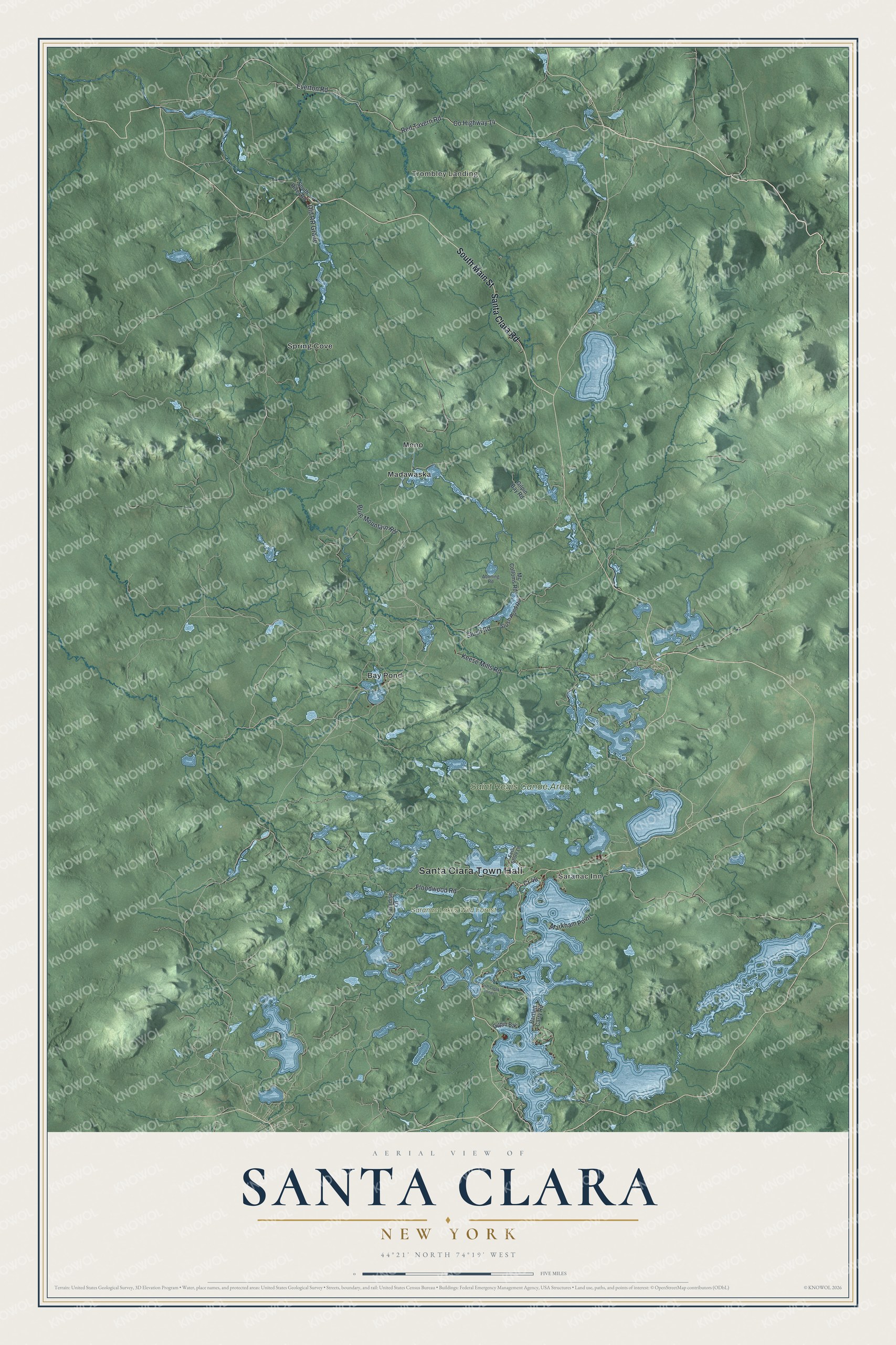
This beautifully detailed map of Santa Clara, New York was created in 2026 using aerial imagery combined with modern topographical, census, street and landmark data. It’s a one-of-a-kind view of Santa Clara that combines accurate data with a vintage aesthetic. The map shows every building in its true location, many of the roads carry their names, and the shaded topographic relief shows the shape of the land.
Explore an aerial view of Santa Clara, New York
On the map you’ll find Santa Clara Town Hall, Trombley Landing, Saranac Inn, Bay Pond, Madawaska, Meno, and Saranac Lakes Wild Forest, along with Main Street, Santa Clara Road, Floodwood Road, Red Tavern Road, and more. If you look closely you can even find your house accurately drawn in its correct location. Zoom in on the preview to look for yours.
Did You Know?
Santa Clara took its name from the wife of John Hurd, an early businessman in town. It was set off from Brandon in 1888. Around 1896 William Rockefeller began buying land here to build a summer estate for his family.
Take a closer look at the Santa Clara map
Names on this map
These names are printed on this map.
Places: Santa Clara Town Hall, Trombley Landing, Saranac Inn, Saint Regis Canoe Area, Saranac Lakes Wild Forest, Bay Pond, Madawaska, Meno and Spring Cove.
Streets and roads: South Main Street, Santa Clara Road, County Highway 14, Floodwood Road, Red Tavern Road, Cr 46, Blue Mountain Road, Slush Road, Markham Point, Keese Mills Road, Everton Road, Old RR Grade.
More street names, A to Z
Aboning Road, Bartlett Carry Road, East Shore Lane, Fish Creek Ponds, Gilpin Bay, Gilpin Bay Road, Mc Colloms Road, Paradise Lane, Slush Pond Road, South River Road.
See it on a wall
The Santa Clara map as a framed print. Swipe for more.


This beautifully detailed map of Santa Clara makes an attractive addition to your office, library, or den, and it can even be used to teach children the geography and history of the area. It also makes a great gift for someone who left Santa Clara and still calls it home. When you’re done exploring, click here to get your copy of the Santa Clara map.