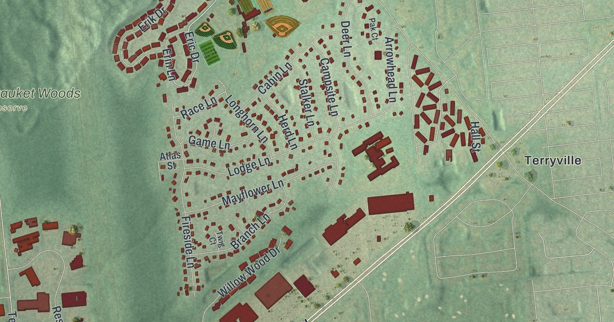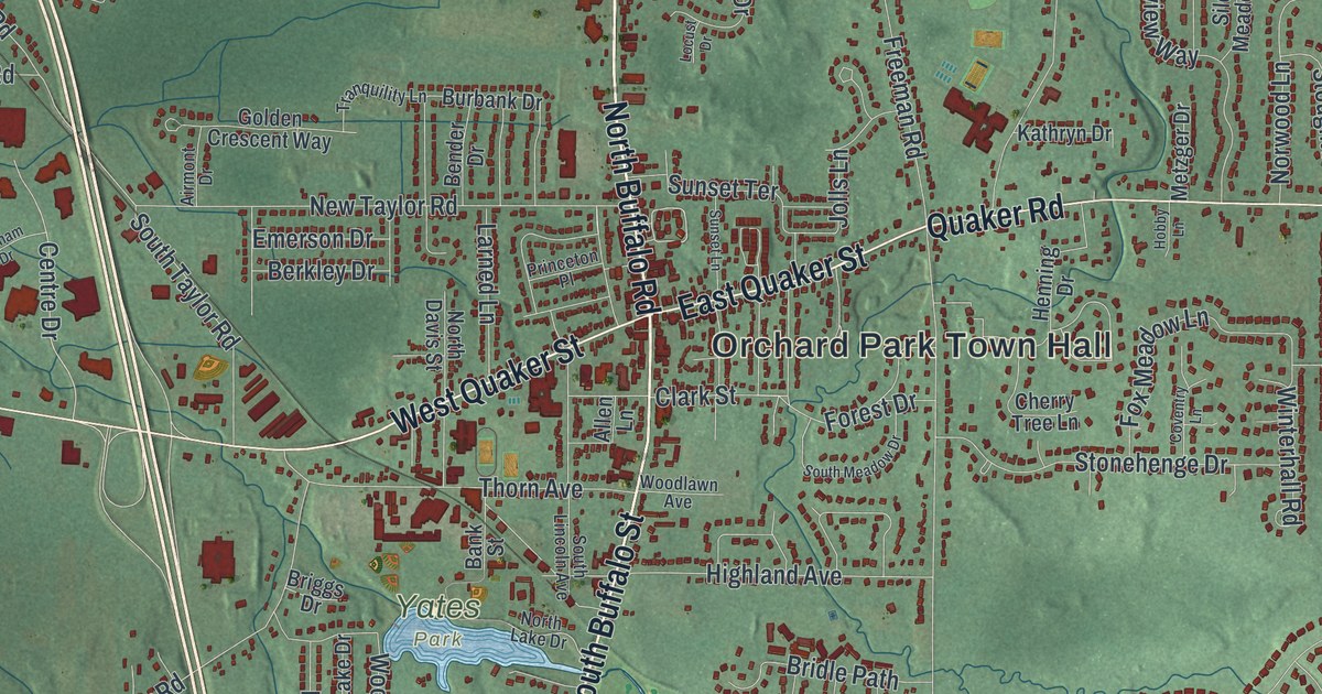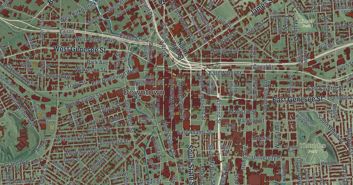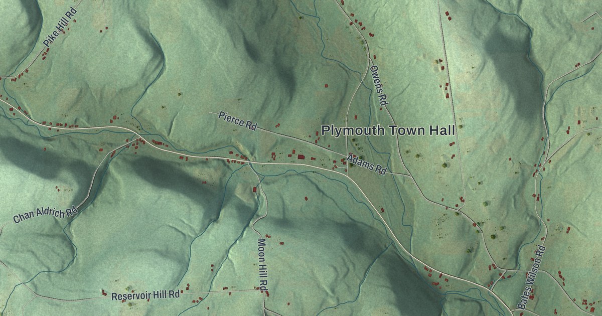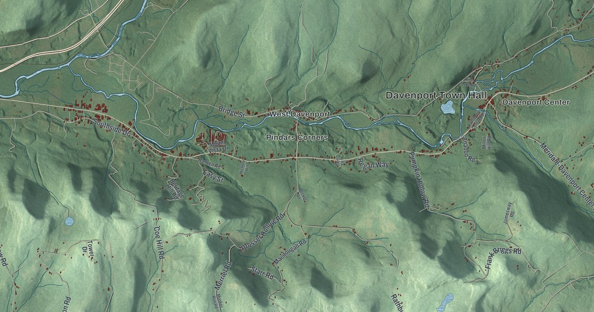
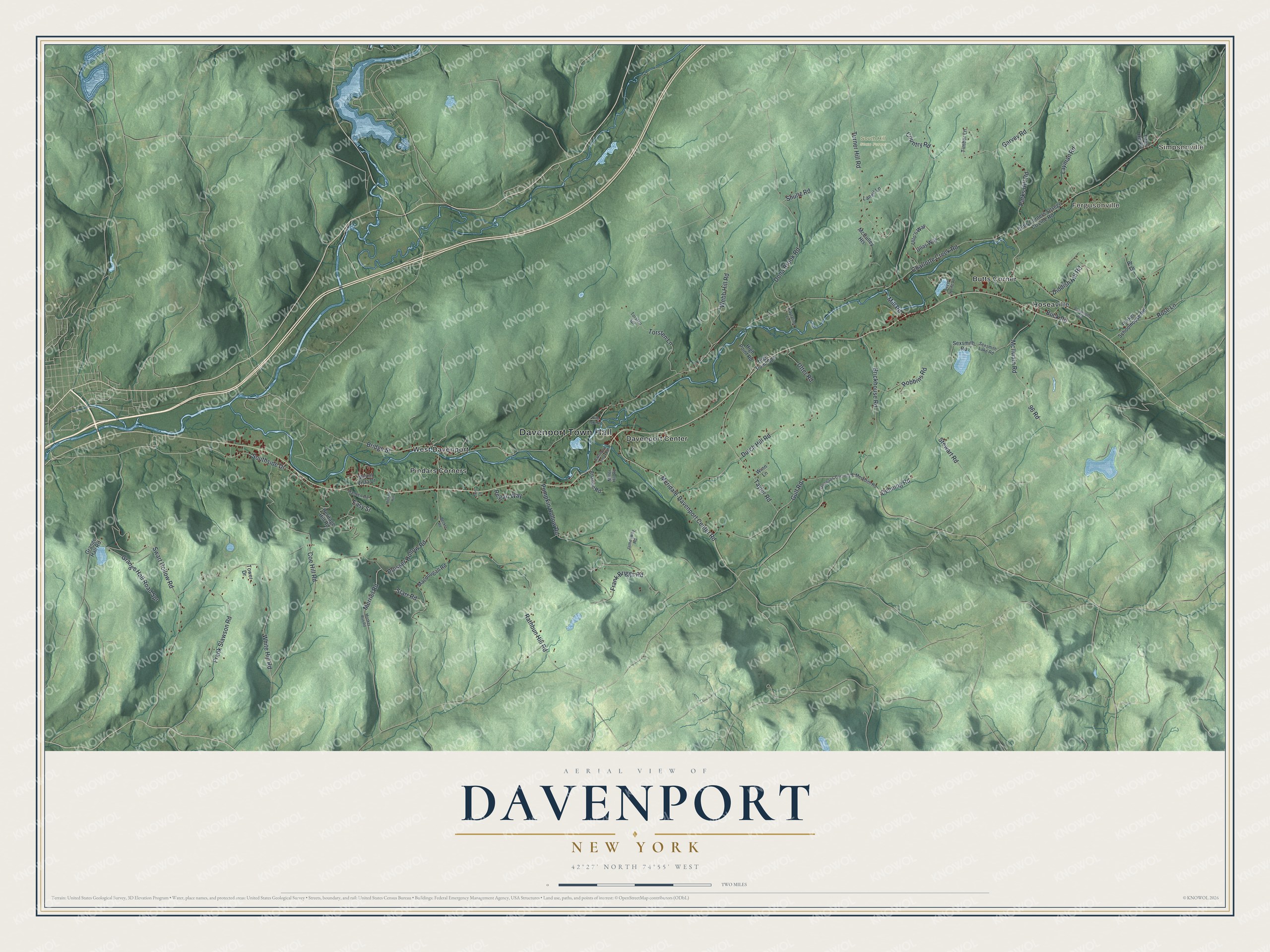
This beautifully detailed map of Davenport, New York was created in 2026 using aerial imagery combined with modern topographical, census, street and landmark data. It’s a one-of-a-kind view of Davenport that combines accurate data with a vintage aesthetic. The map shows every building in its true location, many of the roads carry their names, and the shaded topographic relief shows the shape of the land.
Explore an aerial view of Davenport, New York
On the map you’ll find Davenport Town Hall, Simpsonville, Fergusonville, Butts Corner, Davenport Center, Hoseaville, and South Hill State Forest, along with Meridale-Davenport Center Road, Southside Drive, Bridge Street, Charlotte Creek Road, and more. If you look closely you can even find your house accurately drawn in its correct location. Zoom in on the preview to look for yours.
Did You Know?
Davenport was formed in 1817 from parts of the towns of Kortright and Meredith. It took its name from John Davenport, an early settler. He went on to serve as the first town supervisor.
Take a closer look at the Davenport map
Names on this map
These names are printed on this map.
Places: Davenport Town Hall, Simpsonville, Fergusonville, South Hill State Forest, Butts Corner, Davenport Center, Hoseaville, Pindars Corners and West Davenport.
Streets and roads: Meridale-Davenport Center Road, Southside Drive, Bridge Street, Charlotte Creek Road, Coe Hill Road, Rathbun Hill Road, Garvey Road, White Hill Road, Turner Hill Road, Swart Hollow Road, Prosser Hollow Road, Pumpkin Hollow Road.
More street names, A to Z
96 Road, Anadon Road, Beaver Spring Spr, Becker Road, Brickhouse Road, Buck Road, Butts Corners-Otsego County Line Road, Country Road, Davenport Center Road, Dehning Road, Diddish Hill Road, Dona Brook Road, Doonans Corners-E Meredith Road, Dutch Hill Road, Easy Street, Frank Briggs Road, Frank Slawson Road, Grange Hall Road, Grange Hall Road Spr, Gulf Road, Hansen Road, Heritage Hill Road, Hickory Hill, High Point Road, High Point Spr, Jamesway Road, Kaytalinc Lane, Laneil Lane, Layman Road, Macdougall Road, McCulley Heights, McIlwain Road, Merriel Road, Miller Hill Road, Mill Road, Monkey Run Road, Mount Vista Drive, Parker Schoolhouse Road, Parks Hill Road, Pine Lake Road, Pr Drive, Regan Way, Robbins Road, Rons Lane, Rose Lane, Sexsmith Lake Road, Sexsmith Road, Shultz Road, Starr Road, Stewart Road, Taylor Road, Timber Lane, Titus Hill Road, Torsten Lane, Torsten Spr, Tower Drive, Ullas Way, Ullo's Way, Utter Road, Vandeusen Road, Webb Hill Road, Winn Lane.
See it on a wall
The Davenport map as a framed print. Swipe for more.


This beautifully detailed map of Davenport makes an attractive addition to your office, library, or den, and it can even be used to teach children the geography and history of the area. It also makes a great gift for anyone with Davenport roots. When you’re done exploring, click here to get your copy of the Davenport map.