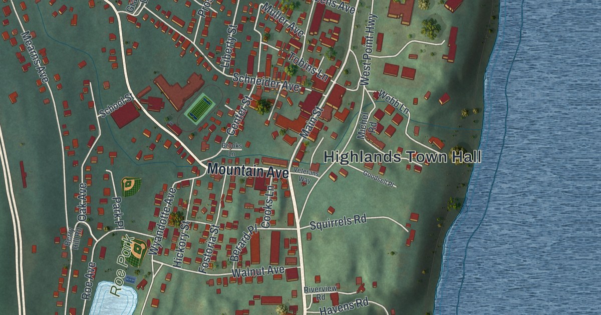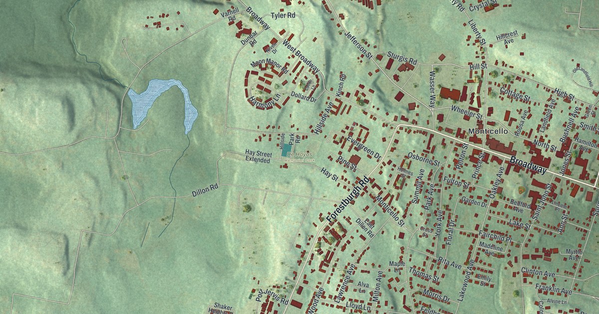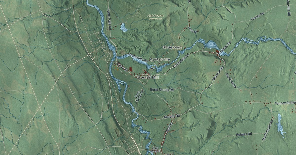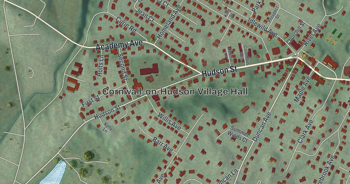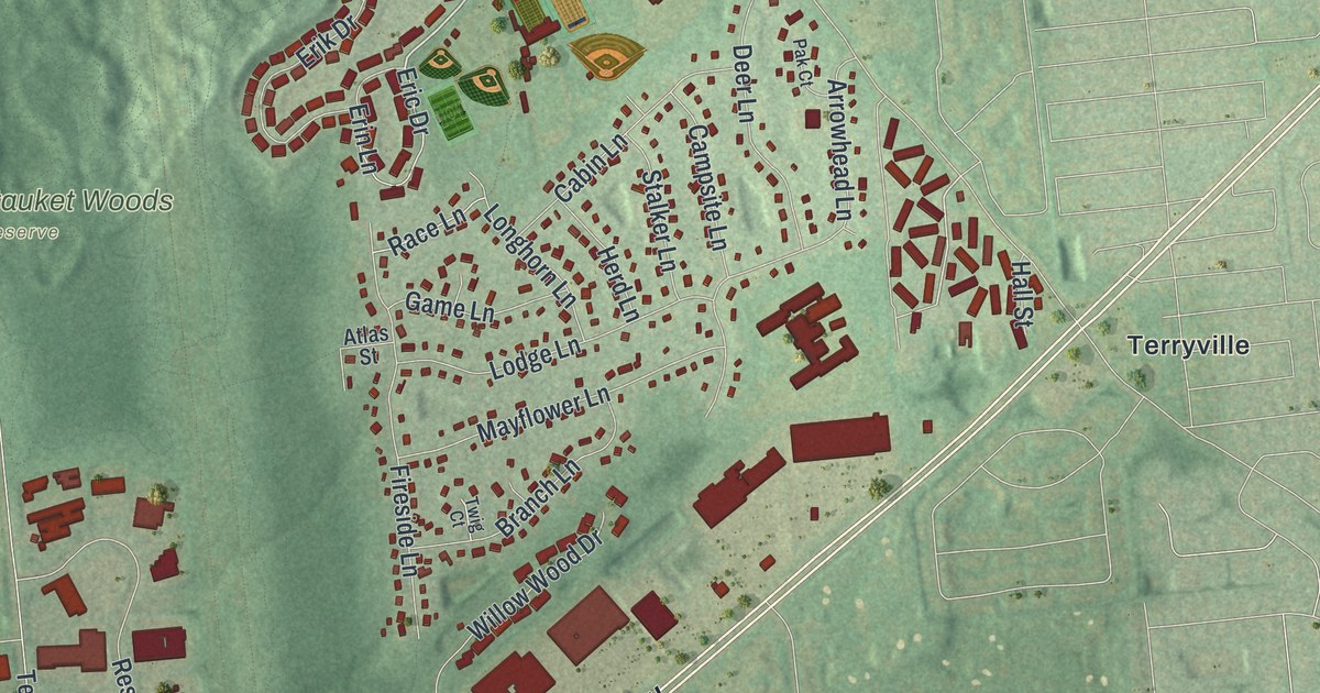
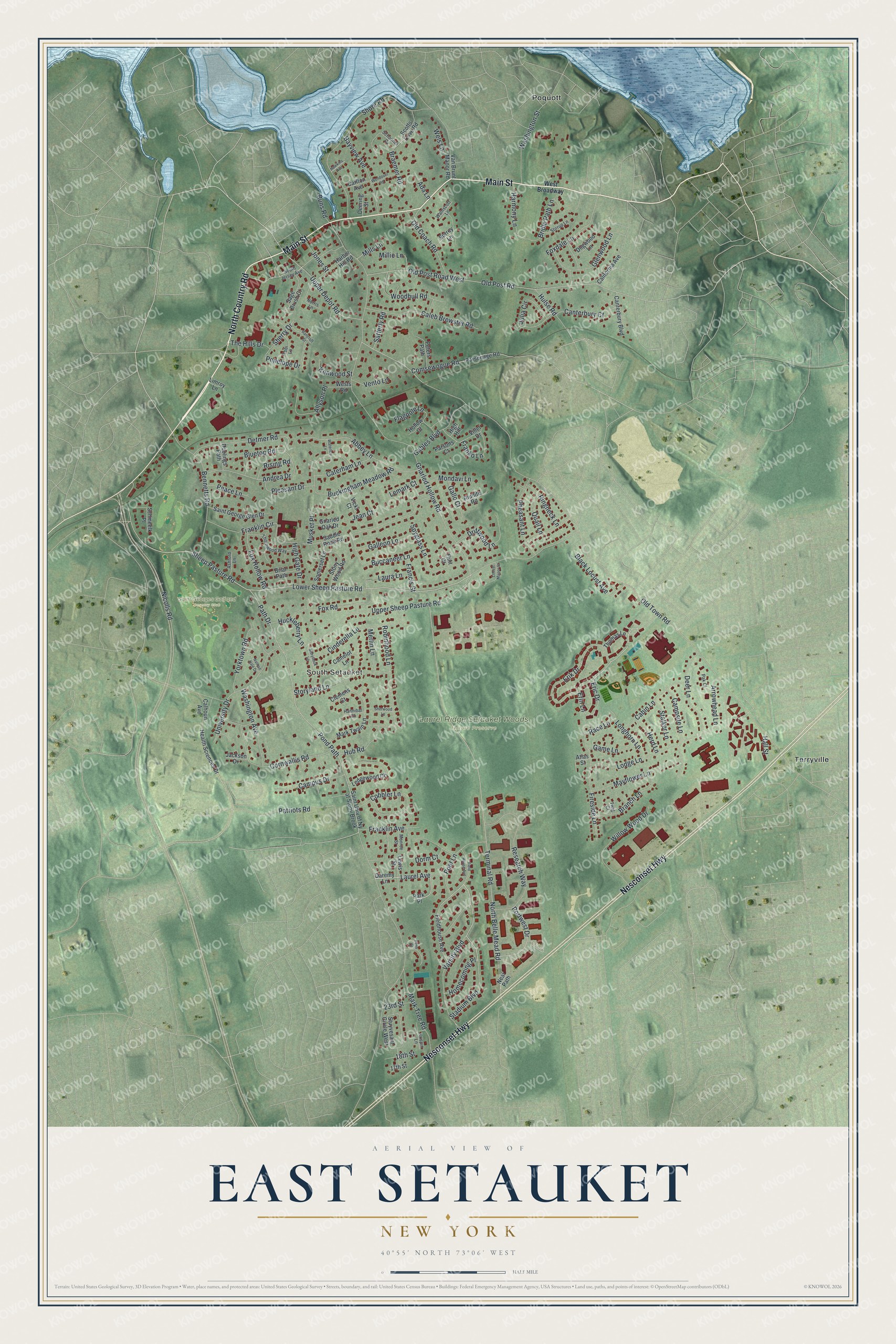
This beautifully detailed map of East Setauket, New York was created in 2026 using aerial imagery combined with modern topographical, census, street and landmark data. It’s a one-of-a-kind view of East Setauket that combines accurate data with a vintage aesthetic. The map shows every building in its true location, many of the roads carry their names, and the shaded topographic relief shows the shape of the land.
Explore an aerial view of East Setauket, New York
On the map you’ll find West Broadway, South Setauket, Poquott, Terryville, and Laurel Ridge Setauket Woods Nature Preserve, along with Country Road, Main Street, Nesconset Highway, Erin Lane, and more. If you look closely you can even find your house accurately drawn in its correct location. Zoom in on the preview to look for yours.
Did You Know?
Industry came to East Setauket in the 1800s. Shipbuilding there dated to 1662, and new shipyards grew along the part of Setauket Harbor called Dyers Neck. From 1876 to 1904, the hamlet was also home to a factory of the Long Island Rubber Company.
Take a closer look at the East Setauket map
Names on this map
These names are printed on this map.
Places: South Setauket, Laurel Ridge Setauket Woods Nature Preserve, Saint Georges Golf and Country Club, Poquott and Terryville.
Streets and roads: North Country Road, Main Street, Nesconset Highway, Erin Lane, Varsity Boulevard, Poet Lane, Laurel Avenue, Lower Sheep Pasture Road, Old Town Road, Pond Path, Sheep Pasture Road, Gnarled Hollow Road.
More street names, A to Z
17th Street, 18th Street, 23rd Street, Abbey Lane, Ada Lane, Allyson Place, Andrea Drive, Arrowhead Lane, Ashford Lane, Atlas Street, Bancroft Street, Bayview Avenue, Bennetts Road, Black Locust Avenue, Bluetop Road, Braemer Road, Branch Lane, Briar Path, Bridle Path Lane, Buccaneer Lane, Buckingham Meadow Road, Cabin Lane, Caleb Brewster Road, Calhoun Avenue, California Avenue, Camelot Lane, Campsite Lane, Campus Drive, Canterbury Boulevard, Canterbury Court, Carlton Avenue, Caterham Lane, Cinderella Lane, Clemens Court, Cobbler Lane, Comsewogue Road, Cornwallis Road, Daremy Lane, Deering Street, Deer Lane, Detmer Road, Dogwood Lane, Doolings Path, Dorm Court, Driftwood Lane, Eric Drive, Erik Drive, Fieldhouse Avenue, Field House Avenue, Fireside Lane, Flagpole Lane, Flint Court, Foxdale Lane, Fox Hollow Road, Fox Road, Francis Street, Franklin Avenue, Franklin Circle, Franko Lane, Gables Boulevard, Galleon Lane, Gallo Court, Game Lane, Glenwood Lane, Gnarled Oak Drive, Hall Street, Hannibal Court, Harbor Hill Road, Harmony Lane, Hawkins Avenue, Health Sciences Drive, Herd Lane, High Gate Drive, High Hill, Hollow Court, Homecoming Place, Hub Road, Huckleberry Lane, Hulse Road, Jackson Drive, Jean Court, Jones Street, Julia Circle, Kenwood Street, Krispin Lane, Laura Lane, Ledgewood Circle, Lemark Court, Lewis Street, Limroy Lane, Locust Manor Court, Lodge Lane, Longhorn Lane, Mark Tree Road, Mark Twain Lane, Mayflower Lane, Merlin Lane, Millie Lane, Mills Lane, Mondavi Lane, Monroe Street, Musket Place, Nathan Hale Drive, Neal Path, Nicolls Road, Norris Lane, North Belle Mead Road, Old Coach Road, Old Post Road, Old Post Road West, Pak Court, Park Place, Parsonage Road, Parsons Court, Path Drive, Patriots Road, Peace Lane, Penelope Drive, Penn Court, Peters Path, Pheasant Lane, Pleasant Drive, Portwest Drive, Quail Lane, Race Lane, Research Way, Ringneck Lane, Rising Road, Riunite Road, Robinhood Lane, Runs Road, Saddle Rock Road, Sage Brush Court, Saint George Glen Drive, Saint Univ of Ny at Stony Brook, Satterly Road, Schmeelk Place, Schooner Cv, Scotts Cove Road, Sherry Drive, Sherwood Lane, Shore Road, Somerset Lane, South Jersey Avenue, Spyglass Lane, Stadium Boulevard, Stalker Lane, Stirrup Lane, Stony Wood Road, Storybook Lane, Storyland Lane, Stuyvesant Circle West, Surrey Lane, Terminal Road, The Hills Drive, Thomas Lane, Thornwood Way, Tobi Lane, Twig Court, University Drive, Upper Depot Road, Upper Sheep Pasture Road, Van Brunt Manor Road, Vento Lane, Vicki Court, Villet Drive, Wainscott Lane, Washington Avenue, Washington Street, Waterloo Lane, Wels Lane, Wendover Road, West Broadway, Wests Road, Willow Wood Drive, Woodhull Road, Yorktown Road.
See it on a wall
The East Setauket map as a framed print. Swipe for more.


This beautifully detailed map of East Setauket makes an attractive addition to your office, library, or den, and it can even be used to teach children the geography and history of the area. It also makes a great gift for anyone with East Setauket roots. When you’re done exploring, click here to get your copy of the East Setauket map.