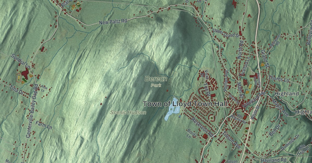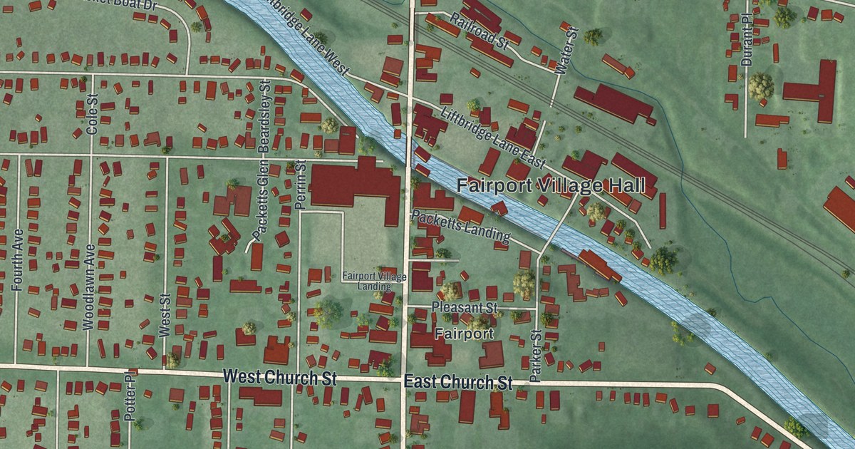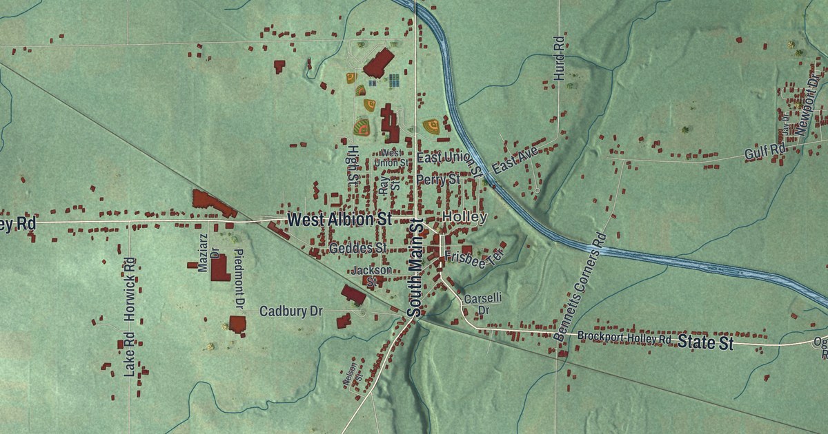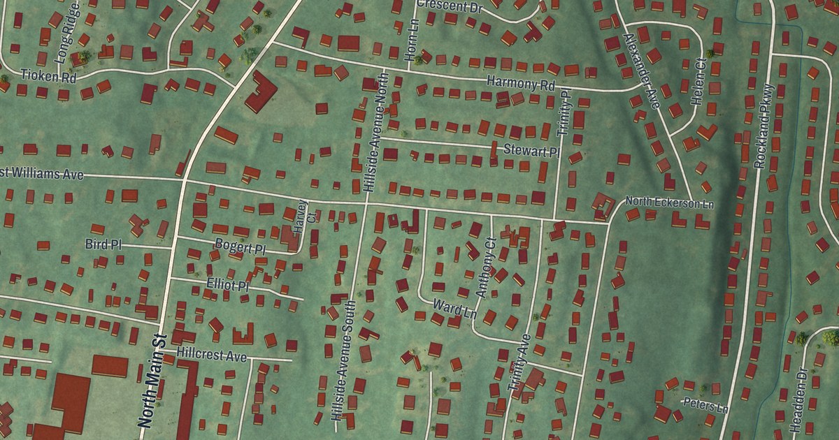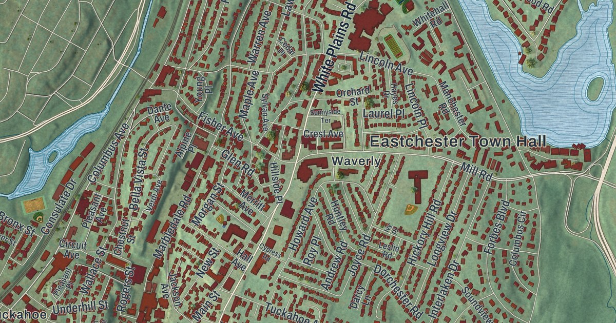
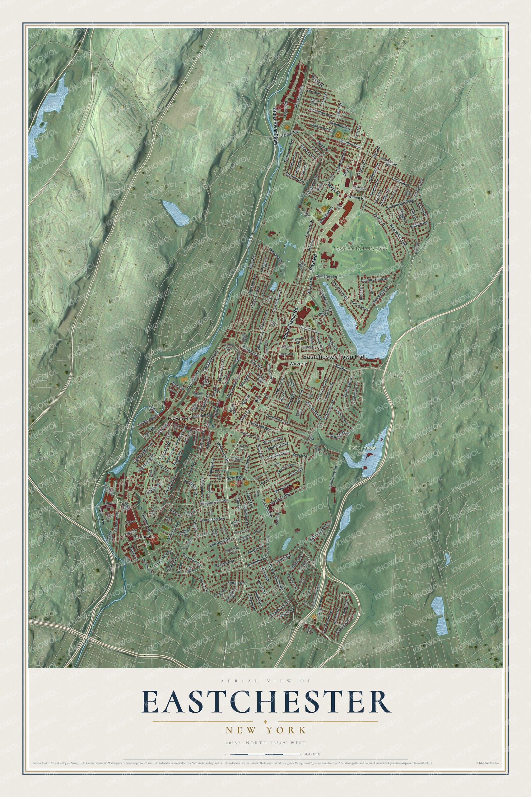
This beautifully detailed map of Eastchester, New York was created in 2026 using aerial imagery combined with modern topographical, census, street and landmark data. It’s a one-of-a-kind view of Eastchester that combines accurate data with a vintage aesthetic. The map shows every building in its true location, many of the roads carry their names, and the shaded topographic relief shows the shape of the land.
Explore an aerial view of Eastchester, New York
On the map you’ll find Eastchester Town Hall, Bronxville, Tuckahoe, Waverly, and Twin Lakes Park, along with White Plains Road, Post Road, Bronx River Parkway, Pondfield Road, and more. If you look closely you can even find your house accurately drawn in its correct location. Zoom in on the preview to look for yours.
Did You Know?
Eastchester was settled in 1664 by ten families who came from Fairfield, Connecticut. Thomas Pell deeded them land where Anne Hutchinson’s home had stood some twenty years earlier. In 1665 the settlers adopted the Eastchester Covenant, a rare code of 26 rules covering schooling, property and support of a minister.
Take a closer look at the Eastchester map
Names on this map
These names are printed on this map.
Places: Eastchester Town Hall, Twin Lakes Park, Bronxville, Tuckahoe, Waverly and Lake Isle Country Club.
Streets and roads: White Plains Road, Post Road, Bronx River Parkway, Pondfield Road, New Rochelle Road, Mill Road, Columbus Avenue, Parkway Road, Hewitt Avenue, Sagamore Road, Scarsdale Avenue, Lispenard Avenue.
More street names, A to Z
Alder Lane, Alida Street, Alkamont Avenue, Allaire Street, Alpine Place, Alta Drive, Anderson Avenue, Andrew Road, Anpell Drive, Archer Drive, Archer Place, Arlington Road, Avon Road, Beech Street, Beechwood Road, Bella Vista Street, Bell Road, Bradley Road, Bronson Avenue, Bronx Street, Brook Street, Burnham Road, Byway, California Road, Cedar Place, Cedar Street, Cemetery Lane, Central Drive, Chestnut Street, Circuit Avenue, Clarence Road, Claudet Way, Club Way, Colonial Road, Columbus Circle, Concordia Place, Consulate Drive, Country Club Road, Crawford Drive, Crawford Street, Crest Avenue, Crows Nest Road, Cypress Road, Dale Road, Dante Avenue, Darcy Lane, Deerfield Avenue, Dell Drive, Depot Plaza, De Witt Avenue, Dogwood Drive, Dorchester Road, Downer Avenue, Dunwoodie Street, Dusenberry Road, Eastway, Edgehill Clse, Edgewood Lane, Elba Place, Elm Lane, Elm Rock Road, Elm Street, Eton Place, Everett Street, Ewart Street, Fairview Avenue, Fairway Drive, Fisher Avenue, Forbes Boulevard, Fordal Road, Forest Lane, Fulling Avenue, Garden Avenue, Garth Road, Gaylor Road, Glen Road, Governors Road, Grand Boulevard, Grant Street, Gray Rock Road, Greenfield Avenue, Greystone Circle, Hall Avenue, Harney Road, Hathaway Road, Hayes Drive, Hemlock Road, Hickory Hill Road, Highland Avenue, High Road, Highview Avenue, Hilburn Road, Hillside Place, Hillside Road, Hilltop Road, Hobart Street, Homesdale Road, Homestead Avenue, Howard Avenue, Howell Place, Hubbard Circle, Hunter Drive, Huntley Road, Hutchinson Boulevard, Interlaken Drive, Ivy Place, Jackson Avenue, Jefferson Place, Joan Drive, Joyce Road, Kensington Road, Knollwood Road, Kraft Avenue, Lake Avenue, Lakeshore Drive, Lake Shore Drive, Lakeview Avenue, Lamesa Avenue, Laurel Place, Lawrence Avenue, Leary Street, Lee Avenue, Leewood Drive, Leonard Road, Leslie Road, Lieb Place, Lincoln Avenue, Lincoln Place, Lockwood Avenue, Locust Avenue, Locust Lane, Longview Drive, Lookout Avenue, Lyons Road, Madison Road, Main Street, Manchester Road, Maple Avenue, Maple Street, Marbledale Road, Masterton Road, McKinley Street, Merritt Avenue, Middle Road, Middleton Place, Midland Avenue, Midland Gardens, Midland Place, Morgan Street, Nelson Road, New Street, New Wilmot Road, North Road, Northway, Oak Avenue, Oakland Avenue, Old Wilmot Road, Orchard Place, Orchard Street, Oregon Avenue, Oriole Avenue, Oriole Road, Overlook Avenue, Paddington Road, Palmer Avenue, Palumbo Place, Park Avenue, Park Drive, Park Place, Parkview Drive, Parkway Circle, Pasadena Road, Paxton Avenue, Plateau Circle West, Pleasant Avenue, Pleasant Place, Pondfield Road West, Potter Place, Prescott Avenue, Prospect Avenue, Ray Place, Rescigno Drive, Reynolds Place, Ridgecroft Road, Ridge Road, Ridge Street, Rittenhouse Road, River Street, Rogers Street, Rose Avenue, Roy Place, Rutgers Place, Sherman Avenue, Siwanoy Boulevard, Siwanoy Clubway, Soundview Drive, South High Street, South Road, Stebbins Avenue, Stewart Place, Stone Place, Stratford Road, Studio Lane, Sturgis Road, Summit Avenue, Sunnybrae Place, Sunnyside Terrace, Sussex Avenue, Swift Avenue, Sycamore Street, Sylvan Avenue, Tanglewylde Avenue, Terrace Place, Tuckahoe Avenue, Tudor Lane, Underhill Street, Valley Road, Vassar Place, Verdi Avenue, Vernon Drive, Village Lane, Vine Street, Wallace Street, Warren Avenue, Washington Street, Water Street, Waverly Avenue, Webster Road, Westview Avenue, Westway, Whitehall Road, White Road, Wildway, Wildwood Road, Willow Road, Wilmot Road, Winding Lane, Winslow Circle, Winter Hill Road, Woodland Avenue, Woodruff Avenue, Wright Place, Yonkers Avenue, York Place, Young Place.
See it on a wall
The Eastchester map as a framed print. Swipe for more.


This beautifully detailed map of Eastchester makes an attractive addition to your office, library, or den, and it can even be used to teach children the geography and history of the area. It also makes a great gift for someone who left Eastchester and still calls it home. When you’re done exploring, click here to get your copy of the Eastchester map.