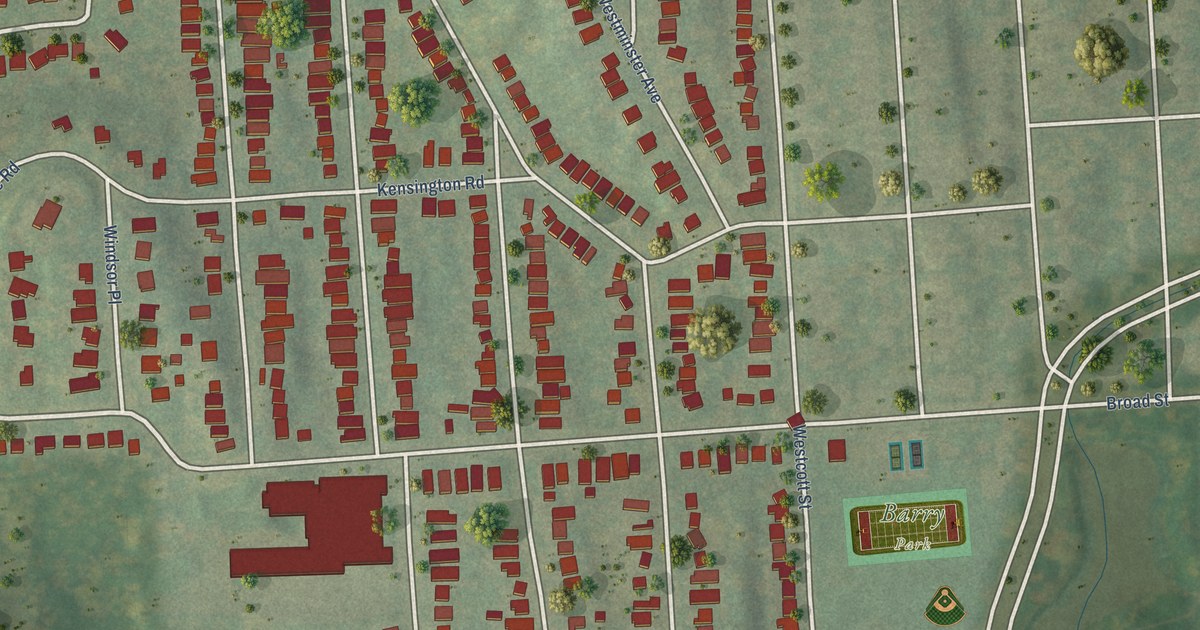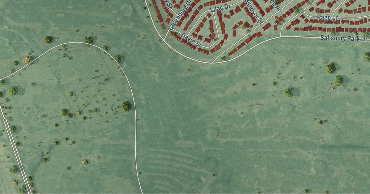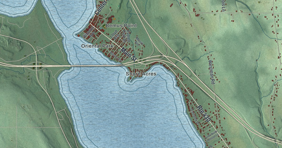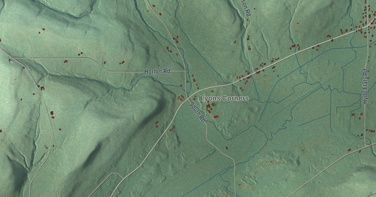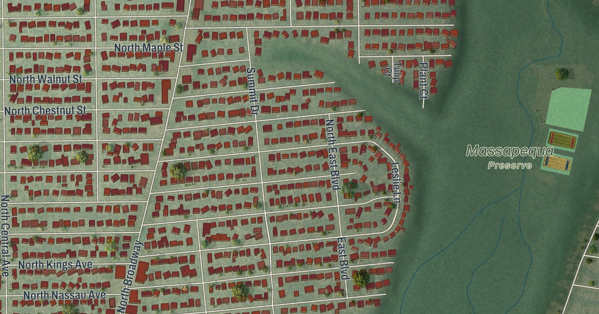
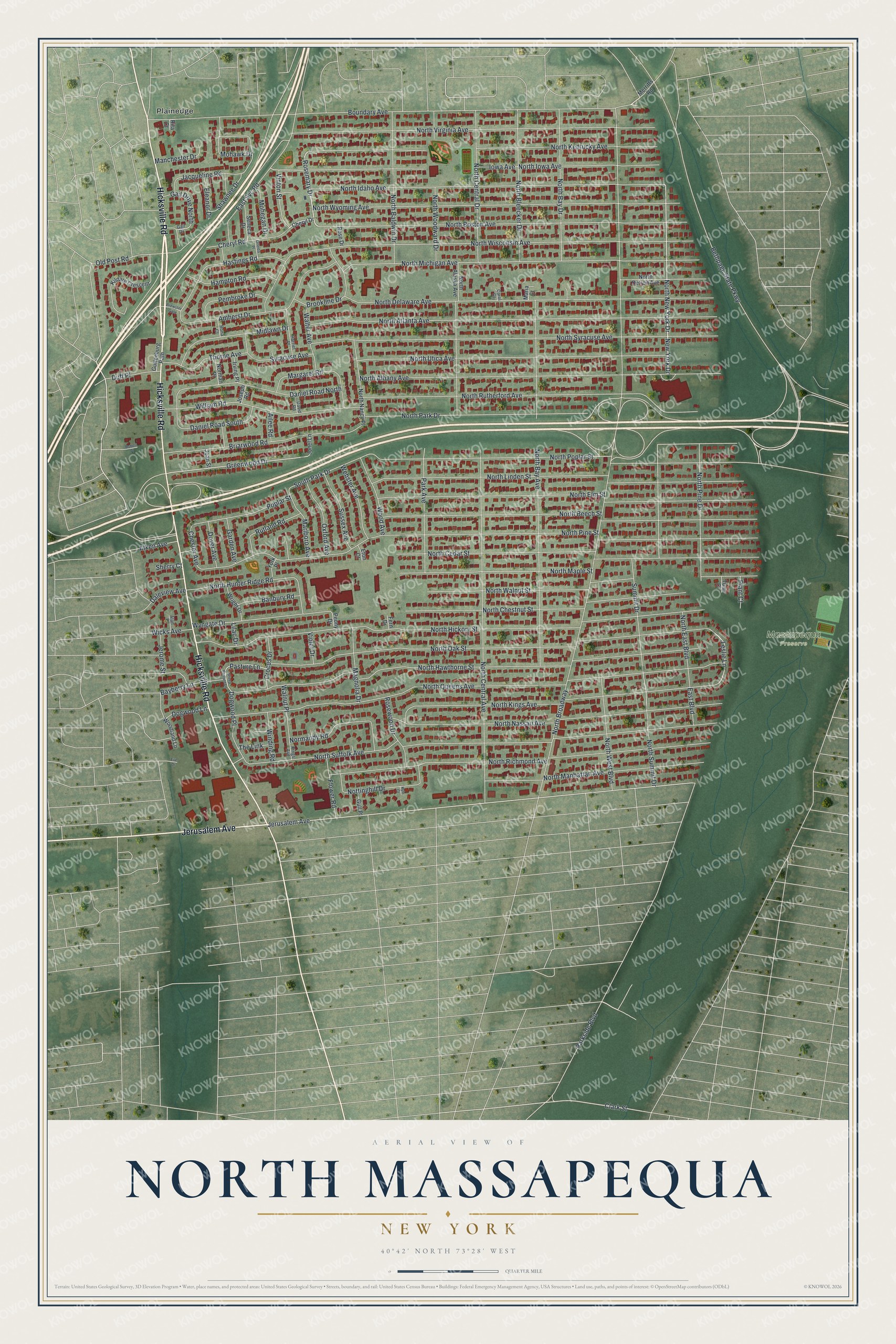
This beautifully detailed map of North Massapequa, New York was created in 2026 using aerial imagery combined with modern topographical, census, street and landmark data. It’s a one-of-a-kind view of North Massapequa that combines accurate data with a vintage aesthetic. The map shows every building in its true location, many of the roads carry their names, and the shaded topographic relief shows the shape of the land.
Explore an aerial view of North Massapequa, New York
On the map you’ll find Plainedge and Massapequa Preserve, along with Hicksville Road, Jerusalem Avenue, Boundary Avenue, Rosemary Drive, New York Drive, and more. If you look closely you can even find your house accurately drawn in its correct location. Zoom in on the preview to look for yours.
Take a closer look at the North Massapequa map
Names on this map
These names are printed on this map.
Places: Massapequa Preserve and Plainedge.
Streets and roads: Hicksville Road, Jerusalem Avenue, Boundary Avenue, Rosemary Drive, North New York Drive, Greenwood Drive, Clark Street, Leslie Lane, North Broadway, North Pine Street, North Queens Avenue, North Hickory Street.
More street names, A to Z
Ailee Road, Alan Place, Alken Avenue, Amherst Drive, Banbury Road, Bayberry Lane, Bethpage State Parkway, Brewster Gate, Briarwood Road, Brookline Drive, Carol Court, Cheryl Drive, Cheryl Road, Chester Avenue, Crocus Drive, Daleview Avenue, Daniel Road North, Daniel Road South, David Road, Dogwood Lane, Dogwood Place, Dover Avenue, Duff Place, East Boulevard, East Svc Road, Eleanor Drive, Eton Court, Eve Drive, Fern Drive, Flower Road, Gail Drive, Gail Drive North, Garden Avenue, Gull Place, Guttenburg Path, Hampton Road, Harriet Place, Hastings Road, Iowa Avenue, Irving Place, Jacqueline Road, Jerome Street, Joan Street, Jonel Lane, Joseph Road, Kildare Crescent, Kings Avenue, Kyle Court, Lilac Drive, Magnolia Drive, Manchester Drive, Margaret Road, Maria Court, Marlboro Avenue, Merritts Road, Midlawn Drive, Mohawk Drive, Mohegan Drive, New York Drive, Normandy Road, Norman Place, North Alaska Avenue, North Albany Avenue, North Atlanta Avenue, North Baldwin Drive, North Bay Avenue, North Bay Drive, North Beech Street, North Bleecker Drive, North Boston Avenue, North Cedar Street, North Central Avenue, North Central Drive, North Chestnut Street, North Delaware Avenue, North Detroit Avenue, North East Boulevard, North Elm Street, North Hawthorne Street, North Hunter Ridge Road, North Idaho Avenue, North Iowa Avenue, North Kentucky Avenue, North Kings Avenue, North Linden Street, North Manhattan Avenue, North Maple Street, North Michigan Avenue, North Nancy Place, North Nassau Avenue, North Oak Street, North Park Drive, North Pine Drive, North Poplar Street, North Richmond Avenue, North Rutherford Avenue, North Suffolk Avenue, North Summit Drive, North Syracuse Avenue, North Utica Avenue, North Virginia Avenue, North Walnut Street, North West Boulevard, North Wisconsin Avenue, North Woodward Drive, North Wyoming Avenue, Nottinghill Drive, Old Post Road, Oneida Place, Oxford Avenue, Park Avenue, Parkside Boulevard, Pasture Lane, Pembroke Drive, Peony Drive, Plant Court, Poplar Street, Rita Court, Robert Place, Rona Court, Rose Drive, Rosewood Drive, Rutland Road, Seneca Drive, Shawnee Drive, Sheep Pasture Lane, Sherry Court, South Park Drive, Summit Drive, Sussex Avenue, Syracuse Avenue, The Link, Thorne Avenue, Tulip Court, Vinton Street, Violet Drive, Walnut Place, Walter Avenue, Webster Avenue, Wicks Avenue, William Road, Winding Road, Wood Avenue, Woodland Lane, Wright Drive, Wyngate Drive, York Place.
See it on a wall
The North Massapequa map as a framed print. Swipe for more.


This beautifully detailed map of North Massapequa makes an attractive addition to your office, library, or den, and it can even be used to teach children the geography and history of the area. It also makes a great gift for someone who left North Massapequa and still calls it home. When you’re done exploring, click here to get your copy of the North Massapequa map.