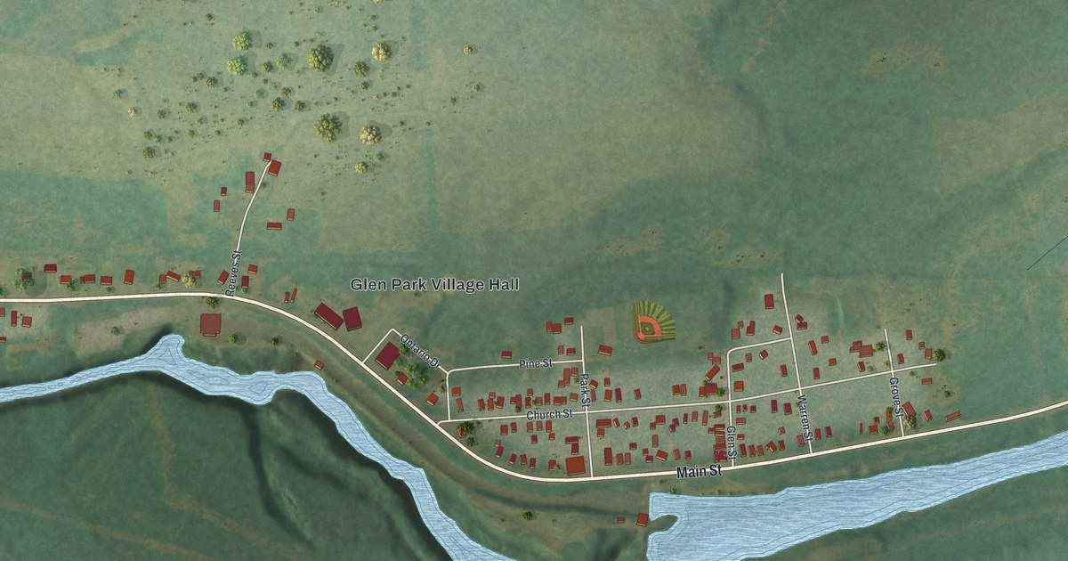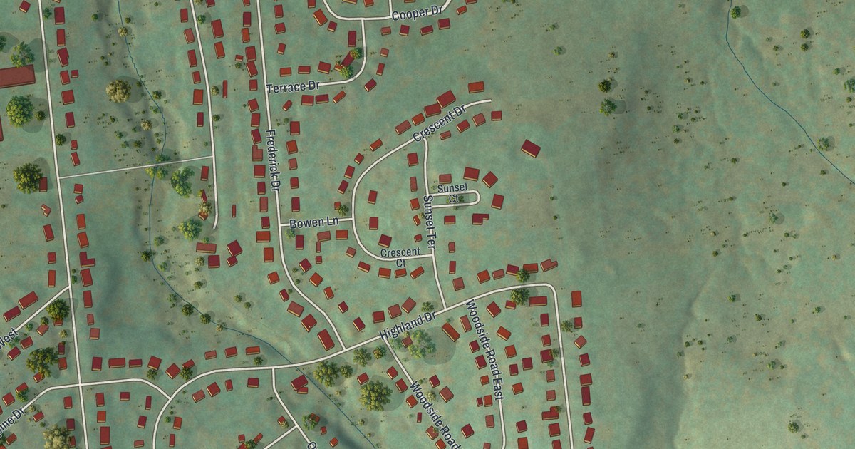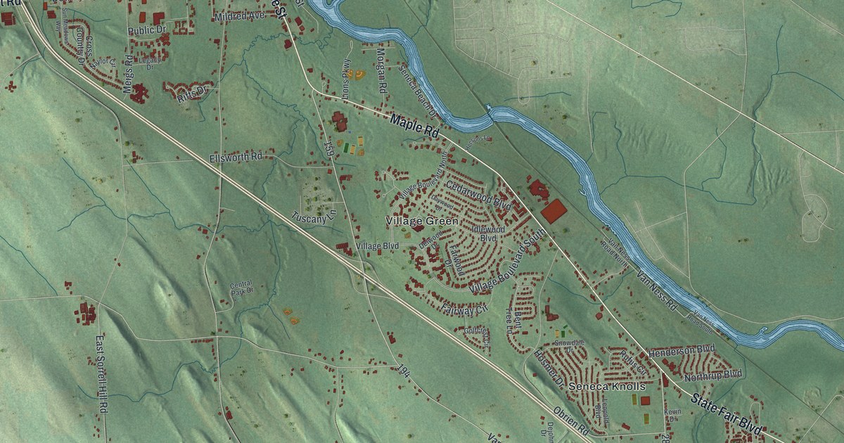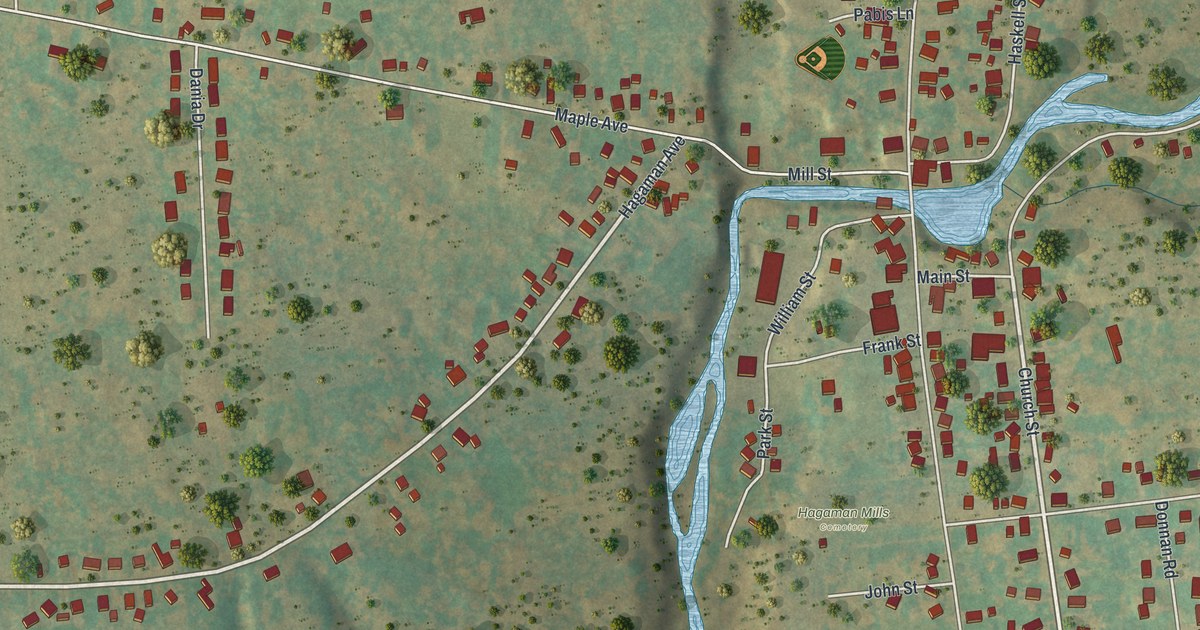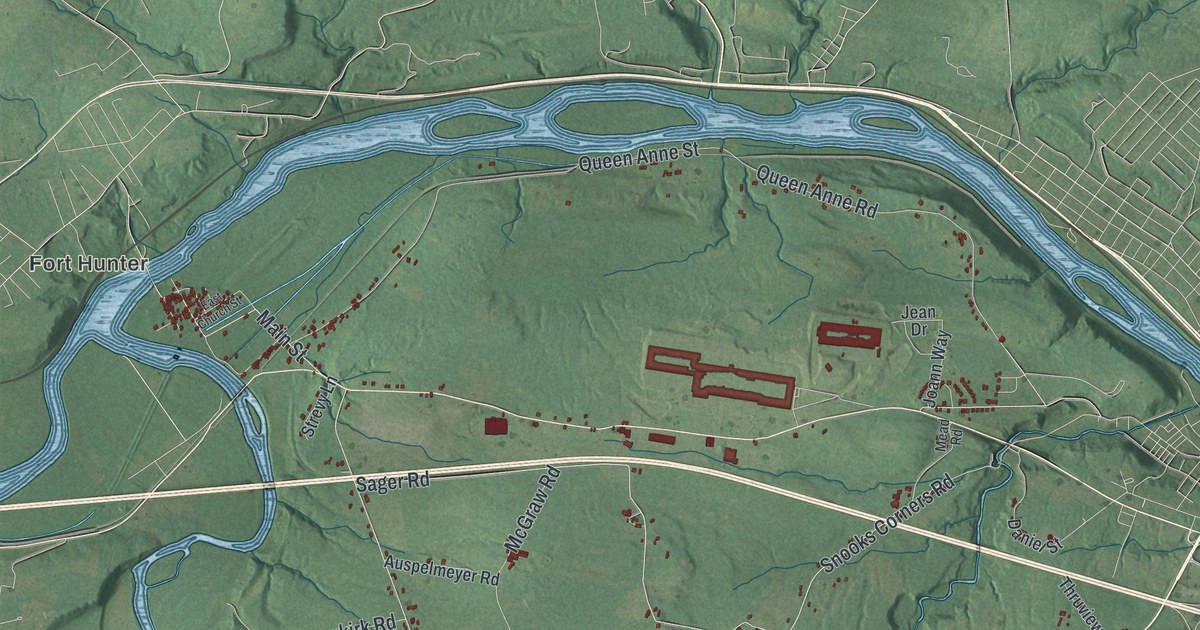
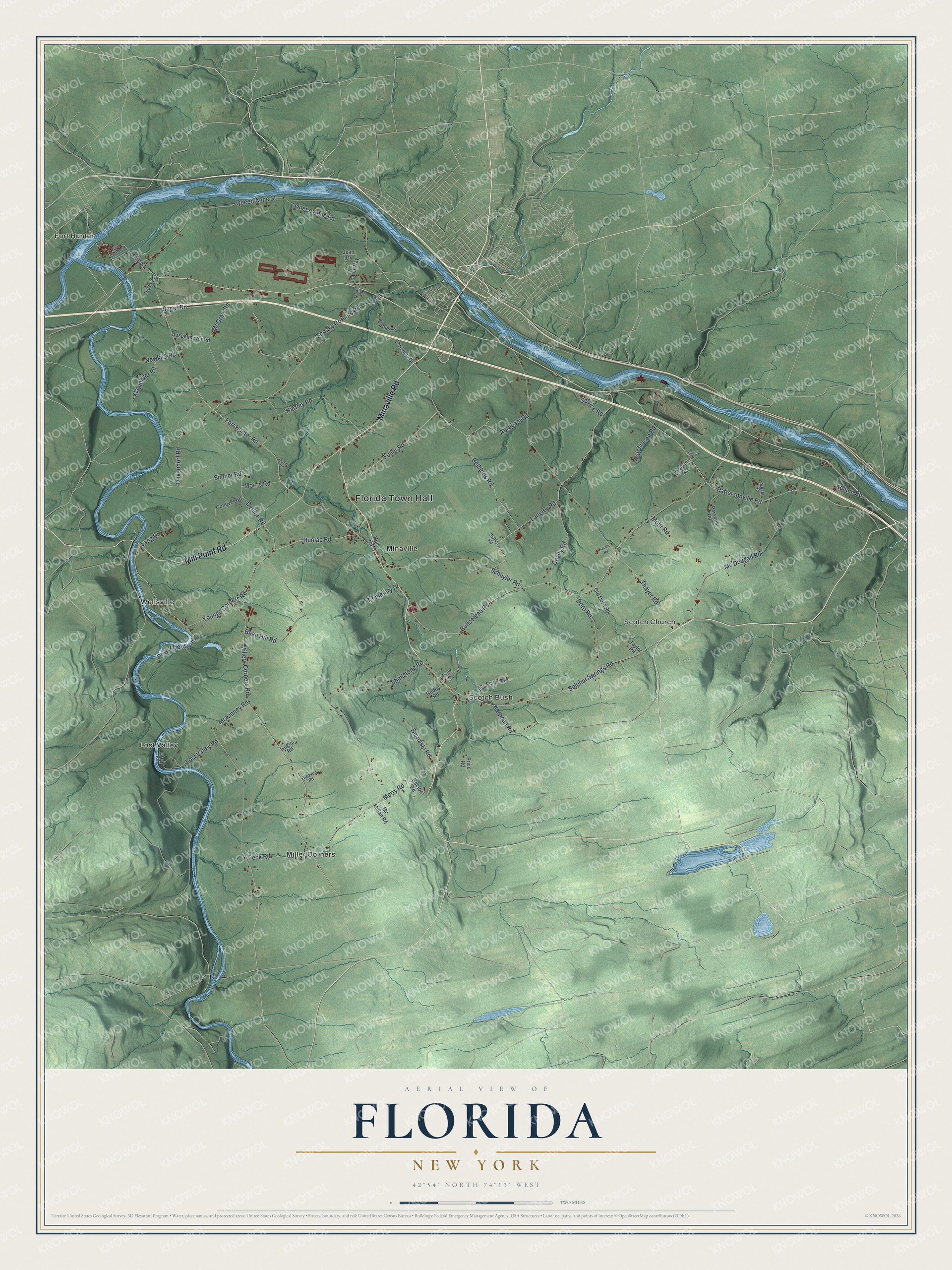
This beautifully detailed map of Florida, New York was created in 2026 using aerial imagery combined with modern topographical, census, street and landmark data. It’s a one-of-a-kind view of Florida that combines accurate data with a vintage aesthetic. The map shows every building in its true location, many of the roads carry their names, and the shaded topographic relief shows the shape of the land.
Explore an aerial view of Florida, New York
On the map you’ll find Florida Town Hall, Fort Hunter, Lost Valley, Miller Corners, Minaville, and Scotch Bush, along with Mill Point Road, Minaville Road, Mc Dougall Road, Sulphur Springs Road, and more. If you look closely you can even find your house accurately drawn in its correct location. Zoom in on the preview to look for yours.
Did You Know?
Settlers founded the town in 1793 on the anniversary of Juan Ponce de Leon’s discovery of Florida. They named the new town after that state. William Johnson first worked here as a young Irish immigrant overseeing property. He later became Britain’s top official for Indian affairs across the northern colonies.
Take a closer look at the Florida map
Names on this map
These names are printed on this map.
Places: Florida Town Hall, Fort Hunter, Lost Valley, Miller Corners, Minaville, Scotch Bush, Scotch Church and Wellsville.
Streets and roads: Mill Point Road, Minaville Road, Mc Dougall Road, Sulphur Springs Road, Bulls Head Road, Langley Road, Fort Hunter Road, Thayer Road, Millers Corners Road, Pattersonville Road, Youngs Corners Road, Shellstone Road.
More street names, A to Z
Abraham Road, Auspelmeyer Road, Bean Hill Road, Belldons Road, Bernaski Road, Beyer Road, Buhrmaster Road, Cemetery Drive, Conover Road, Covey Road, Daniel Street, Denice Road, Devendorf Road, Dorn Road, Dunlap Road, East Church Street, Fuller Road, Gleason Road, Godey Road, Gogus Road, Hartley Road, Hartman Road, Hull Road, Hutchinson Road, Island Road, Jean Drive, Joann Way, Kazala Road, Kellum Road, Klapmeyer Road, Kruger Road, Krutz Lane, Lang Drive, Lost Valley Road, Main Street, Mazur Road, McGraw Road, McKinney Road, Mc Millan Road, Mead Road, Merry Road, Mohr Road, Morris Road, Newkirk Road, Old Dorn Road, Peck Road, Persons Road, Power House Road, Price Road, Queen Anne Road, Queen Anne Street, Rector Road, Sager Road, Schuyler Road, Service Road, Severin Road, Simcer Road, Snooks Corners Road, Staley Road, Strevy Lane, Taylor Road, Thruview Drive.
See it on a wall
The Florida map as a framed print. Swipe for more.


This beautifully detailed map of Florida makes an attractive addition to your office, library, or den, and it can even be used to teach children the geography and history of the area. It also makes a great gift for anyone with Florida roots. When you’re done exploring, click here to get your copy of the Florida map.