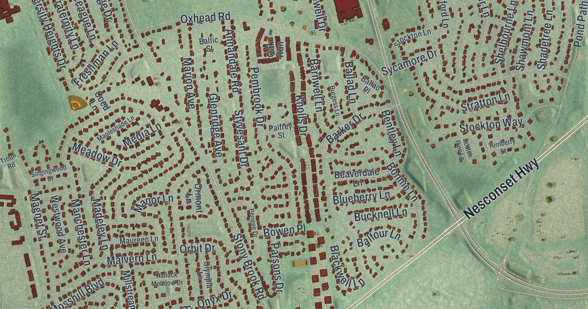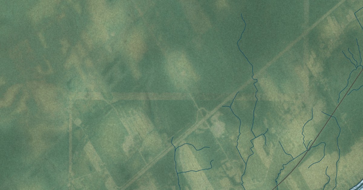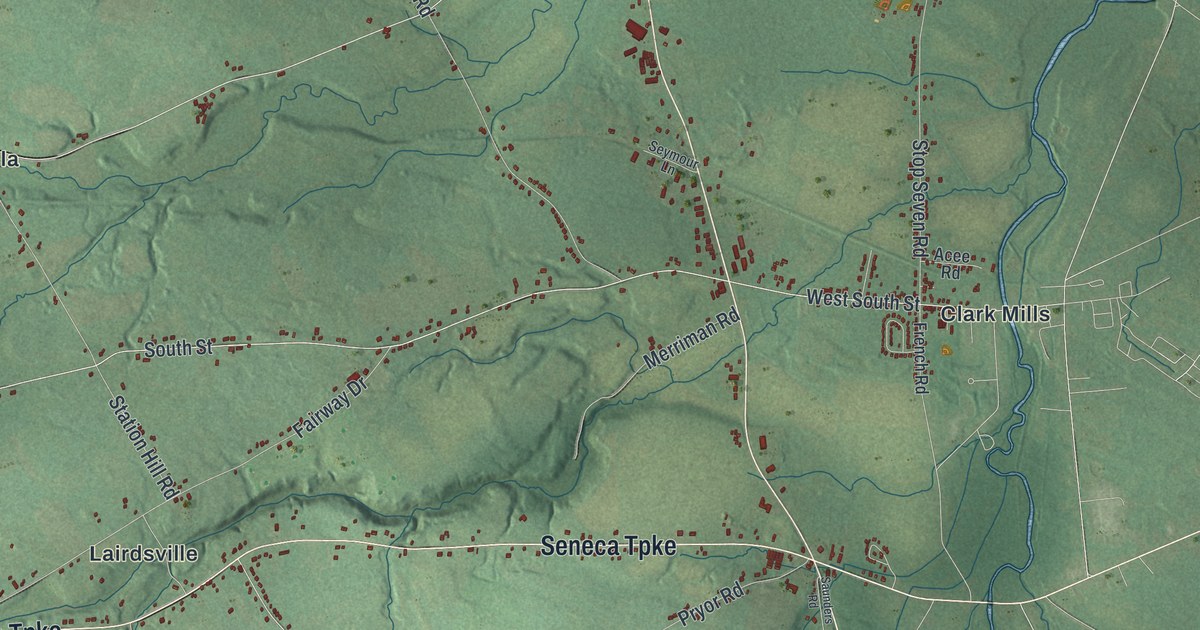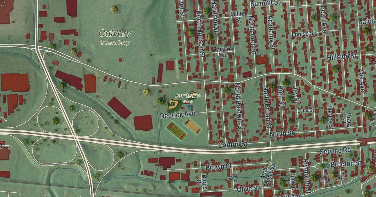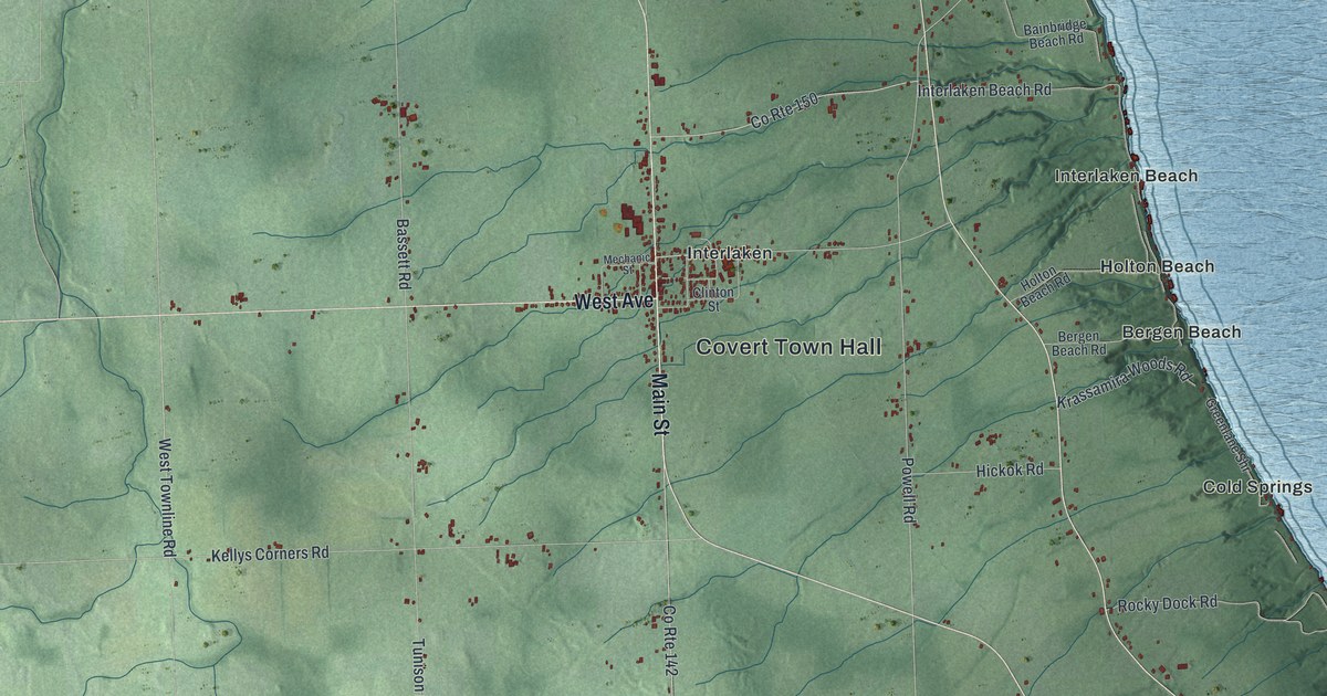
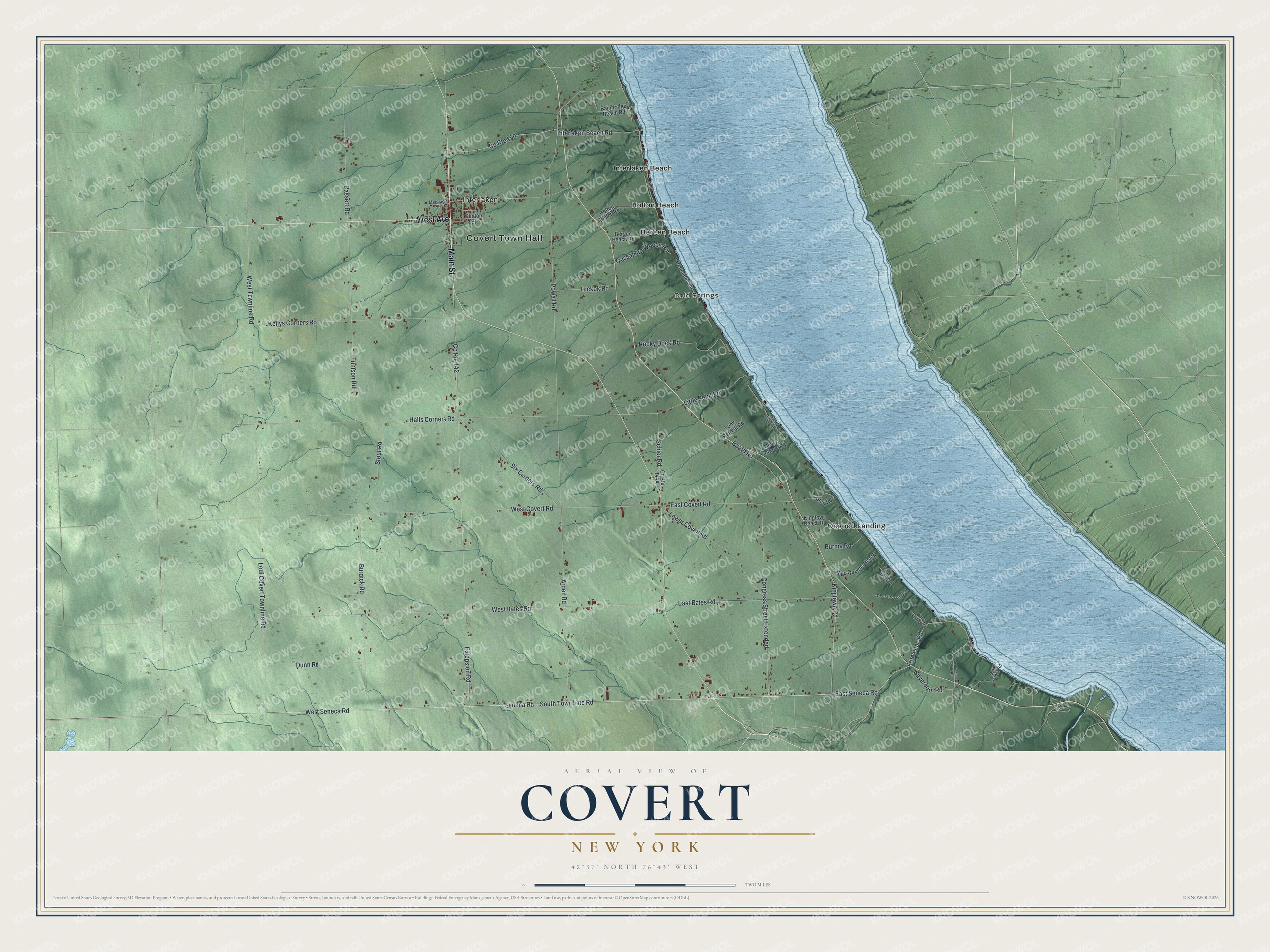
This beautifully detailed map of Covert, New York was created in 2026 using aerial imagery combined with modern topographical, census, street and landmark data. It’s a one-of-a-kind view of Covert that combines accurate data with a vintage aesthetic. The map shows every building in its true location, many of the roads carry their names, and the shaded topographic relief shows the shape of the land.
Explore an aerial view of Covert, New York
On the map you’ll find Covert Town Hall, Bergen Beach, Cold Springs, Holton Beach, Interlaken, and Interlaken Beach, along with Main Street, West Avenue, Seneca Road, Frontenac Road, and more. If you look closely you can even find your house accurately drawn in its correct location. Zoom in on the preview to look for yours.
Did You Know?
The village of Interlaken, in the town of Covert, was once called Farmer. In 1904 the Lehigh Valley Railroad held a contest to rename its depot. Schoolteacher Georgiana Wheeler won with Interlaken, a name from her travels in Switzerland. The village was incorporated under that name on March 2, 1904.
Take a closer look at the Covert map
Names on this map
These names are printed on this map.
Places: Covert Town Hall, Bergen Beach, Cold Springs, Holton Beach, Interlaken, Interlaken Beach and Osgood Landing.
Streets and roads: Main Street, West Avenue, West Seneca Road, East Seneca Road, Frontenac Road, Seneca Road, South Town Line Road, West Covert Road, West Townline Road, East Covert Road, Extension Road, County Route 142.
More street names, A to Z
Arden Road, Bainbridge Beach Road, Bassett Road, Bergen Beach Road, Booth Road, Burdick Road, Burma Road, Clinton Street, Congress Street Extended, County Route 150, Covert Cottage Road, Covert Cottages Road, Deer Crossing Lane, Dunn Road, East Bates Road, Greenlane Shr, Halls Corners Road, Hatch Road, Hickok Road, Holton Beach Road, Interlaken Beach Road, Kellys Corners Road, King Fisher Cv, Kingtown Beach Road, Kingtown Road, Krassamira Woods Road, Little Point Road, Lodi Covert Townline Road, Lone Retreat Road, Lower Covert Road, Mac Queens Beach, Mechanic Street, Oak Harbor Road, Old Orchard Beach, Powell Road, Rocky Dock Road, Savercool Road, Schier Road, Six Corners Road, South Frontenac Point Road, Stout Road, Tunison Road, West Bates Road.
See it on a wall
The Covert map as a framed print. Swipe for more.


This beautifully detailed map of Covert makes an attractive addition to your office, library, or den, and it can even be used to teach children the geography and history of the area. It also makes a great gift for anyone who grew up in Covert or moved away. When you’re done exploring, click here to get your copy of the Covert map.