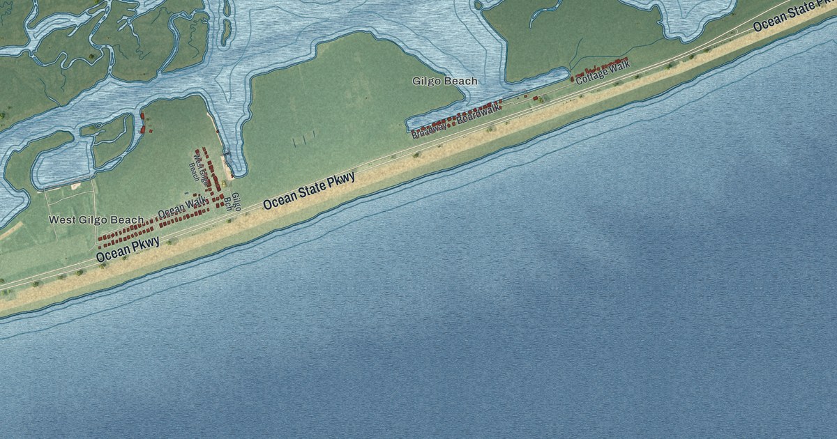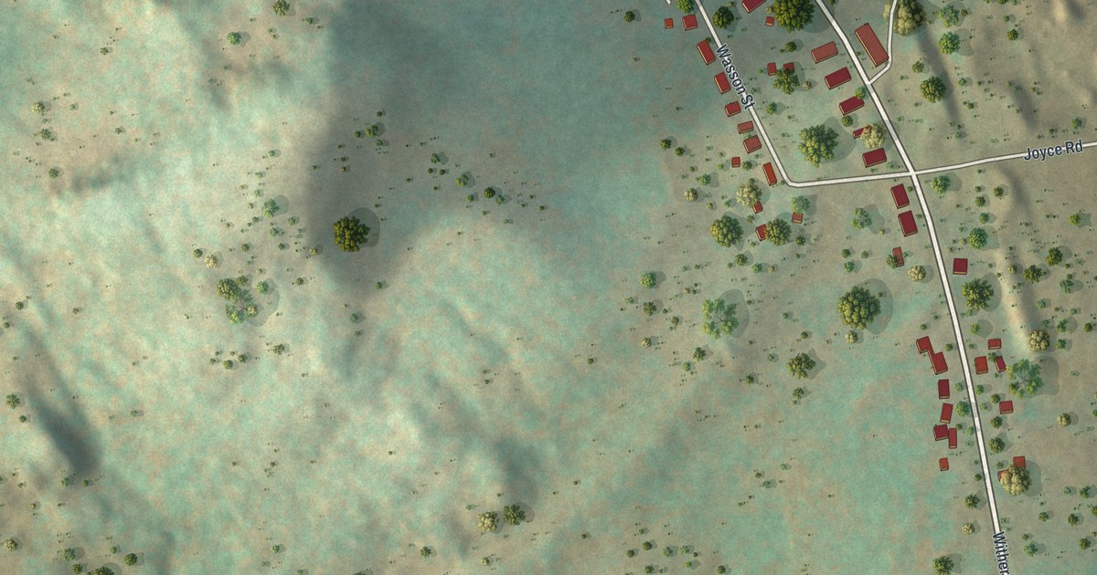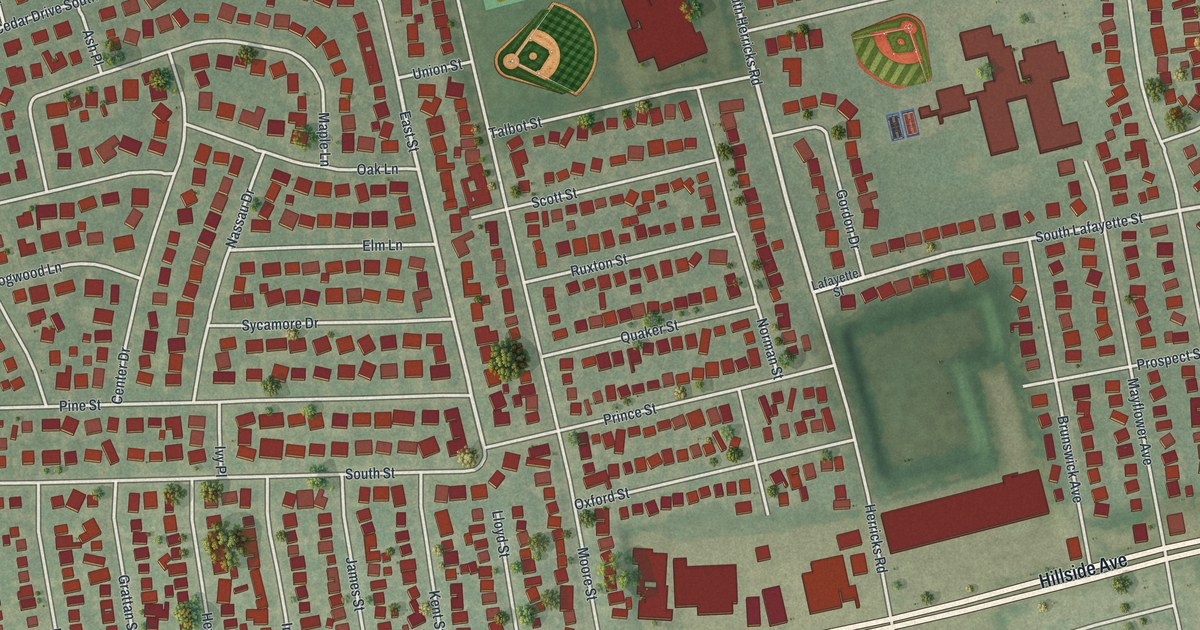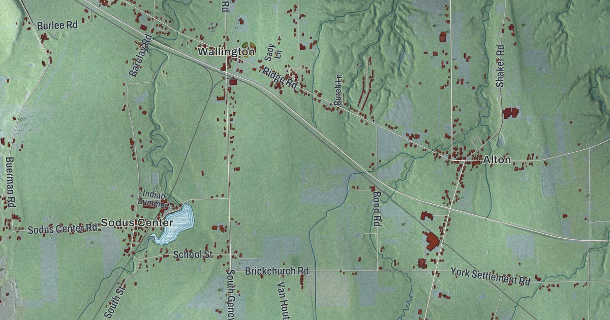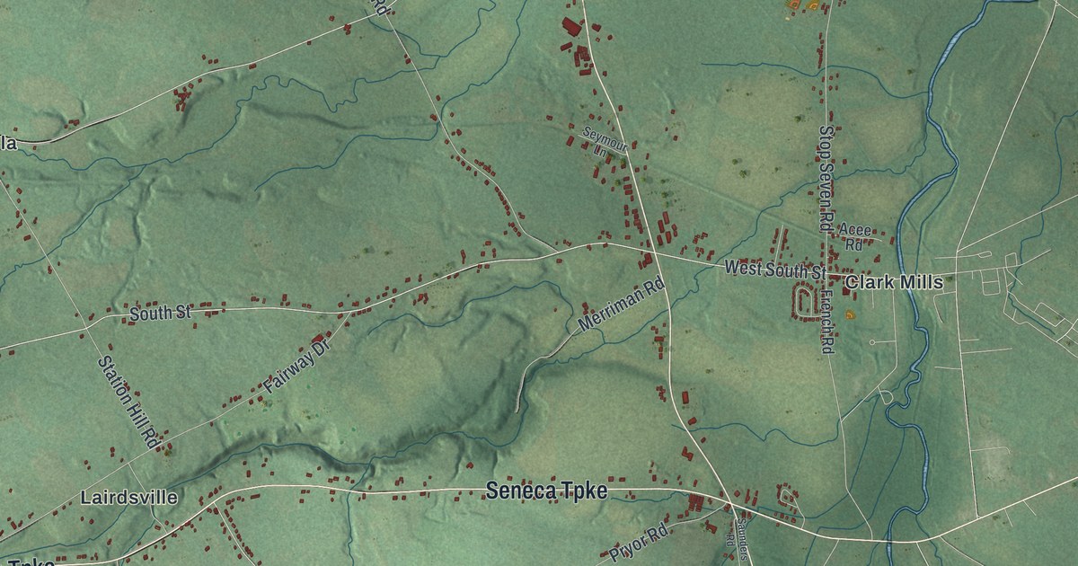
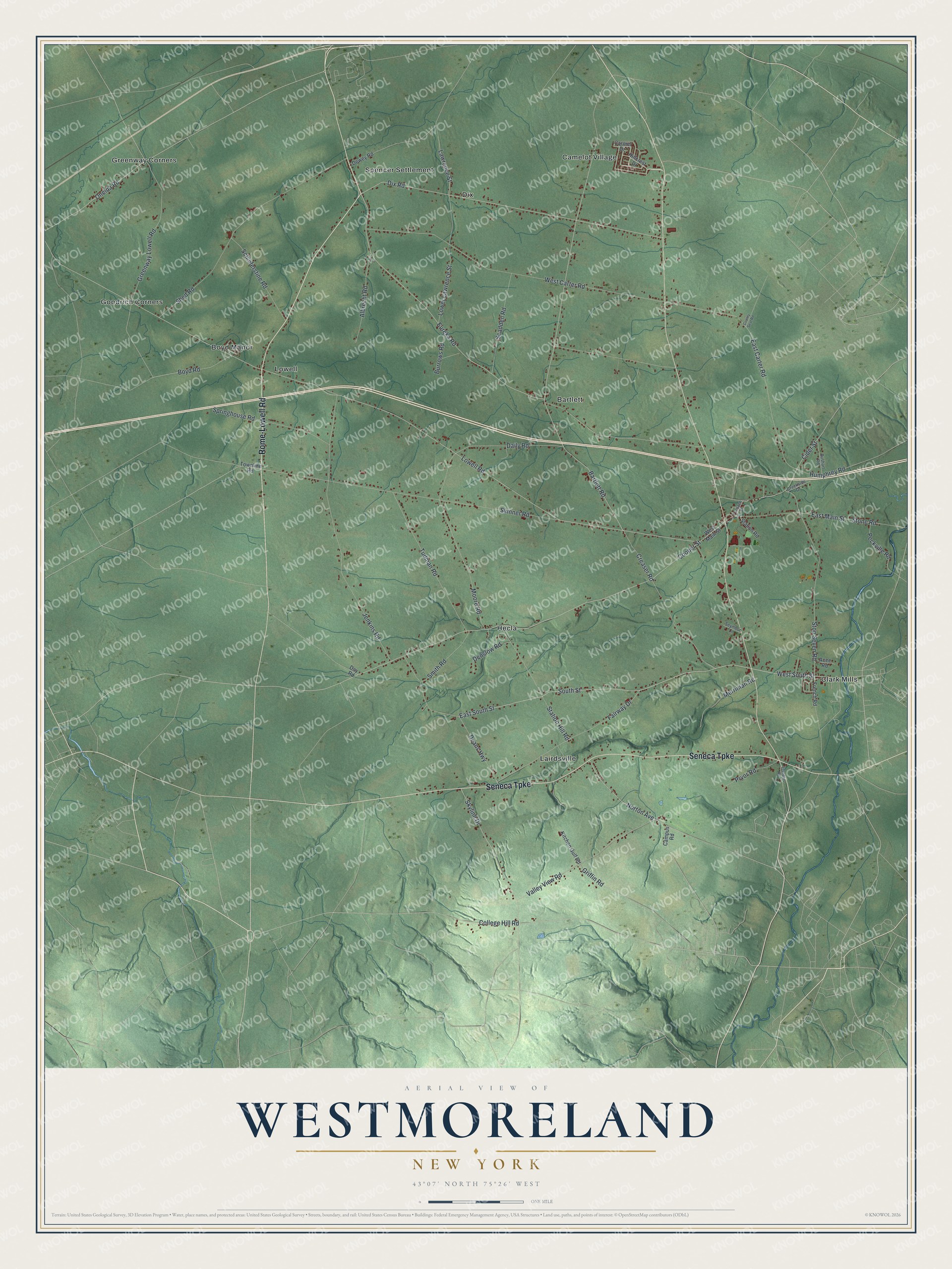
This beautifully detailed map of Westmoreland, New York was created in 2026 using aerial imagery combined with modern topographical, census, street and landmark data. It’s a one-of-a-kind view of Westmoreland that combines accurate data with a vintage aesthetic. The map shows every building in its true location, many of the roads carry their names, and the shaded topographic relief shows the shape of the land.
Explore an aerial view of Westmoreland, New York
On the map you’ll find Bartlett, Camelot Village, Clark Mills, Dix, and Goodrich Corners, along with Rome-Lowell Road, Seneca Turnpike, Lowell Road, South Street, Cooper Street, and more. If you look closely you can even find your house accurately drawn in its correct location. Zoom in on the preview to look for yours.
Did You Know?
The first settler in Westmoreland was James Dean, a missionary who worked among the Oneida people. The town was formed from Whitestown in 1792. It later gave up land to create the towns of Vernon and Verona in 1802 and Kirkland in 1855.
Take a closer look at the Westmoreland map
Names on this map
These names are printed on this map.
Places: Bartlett, Boyd Manor, Camelot Village, Clark Mills, Dix, Goodrich Corners, Greenway Corners, Hecla, Lairdsville, Lowell and Spencer Settlement.
Streets and roads: Rome-Lowell Road, Seneca Turnpike, Lowell Road, South Street, Cooper Street, Bartlett Road, East Carter Road, Greenway Lowell Road, West South Street, East South Street, Skinner Road, Oneida Road.
More street names, A to Z
Acee Road, Albrecht Road, Boyd Road, Burrows Road, Bushart Road, Campus Road, Carmel Drive, Cider Street, College Hill Road, County Seat Road, Creaser Road, Creekside Drive, Daily Road, Day Road, Deans Highway, Denslow Road, Dewey Road, Dix Road, East Main Street, Eureka Road, Fairway Drive, French Road, Furnace Street, Griffin Road, Hillcrest Drive, Humphrey Road, Jenkins Road, Kitchen Gulf Road, Lawrence Street, Lower Lawrence Street, Merriman Road, Moore Road, Norton Avenue, Peckville Road, Pryor Road, Saunders Road, Scadden Road, Schieferstine Road, Seymour Lane, Shed Road, Skyline Drive, Smith Road, Springhouse Road, Station Hill Road, Station Road, Stone Road, Stop Seven Road, Townline Road, Tudman Road, Valley View Road, West Carter Road, West Main Street.
See it on a wall
The Westmoreland map as a framed print. Swipe for more.


This beautifully detailed map of Westmoreland makes an attractive addition to your office, library, or den, and it can even be used to teach children the geography and history of the area. It also makes a great gift for anyone with Westmoreland roots. When you’re done exploring, click here to get your copy of the Westmoreland map.