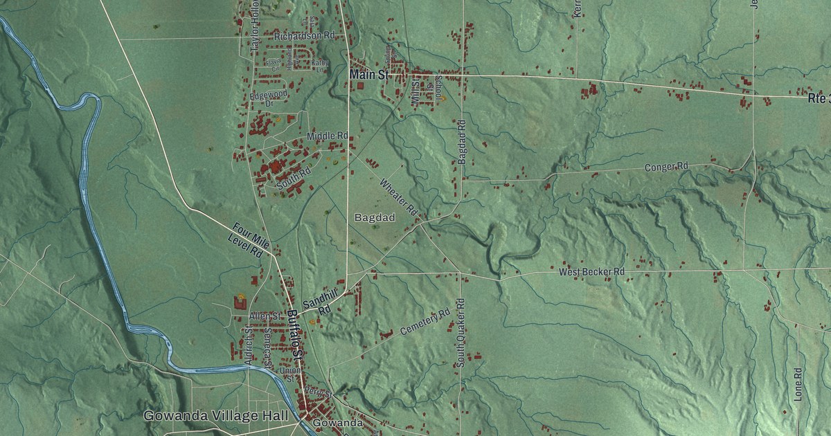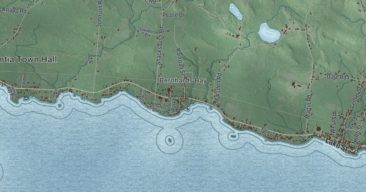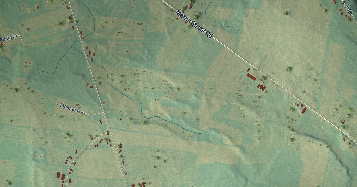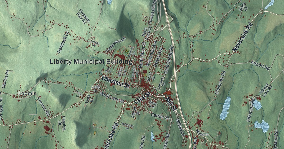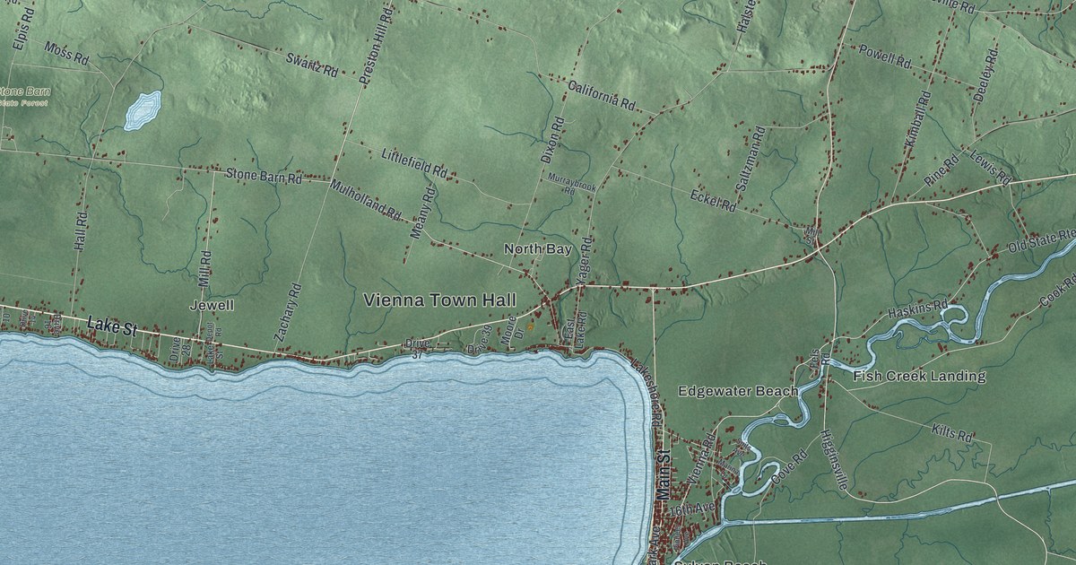
This beautifully detailed map of Vienna, New York was created in 2026 using aerial imagery combined with modern topographical, census, street and landmark data. It’s a one-of-a-kind view of Vienna that combines accurate data with a vintage aesthetic. The map shows every building in its true location, many of the roads carry their names, and the shaded topographic relief shows the shape of the land.
Explore an aerial view of Vienna, New York
On the map you’ll find Vienna Town Hall, Dibbletown, Edgewater Beach, Elpis, Fish Creek Landing, Jewell, and Stone Barn State Forest, along with Lake Street, Main Street, Preston Hill Road, Vienna Road, and more. If you look closely you can even find your house accurately drawn in its correct location. Zoom in on the preview to look for yours.
Did You Know?
Vienna split off from Camden in April 1807. It went through three names in under ten years. It began as Orange and soon became Bengal. In 1816 the town took the name of the Austrian capital, Vienna.
Take a closer look at the Vienna map
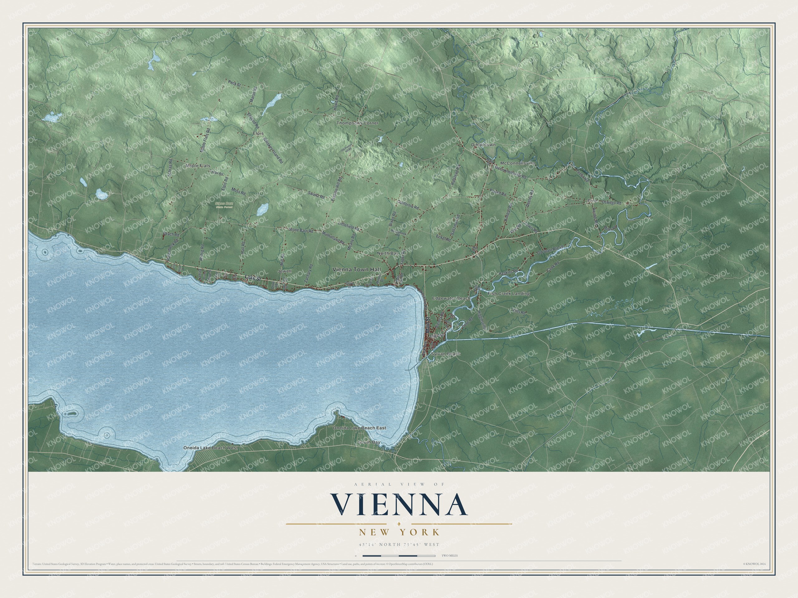
Names on this map
These names are printed on this map.
Places: Vienna Town Hall, Stone Barn State Forest, Dibbletown, Edgewater Beach, Elpis, Fish Creek Landing, Jewell, Maple Flats, McConnellsville, North Bay, Oneida Lake Beach East, Oneida Lake Beach West, Pine, South Bay, Sylvan Beach and Thompsons Corner.
Streets and roads: Lake Street, Main Street, Preston Hill Road, Vienna Road, Cook Road, Higginsville, Maple Flats Road, Mulholland Road, Stone Barn Road, Elpis Road, Dixon Road, Yager Road.
More street names, A to Z
16th Avenue, Beach Road, California Road, Cove Road, Deeley Road, Depot Road, Drive 3, Drive 6, Drive 7, Drive 8, Drive 9, Drive 10, Drive 14, Drive 16, Drive 28, Drive 37, Drive 39, East Lake Road, Eckel Road, Elwood Road, Fels Road, Hallenbeck Road, Hall Road, Halstead Road, Haskins Road, Herder Road, Howd Road, Kilts Road, Kimball Road, Lakeshore Road, Lewis Road, Littlefield Road, Marina Drive, Marsh Road, McConnellsville Road, Meany Road, Miller Road, Mill Road, Mill Street, Moore Drive, Moss Road, Murraybrook Road, Old Preston Hill Road, Old State Route 49, Oswego Road, Park Avenue, Peck Street, Pine Road, Pioneer Avenue, Powell Road, Saltzman Road, Schraa Road, Suits Avenue, Swartz Road, Teelin Road, Tynan Road, Whiskey Island Road, Widrig Road, Zachary Road.
See it on a wall
The Vienna map as a framed print. Swipe for more.


This beautifully detailed map of Vienna makes an attractive addition to your office, library, or den, and it can even be used to teach children the geography and history of the area. It also makes a great gift for anyone who grew up in Vienna or moved away. When you’re done exploring, click here to get your copy of the Vienna map.