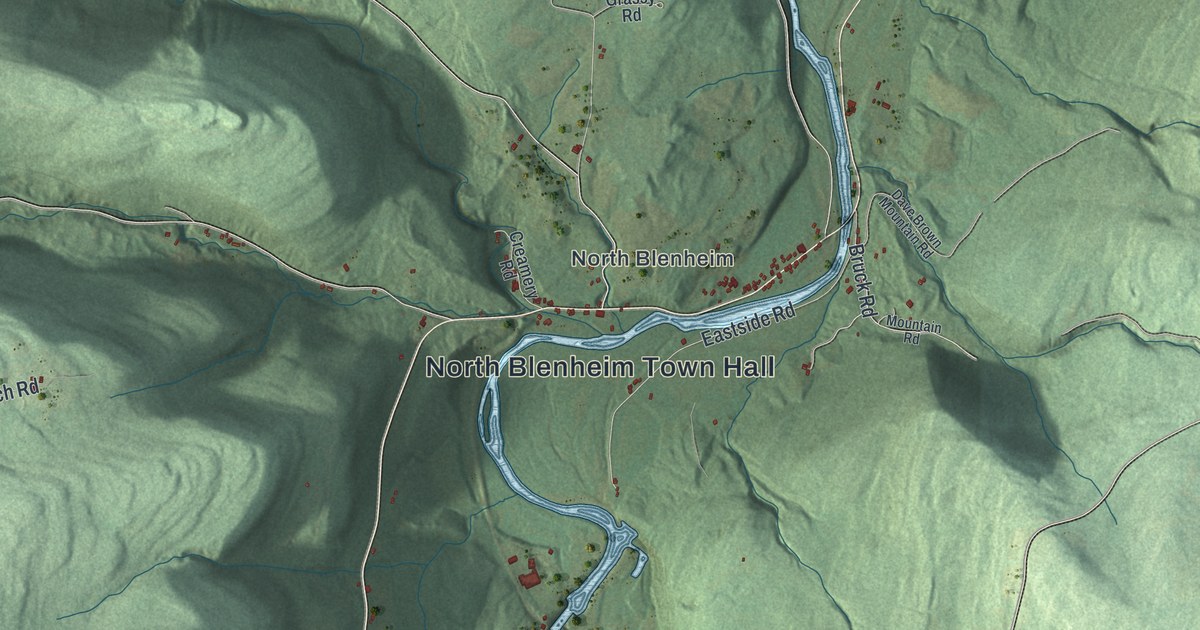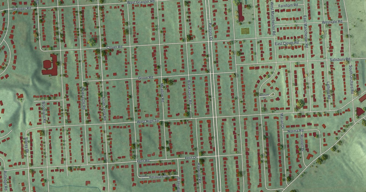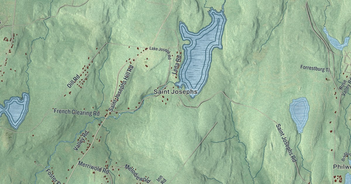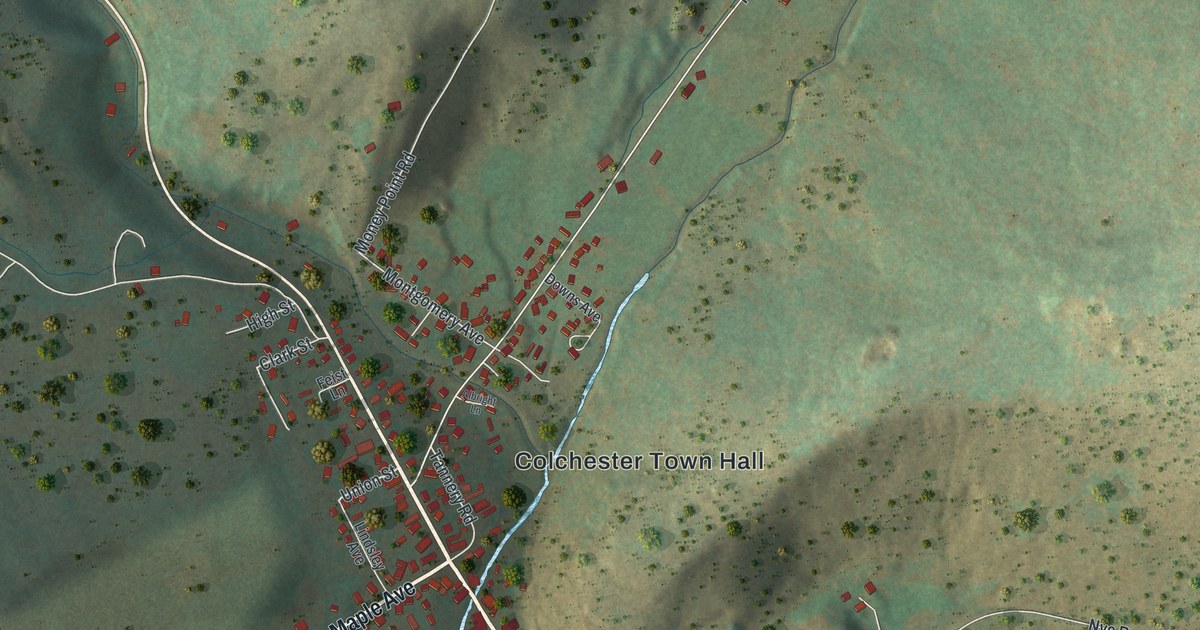
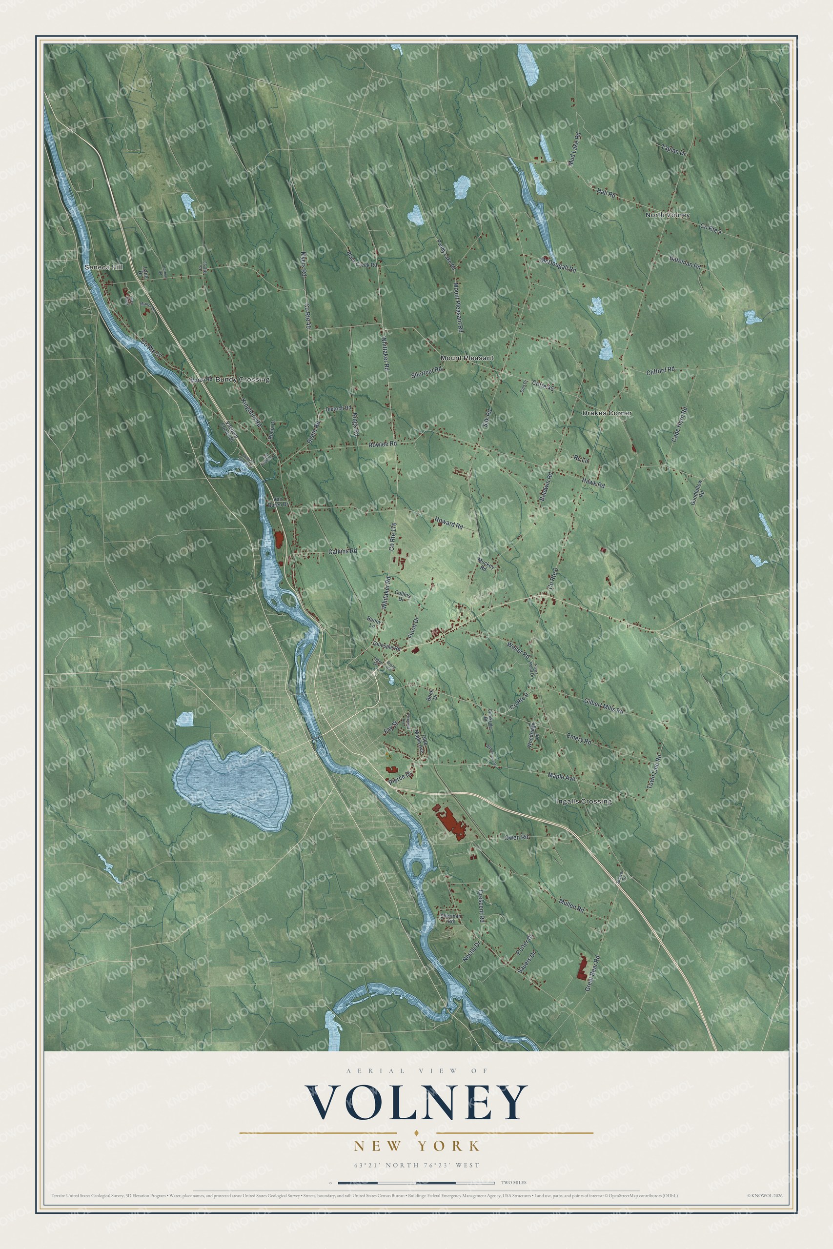
This beautifully detailed map of Volney, New York was created in 2026 using aerial imagery combined with modern topographical, census, street and landmark data. It’s a one-of-a-kind view of Volney that combines accurate data with a vintage aesthetic. The map shows every building in its true location, many of the roads carry their names, and the shaded topographic relief shows the shape of the land.
Explore an aerial view of Volney, New York
On the map you’ll find Seneca Hill, Bundy Crossing, Drakes Corner, Ingalls Crossing, and Mount Pleasant, along with Pierce Drive, Myers Road, Nestle Drive, Silk Road, Baldwin Road, and more. If you look closely you can even find your house accurately drawn in its correct location. Zoom in on the preview to look for yours.
Did You Know?
Volney was carved from the town of Mexico in 1806 and first called Fredericksburgh. In 1811 it was renamed for the Comte de Volney. He was a French author who had toured the area in 1808.
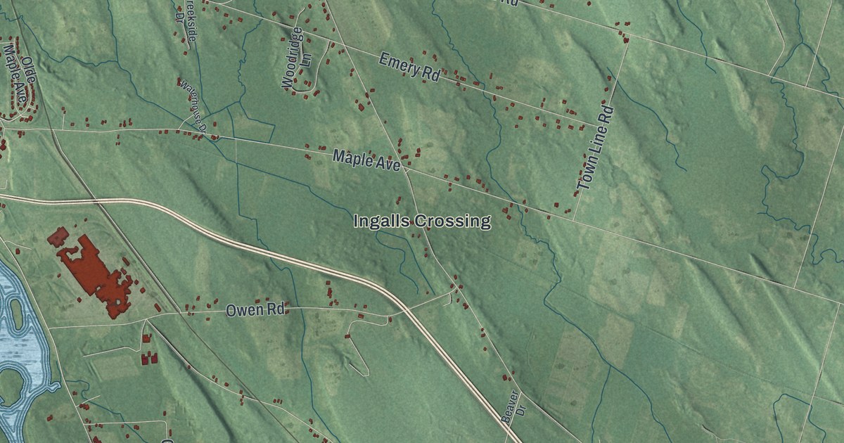
Take a closer look at the Volney map
Names on this map
These names are printed on this map.
Places: Seneca Hill, Bundy Crossing, Drakes Corner, Ingalls Crossing, Mount Pleasant and North Volney.
Streets and roads: County Route 176, Pierce Drive, County Route 57, Corte 45, County Route 45, County Route 9, Myers Road, Nestle Drive, County Route 6, Silk Road, Baldwin Road, Rowlee Road.
More street names, A to Z
Bateman Road, Beaver Drive, Black Creek Road, Bock Drive, Bristol Hill, Bunny Lane, Calkins Road, Cape Horn Road, Chalone Drive West, Clifford Road, Collins Drive, County Route 4, County Route 53, Creekside Drive, Crescent Road, Deer Ridge, Dietrich Road, Distin Road, Doo Drive, East Chalone Drive, Emery Road, Fay Street, Fivoz Pond Drive, Flood Drive, Foxwood Avenue, Gilbert Mills Road, Gillespie Road, Goodfellow Road, Great Bear Road, Hall Road, Hawk Road, Heer Drive, Howard Road, Kerfien Road, Kingdom Road, Kings Road, Lane Drive, Manor Drive, Maple Avenue, March Road, McDougall Road, Mount Pleasant Road, Muckey Road, Mud Lake Road, Mullen Road, Olde Maple Avenue, Owen Road, Paddy Lake Road, Porter Drive, Rc Lane, Roma Drive, Sauers Drive, Sherman Road, Shortcut Road, Taplan Drive, Town Line Road, Vacuum Cooler Drive, Van Buren Drive, Waterhouse Drive, Weller Road, Whitaker Road, Whittaker Road, Woodridge Lane.
See it on a wall
The Volney map as a framed print. Swipe for more.


This beautifully detailed map of Volney makes an attractive addition to your office, library, or den, and it can even be used to teach children the geography and history of the area. It also makes a great gift for anyone who grew up in Volney or moved away. When you’re done exploring, click here to get your copy of the Volney map.