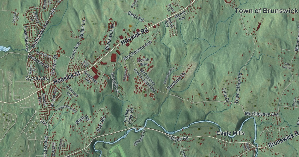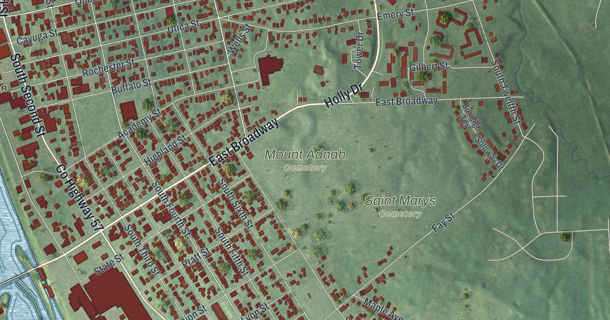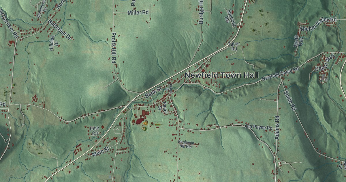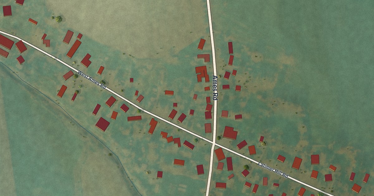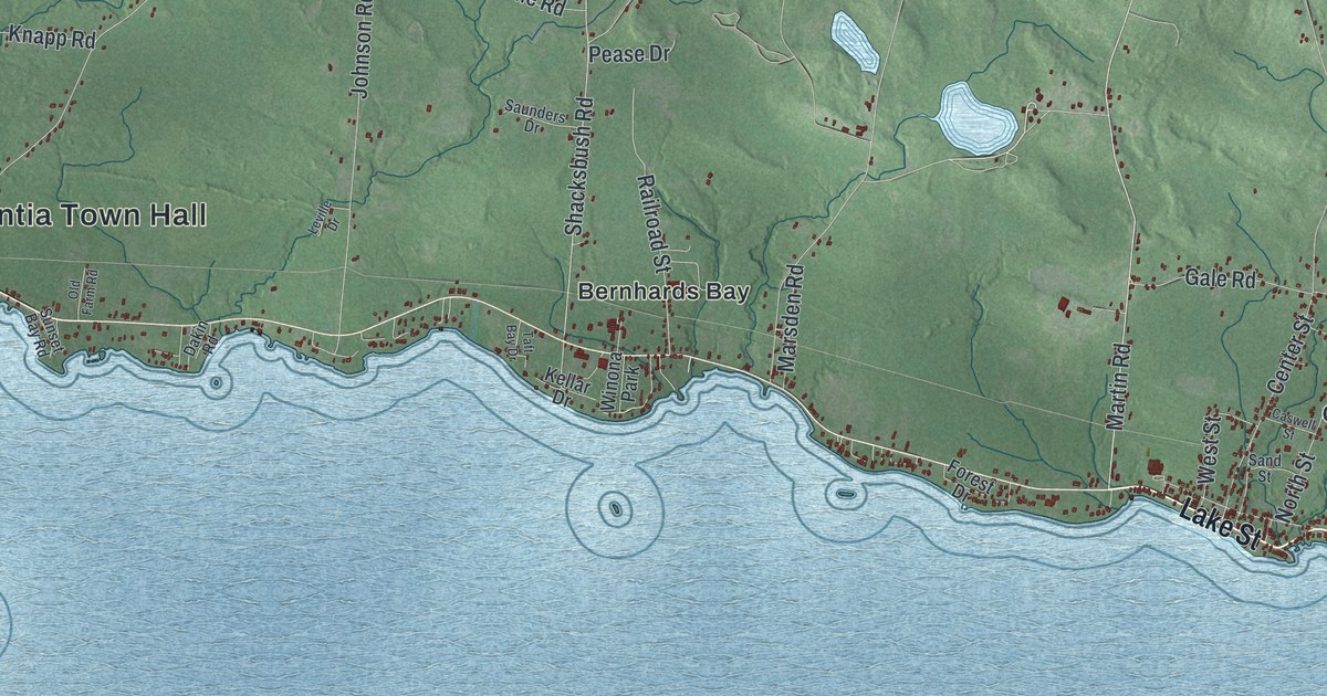
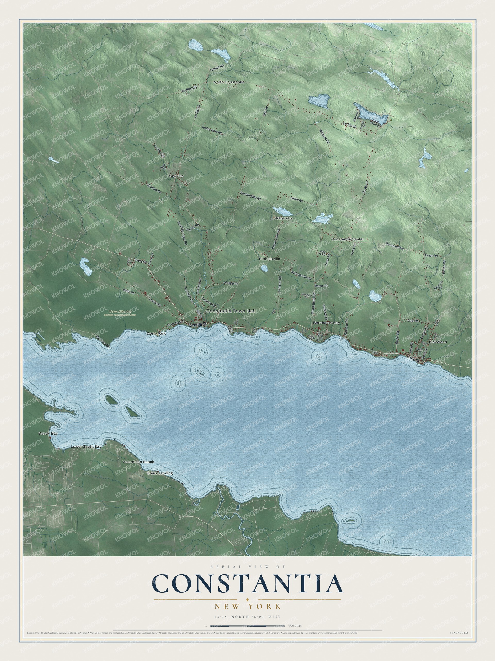
This beautifully detailed map of Constantia, New York was created in 2026 using aerial imagery combined with modern topographical, census, street and landmark data. It’s a one-of-a-kind view of Constantia that combines accurate data with a vintage aesthetic. The map shows every building in its true location, many of the roads carry their names, and the shaded topographic relief shows the shape of the land.
Explore an aerial view of Constantia, New York
On the map you’ll find Constantia Town Hall, Bernhards Bay, Cleveland, Constantia Center, Doris Park, Dutcherville, and Three Mile Bay Wildlife Management Area, along with Lake Street, George Street, Martin Road, Schraa Road, and more. If you look closely you can even find your house accurately drawn in its correct location. Zoom in on the preview to look for yours.
Did You Know?
Settlers reached Constantia around 1793, when the place was called Rotterdam. Francis Adrian Vanderkemp and Marc Isambard Brunel both lived here in those early years. The town was formed in 1808 from part of the town of Mexico.
Take a closer look at the Constantia map
Names on this map
These names are printed on this map.
Places: Constantia Town Hall, Three Mile Bay Wildlife Management Area, Bernhards Bay, Cleveland, Constantia Center, Doris Park, Dutcherville, Gayville, Kraus Landing, Lower South Bay, Nicholsville, North Constantia, Sandy Bay, Valentines Beach and Winona Park.
Streets and roads: Lake Street, George Street, Martin Road, Schraa Road, North Street, Shacksbush Road, County Route 23, County Route 17, Center Street, Salt Road, Dutcherville Road, Kibbie Lake Road.
More street names, A to Z
Adrian Circle, Auringer Road, Avery Road, Caswell Street, Cemetery Road, Cook Road, County Route 65, Dakin Road, Doris Park Drive, Forest Drive, Gale Road, Grannis Road, Holley Hole Road, Holly Park Drive, Holst Road, Johnson Road, Kellar Drive, Knapp Road, Leville Drive, Lewis Road, Lower Road, Maloney Road, Marsden Road, McCloud Road, Mill Street, Nicholsville Road, North Auringer Road, Old Farm Road, Old North Street, Oneida Street, Parker Road, Pease Drive, Peck Drive, Railroad Street, Reservoir Drive, Roosevelt Road, Sand Street, Saunders Drive, Simons Drive, South Shore Drive, Sunfish Drive, Sunset Bay Road, Taft Bay Drive, Tanner Road, Tannery Road, Tynan Road, West Road, West Street, Whipple Road.
See it on a wall
The Constantia map as a framed print. Swipe for more.


This beautifully detailed map of Constantia makes an attractive addition to your office, library, or den, and it can even be used to teach children the geography and history of the area. It also makes a great gift for anyone with Constantia roots. When you’re done exploring, click here to get your copy of the Constantia map.