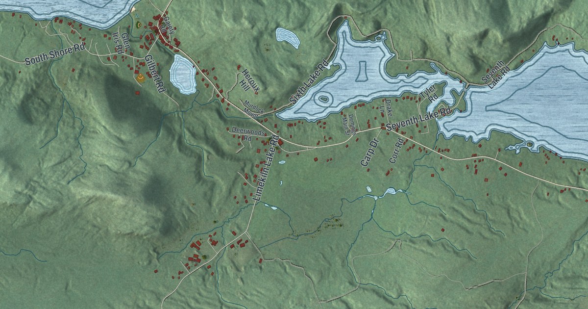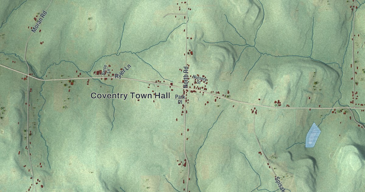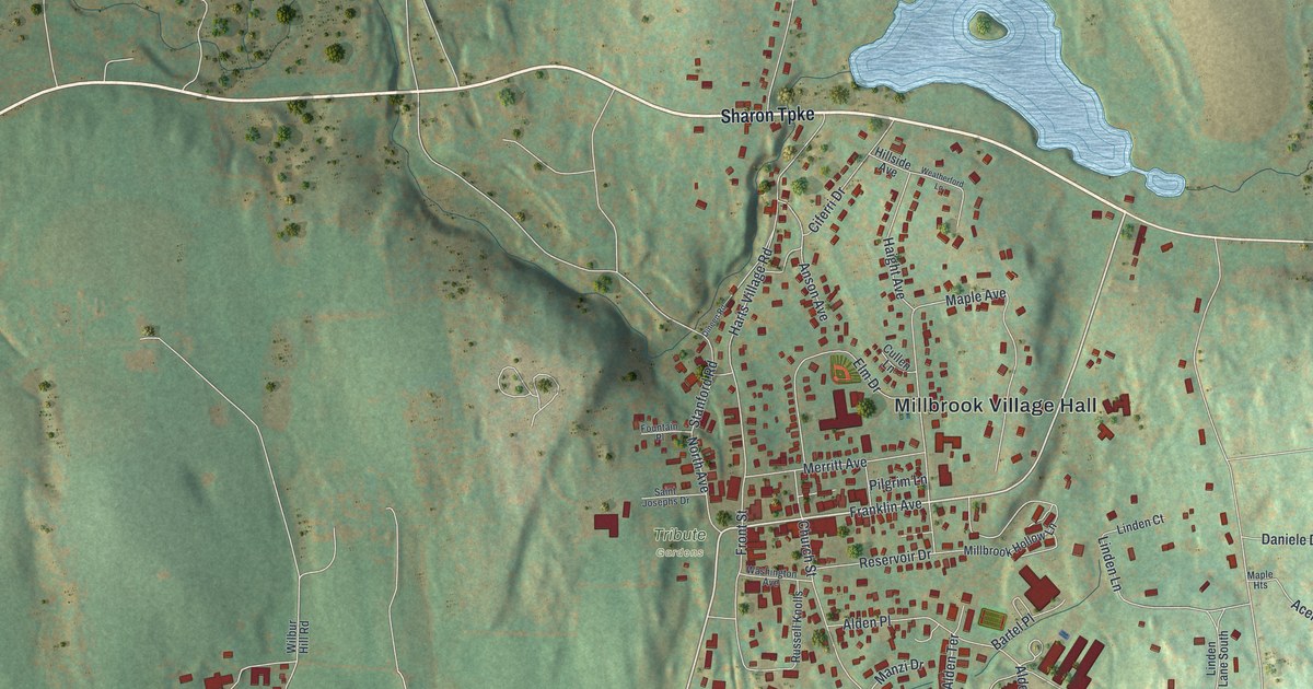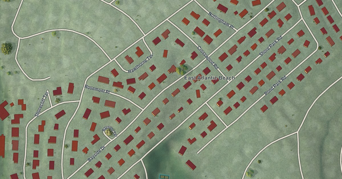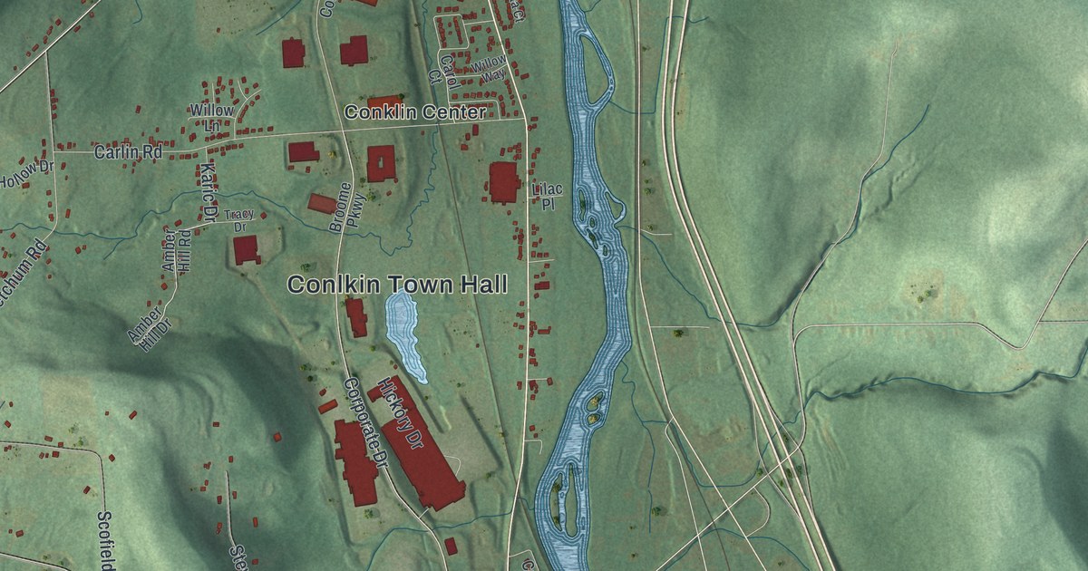
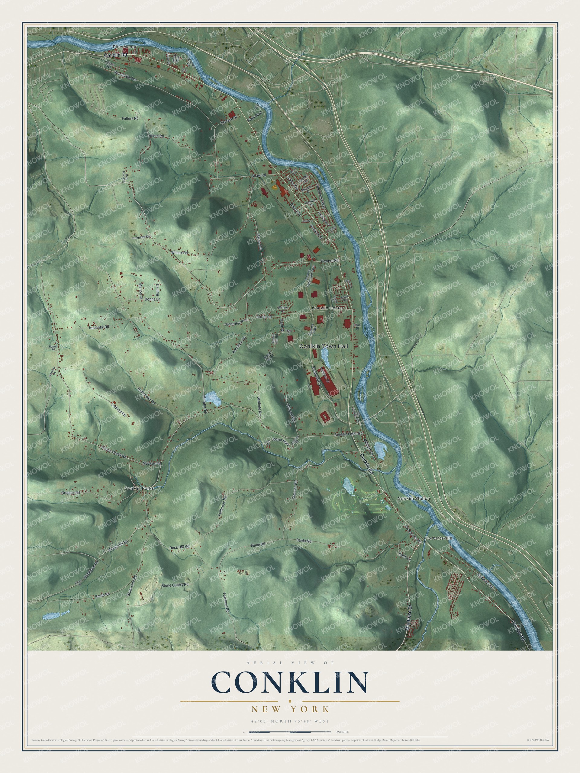
This beautifully detailed map of Conklin, New York was created in 2026 using aerial imagery combined with modern topographical, census, street and landmark data. It’s a one-of-a-kind view of Conklin that combines accurate data with a vintage aesthetic. The map shows every building in its true location, many of the roads carry their names, and the shaded topographic relief shows the shape of the land.
Explore an aerial view of Conklin, New York
On the map you’ll find Conlkin Town Hall, Corbettsville, Conklin Center, Conklin Forks, and Conklin Station, along with Conklin Road, Montrose Drive, Powers Road, Pierce Creek Road, and more. If you look closely you can even find your house accurately drawn in its correct location. Zoom in on the preview to look for yours.
Did You Know?
In 1900, Conklin resident Alpheus Corby built himself a home that looked like a castle. That building now serves as the town hall. The National Register of Historic Places added it in 2006. Settlers had first come to this area around 1788, and Conklin became a town in 1824.
Take a closer look at the Conklin map
Names on this map
These names are printed on this map.
Places: Conlkin Town Hall, Pine Manor, Corbettsville, Conklin Center, Conklin Forks and Conklin Station.
Streets and roads: Conklin Road, Montrose Drive, Powers Road, Pierce Creek Road, Finch Road, Farnham Road, Corporate Drive, Woodcrest Way, Gregory Road, Conklin Forks Road, Fallbrook Road, Murphy Road.
More street names, A to Z
Ahern Road, Alta Road, Amber Hill Drive, Amber Hill Road, Banta Road, Berota Court, Boyle Boulevard, Brady Hill Road, Brinkman Road, Broome Corporate Parkway, Broome Parkway, Calabrisi Road, Carlin Road, Carol Court, Cherry Drive, Coleman Road, Coolidge Street, Corbettsville Road, Crozer Road, Donna Lane, Edison Avenue, Felters Road, Gee Street, Gratsinger Road, Hardie Road, Hickory Drive, Howell Road, Inamour Drive, June Street, Junior Boulevard, Kabanek Road, Karic Drive, Keith Lane, Ketchum Road, Lathrop Road, Leslie Avenue, Lilac Place, Lotus Avenue, Marion Court, Masker Road, McD Boundary, Melody Lane, Millburn Drive, Morris Boulevard, Muckey Road, Munson Street, Old Conklin Road, River Boulevard, Ross Hill Road, Roxbury Street, Ruth Court, Saddlemire Road, Scofield Road, Shaw Road, Shipman Road, Smith Road, Spring Hollow Drive, State Line Road, Stenson Road, Stewart Road, Stillwater Road, Stone Quarry Road, Tandler Avenue, Terrace Drive, Tracy Drive, Whiting Way, Wilcox Road, Willow Lane, Willow Way, Woodside Avenue.
See it on a wall
The Conklin map as a framed print. Swipe for more.


This beautifully detailed map of Conklin makes an attractive addition to your office, library, or den, and it can even be used to teach children the geography and history of the area. It also makes a great gift for anyone with Conklin roots. When you’re done exploring, click here to get your copy of the Conklin map.