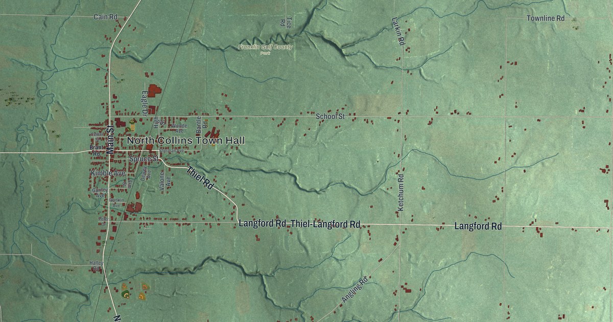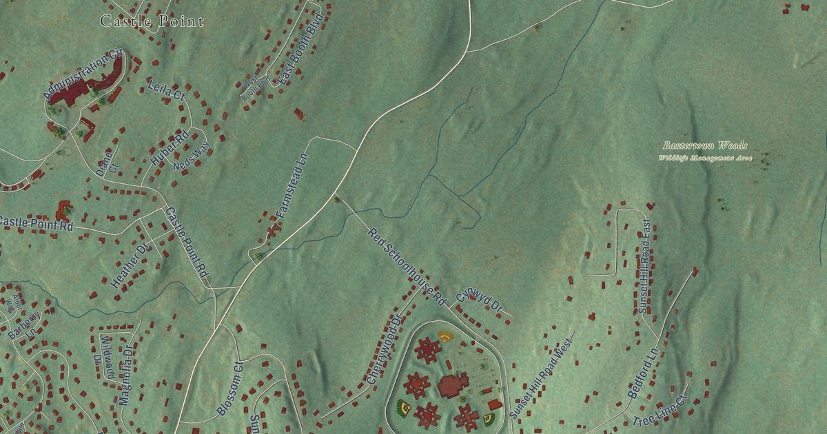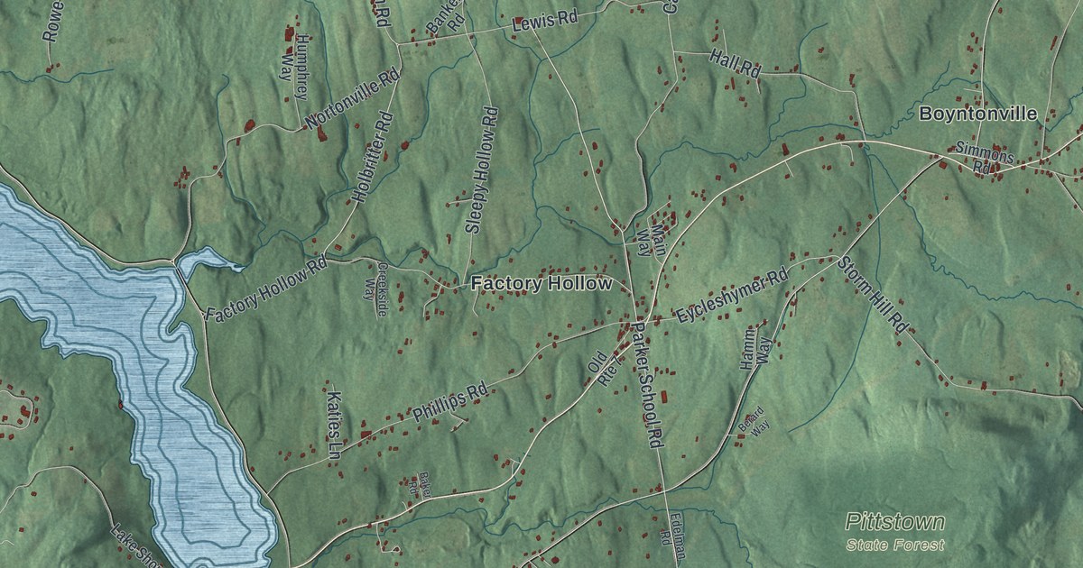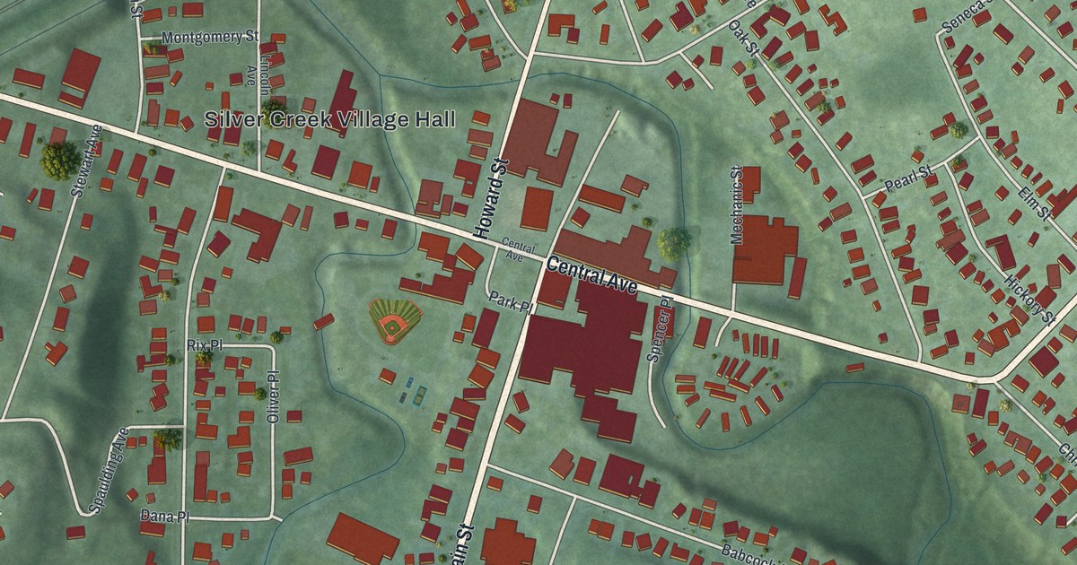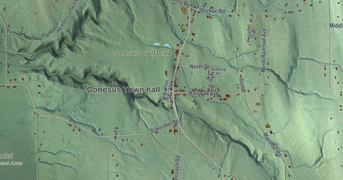
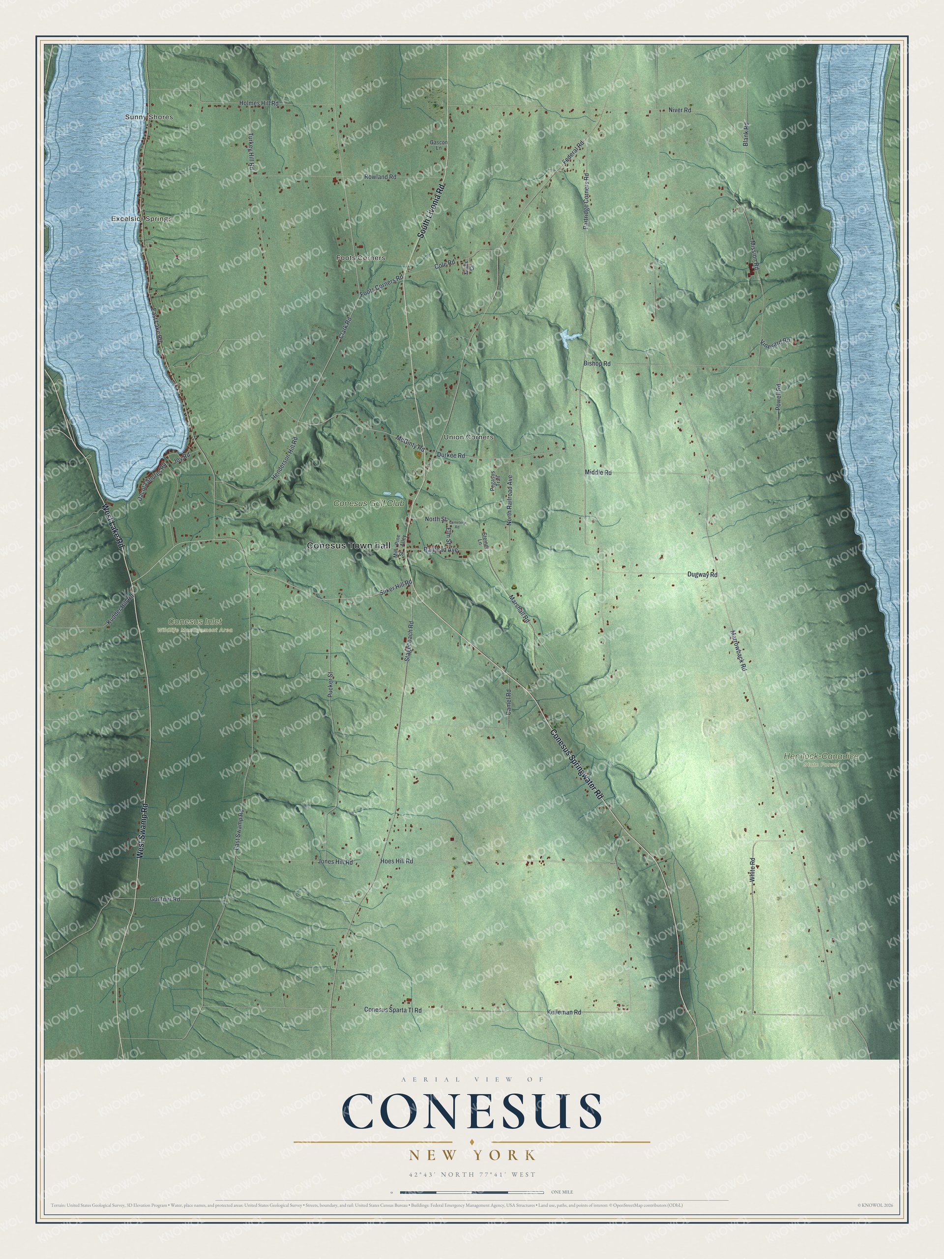
This beautifully detailed map of Conesus, New York was created in 2026 using aerial imagery combined with modern topographical, census, street and landmark data. It’s a one-of-a-kind view of Conesus that combines accurate data with a vintage aesthetic. The map shows every building in its true location, many of the roads carry their names, and the shaded topographic relief shows the shape of the land.
Explore an aerial view of Conesus, New York
On the map you’ll find Conesus Town hall, Sunny Shores, Excelsior Springs, Foots Corners, Union Corners, Conesus Inlet Wildlife Management Area, and Hemlock-Canadice State Forest, along with Conesus Springwater Road, Livonia Road, Swamp Road, Lake Road, and more. If you look closely you can even find your house accurately drawn in its correct location. Zoom in on the preview to look for yours.
Did You Know?
The town was formed in 1819 from parts of Groveland and Livonia under the name Freeport. In March 1825 it was renamed Bowersville. Just one month later, the name changed again to Conesus, and it has stayed that way since.
Take a closer look at the Conesus map
Names on this map
These names are printed on this map.
Places: Conesus Town hall, Sunny Shores, Excelsior Springs, Foots Corners, Union Corners, Conesus Inlet Wildlife Management Area, Hemlock-Canadice State Forest and Conesus Golf Club.
Streets and roads: Conesus Springwater Road, South Livonia Road, West Swamp Road, West Lake Road, Clark Road, Hoes Hill Road, McGinty Road, Jones Hill Road, Sliker Hill Road, Marrowback Road, East Lake Road, East Swamp Road.
More street names, A to Z
Bishop Road, Blank Road, Camel Road, Cemetery Road, Cole Road, Conesus Sparta Tl Road, Dacola Shores Road, Dugway Road, Durkee Road, Elm Street, Federal Road, Foots Corners Road, Gascon Lane, Guiltner Road, Henderson Hill Road, Holmes Hill Road, Joy Road, Kelleman Road, Kudder Hill Road, Marshall Road, Middle Road, Mill Street, Mission Road, Neil's Court, Niver Road, North Railroad Avenue, North Street, Partridge Corners Road, Pegasus Trail, Pine Alley, Powell Road, Pucker Street, Railroad Avenue, Rowland Road, Stagecoach Road, Steiner Lane, Turkey Hill Road, Vineyard Road, White Road.
See it on a wall
The Conesus map as a framed print. Swipe for more.


This beautifully detailed map of Conesus makes an attractive addition to your office, library, or den, and it can even be used to teach children the geography and history of the area. It also makes a great gift for someone who left Conesus and still calls it home. When you’re done exploring, click here to get your copy of the Conesus map.