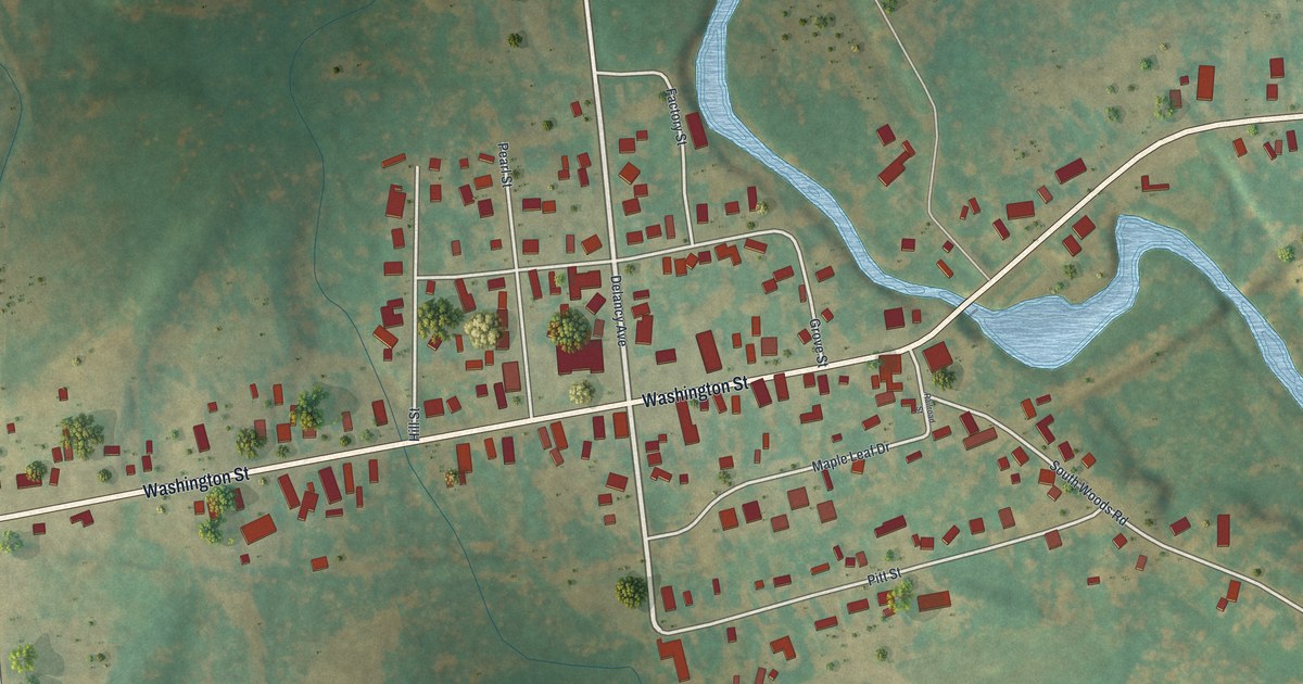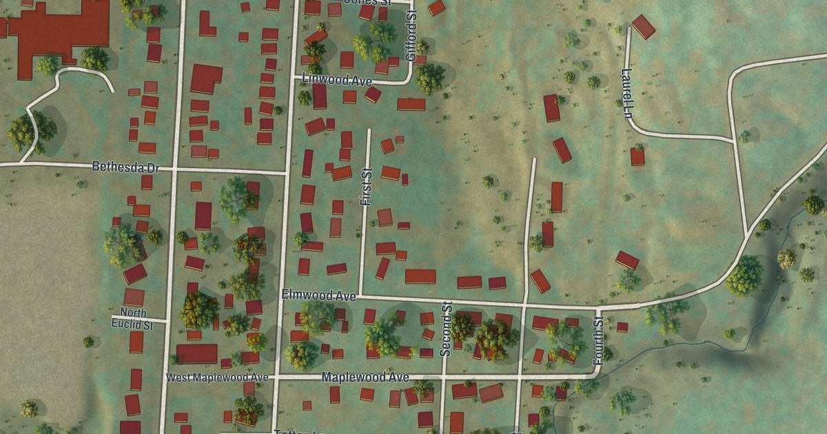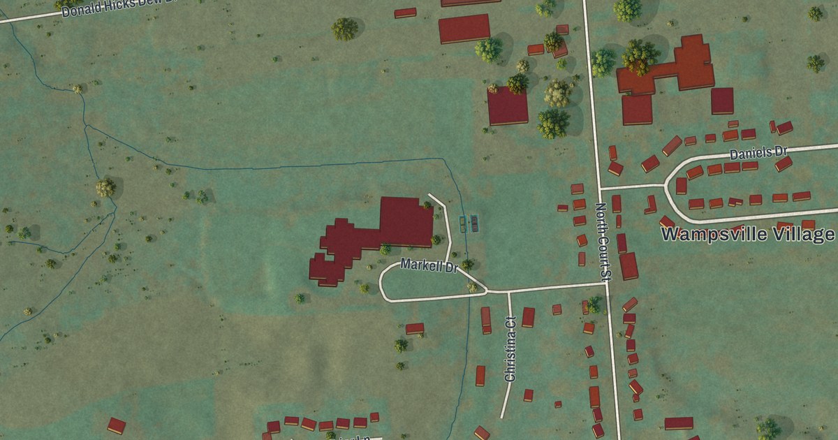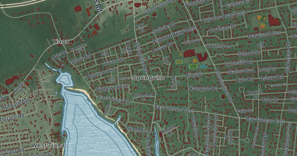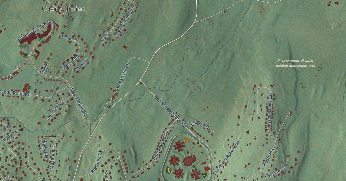
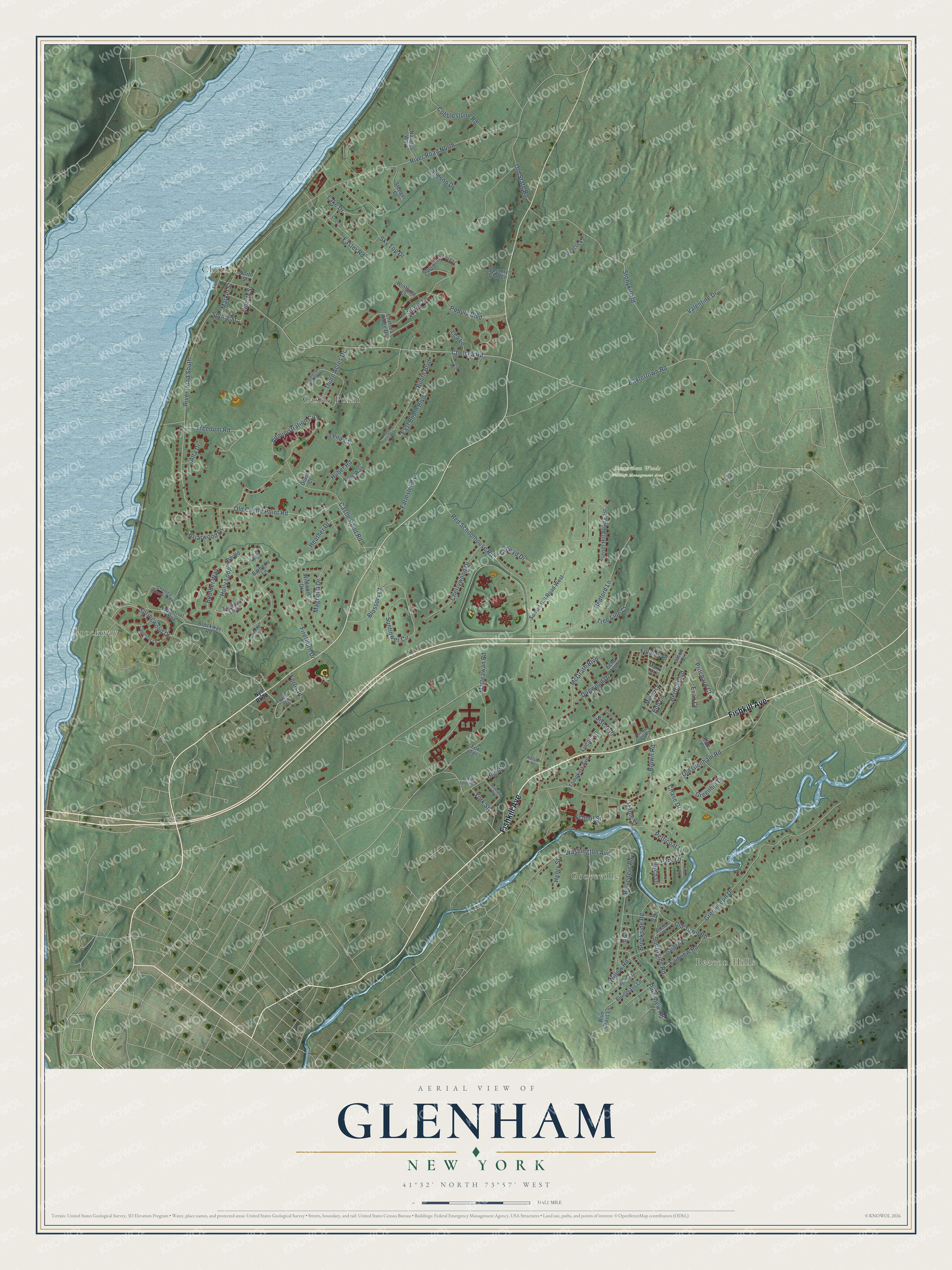
This beautifully detailed map of Glenham, New York was created in 2026 using aerial imagery combined with modern topographical, census, street and landmark data. It’s a one-of-a-kind view of Glenham that combines accurate data with a vintage aesthetic. The map shows every building in its true location, many of the roads carry their names, and the shaded topographic relief shows the shape of the land.
Explore an aerial view of Glenham, New York
On the map you’ll find Beacon Hills, Groveville, Chelsea, Brockway, Baxtertown Woods Wildlife Management Area, and Castle Point, along with Fishkill Avenue, Springwood Drive, Old Castle Point Road, River Road South, Matteawan Road, Freedom Road, and more. If you look closely you can even find your house accurately drawn in its correct location. Zoom in on the preview to look for yours.
Did You Know?
From Internet Archive: "The mother, Mary Haigh Wait, was a native of this country, but of English ancestry, her parents having emigrated from the old country to America, and settled in Glenham, Dutchess County, N.Y."
Glenham is a community in Dutchess County.
Take a closer look at the Glenham map
Names on this map
These names are printed on this map.
Places: Beacon Hills, Groveville, Chelsea, Brockway, Baxtertown Woods Wildlife Management Area and Castle Point.
Streets and roads: Fishkill Avenue, Springwood Drive, Old Castle Point Road, River Road South, Matteawan Road, Freedom Road, Petticoat Lane, Spring Street, Chelsea Road, Red Schoolhouse Road, Old Glenham Road, River Road North.
More street names, A to Z
Administration Circle, Alder Way, Alta Drive, Ash Road, Barberry Lane, Baxtertown Road, Bedford Lane, Belvedere Road, Bertha Boulevard, Birch Drive, Blossom Court, Blue Grass Lane, Bluegrass Lane, Bob Lane, Booth Boulevard, Boulder Way, Briarwood Drive, Bridge Street Md, Brockway Road, Brookside Road, Brown Road, Caroline Drive West, Castle Point Road, Cedardale Loop, Chase Drive, Chelsea Industrial Pk, Chelsea Ridge Drive, Cherrywood Drive, Circle Drive, Clermont Lane, Cobblestone Road, Country Club Lane, Cynwyd Drive, Diane Court, Dogwood Drive, East Booth Boulevard, Easter Road, Echo Lane, Evan Court, Fairview Road, Farmstead Lane, Firethorn Drive, Forman Place, Fortis Place, Fox Terrace, Front Street, Fun Place, Garden Place, Greenhill Drive, Greenwood Drive, Heather Drive, Henry Street, High Street, Holly Loop, Huber Road, Hudson Drive, Industrial Way, Jacob Drive, Joy Place, Katz Place, Lake Drive, Lea Lane, Legion Lane, Leila Court, Liberty Street, Lilac Lane, Linden Place, Lucas Lane, Magnolia Drive, Maple Street, Market Street, Mark Place, McGrath Boulevard, Meadow Lane, Milton Lane, Natures Way, Neds Way, Nelson Place, North Street, Old State Road, Old Town Road, Pappas Lane, Park Lane, Peacock Lane, Pine View Road, Pond Place, Pondview Loop, Popula Boulevard, Pritchard Court, Rocky Glen Road, Sandra Place, School Street, Scofield Road, Sherwood Forest, Siscar Place, Sky Top Drive, Stenger Court, Stonykill Road, Sunflower Circle, Sunnyside Road, Sunset Hill Road East, Sunset Hill Road West, Surrey Lane, Thorn Acres Drive, Tompkins Avenue, Tree Line Court, Valentine Drive, Washington Avenue, West Booth Boulevard, Wildwood Drive, Willow Road, Winthrop Court, York Street.
See it on a wall
The Glenham map as a framed print. Swipe for more.


This beautifully detailed map of Glenham makes an attractive addition to your office, library, or den, and it can even be used to teach children the geography and history of the area. It also makes a great gift for anyone who grew up in Glenham or moved away. When you’re done exploring, click here to get your copy of the Glenham map.