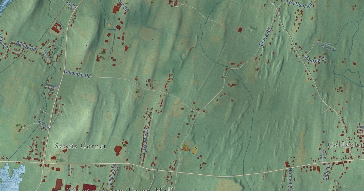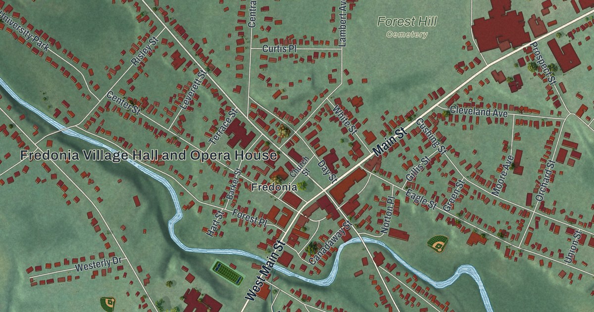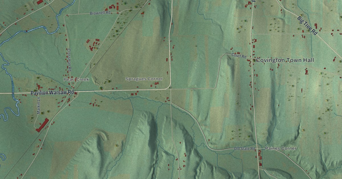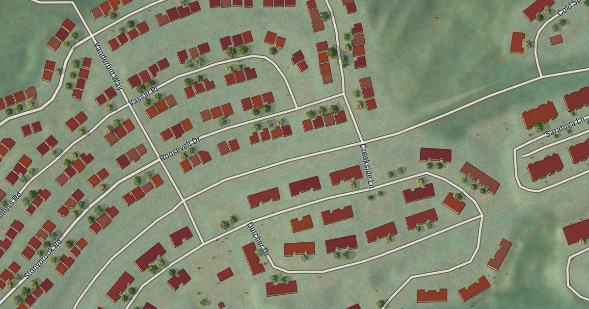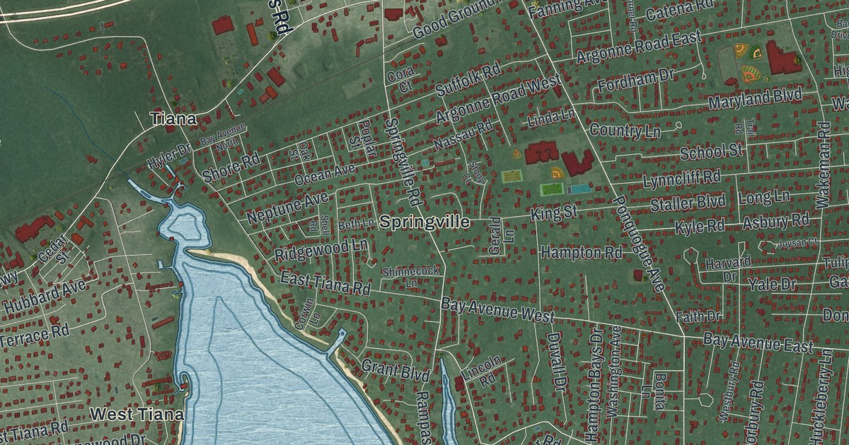
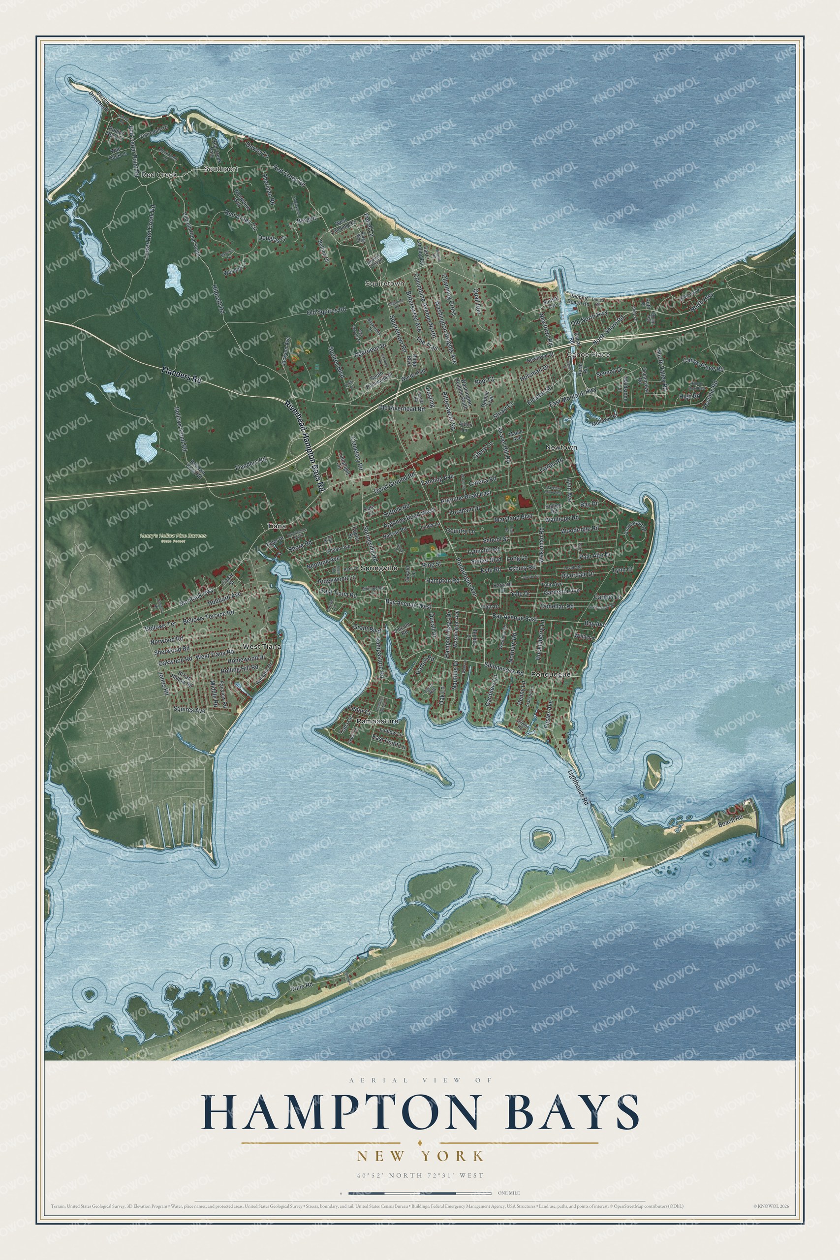
This beautifully detailed map of Hampton Bays, New York was created in 2026 using aerial imagery combined with modern topographical, census, street and landmark data. It’s a one-of-a-kind view of Hampton Bays that combines accurate data with a vintage aesthetic. The map shows every building in its true location, many of the roads carry their names, and the shaded topographic relief shows the shape of the land.
Explore an aerial view of Hampton Bays, New York
On the map you’ll find Southport, Red Creek, Squiretown, Canoe Place, Newtown, and Henry’s Hollow Pine Barrens State Forest, along with Flanders Road, Riverhead-Hampton Bays Road, Red Creek Road, Newtown Road, Springville Road, and more. If you look closely you can even find your house accurately drawn in its correct location. Zoom in on the preview to look for yours.
Did You Know?
Settlers founded this hamlet in 1740 and called it Good Ground. It grew into the largest of eleven small hamlets close together. As the Hamptons grew and tourists arrived from New York City, all eleven joined in 1922 under one new name, Hampton Bays.
Take a closer look at the Hampton Bays map
Names on this map
These names are printed on this map.
Places: Southport, Red Creek, Squiretown, Canoe Place, Henry's Hollow Pine Barrens State Forest, Newtown, Ponquogue, Rampasture, Springville, Tiana, West Tiana and Red Creek Park.
Streets and roads: Flanders Road, Riverhead-Hampton Bays Road, Red Creek Road, Newtown Road, Springville Road, Squiretown Road, Ponquogue Avenue, North Highway, Shinnecock Road, Red Cedar Point Road, Foster Avenue, North Shore Road.
More street names, A to Z
Aberdeen Drive, Alanson Lane, Alida Lane, Allamora Road, Arbor Lane, Argonne Road East, Argonne Road West, Asbury Road, Barrett Drive North, Bay Avenue, Bay Avenue East, Bay Avenue North, Bay Avenue West, Bay Drive, Bay Hill Road, Bayview Drive West, Bayview Terrace, Bay Woods Drive, Baywoods Drive, Beach Road, Bellowa Pond Road, Bellows Pond Road, Bellows Terrace, Bellows Terrace Road, Bergen, Beth Lane, Bettina Court, Bittersweet Avenue, Bittersweet Square, Bonita Lane, Broad Hollow Road, Canal Road, Canal Street, Canal Way, Canoe Place Road, Carmel Lane, Carter Road, Catena Road, Cedar Court, Cedar Lane, Cedar Street, Cemetary Road, Channing Cross, Clairedale Drive, Columbine Avenue North, Cora Court, Cormorant Drive, Corwin Lane, Country Lane, Daniel Road, Debbie Trail, Dewey Lane, Dogwood Road, Donellan Road, Douglas Court, Duckwood Lane, Dune Road, Dunes Road, Duvall Drive, East Donellan Road, Easterly Road, East Landing Road, East Montauk Highway, East Point Lane, East Tiana Road, Eleanor Street, Emily Court, Fairview Road, Faith Drive, Fanning Avenue, Fordham Drive, Gardenia Avenue, Gardners Lane, Gerald Lane, Gilbert Road, Ginny Lane, Good Ground Road, Grant Boulevard, Gravel Hill Road, Hampton Bays Drive, Hampton Harbor Lane, Hampton Road, Harbor Road, Harvard Drive, Hasting, Higbee Road, High Road, Hildreth Road, Hildreth Road South, Hillover Road East, Hilltop Road, Holzman Drive, Homewood Drive, Hubbard Avenue, Huckleberry Lane, Hyler Drive, Jackson Avenue, Jones Road, Joysan Court, King Street, Kyle Road, Lamplight Circle, Lighthouse Road, Lincoln Road, Linda Lane, Long Lane, Lovell Road, Lower Red Creek Road, Ludlow Lane, Lynn Avenue, Lynncliff Road, Lynn Court, Maidstone Lane, Maple Avenue, Maryland Boulevard, Mermaid Lane, Middle Road, Mohawk Road, Montauk Highway, Nassau Road, Nautilus Drive, Neptune Avenue, Newtown Court, Norbury Road, North Road, Norwood Road, Oakhurst Road, Oak Lane, Oak Street, Oakwood Road, Ocean Avenue, Oceanview Road, Old North Highway, Old Riverhead Road, Old Squires Road, Palo Alto Drive, Park Lane, Peconic Beach Road, Peconic Road, Penny Lane, Pepi Court, Petrel Lane, Poplar Street, Quail Run, Rampasture Road, Red Creek Circle, Ridge Boulevard, Ridge Way, Ridgewood Lane, Riverdale Drive, Rjaques Road, Robins Nest Lane, Rolling Hill Road, Romana Drive, Ruth Place, School Street, Seneca Drive, Shell Road, Sheridan Road, Sherwood Road, Shinnecock Lane, Shore Road, South Peninsula Drive, South Valley Road, Squires Avenue, Squires Boulevard, Squires Pond Road, Staller Boulevard, Stony Court, Stuart Court, Suffolk Road, Sunset Avenue, Tanglewood Trail, The Trail, Tiana Circle, Trail Road, Tulip Avenue, Wakeman Road, Wards Path, Warner Road, Washington Avenue, Washington Heights Avenue, Washington Heights South, Wauhope Road, Wells Lane, Westbury Road, West Landing Road, West Tiana Road, White Lane, Wild Duck Lane, Wooded Lane, Woodridge Road, Woodview Way, Yale Drive.
See it on a wall
The Hampton Bays map as a framed print. Swipe for more.


This beautifully detailed map of Hampton Bays makes an attractive addition to your office, library, or den, and it can even be used to teach children the geography and history of the area. It also makes a great gift for anyone who grew up in Hampton Bays or moved away. When you’re done exploring, click here to get your copy of the Hampton Bays map.