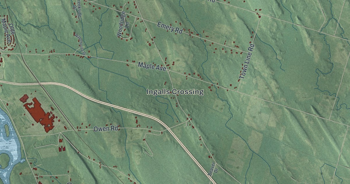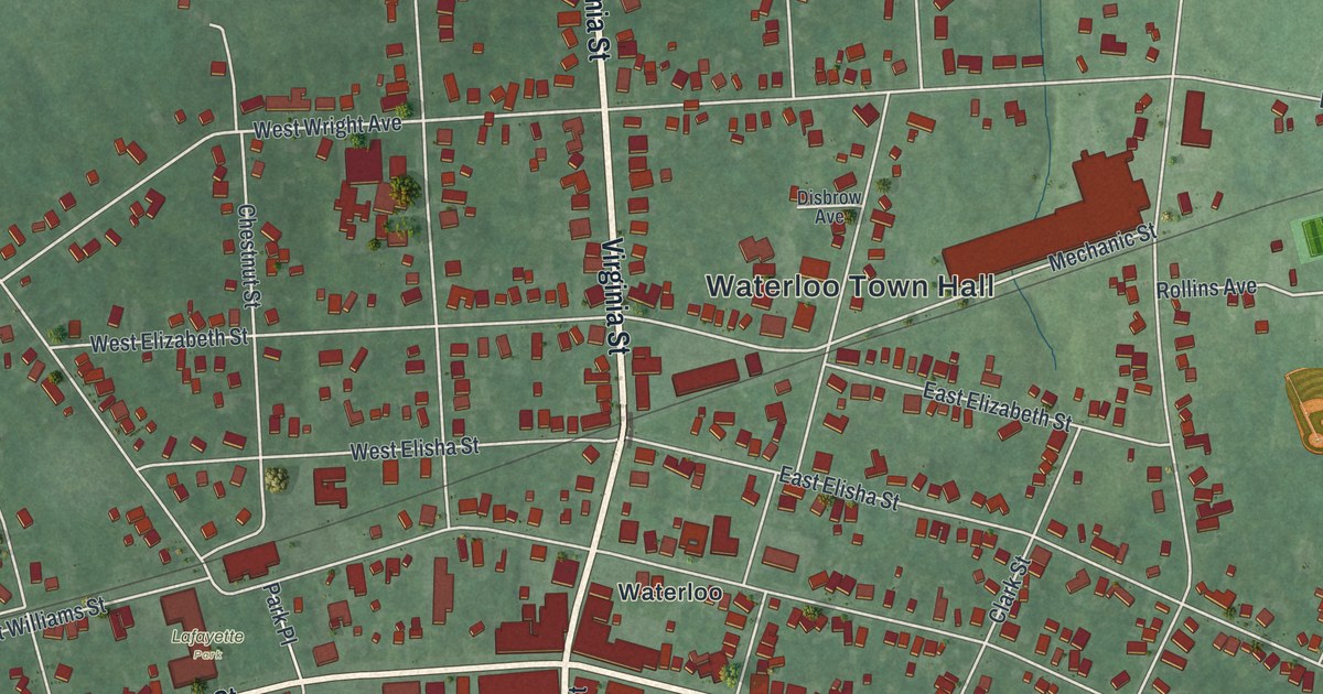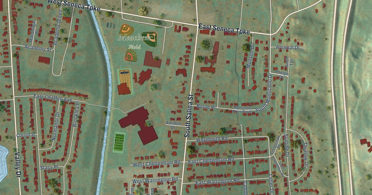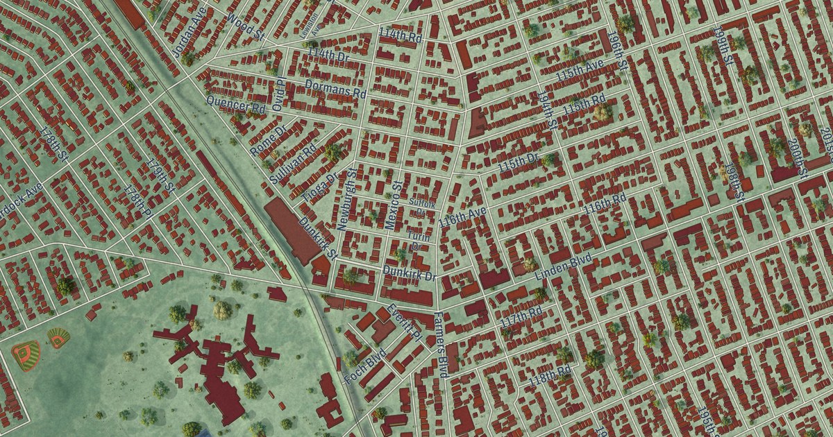
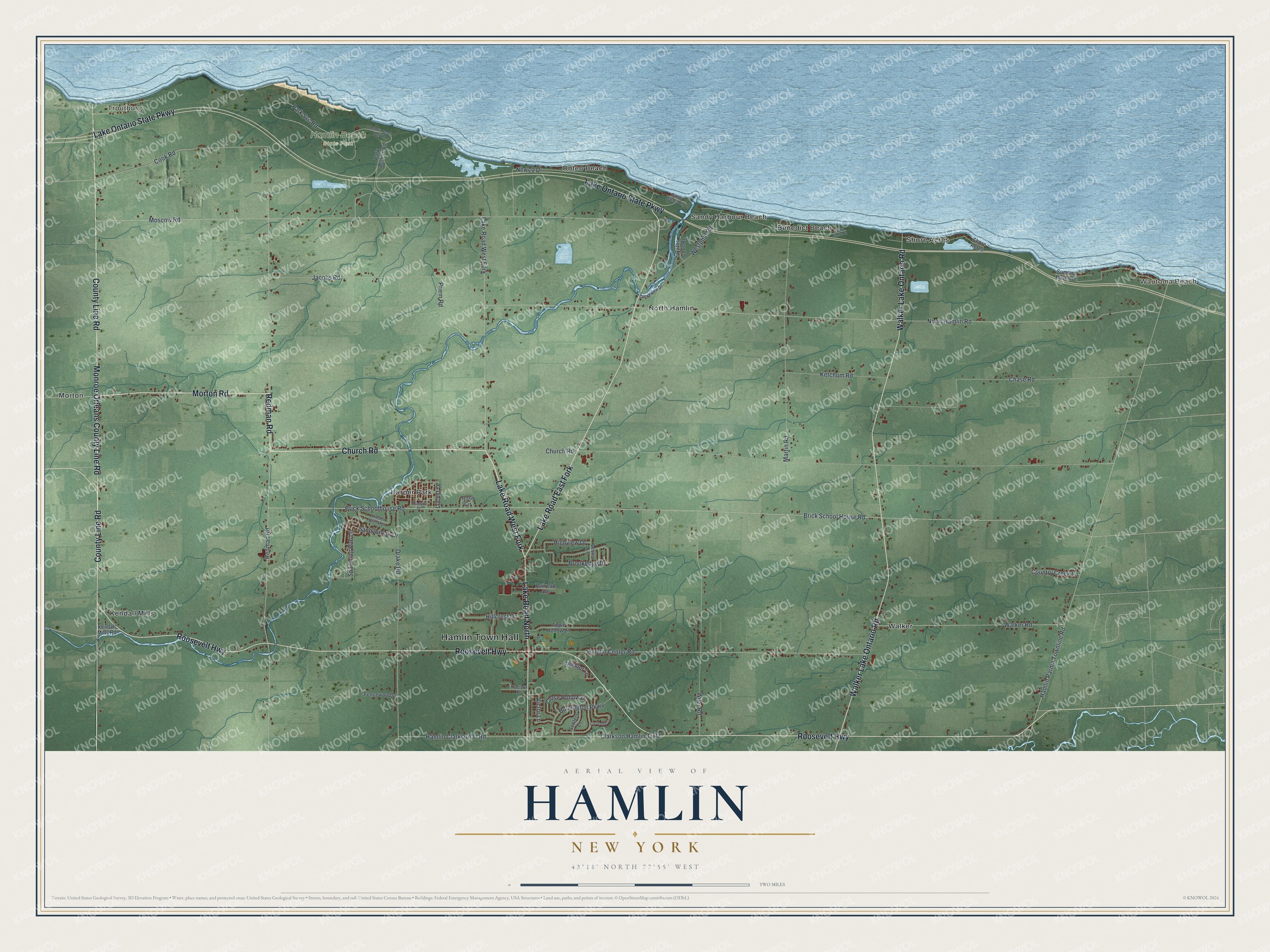
This beautifully detailed map of Hamlin, New York was created in 2026 using aerial imagery combined with modern topographical, census, street and landmark data. It’s a one-of-a-kind view of Hamlin that combines accurate data with a vintage aesthetic. The map shows every building in its true location, many of the roads carry their names, and the shaded topographic relief shows the shape of the land.
Explore an aerial view of Hamlin, New York
On the map you’ll find Hamlin Town Hall, Lake Road West Fork, Troutburg, Wautoma Beach, Benedict Beach, Harper Park, Kendall Mills, and Hamlin Beach State Park, along with Church Road, Redman Road, Morton Road, and more. If you look closely you can even find your house accurately drawn in its correct location. Zoom in on the preview to look for yours.
Did You Know?
Hamlin began in 1852 as the town of Union, split off from the town of Murray. In 1861 it took a new name. It honored Hannibal Hamlin, who was then serving as Abraham Lincoln’s first vice president.
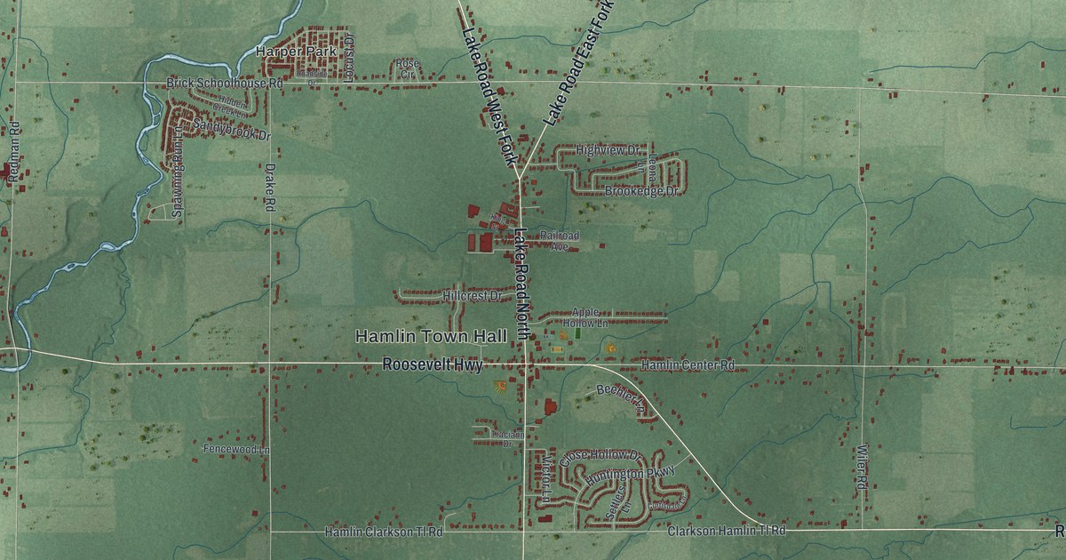
Take a closer look at the Hamlin map
Names on this map
These names are printed on this map.
Places: Hamlin Town Hall, Troutburg, Wautoma Beach, Hamlin Beach State Park, Benedict Beach, Harper Park, Kendall Mills, Morton, North Hamlin, Onteo Beach, Sandy Harbour Beach, Shore Acres and Walker.
Streets and roads: Church Road, Redman Road, Lake Road West Fork, Morton Road, Lake Road East Fork, Roosevelt Highway, Walker Lake Ontario Road, Lake Ontario State Parkway, County Line Road, Monroe Orleans County Line Road, Lake Road North, Newco Drive.
More street names, A to Z
Apple Hollow Lane, Beehler Lane, Brick School House Road, Brick Schoolhouse Road, Brookedge Drive, Chase Road, Clarkson Hamlin Tl Road, Close Hollow Drive, Cook Road, Country Creek Lane, Creekview Drive, Curtisdale Lane, Drake Road, Fencewood Lane, Hamlin Beach Park Road, Hamlin Center Road, Hamlin Clarkson Tl Road, Hamlin Parma Townline Road, Hidden Creek Lane, Highview Drive, Hillcrest Drive, Huntington Parkway, Jacobs Road, Kendall Mills Road, Ketchum Road, King Street, Leona Lane, Locust Drive, Martin Road, Moscow Road, North Hamlin Road, Park Access Road, Park Svc Road, Priem Road, Railroad Avenue, Roadside Drive, Rose Circle, Roths Cove Road, Sandybrook Drive, Sandy Harbor Road, Sandy Shore Drive, Settlers Lane, Spawning Run Lane, Summer Haven Drive, Traciann Drive, Victor Lane, Walker Road, Westphal Road, Wiler Road.
See it on a wall
The Hamlin map as a framed print. Swipe for more.


This beautifully detailed map of Hamlin makes an attractive addition to your office, library, or den, and it can even be used to teach children the geography and history of the area. It also makes a great gift for anyone who grew up in Hamlin or moved away. When you’re done exploring, click here to get your copy of the Hamlin map.