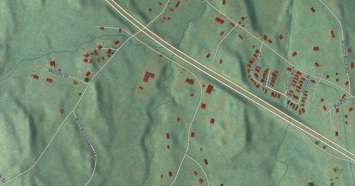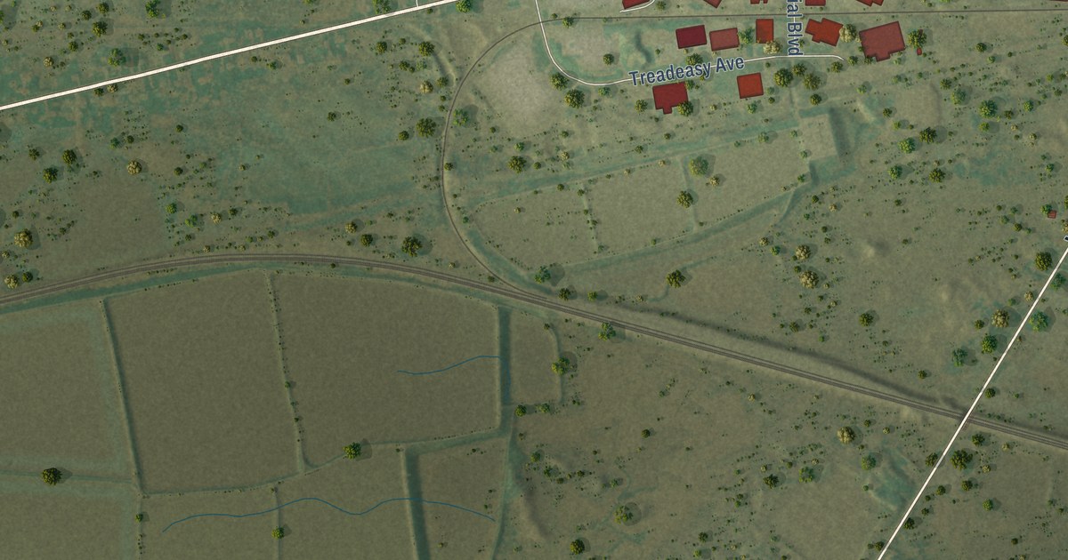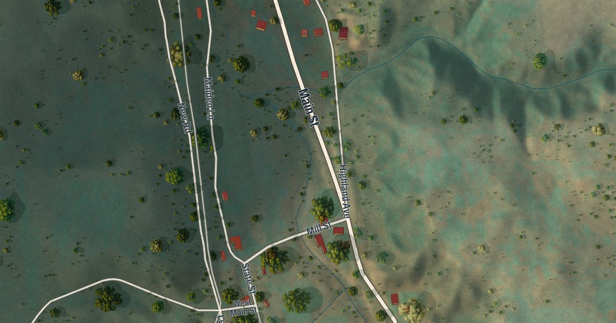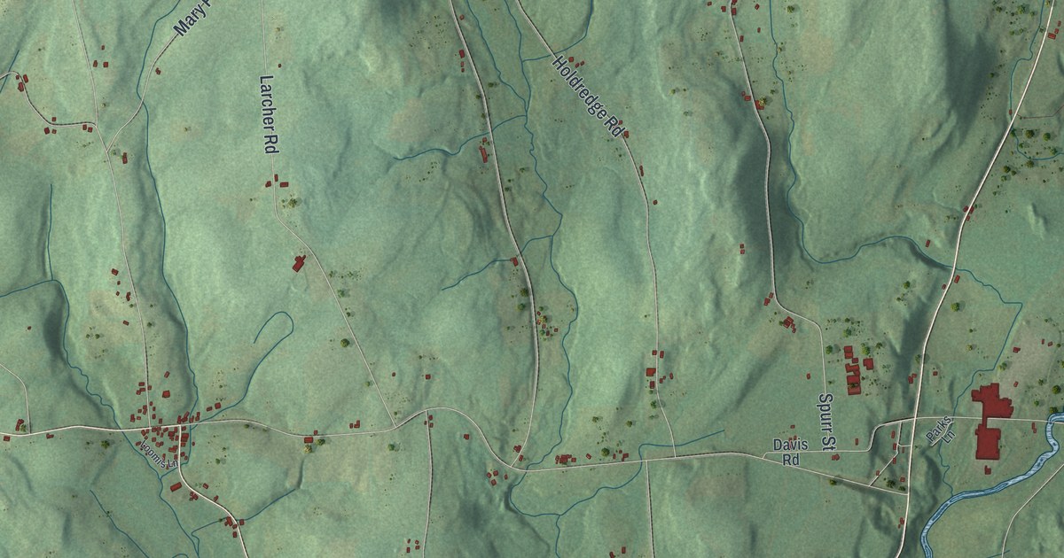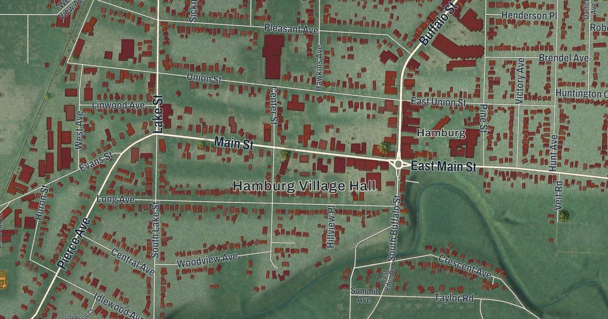
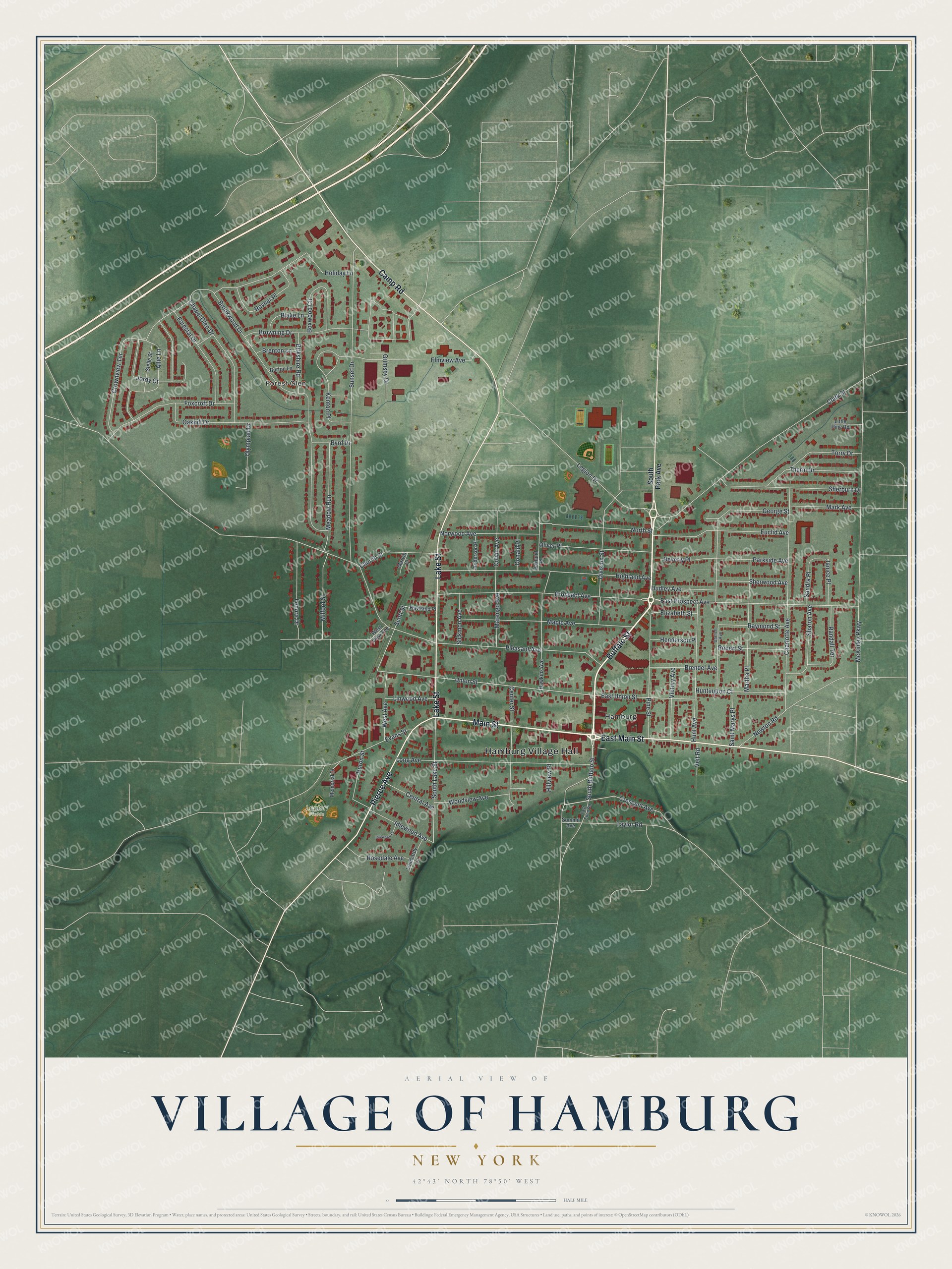
This beautifully detailed map of the Village of Hamburg, New York was created in 2026 using aerial imagery combined with modern topographical, census, street and landmark data. It’s a one-of-a-kind view of the Village of Hamburg that combines accurate data with a vintage aesthetic. The map shows every building in its true location, many of the roads carry their names, and the shaded topographic relief shows the shape of the land.
Explore an aerial view of the Village of Hamburg, New York
On the map you’ll find Hamburg Village Hall and Forest Glen, along with Buffalo Street, Main Street, Pierce Avenue, Lake Street, and more. If you look closely you can even find your house accurately drawn in its correct location. Zoom in on the preview to look for yours.
Take a closer look at the Village of Hamburg map
Names on this map
These names are printed on this map.
Places: Hamburg Village Hall, Forest Glen, Legion Fields and Hamburg.
Streets and roads: Buffalo Street, Main Street, East Main Street, Pierce Avenue, Lake Street, Camp Road, South Buffalo Street, Clark Street, Legion Drive, East Prospect Avenue, Prospect Avenue, South Lake Street.
More street names, A to Z
Allie Lane, Anderson Place, Beverly Place, Birkshire Road, Blake Lane, Boxwood Circle, Brendel Avenue, Brenton Lane, Brookwood Drive, Browning Drive, Burton Lane, Byrd Drive, Center Street, Central Avenue, Chapel Glen Drive, Charlotte Avenue, Church Street, Colvin Avenue, Crescent Avenue, Crownview Terrace, Darlich Avenue, Division Street, Donald Place, Dudley Avenue, East Eden Road, East Union Street, Elizabeth Street, Elmview Avenue, Euclid Avenue, Evans Street, Forestal Drive, Foxcroft Drive, George Street, Grimsby Drive, Haviland Place, Hawkins Avenue, Henderson Place, Highland Avenue, Hillview Place, Holiday Lane, Hunt Avenue, Huntington Court, Huron Street, Idlewood Avenue, Idlewood Court, Janice Place, Jordy Court, Kenton Place, Lenora Drive, Linwood Avenue, Little Pine Road, Lombardy Lane, Long Avenue, Maple Avenue, Marengo Avenue, Mark Avenue, Martha Place, Marvin Court, McKinley Parkway, Meadow Run, Memorial Drive, Milford Street, Newton Road, North Street, Norwood Avenue, Oakhill Drive, Oakland Place, Oliver Place, Olympiad Drive, Parkside Avenue, Pine Street, Pleasant Avenue, Randall Terrace, Raymond Street, Robert Street, Rosedale Avenue, Rovner Place, Saint Marys Place, Sandra Place, Scott Street, Sharon Avenue, Sherburn Drive, Sherwood Avenue, Sickmon Avenue, South Park Avenue, Stelle Street, Summit Avenue, Sunset Drive, Taylor Road, Therin Drive, Torry Drive, Union Street, Veit Road, Victory Avenue, West Avenue, West View Avenue, Woodview Avenue.
See it on a wall
The Hamburg map as a framed print. Swipe for more.


This beautifully detailed map of the Village of Hamburg makes an attractive addition to your office, library, or den, and it can even be used to teach children the geography and history of the area. It also makes a great gift for someone who left the Village of Hamburg and still calls it home. When you’re done exploring, click here to get your copy of the Village of Hamburg map.