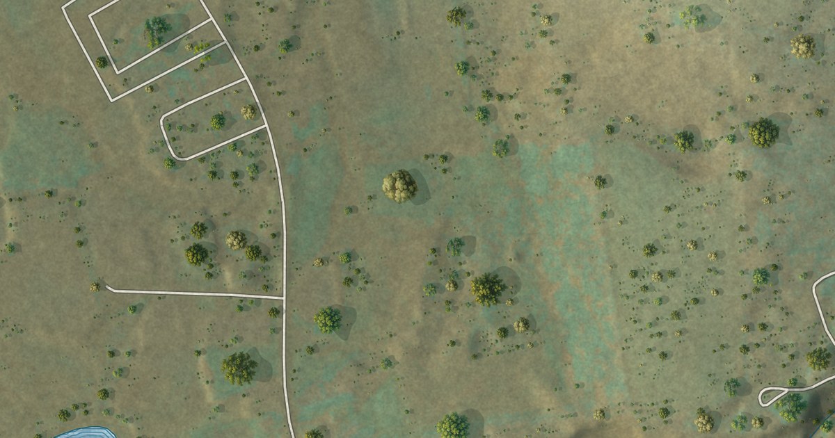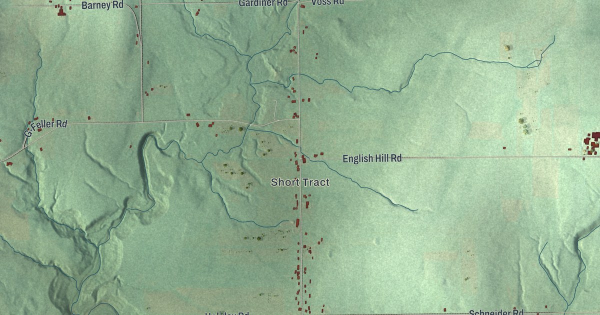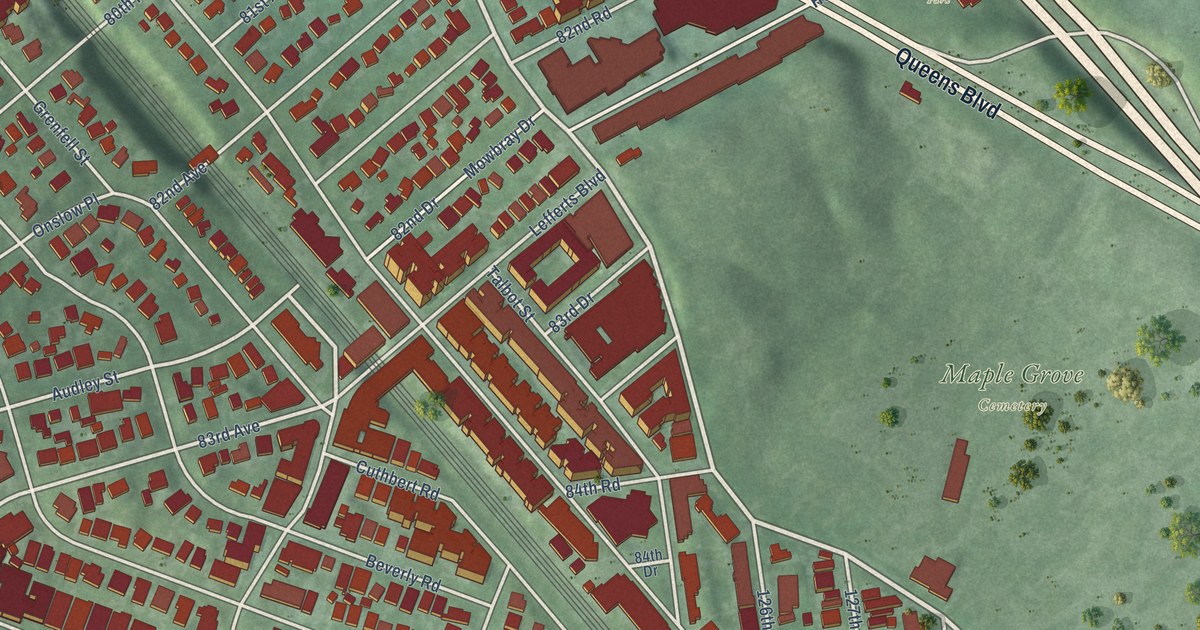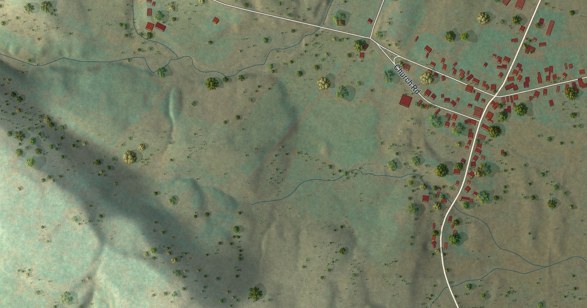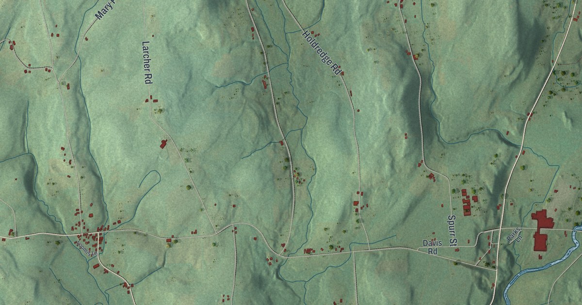
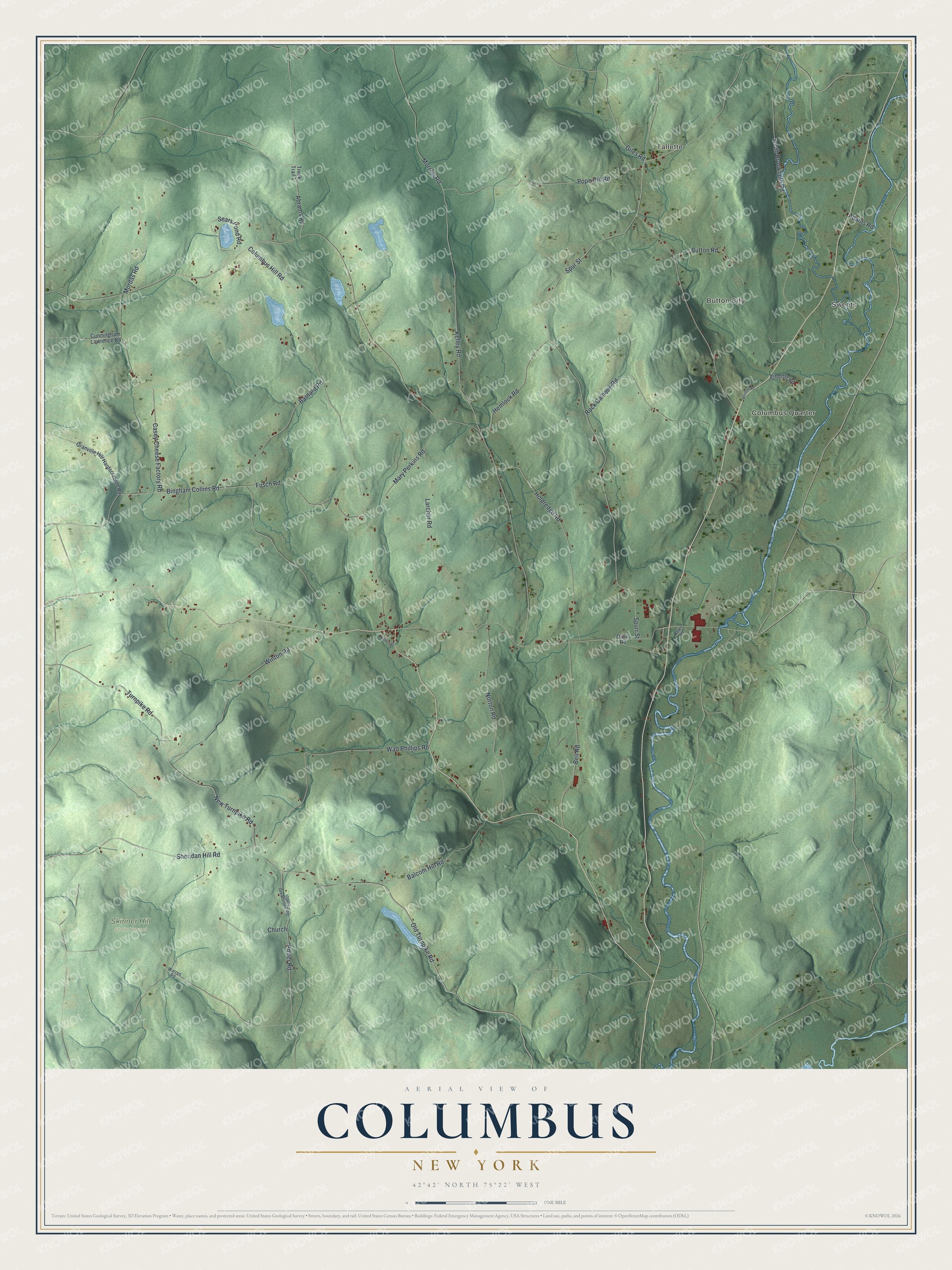
This beautifully detailed map of Columbus, New York was created in 2026 using aerial imagery combined with modern topographical, census, street and landmark data. It’s a one-of-a-kind view of Columbus that combines accurate data with a vintage aesthetic. The map shows every building in its true location, many of the roads carry their names, and the shaded topographic relief shows the shape of the land.
Explore an aerial view of Columbus, New York
On the map you’ll find Sweets, Tallette, Button City, Columbus Quarter, and Skinner Hill State Forest, along with Turnpike Road, Bingham Collins Road, Spurr Street, Kelley Road, Morrow Road, and more. If you look closely you can even find your house accurately drawn in its correct location. Zoom in on the preview to look for yours.
Did You Know?
Settlers first came to Columbus around 1791. Columbus became a town in 1805, split off from Brookfield, now part of Madison County. Norwich gave up more land to it in 1807. Chobani yogurt and Golden Artist Colors are both made in the town today.
Take a closer look at the Columbus map
Names on this map
These names are printed on this map.
Places: Sweets, Tallette, Button City, Columbus Quarter and Skinner Hill State Forest.
Streets and roads: Turnpike Road, Bingham Collins Road, Spurr Street, Kelley Road, Morrow Road, Sheridan Hill Road, Columbus Hill Road, Old Turnpike Road, Walt Phillips Road, New Turnpike Road, Fusch Road, Casey Cheese Factory Road.
More street names, A to Z
Abrams Road, Adams Road, Balcom Hill Road, Barnard Road, Bell Road, Button Road, Church, Cunningham Lawrence Road, Davis Road, Eiholzer Road, Giles Road, Granville Hill Hardscrabble Road, Hemlock Road, Holdredge Road, Larcher Road, Loomis Lane, Mary Perkins Road, Mordas Road, Norton Road, Parks Lane, Pope Hill Road, Potter Road, Rock Calhoun Road, Sears Pond Road, South Brookfield Road, Spur Street, Truck Trail 1, Upper Greatbrook Road, Warren Road, Whitton Road, Winton Road.
See it on a wall
The Columbus map as a framed print. Swipe for more.


This beautifully detailed map of Columbus makes an attractive addition to your office, library, or den, and it can even be used to teach children the geography and history of the area. It also makes a great gift for anyone with Columbus roots. When you’re done exploring, click here to get your copy of the Columbus map.