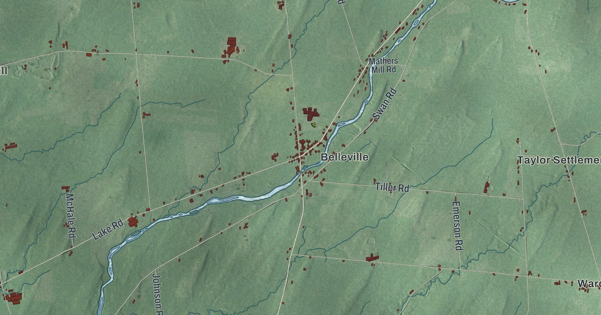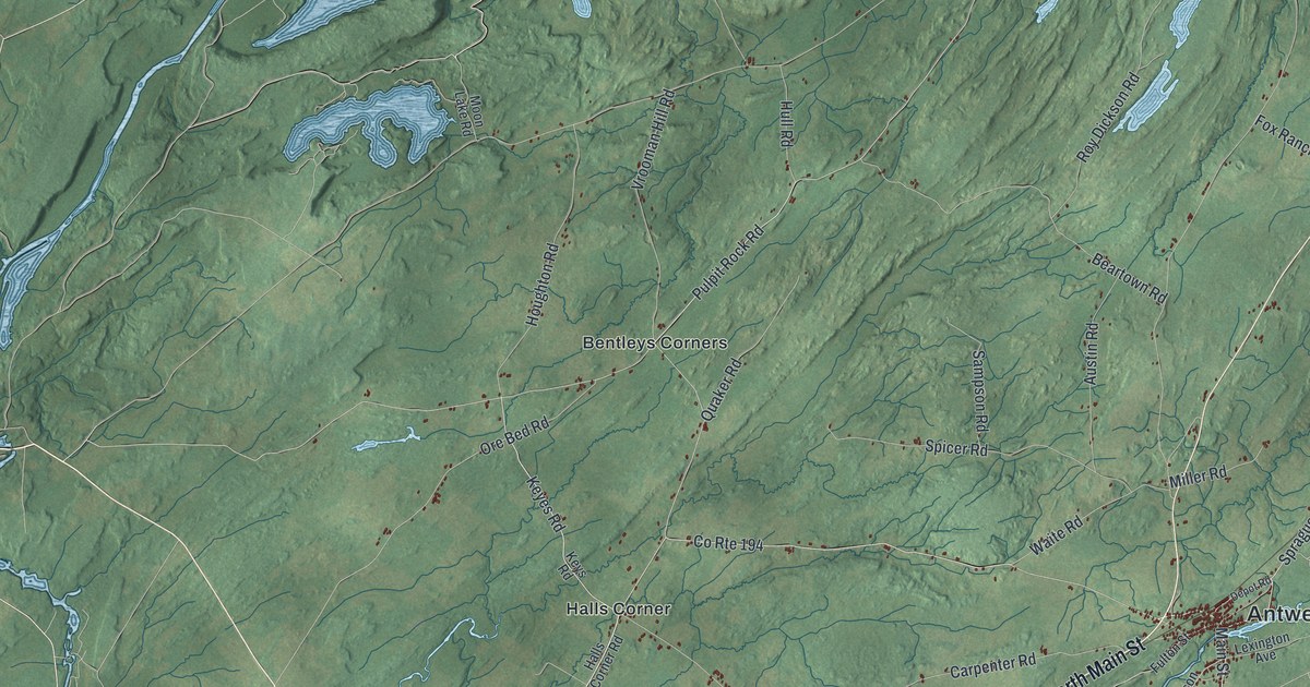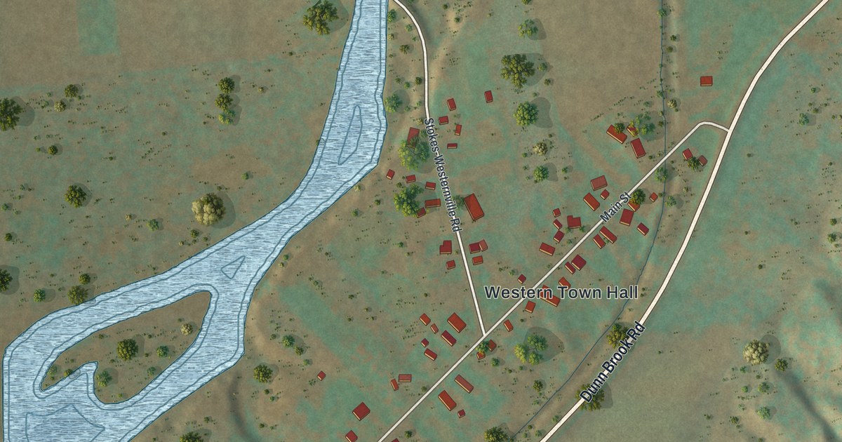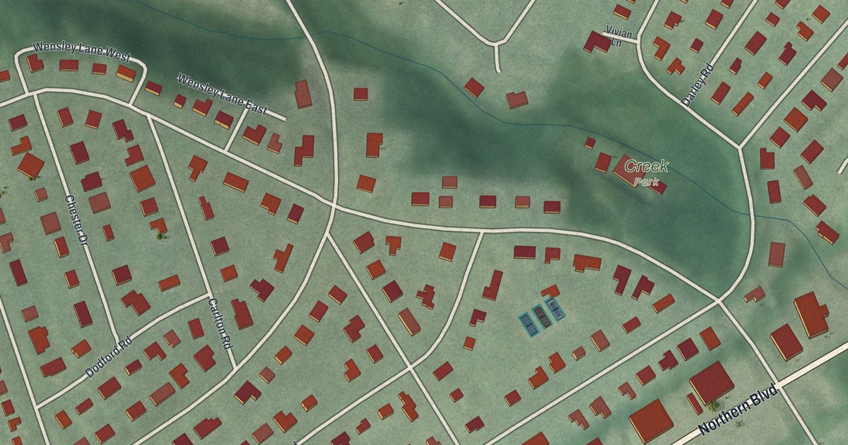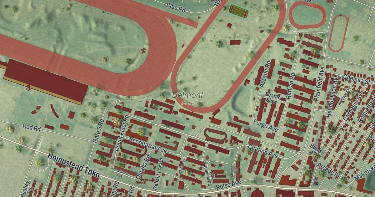
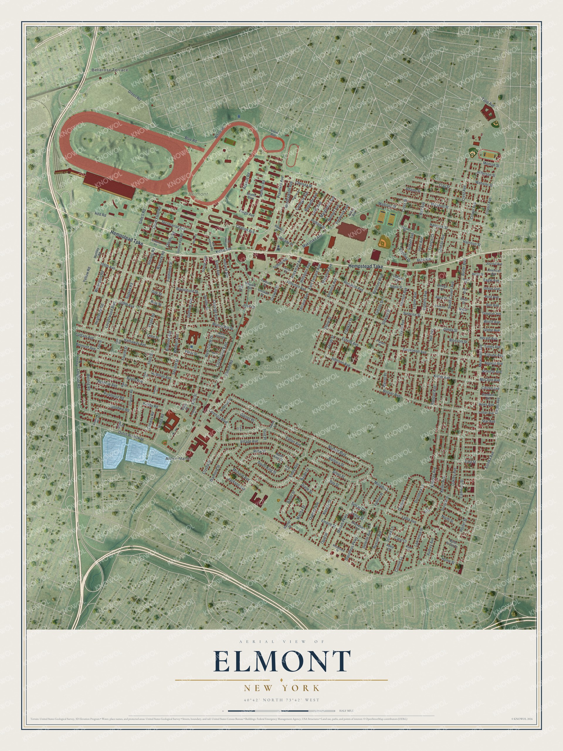
This beautifully detailed map of Elmont, New York was created in 2026 using aerial imagery combined with modern topographical, census, street and landmark data. It’s a one-of-a-kind view of Elmont that combines accurate data with a vintage aesthetic. The map shows every building in its true location, many of the roads carry their names, and the shaded topographic relief shows the shape of the land.
Explore an aerial view of Elmont, New York
On the map you’ll find Belmont Park and Beth David Cemetery, along with Hempstead Turnpike, Count Fleet Road, Citation Avenue, Norfeld Boulevard, Eureka Avenue, Bellerose Terrace, and more. If you look closely you can even find your house accurately drawn in its correct location. Zoom in on the preview to look for yours.
Did You Know?
In 1650 Christopher and Thomas Foster bought a large tract on the Hempstead Plains. They planned to raise cattle and sheep there, and they called it Foster’s Meadow. That name held for about two centuries. In 1882 the community was renamed Elmont.
Take a closer look at the Elmont map
Names on this map
These names are printed on this map.
Places: Belmont Park, Beth David Cemetery, Alden Manor and Bellerose Terrace.
Streets and roads: Hempstead Turnpike, Count Fleet Road, Citation Avenue, Norfeld Boulevard, Eureka Avenue, First Street, Circle Drive East, Dutch Broadway, Meacham Avenue, Elmont Road, Oakley Avenue, Evans Avenue.
More street names, A to Z
106th Avenue, 109th Avenue, Adams Street, Adele Court, Affirmed Road, Alpha Street, American Avenue, Amethyst Street, Appeal Avenue, Arcade Place, Argo Avenue, Arthur Avenue, Assault Road, Astor Street, Atherton Avenue, Audrey Avenue, Barbara Street, Bauer Court, Bauer Street, Baylis Avenue, Beiling Road, Belmont Avenue, Belmont Boulevard, Belpark Avenue, Benson Avenue, Biltmore Avenue, Blackstone Street, Blossom Street, Blue Road, Burtis Place, Butler Boulevard, Cameron Street, Carnegie Avenue, Caryl Court, Cedar Street, Cerenzia Boulevard, Chelsea Street, Chowan Street, Citizen Avenue, Claridge Avenue, Clay Street, Collier Avenue, Connie Lane, Conway Road, Covert Avenue, Crest Avenue, Cross Street, Crowell Street, Crown Avenue, Croydon Road, Crystal Street, Dauntless Parkway, Demille Avenue, Depaul Street, Diamond Street, Diane Street, Diellen Lane, Doherty Avenue, Donovan Street, Dorothea Lane, Dover Street, Eagle Avenue, East Street, East Terrace Avenue, Elliot Street, Elzey Avenue, Emily Avenue, Empire Street, Emporia Avenue, Essex Road, Estelle Avenue, Fairfax Street, Fallon Avenue, Fallon Court, Fieldmere Street, Fifth Street, Flint Place, Forgo Avenue, Fourth Street, Fox Street, Francis Court, Franklin Street, Frederick Avenue, Froehlich Place, Gail Court, Gallant Fox Road, Garnet Place, Gate 5 Road, Gene Lane, Globe Avenue, Goodwin Road, Gotham Avenue, Green Road, Hancock Street, Harriet Street, Harrison Street, Hathaway Avenue, Healy Street, Heathcote Road, Hendrickson Avenue, Herald Avenue, Herbert Avenue, Hill Avenue, Hillsboro Avenue, Hoeffner Avenue, Hoffman Avenue, Holland Avenue, Home Street, Huntley Road, Jackson Avenue, Jacob Street, James Street, Jefferson Street, Joan Court, John Avenue, Johnson Avenue, Journal Avenue, Keller Avenue, Kelso Avenue, Keswick Road, Kiefer Avenue, King Street, Kirkby Road, Kirkman Avenue, Kraus Court, Landau Avenue, Lawrence Street, Lee Court, Lehrer Avenue, Leighton Road, Lenore Lane, Lenox Street, Len Road, Lincoln Street, Locustwood Boulevard, Louis Avenue, Ludlam Avenue, Ludlam Place, Lydia Avenue, Madison Street, Makofske Avenue, Malta Street, Marguerite Avenue, Marie Court, Marshall Street, Martha Street, McClure Avenue, Miriam Court, Miriam Parkway, Monaco Avenue, Monroe Street, Murray Hill Street, Nassau Street, News Avenue, North Ascan Street, North Circle Drive, North King Street, North Street, Oak Street, Omaha Road, Omega Street, Opal Street, Parkhurst Road, Parkway Drive, Pelham Street, Peter Street, Pine Street, Plainfield Avenue, Porter Street, Post Avenue, Praver Place, Queens Avenue, Raff Avenue, Randall Avenue, Red Road, Renfrew Avenue, Ridge Road, Robert Avenue, Rockmart Avenue, Roquette Avenue, Rosalind Avenue, Rosser Avenue, Roy Street, Ruby Street, Ruffian Road, Russell Avenue, Rye Street, Savoy Avenue, School Road, Scimitar Avenue, Seattle Slew, Second Street, Secretariat Avenue, Seville Street, Sewanee Avenue, Silver Street, Sir Barton Avenue, South Covert Avenue, South King Street, Standard Avenue, Stanwich Place, Star Avenue, Steele Street, Sterling Road, Stewart Street, Stone Street, Stuyvesant Street, Sun Avenue, Surprise Street, Sussex Road, Sweetman Avenue, Sylvan Court, Tarboro Street, Telegram Avenue, Terrace Avenue, Third Street, Times Avenue, Travis Avenue, Tribune Avenue, Tulip Avenue, Union Avenue, Valmont Place, Village Avenue, Violet Avenue, Virginia Drive, Vista Place, Waldorf Avenue, War Admiral Road, Warwick Road, Webster Street, Wellington Road, Werns Place, West Circle Drive, Whirlaway, White Road, Woodstock Street, Woolworth Street, World Avenue, Yellow Road.
See it on a wall
The Elmont map as a framed print. Swipe for more.


This beautifully detailed map of Elmont makes an attractive addition to your office, library, or den, and it can even be used to teach children the geography and history of the area. It also makes a great gift for anyone with Elmont roots. When you’re done exploring, click here to get your copy of the Elmont map.