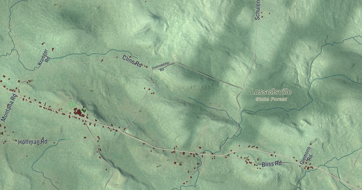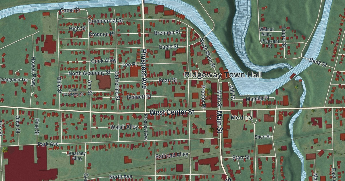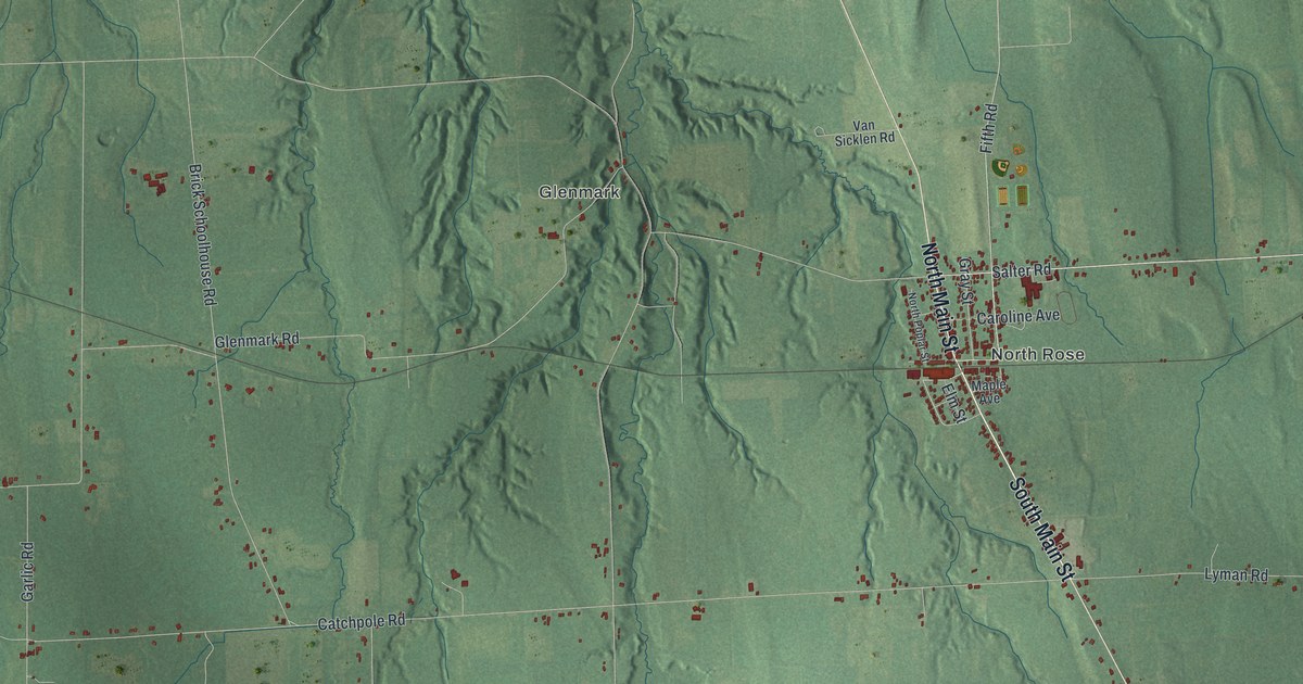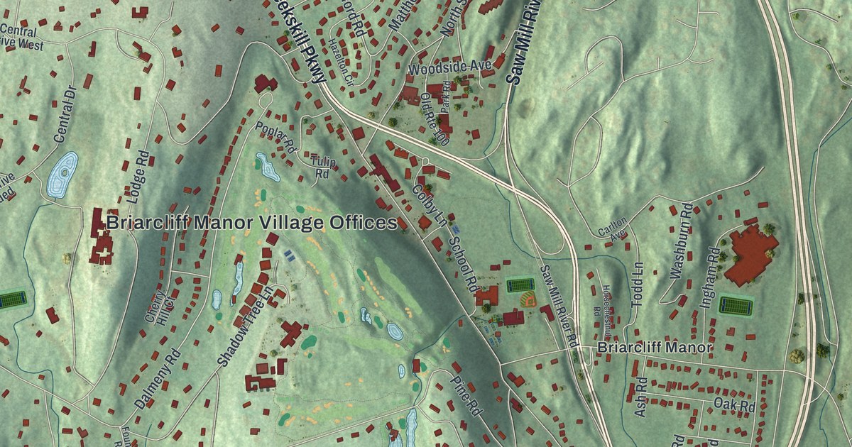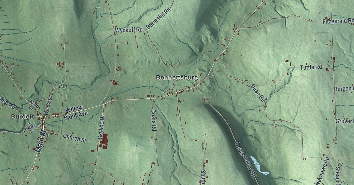
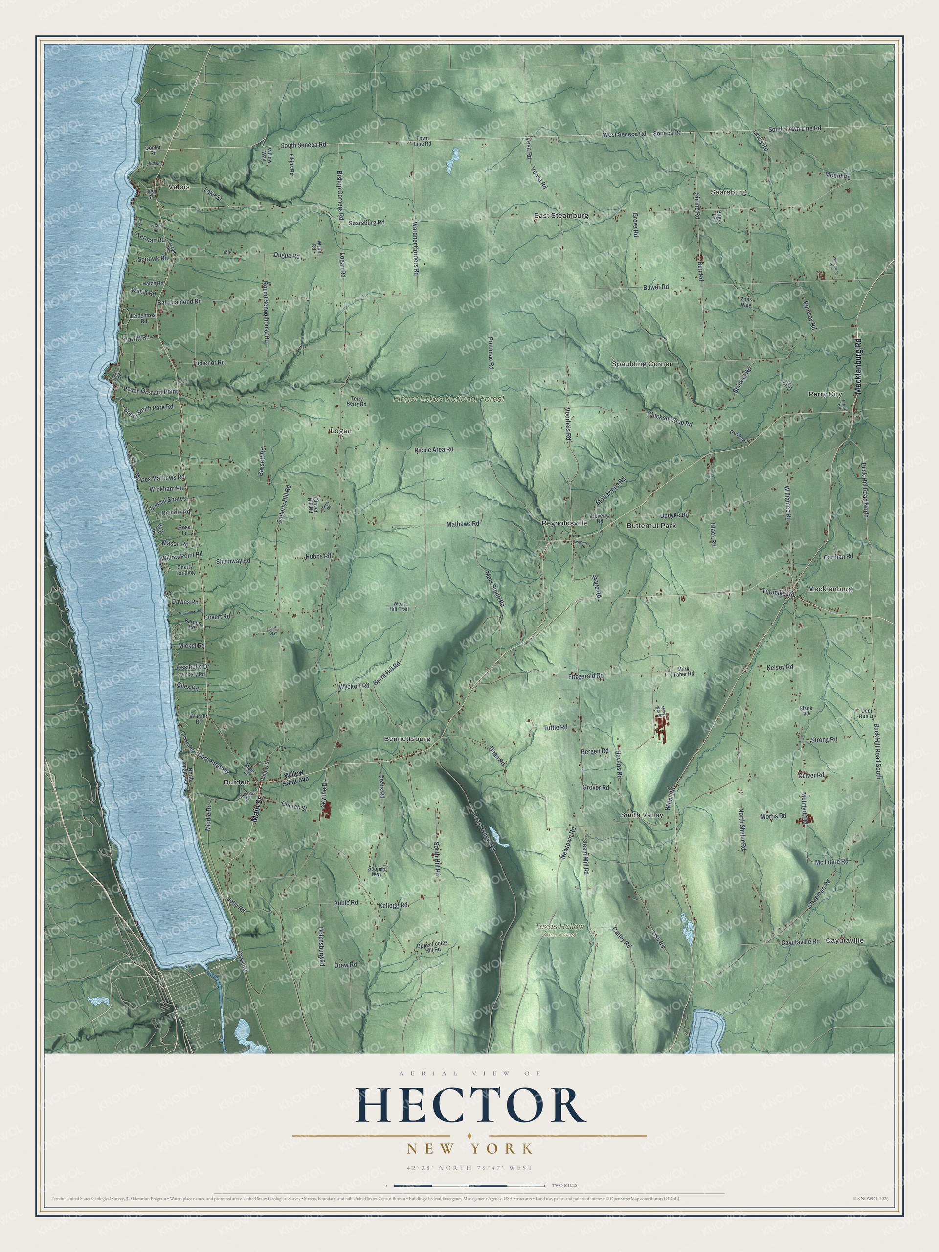
This beautifully detailed map of Hector, New York was created in 2026 using aerial imagery combined with modern topographical, census, street and landmark data. It’s a one-of-a-kind view of Hector that combines accurate data with a vintage aesthetic. The map shows every building in its true location, many of the roads carry their names, and the shaded topographic relief shows the shape of the land.
Explore an aerial view of Hector, New York
On the map you’ll find Valois, Searsburg, Bennettsburg, Burdett, Butternut Park, Finger Lakes National Forest, and Texas Hollow State Forest, along with Mecklenburg Road, Main Street, Willow Saint Avenue, Seneca Road, Voorheis Road, and more. If you look closely you can even find your house accurately drawn in its correct location. Zoom in on the preview to look for yours.
Did You Know?
A temperance society formed at Hector in 1818. In 1826 its members could sign one of two pledges. One gave up hard liquor, and the other gave up all drink. The secretary marked a T beside each name on the stricter list. Those signers became known as T-Totalers. That’s from the 1940 WPA guide to New York.
Take a closer look at the Hector map
Names on this map
These names are printed on this map.
Places: Valois, Searsburg, Finger Lakes National Forest, Texas Hollow State Forest, Bennettsburg, Burdett, Butternut Park, Cayutaville, East Steamburg, Logan, Mecklenburg, Perry City, Reynoldsville, Smith Valley and Spaulding Corner.
Streets and roads: Mecklenburg Road, Main Street, Seneca Road, Voorheis Road, Buck Hill Road North, Stage Road, South Town Line Road, Buck Hill Road South, West Seneca Road, Bower Road, South Seneca Road, Cayutaville Road.
More street names, A to Z
15 Club Road, Auble Road, Ball Diamond Road, Barnes Road, Bassett Road, Bergen Road, Birge Road, Bishop Corners Road, Black Road, Bond-Smith Park Road, Brook Road, Bugs Lane, Burnt Hill Road, Burr Road, Bw Road, Carley Road, Carman Road, Carpenter Road, Cass Road, Chapman Road, Chase Road, Cherry Landing, Chicken Coop Road, Church Street, Clover Hill Road, Club 15 Road, Club Seneca Road, Coats Road, Confer Road, Covert Road, Culver Road, Davies Road, Dean Road, Deer Run Lane, Dolphsburg Road, Drew Road, Dugue Road, Elkins Road, Factory Street, Fausold Road, Fitzgerald Road, Giles Road, Golden Lane, Grove Road, Grover Road, Hatch Road, Havens Road, Hazlitt Road, Heverly Road, High Street, Hillside Way, Hubbs Road, Jessibelle Drive, Jolly Road, Kellogg Road, Kelsey Road, Lake Street, Leidenfrost Road, Lewis Road, Lisk Road, Logan Road, Mapes Mathews Road, Mark Smith Road, Mark Taber Road, Mason Road, Mathews Road, McIntyre Road, Mc Intyre Road, Mickel Road, Middle Road, Milky Way Drive, Morris Road, Mott Evans Road, Mount Road, Newtown Road, Nichols Road, Nipantuck Road, North Falls Road, North Shuler Road, Peach Orchard, Peach Orchard Point, Picnic Area Road, Pierce Road, Potomac Road, Raspberry Lane, Rose Lane, Round Schoolhouse Road, Rumsey Road, Satterly Hill Road, Scoppa Way, Searsburg Road, Shumway Road, Sirrine Road, Sisu Lane, Skyline Drive, Slack Road, South Hill Road, Spirawk Road, Steam Mill Road, Stillwell Road, Strong Road, Sunset Shores, Taz Road, Terman Road, Terry Berry Road, Texas Hollow Road, Tichenor Road, Town Line Road, Turnpike Road, Tuttle Road, Updike Lane, Updyke Road, Upper Footes Hill Road, Veasa Road, Vesa Road, Vickery Road, Walsh Road, Wardner Corners Road, Warner Road, West Hill Trail, Wickham Road, Willet Road, Williamee Road, Willow Point Road, Willow Saint Avenue, Willow Street, Willow Way, Windborne Way, Wyckoff Road, Wynn Road, Zoes Way.
See it on a wall
The Hector map as a framed print. Swipe for more.


This beautifully detailed map of Hector makes an attractive addition to your office, library, or den, and it can even be used to teach children the geography and history of the area. It also makes a great gift for someone who left Hector and still calls it home. When you’re done exploring, click here to get your copy of the Hector map.